Carretera Austral

Aysén do General Carlos Ibáñez del Campo · Chile

Carretera Austral

Ruta 7 cuts across the Chilean Patagonia through forests, rivers and glaciers, with Coyhaique as a base for reserves, lagoons and the climb to Cerro Castillo.

Patagônia

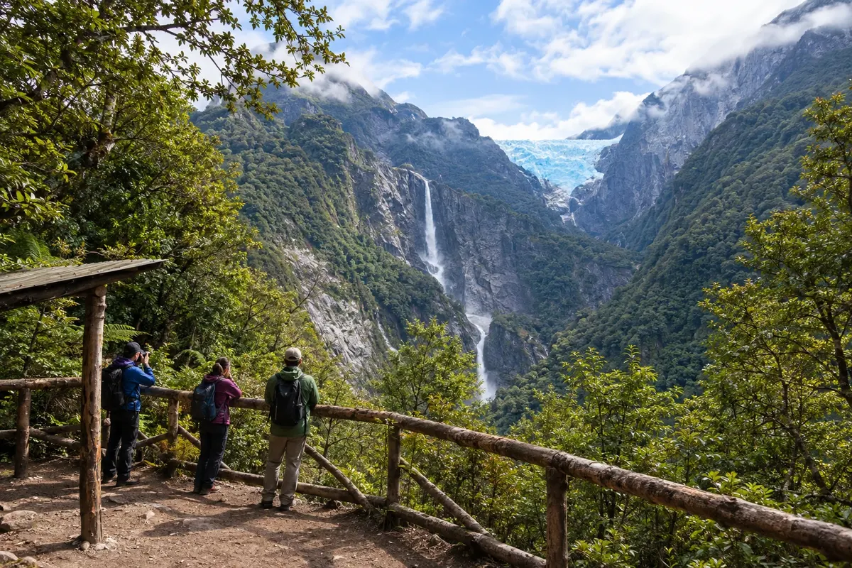
In the photo: Ventisquero Colgante seen from the viewpoint, Parque Nacional Queulat

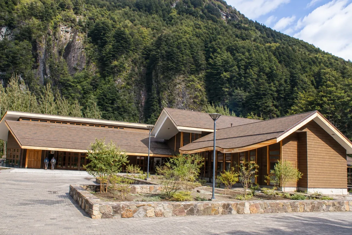
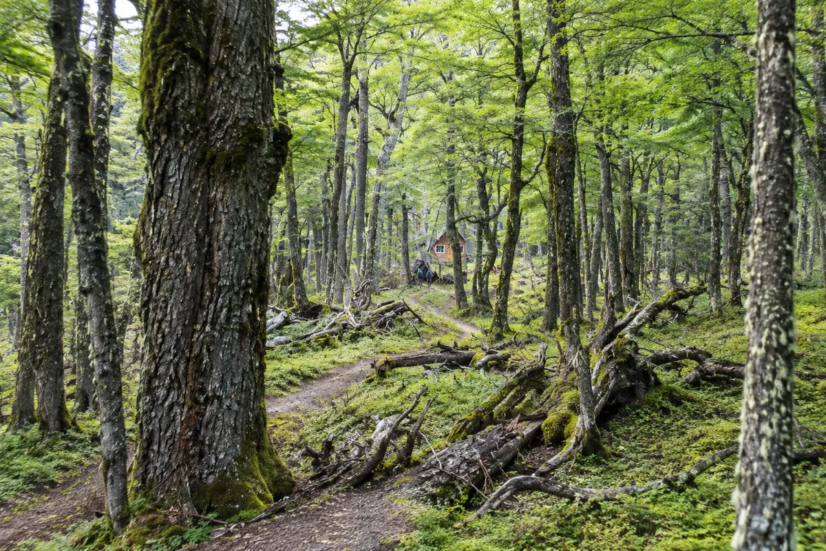
Illustrative images. The pictures in this guide are illustrations based on the real place, not photographs, and may differ from it.

Get it on Google Play Send your photos

Get to know the place

A region to enjoy
at your own pace.

The Carretera Austral, officially Ruta 7, runs through southern Chile from Puerto Montt to Villa O'Higgins, covering about 1,200 km of paved road, sections of ripio (loose gravel road) and ferry crossings through fjords and lakes. It was opened in stages from the 1970s and 1980s and is the main overland link between the settlements of the Aysén Region, where few people live in a vast area of mountains, forests and water.

Coyhaique, the capital of Aysén, sits midway and serves as a base for those arriving by plane. The city was founded in 1929 under the name Baquedano, at the meeting of the Simpson and Coyhaique rivers, and has a Plaza de Armas in the center shaped like a pentagon. Around it, less than an hour's drive away, are the Reserva Nacional Coyhaique, with trails among lenga forests and lagoons, and the Reserva Nacional Río Simpson, in the valley that descends toward Puerto Aysén, with waterfalls by the roadside.

To the south, the paved Ruta 7 climbs to Parque Nacional Cerro Castillo, whose 2,318-meter peak, full of rock towers, can be seen from afar. From there the long stretches begin: Puerto Río Tranquilo, where boats depart for the Capillas de Mármol on Lago General Carrera, is about 220 km from Coyhaique; Cochrane and Parque Nacional Patagonia are over 300 km away; Caleta Tortel, with cypress boardwalks over the water, is even farther. To the north, Parque Nacional Queulat and the Ventisquero Colgante are about 165 km away. Confirm distances before planning your itinerary.

Traveling the Carretera Austral requires time and flexibility. The towns are small, gas stations are far apart, and cellphone signal disappears in several stretches. The weather changes quickly, with rain, wind and sun in the same day, and winter brings snow to higher areas. In Aysén it's common to see people drinking mate, a legacy of the settlers and ranching life, and to try barbecued lamb, a dish of Patagonian tradition.

This destination brings together 1 city: Coyhaique.

Share: WhatsApp
Traveler, share your experiences through photos Up to 5 photos of each place you visited.

One destination, many paths

The cities on this trip

Start with one city or combine several in your itinerary.

Where Carretera Austral is
Coyhaique

Contornos: Natural Earth (domínio público). Adaptação do Cidade Turismo.

How to get there: Carretera Austral

✈ Aeródromo Balmaceda (BBA), in Balmaceda · 55 km to Coyhaique

The aerial gateway is Aeródromo Balmaceda, about 55 km from Coyhaique, with flights from Santiago and Puerto Montt. Confirm before booking. By land, Ruta 7 comes from the north, from Puerto Montt, with ferries along the way.

The local experience

Things to do in Carretera Austral

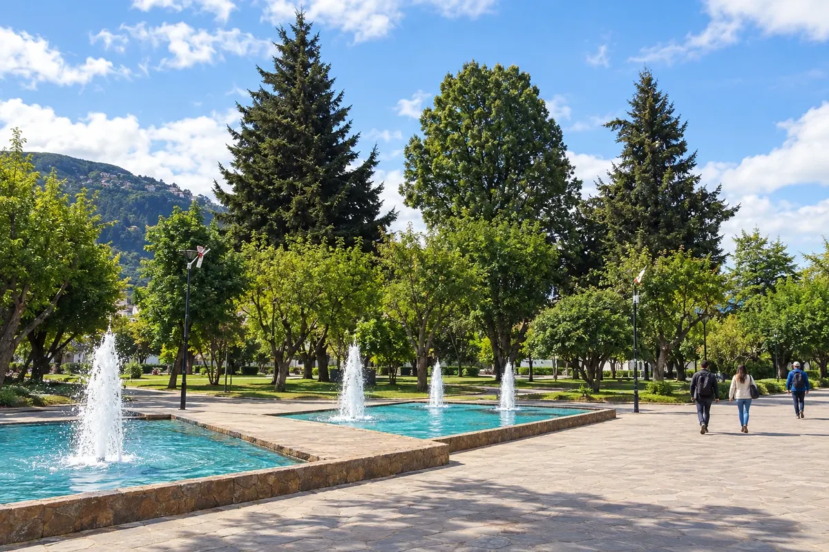
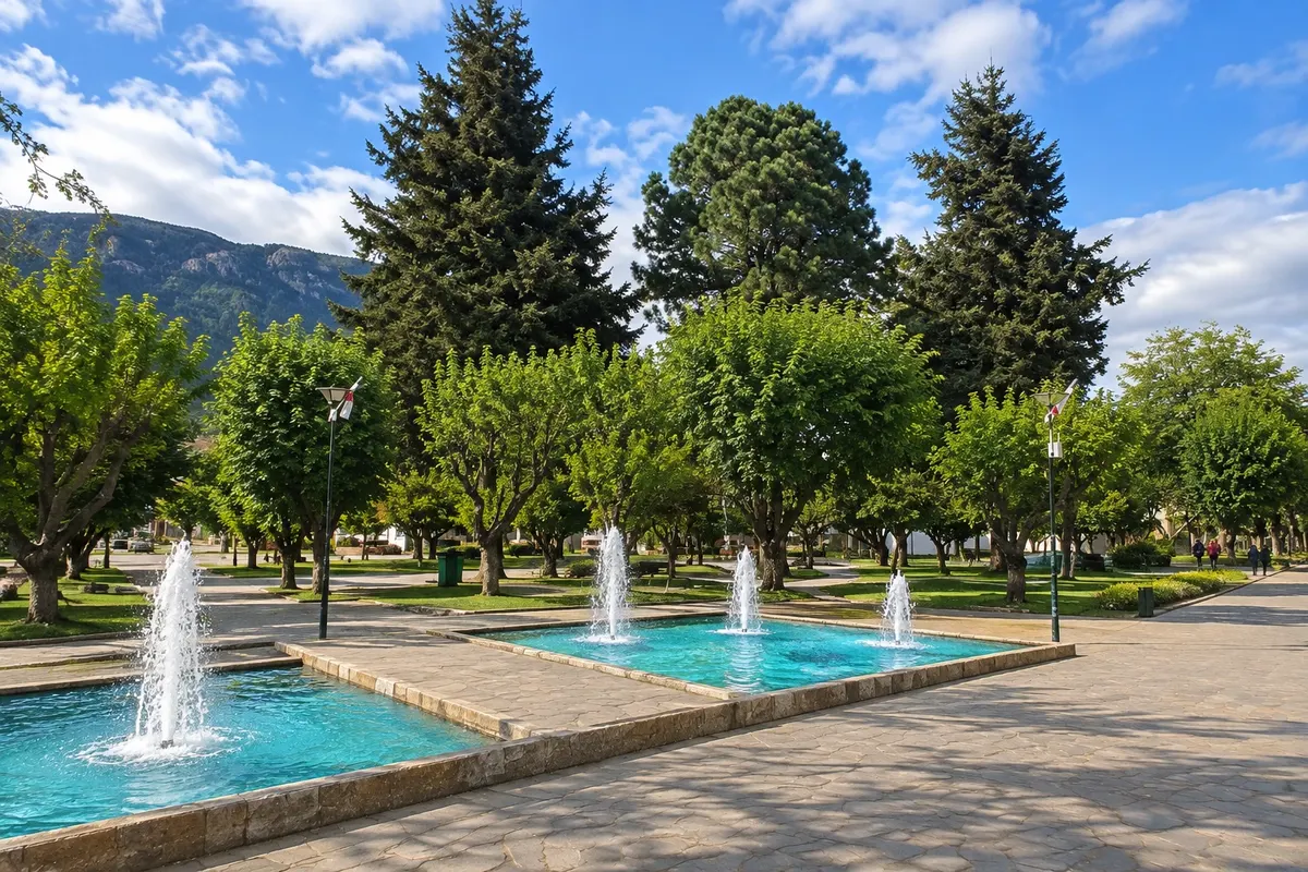
Plaza de Armas de Coyhaique
Coyhaique · Aysén do General Carlos Ibáñez del Campo · Historic square

Plaza de Armas de Coyhaique

Central plaza of Coyhaique, designed in the shape of a pentagon when the town was laid out. From it radiate the downtown streets, with shops, restaurants and the life of the capital of Aysén.

Reserva Nacional Coyhaique
Coyhaique · Aysén do General Carlos Ibáñez del Campo · Nature reserve

Reserva Nacional Coyhaique

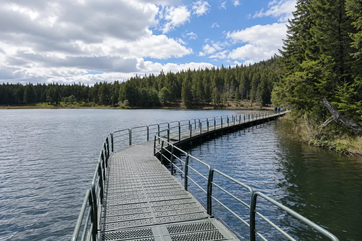
A CONAF reserve located just north of the city, with lenga and coigüe forests, ponds and trails with views over Coyhaique and the surrounding valleys. Created in 1948, it is one of the oldest protected areas in the region.

Reserva Nacional Río Simpson
Coyhaique · Aysén do General Carlos Ibáñez del Campo · Nature reserve

Reserva Nacional Río Simpson

Narrow, green valley of the Río Simpson, on the road between Coyhaique and Puerto Aysén, with waterfalls such as the Velo de la Novia and the Cascada de la Virgen, humid forest and short riverside trails.

Parque Nacional Cerro Castillo
Coyhaique · Aysén do General Carlos Ibáñez del Campo · National park

Parque Nacional Cerro Castillo

Park south of Coyhaique, cut through by the Carretera Austral, featuring Cerro Castillo at 2,318 meters, with rock towers that resemble a castle, glacial lagoons, mountain trails and a huemul population.

Before you go

Practical information

A little planning leaves more time to enjoy the journey.

When to go

The months from November to March are usually the easiest to drive the road: long days, more ferries and services open, and mild temperatures. January and February concentrate the traffic. From June to August there is snow, ice on the road and fewer buses; you can go, slowly, with a prepared car and a short itinerary.

The seasons shown are the most usual ones; nature doesn't always follow the calendar.

How many days to stay

Only Coyhaique and the surrounding area require two to three days. To include Cerro Castillo with a hike, add another one or two days. Those who want to go down to the Capillas de Mármol and back need at least five to six days in total. Driving the entire road, from Puerto Montt to Villa O'Higgins, usually takes two weeks or more, accounting for ferry and weather delays.

Which city to stay in

Coyhaique has the largest accommodation offer in the region: the center, around the Plaza de Armas and the streets that radiate from it, puts everything within walking distance, with restaurants, markets and agencies. Those traveling by car can stay in ranches and cabins around the outskirts, on the road to Puerto Aysén or in the Río Simpson valley. For Cerro Castillo, Villa Cerro Castillo has simple lodgings and camping areas. Further south, Puerto Río Tranquilo and Cochrane serve as stops for those continuing along the route.

Respect the place

Take your trash with you, follow the signs and support local businesses. In natural areas, follow the visiting guidelines.

Get your questions answered

Frequently asked questions about Carretera Austral

How many days to reserve for the Carretera Austral?

It depends on the section. Based in Coyhaique with day trips, three to four days are enough for the city, nearby reserves and Cerro Castillo. To reach the Capillas de Mármol on Lago General Carrera, allow five to six days. The full road, with Queulat to the north and Caleta Tortel or Villa O'Higgins to the south, requires two weeks or more, because distances are large and the ripio sections force low speeds.

When to go to the Carretera Austral?

From November to March the trip is usually easier: there are more daylight hours, ferries run more frequently and most accommodations and tours are operating. In April and May autumn paints the lengas red and yellow, with less traffic and colder days. In winter, from June to August, snow and ice make some stretches difficult; those traveling at that time should drive slowly, carry chains and check road conditions daily.

Do you need a car to travel the Carretera Austral?

A car gives freedom, but it's not mandatory. There are buses between Coyhaique and towns to the north and south, with lower frequency outside summer, and agencies in Coyhaique run day tours. Those who rent a car should prefer a higher model, check the spare tire, refuel whenever possible and be aware that many rental companies require authorization for ripio sections and ferry crossings.

Can you do a day trip from Santiago to the Carretera Austral?

No. Coyhaique is about 1,600 km from Santiago in a straight line, and the flight to Balmaceda, plus the journey to the city, takes up much of the day. Even a short visit requires at least two nights in Coyhaique.

Explore other destinations Search by state and city
Back