

 Brazil
 Chile
Chile Colombia
 Peru
Peru Uruguay
 Germany
 Belgium
 Spain
Spain France
 Greece
 the Netherlands
 Ireland
 Italy
Italy Portugal
 the United Kingdom
 Switzerland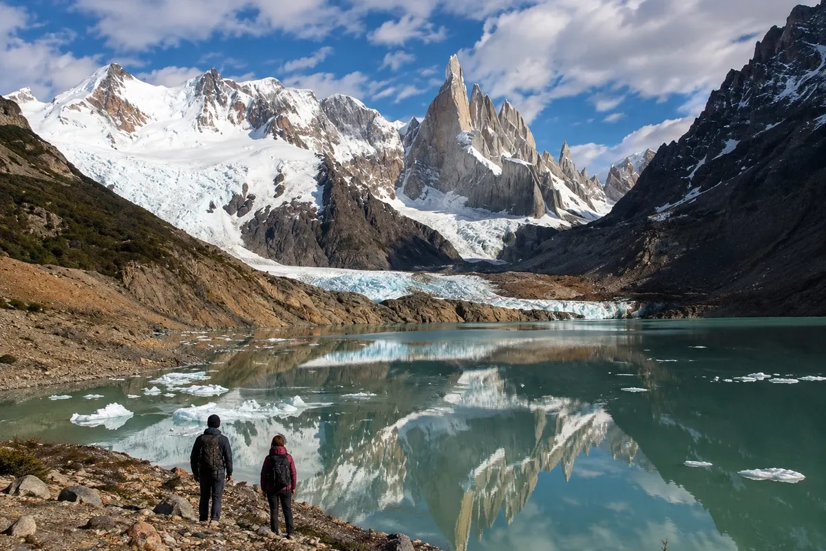
Trail · El Chaltén, Santa Cruz
Laguna Torre
Route through the valley of the río Fitz Roy to the lake in front of the Cerro Torre glacial system.
Illustrative images. The pictures in this guide are illustrations based on the real place, not photographs, and may differ from it.

Discover
About Laguna Torre
Laguna Torre lies at the end of a trail that follows the valley of the río Fitz Roy, west of El Chaltén. The route passes through forest and open sections before reaching the moraine and the lake shore. The area is in the northern sector of Parque Nacional Los Glaciares.
The route marked from town is approximately nine kilometers one-way. Laguna Torre is connected to the glacial system and to the Cerro Torre massif in the background. The visitor's position on the shore, fog and clouds change how the landscape is perceived during the visit.
Set aside the day to complete the out-and-back without adding another long trail. Between November and March daylight hours are usually longer; exposure to wind in the open parts requires appropriate clothing even in those months. Hike along the marked passages, carry your waste back out, and adjust the route length to the group's fitness.
Before you go
Practical information
Cidade Turismo reviews its information regularly, but something may have changed. Check with the place before planning your trip.
How much time to set aside
Generally, six to eight hours for outbound, stops and return, depending on conditions and pace.
Best time
The months from November to March generally favor planning a long hike. Cloud cover can obscure Cerro Torre.
How to get there
Trailheads are located in the urban area of El Chaltén. Define your starting point and follow the route indicated to Laguna Torre.
Tip
Do not confuse the one-way distance with the complete route; conserve energy and daylight for the nine-kilometer return.
Official website
Get your questions answered
Frequently asked questions about Laguna Torre
What is the distance of the trail to Laguna Torre?
The main route reference is about nine kilometers one way, totaling approximately eighteen kilometers.
Can I visit only the intermediate viewpoint?
It is possible to choose a return point before reaching the lake, depending on the available trail and the group's fitness.
Does the visit depend on Cerro Torre appearing?
No. The valley, forest, and lake are part of the route; visibility of the mountains depends on the day's conditions.