

 Brazil
 Chile
Chile Colombia
 Peru
Peru Uruguay
 Germany
 Belgium
 Spain
Spain France
 Greece
 the Netherlands
 Ireland
 Italy
Italy Portugal
 the United Kingdom
 Switzerland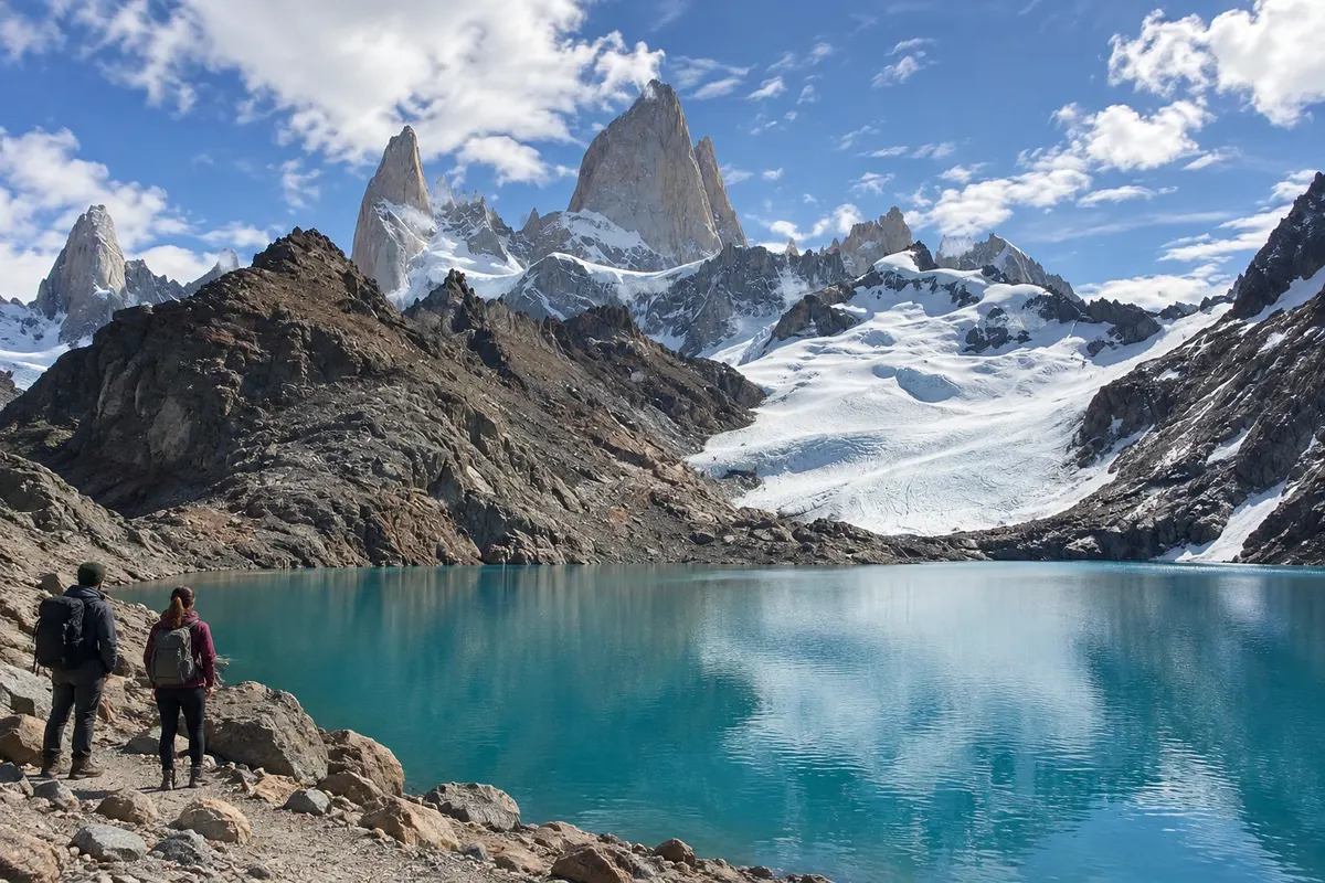
Trail · El Chaltén, Santa Cruz
Laguna de los Tres
Mountain hike to a glacial lake near the Fitz Roy massif, with a steeper climb in the final section.
Illustrative images. The pictures in this guide are illustrations based on the real place, not photographs, and may differ from it.

Discover
About Laguna de los Tres
Laguna de los Tres sits at the foot of the Fitz Roy massif, in the northern sector of Parque Nacional Los Glaciares. The route from El Chaltén crosses forest and open areas before reaching the final ascent. The lake occupies a glacial basin with rocks and moraines around it.
The main trail is roughly ten kilometers one-way, depending on the starting point. The final elevation concentrates a significant part of the effort and should not be treated as a simple extension of an urban walk. The paths around the mountain branch off, requiring a clear choice of itinerary.
Plan to spend the whole day out, with water, food, and clothing for wind and rain. From November to March the longer days usually make returning in daylight easier. The view of Fitz Roy depends on the clouds and should not be the only reason to go beyond the group's preparation; adjust the route to the terrain and local guidance.
Before you go
Practical information
Cidade Turismo reviews its information regularly, but something may have changed. Check with the place before planning your trip.
How much time to set aside
Reserve a full day; the round-trip time varies with pace, the final ascent and the terrain.
Best time
From November to March there is usually more daylight available. Check the trail before you go; the period does not rule out wind, rain or snow in the higher sections.
How to get there
The main trail starts at the northern end of El Chaltén's urban area. Other access points exist, but they require transport planning and a separate itinerary.
Tip
Use a dedicated day for this hike and consider the fatigue of the descent when deciding how far to go.
Official website
Get your questions answered
Frequently asked questions about Laguna de los Tres
Is the hike to Laguna de los Tres short?
No. The main trail adds up to roughly twenty kilometers round trip, with altitude gain and a more demanding final climb.
Is it possible to fit the trail on the bus arrival day?
The hike takes the whole day and requires preparation. It's preferable to schedule it for another day, without the pressure of arrival times.
Will I see Fitz Roy with a clear view?
Visibility depends on clouds. Choose the outing based on trail conditions, without counting on the mountain being completely exposed.