Plaža
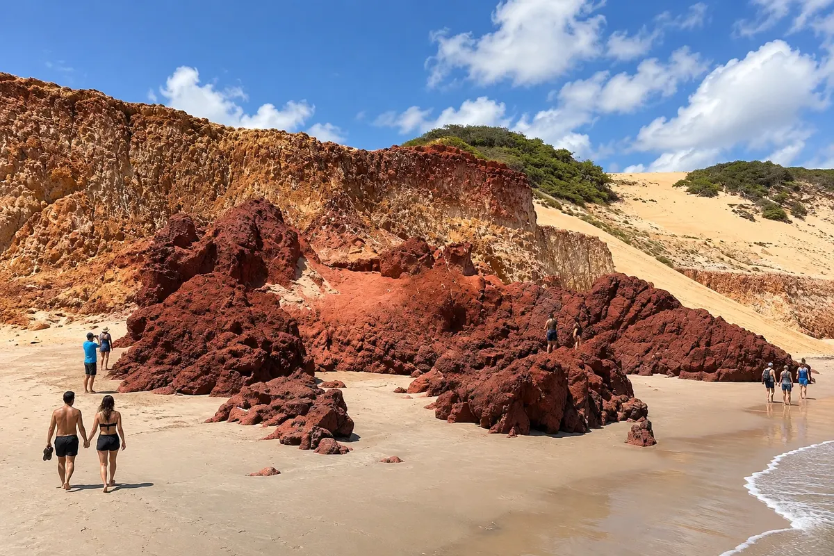
Praia de Ponta Grossa
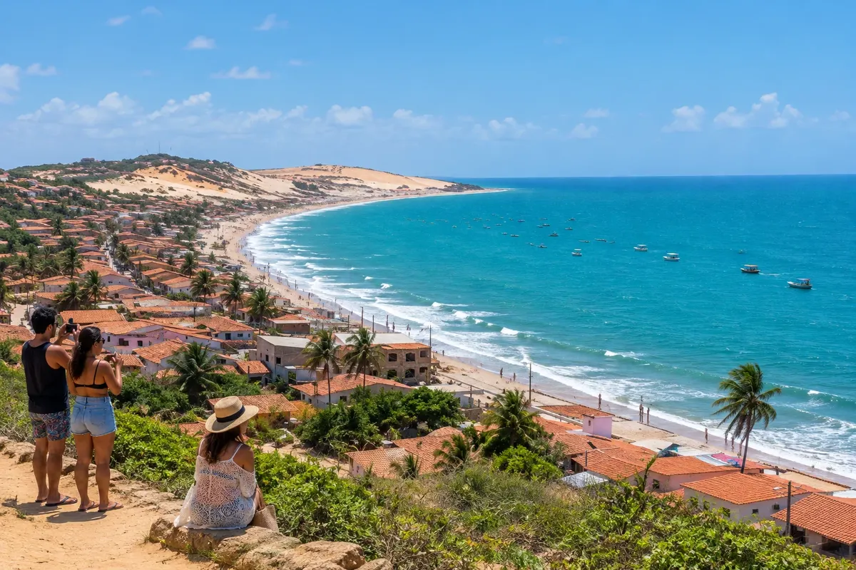
Cove of Icapuí marked by colorful cliffs, rock formations and a coastal community.
Raziščite Praia de Ponta Grossa

 Išči
Brazilija
 Antarktika
 Argentina
 Bolivija
 Čile
 Kolumbija
 Ekvator
 Gvajana
 Francoska Gvajana
 Falklandski otoki (Malvini)
 Paragvaj
 Peru
 Surinam
 Urugvaj
 Venezuela
 Nemčija
 Avstrija
 Belgija
 Hrvaška
 Danska
 Slovaška
 Slovenija
 Španija
 Finska
 Francija
 Grčija
 Nizozemska
 Madžarska
 Irska
 Islandija
 Italija
 Luksemburg
 Norveška
 Poljska
 Portugalska
 Združeno kraljestvo
 Češka
 Švedska
 Švica
 Turčija
 Bermudi
 Kanada
 Združene države Amerike
 Grenlandija
 Mehika
 Sveta Peter in Mihael
 Dominikanska republika
 JaponskaTurčija
 Južnoafriška republika
 Egipt
 Avstralija
 Fidži
 Nova Zelandija
 Papua Nova Gvineja
Ceará · Brazilija
Destinacija: East Coast of Ceará.
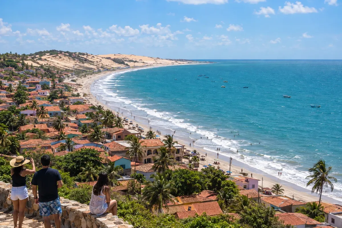
Na fotografiji: Praia de Redonda, Icapuí, Ceará
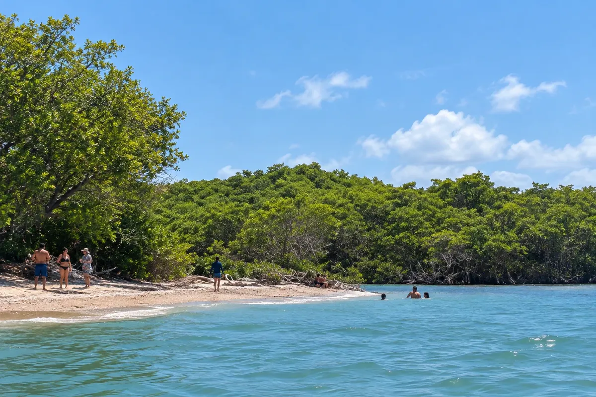
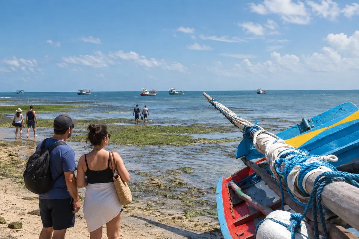
Illustrative images. The pictures in this guide are illustrations based on the real place, not photographs, and may differ from it.
Mesto
Icapuí has cliffs at Ponta Grossa and Redonda, mangroves in Requenguela and coconut groves along the coast of Tremembé. Fishing is part of life in these communities. The final stage spreads visits across different beaches, with accesses beyond the CE-261.
Icapuí – število nastanitev: 64.
Icapuí – število lokalov: 5.
kako do tja · koliko dni · načrt poti · vprašanja
Icapuí – nazivi in posebnosti
Brazilske poti
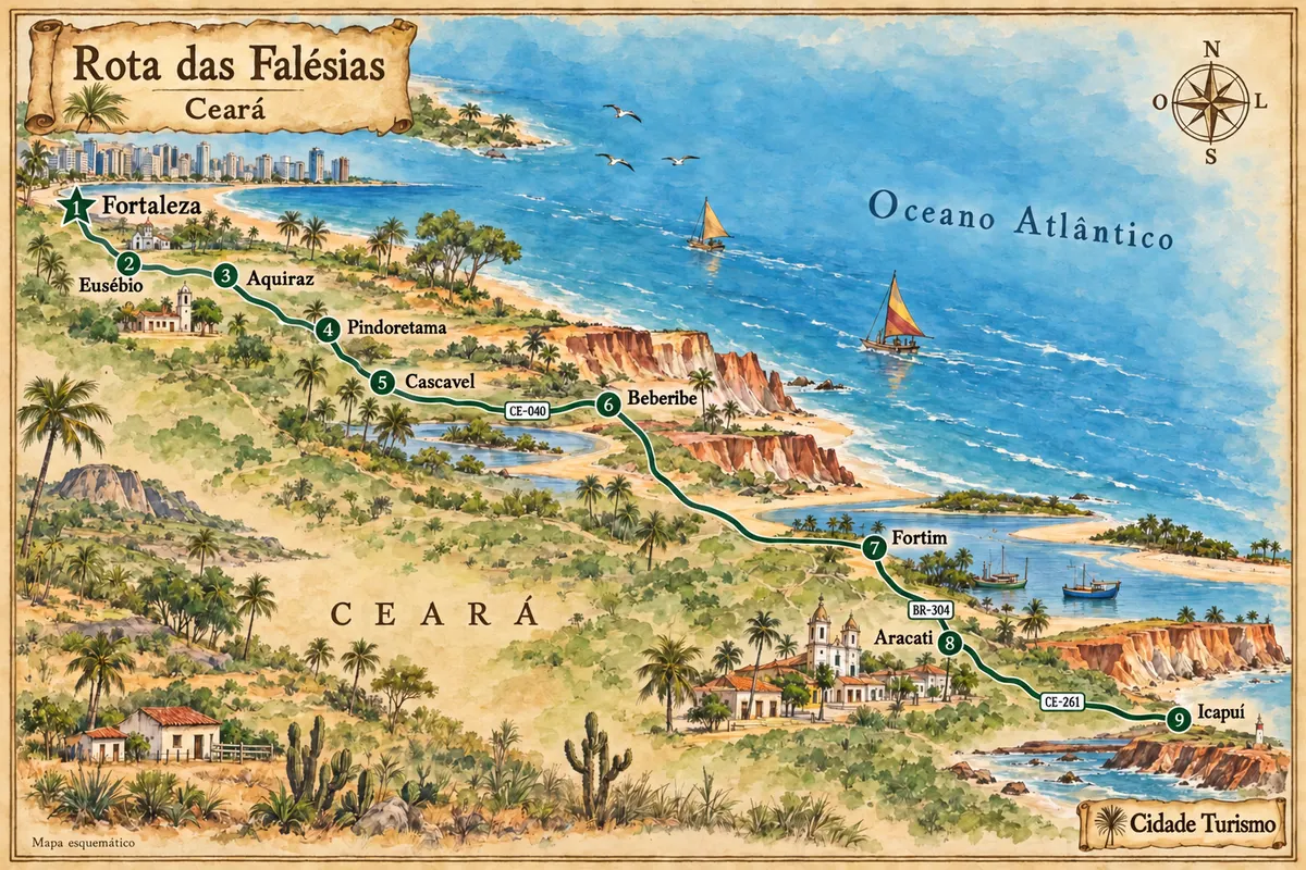
Between Fortaleza and Icapuí, the eastern coast of Ceará features cliffs, estuaries and fishing communities, with stops in the heritage sites of Aquiraz and Aracati.
Doživite kraj
Cove of Icapuí marked by colorful cliffs, rock formations and a coastal community.
Raziščite Praia de Ponta Grossa
Cove of Icapuí protected by a rocky point, with cliffs and a fishing community by the sea.
Mangrove and channel landscape on Icapuí's coast, different from the municipality's cliff coves.
Raziščite Praia de Requenguela
Coastal sector of Icapuí with coconut groves, the Serra dos Cajuais in the landscape, and fishing activity present.
Pred odhodom
Icapuí – CE Destinacija East Coast of Ceará
From Aracati, the road route combines the BR-304 and the CE-261. Redonda, Ponta Grossa, Requenguela and Tremembé are reached via branches and local roads; decide on the destination community before traveling.
Three days help distribute visits among the coves of cliffs, the mangrove landscape and the coast of Tremembé. On a short stop, choose one sector of the coast to reduce back-and-forth travel.
From August to December rainfall usually decreases; February to May is the rainiest period in the region. The channels of Requenguela and the sand strips of the coves change with the tides.
The seasons shown are the most usual ones; nature doesn't always follow the calendar.
The beaches are spread across different communities along the coast. A car or prearranged transport makes visits easier; walking within one cove does not replace the road connection to the others.
Predlog poti
Pot povezuje znamenitosti na tej strani. Za oglede boste imeli dovolj časa.
Dan 1
Visit the community waterfront and view the cove from public spaces.
Arrange access to the cliff beach and avoid passages along the base of the slopes without guidance.
Dan 2
Observe the mangrove environment from the shore and via authorized access points, without assuming entry into environmental facilities.
Dan 3
Reserve the final stage for the coast of coconut groves and the fishing-related landscape.
Check before you go. Opening hours and days change, and places may close for renovations, holidays or events. This itinerary is a suggestion from Cidade Turismo, not a commitment: plan yours by checking directly with each place you intend to visit.
Pred odhodom
Redonda, Ponta Grossa, Requenguela and Tremembé are different communities. Choose accommodation based on the beaches you plan to visit and the transport between them.
The mangrove and channel environment is part of Requenguela's landscape. Use the shorelines and authorized access points; environmental facilities have their own rules.
Check local guidance and the tide before choosing a section. Do not climb the slopes or remove sediments from the formations.
Talk in advance with the operator about the route, boarding and the day's conditions. The land visit to the communities is independent from taking the boat tour.
Več kot vodnik