Plaža
Praia da Caponga
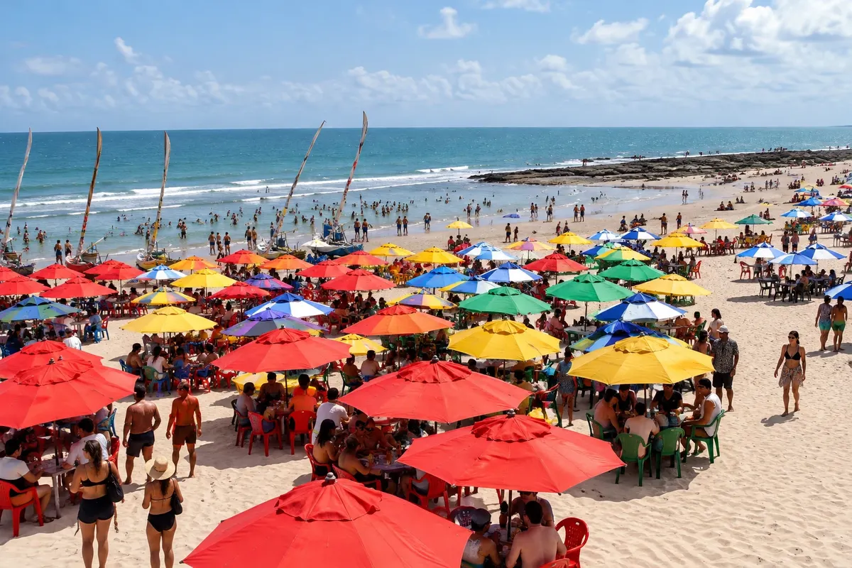
Fishing community and Cascavel shoreline, with jangadas (traditional fishing rafts) and an urban core next to the stretch of sand.

 Išči
Brazilija
 Antarktika
 Argentina
 Bolivija
 Čile
 Kolumbija
 Ekvator
 Gvajana
 Francoska Gvajana
 Falklandski otoki (Malvini)
 Paragvaj
 Peru
 Surinam
 Urugvaj
 Venezuela
 Nemčija
 Avstrija
 Belgija
 Hrvaška
 Danska
 Slovaška
 Slovenija
 Španija
 Finska
 Francija
 Grčija
 Nizozemska
 Madžarska
 Irska
 Islandija
 Italija
 Luksemburg
 Norveška
 Poljska
 Portugalska
 Združeno kraljestvo
 Češka
 Švedska
 Švica
 Turčija
 Bermudi
 Kanada
 Združene države Amerike
 Grenlandija
 Mehika
 Sveta Peter in Mihael
 Dominikanska republika
 JaponskaTurčija
 Južnoafriška republika
 Egipt
 Avstralija
 Fidži
 Nova Zelandija
 Papua Nova Gvineja
Ceará · Brazilija
Destinacija: East Coast of Ceará.
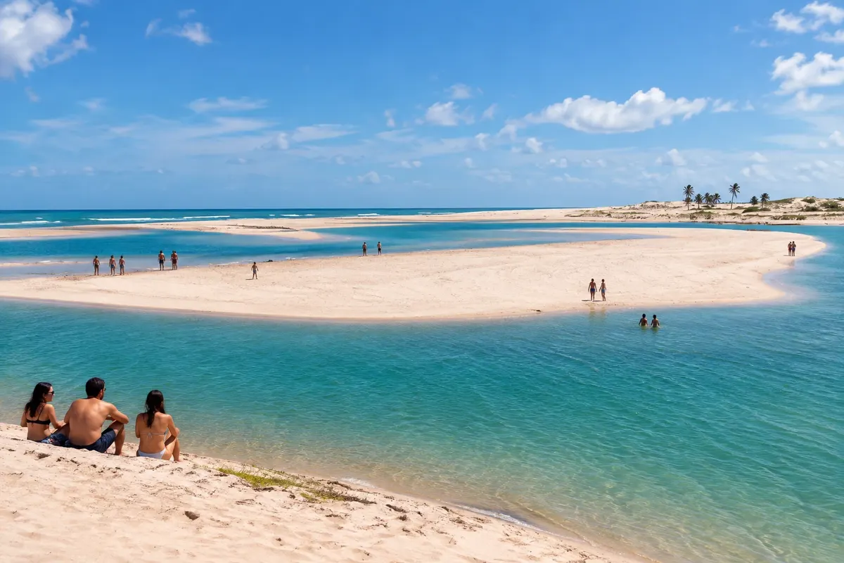
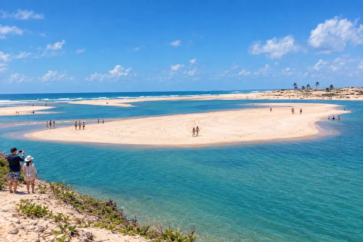
Na fotografiji: Águas Belas Beach, Cascavel, Ceará
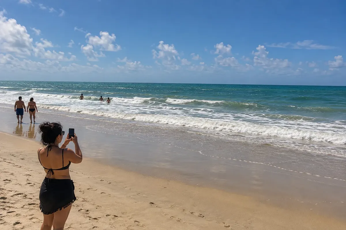
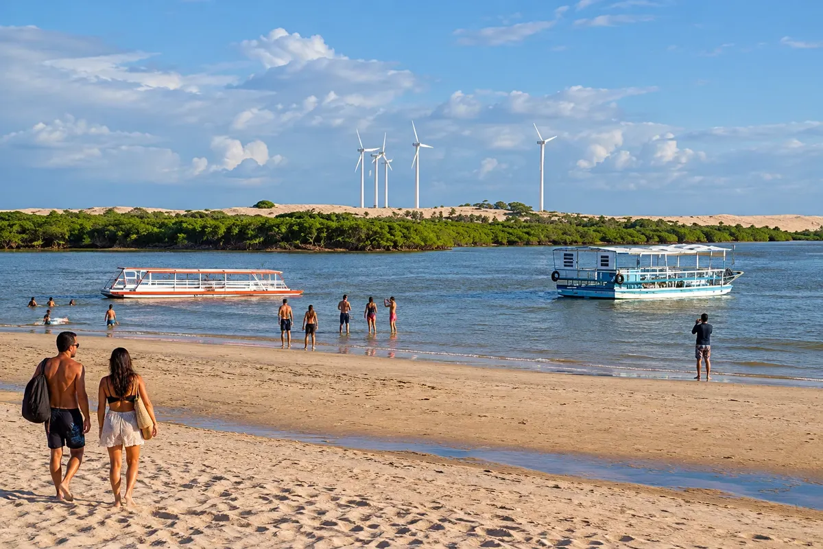
Illustrative images. The pictures in this guide are illustrations based on the real place, not photographs, and may differ from it.
Mesto
Cascavel brings together Caponga and Águas Belas, where the Rio Mal Cozinhado meets the coastline. Barra Nova is related to the mouth of the Rio Choró, and Balbino retains a fishing settlement. The route leaves the CE-040 corridor to reach these communities.
Cascavel – število nastanitev: 65.
Cascavel – število lokalov: 12.
kako do tja · koliko dni · načrt poti · vprašanja
Brazilske poti
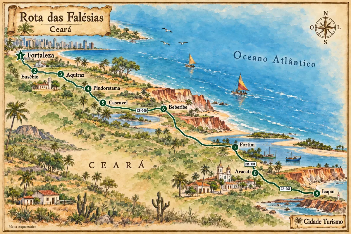
Between Fortaleza and Icapuí, the eastern coast of Ceará features cliffs, estuaries and fishing communities, with stops in the heritage sites of Aquiraz and Aracati.
Doživite kraj
Fishing community and Cascavel shoreline, with jangadas (traditional fishing rafts) and an urban core next to the stretch of sand.
Beach and estuary landscape associated with the meeting of the Rio Mal Cozinhado with the coast of Cascavel.
Raziščite Praia de Águas Belas
Coastal settlement of Cascavel connected to fishing, with a beach and dune scenery nearby.
Beach connected to the estuary of the Rio Choró, with channels, sandbars and fishing activity on the coast of Cascavel.
Pred odhodom
Cascavel – CE Destinacija East Coast of Ceará
From the CE-040, follow the road access to the communities of Caponga, Águas Belas, Balbino and Barra Nova. The entrance to one beach does not necessarily serve another; check the locality where you intend to stay.
Two to three days allow you to spread visits across the four coastal communities. Reserve one stage for Caponga and Águas Belas and another for Balbino or Barra Nova, avoiding concentrating all transfers in a few hours.
From August to December there is generally less rain for coastal walks. Rain is more common from February to May. The meeting of the rivers with the sea and the sandbanks change with the tide.
The seasons shown are the most usual ones; nature doesn't always follow the calendar.
A vehicle or hired transport makes it easier to visit beaches in different settlements. Caponga and Águas Belas allow local walks, but Barra Nova and Balbino require planned travel.
Predlog poti
Pot povezuje znamenitosti na tej strani. Za oglede boste imeli dovolj časa.
Dan 1
Walk through the fishing settlement and observe the relationship between the beach and the community.
Discover the landscape where the Rio Mal Cozinhado meets the coast, respecting permitted access points and the tide.
Dan 2
Choose the public paths of the village and the beach; fishing areas and dunes require local guidance.
Plan the trip to the estuary to observe the transition between the river environment and the sea.
Check before you go. Opening hours and days change, and places may close for renovations, holidays or events. This itinerary is a suggestion from Cidade Turismo, not a commitment: plan yours by checking directly with each place you intend to visit.
Pred odhodom
Águas Belas brings together that landscape. Sandbanks and channels change with the tide; observation should follow permitted access routes.
They are different coastal localities. Plan the road transfer between them and choose your lodging base according to the beach you want.
The visit can include the community and the beach via public spaces. Seek guidance on paths and local activities before entering dunes or fishing areas.
The main connection between stages is made by roads and local access routes. Crossings and hired excursions have their own logistics and should be arranged separately.
Več kot vodnik