

 Antarktika
 Argentina
 Bolivija
 Čile
 Kolumbija
 Ekvator
 Gvajana
 Francoska Gvajana
 Falklandski otoki (Malvini)
 Paragvaj
 Peru
 Surinam
 Urugvaj
 Venezuela
 Nemčija
 Avstrija
 Belgija
 Hrvaška
 Danska
 Slovaška
 Slovenija
 Španija
 Finska
 Francija
 Grčija
 Nizozemska
 Madžarska
 Irska
 Islandija
 Italija
 Luksemburg
 Norveška
 Poljska
 Portugalska
 Združeno kraljestvo
 Češka
 Švedska
 Švica
 Turčija
 Bermudi
 Kanada
 Združene države Amerike
 Grenlandija
 Mehika
 Sveta Peter in Mihael
 Dominikanska republika
 Japonska
 Južnoafriška republika
 Egipt
 Avstralija
 Fidži
 Nova Zelandija
 Papua Nova Gvineja
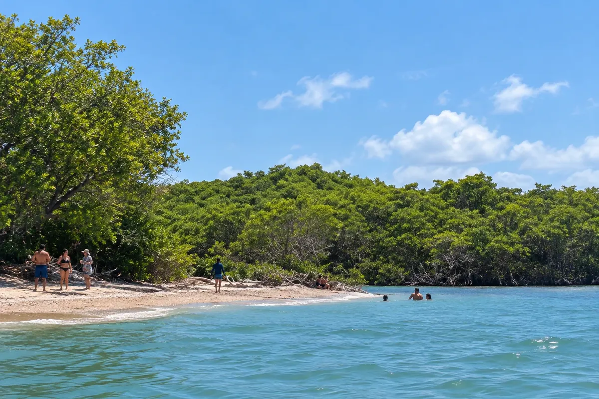
Plaža · Icapuí, CE
Praia de Requenguela
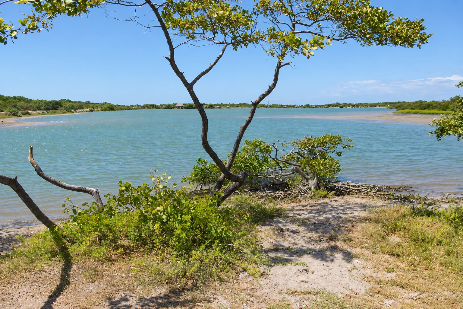
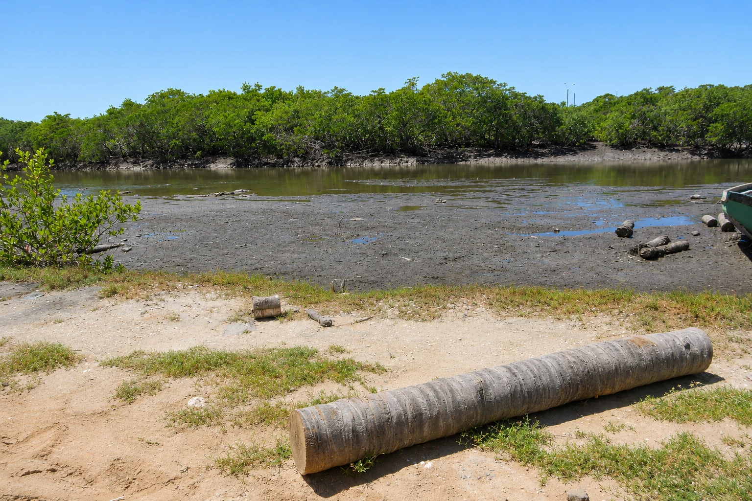
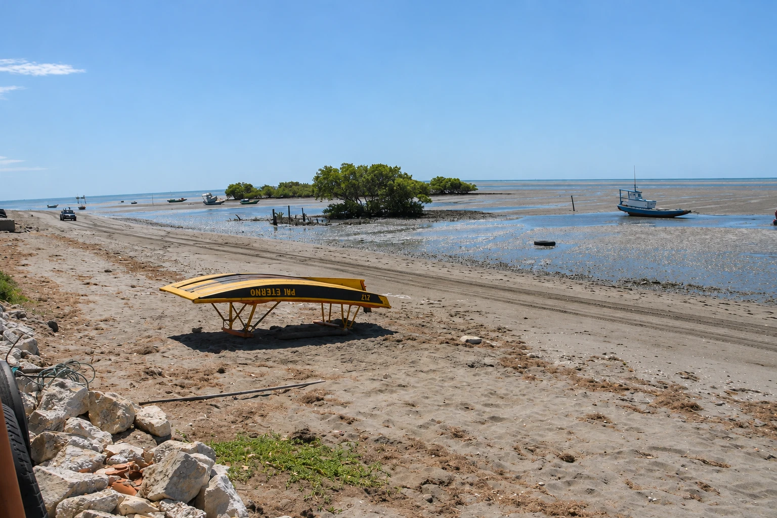
Mangrove and channel landscape on Icapuí's coast, different from the municipality's cliff coves.
Illustrative images. The pictures in this guide are illustrations based on the real place, not photographs, and may differ from it.


Pogled na kraj
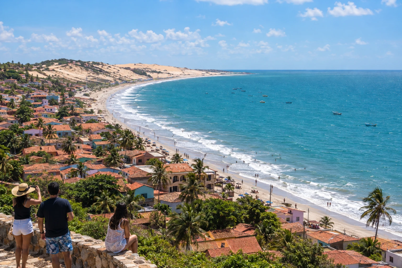
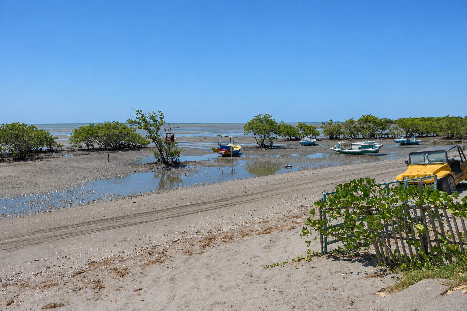
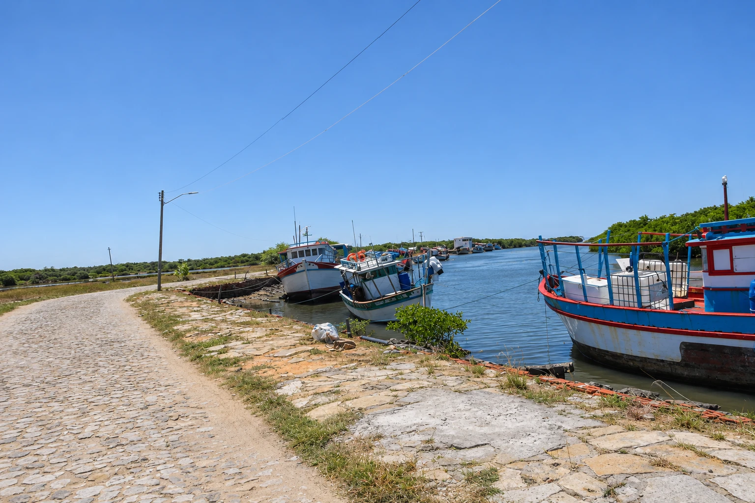
Praia de Requenguela v slikah
These pictures are illustrations based on the real place, not photographs. They may differ from the place.
Kliknite fotografijo za povečavo.
Spoznajte
O znamenitosti Praia de Requenguela
At Praia de Requenguela, the mangrove directly shapes the coastal landscape of Icapuí. The channels and shorelines present an environment different from the cliffs of Ponta Grossa and Redonda. The tide changes the water surface and exposed areas, so it is useful to plan the timing of observations before setting out. Land visits should use only authorized entry points and sections, preserving mangrove roots and vegetation. Environmental education facilities and structures over the mangrove have their own opening hours and rules; knowing the beach does not mean having access to all of them. Do not go onto boardwalks or paths without confirming authorization. For a boat trip, arrange the route with the operator and follow their guidance on navigation in the channels. Arrival to the community uses Icapuí's local roads. Allow time to observe this coastal environment without removing plants or feeding animals.
Pred odhodom
Praktične informacije
Cidade Turismo reviews its information regularly, but something may have changed. Check with the place before planning your trip.
Koliko časa si vzemite
About 1 hour to observe the mangrove environment.
Najboljši čas
Choose the timing according to the tide and the desired observation point.
Kako do tja
Arrive at Requenguela via Icapuí's local access and use the observation points that are open.
Nasvet
Preserve the mangrove roots and confirm authorization for structures before entering.
Uradno spletno mesto
Odgovori na vaša vprašanja
Pogosta vprašanja – Praia de Requenguela
Are there cliffs like in Redonda?
The mangrove and channels distinguish Requenguela's landscape. The visit has characteristics different from the cliffed coves.
Can I enter any mangrove boardwalk?
Authorization for structures and equipment must be confirmed with the person in charge. Use only authorized access points.
Does the tide change the observation of the channels?
Yes. Water and exposed banks change over the tidal cycle; check conditions for the desired excursion.
Več kot vodnik


