Conservation unit
Monumento Natural das Falésias de Beberibe
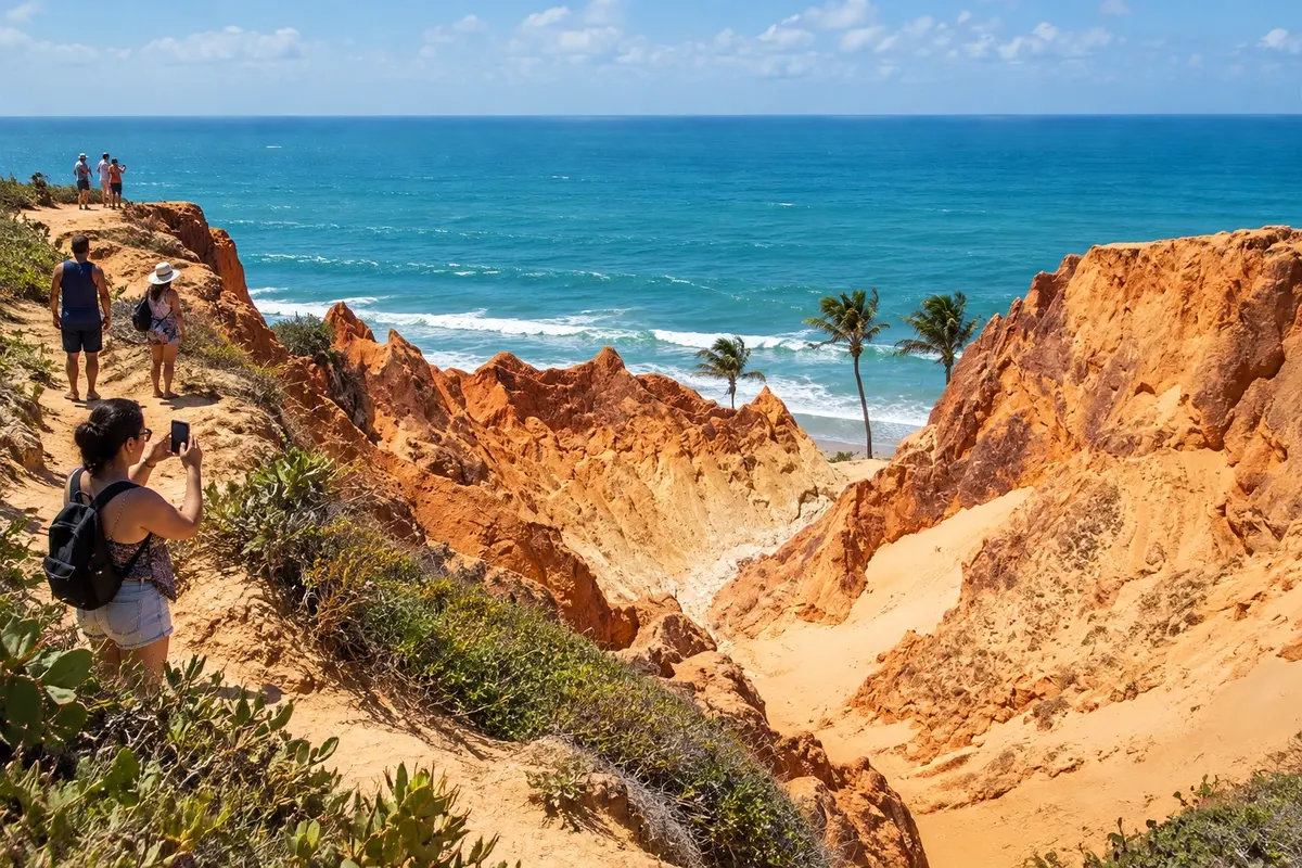
Protected area next to Morro Branco, with sediment walls and paths that reveal the colors of the cliffs.
Raziščite Monumento Natural das Falésias de Beberibe

 Išči
Brazilija
 Antarktika
 Argentina
 Bolivija
 Čile
 Kolumbija
 Ekvator
 Gvajana
 Francoska Gvajana
 Falklandski otoki (Malvini)
 Paragvaj
 Peru
 Surinam
 Urugvaj
 Venezuela
 Nemčija
 Avstrija
 Belgija
 Hrvaška
 Danska
 Slovaška
 Slovenija
 Španija
 Finska
 Francija
 Grčija
 Nizozemska
 Madžarska
 Irska
 Islandija
 Italija
 Luksemburg
 Norveška
 Poljska
 Portugalska
 Združeno kraljestvo
 Češka
 Švedska
 Švica
 Turčija
 Bermudi
 Kanada
 Združene države Amerike
 Grenlandija
 Mehika
 Sveta Peter in Mihael
 Dominikanska republika
 JaponskaTurčija
 Južnoafriška republika
 Egipt
 Avstralija
 Fidži
 Nova Zelandija
 Papua Nova Gvineja
Ceará · Brazilija
Destinacija: East Coast of Ceará.
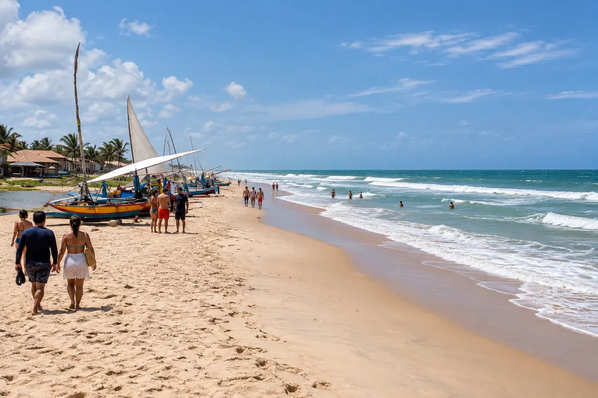
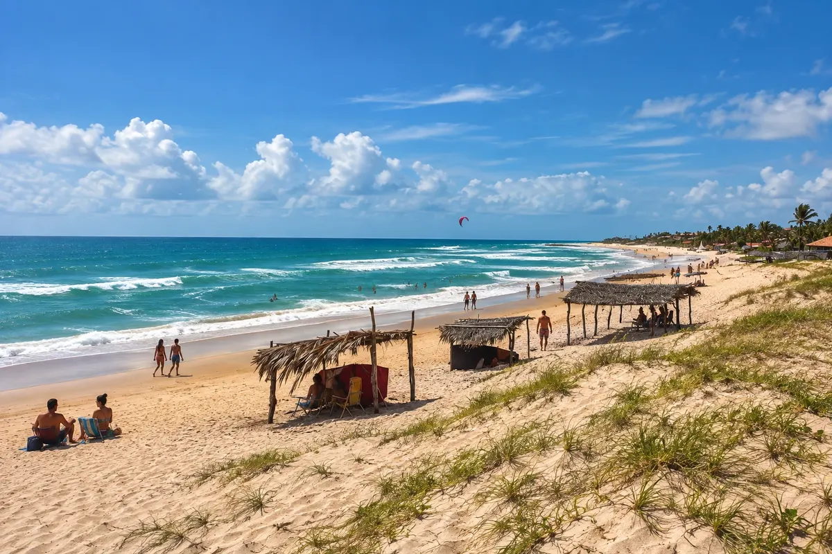
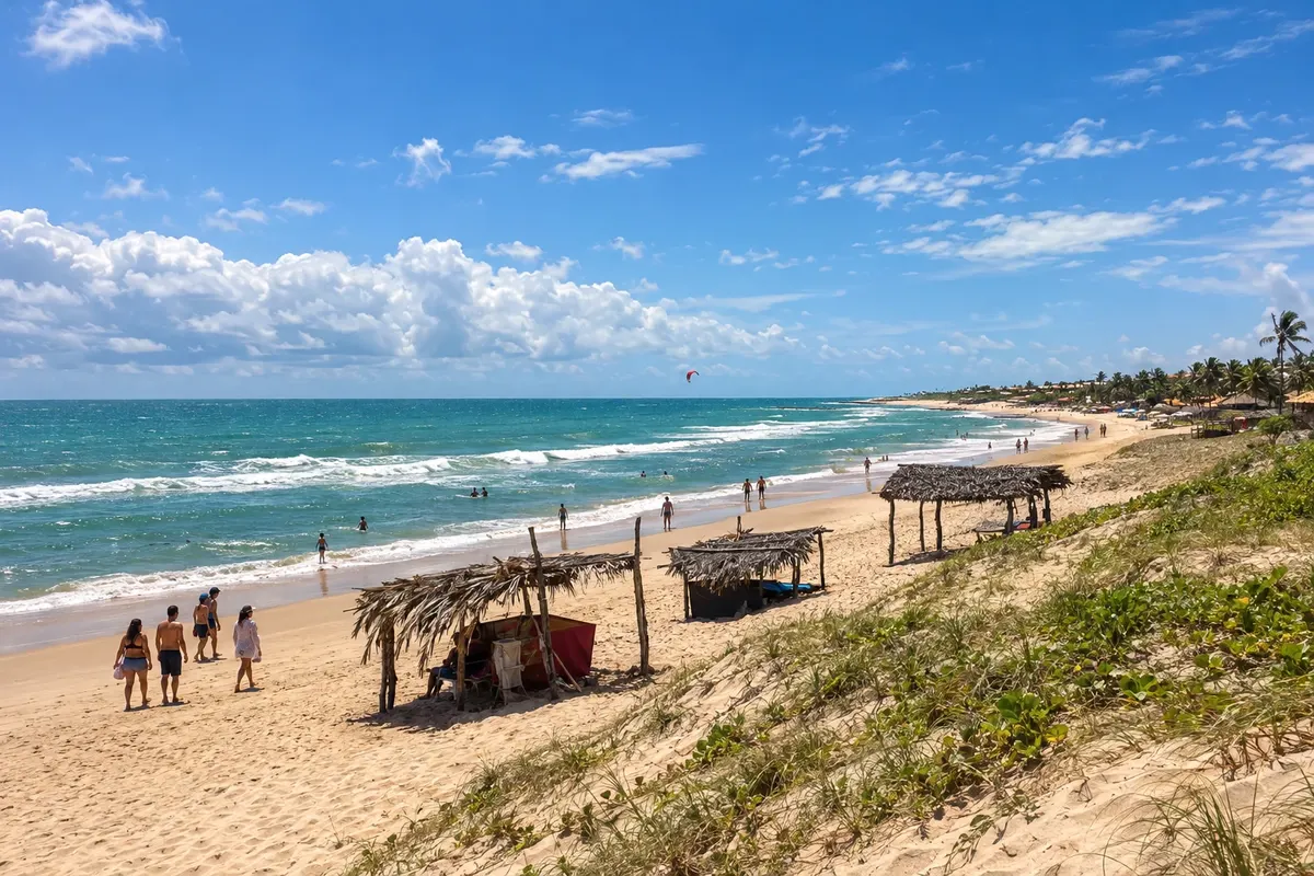
Na fotografiji: Praia de Uruaú, Beberibe, Ceará
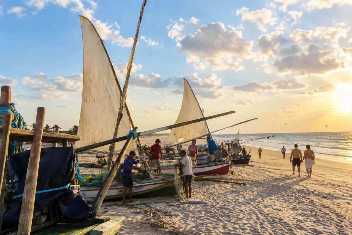
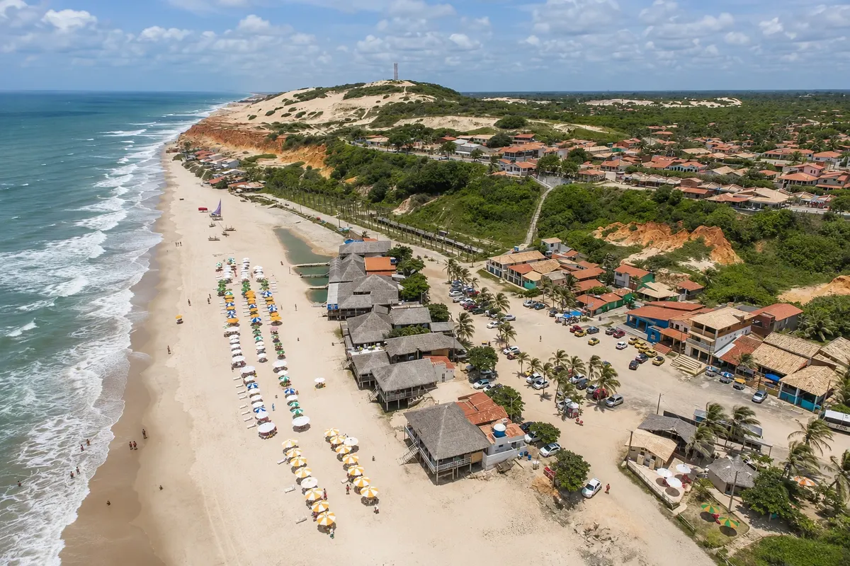
Illustrative images. The pictures in this guide are illustrations based on the real place, not photographs, and may differ from it.
Mesto
Beberibe brings together the Monumento Natural das Falésias alongside Morro Branco and Praia das Fontes. Uruaú and Parajuru add other coastal nuclei. The paths between sediment cliffs are part of a protected area and visitors must follow the visitation rules.
Beberibe – število nastanitev: 62.
Beberibe – v vodniku je 1 lokal.
kako do tja · koliko dni · načrt poti · vprašanja
Doživite kraj
Protected area next to Morro Branco, with sediment walls and paths that reveal the colors of the cliffs.
Raziščite Monumento Natural das Falésias de Beberibe
Coastal stretch of Beberibe associated with cliffs and water springs that are part of the landscape by the beach.
Coastal community of Beberibe with an ocean beach, dunes and a seaside nucleus distinct from the lagoon of the same name.
Beach of a fishing community on the coast of Beberibe, with boats and its own coastal scenery.
The beach of the village of Morro Branco, in Beberibe, with cliffs of colored sands, the maze between the rock walls, and the craftwork of colored sand bottles.
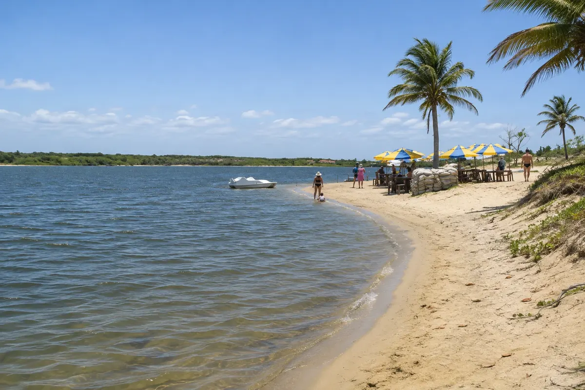
Large freshwater lagoon among dunes in Beberibe, protected as an environmental protection area, offering swimming, kayaking, motorboat, jet ski and kitesurfing.
Pred odhodom
Beberibe – CE Destinacija East Coast of Ceará
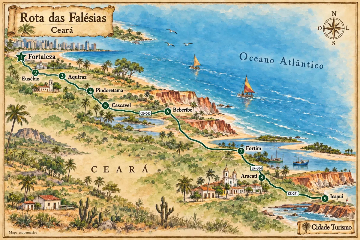
The CE-040 is the arrival corridor to Beberibe. Morro Branco, Praia das Fontes, Uruaú and Parajuru have coastal entrances; passing through the headquarters does not replace access to the chosen beach.
Set aside two or three days for the cliffs and the coastal communities. Morro Branco and Praia das Fontes can take up the start of the visit, leaving another day for Uruaú or Parajuru.
August to December usually has less rain, while February to May concentrates the rainy season. For paths on the cliffs, check the forecast; by the sea, the tide determines the conditions for passage.
The seasons shown are the most usual ones; nature doesn't always follow the calendar.
The link between Morro Branco, Fontes, Uruaú and Parajuru requires a vehicle or combined transport. Inside the Monumento, walk only on authorized paths.
Predlog poti
Pot povezuje znamenitosti na tej strani. Za oglede boste imeli dovolj časa.
Dan 1
Choose the permitted route in Morro Branco and confirm the driving instructions.
Observe the coastal formations from authorized access points, checking the tide before any passage close to the cliffs.
Dan 2
Visit the seaside nucleus of Uruaú; the beach and the lagoon are distinct environments with their own access routes.
Get to know the fishing community and its waterfront, allowing time for return transport.
Check before you go. Opening hours and days change, and places may close for renovations, holidays or events. This itinerary is a suggestion from Cidade Turismo, not a commitment: plan yours by checking directly with each place you intend to visit.
Pred odhodom
The Monumento is a protected area. Use authorized paths and check the visitation and conduct rules before starting the route.
The flow depends on natural conditions. Praia das Fontes can be experienced for its coastal landscape without assuming water is available at every point.
They are other coastal nuclei of Beberibe. Arrange transport between the communities instead of planning a continuous walk along the beach.
The contracted activity and the walk within the unit have their own organization. Check the permitted route with the person responsible for each tour.
Brazilske poti
Between Fortaleza and Icapuí, the eastern coast of Ceará features cliffs, estuaries and fishing communities, with stops in the heritage sites of Aquiraz and Aracati.
Več kot vodnik