Morro Grande

Saint Catherine · Brazilija

Morro Grande

Destinacija: Caminho dos Cânions.

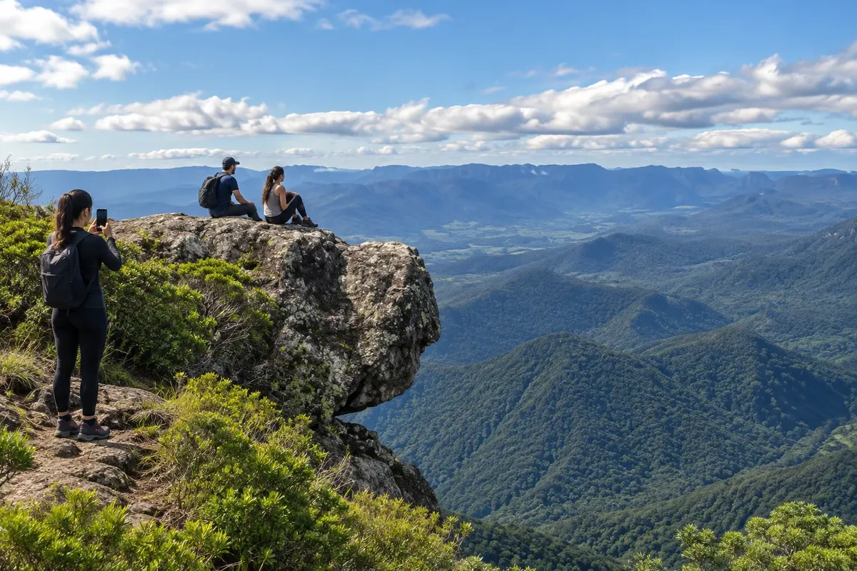
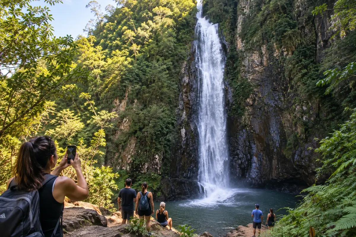
Na fotografiji: Landscape of Morro Grande.

Illustrative images. The pictures in this guide are illustrations based on the real place, not photographs, and may differ from it.

Na voljo v trgovini Google Play Pošljite svoje fotografije

Mesto

Kaj lahko pričakujete – Morro Grande.

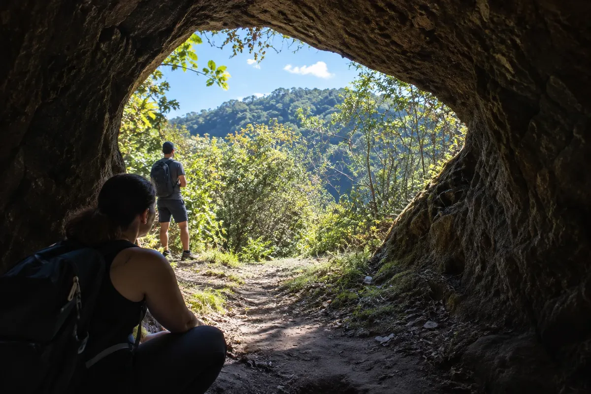
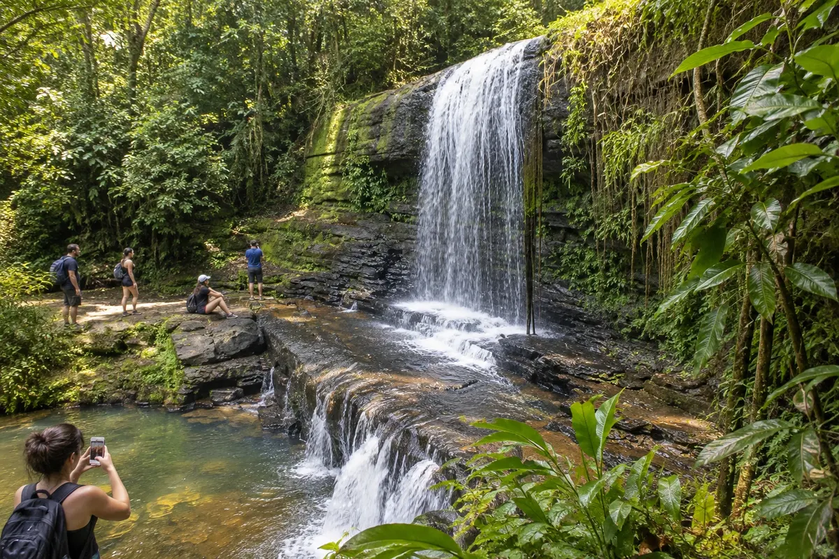
Morro Grande brings together paleotocas carved into the sandstone and waterfalls of the Serra Geral. In the community of Três Barras, the Cachoeira do Bizungo exposes the contact between sandstone and basalt; the paleotocas reveal tunnels made by megafauna. The Trilha do Realengo follows routes used by drovers to the upper part of the range, with a hike that requires preparation.

Delite: WhatsApp

Kje prenočiti

Morro Grande – število nastanitev: 4.

Kje jesti

V vodniku še ni restavracij – Morro Grande.

Poznate dobro možnost? Priporočite nam jo

Vaše potovanje

kako do tja · koliko dni · načrt poti · vprašanja

Morro Grande – nazivi in posebnosti

Geopark (UNESCO)

Doživite kraj

Morro Grande: kaj si ogledati

Waterfalls

Cachoeira do Bizungo

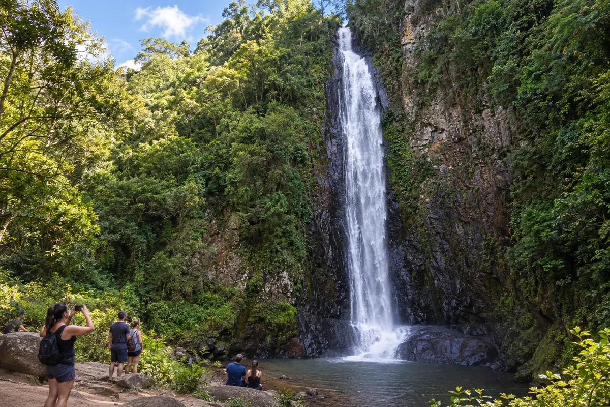
In the locality of Três Barras, the Cachoeira do Bizungo features a drop before a rock face. The site allows observation of the contact between the sandstone of the Formação Botucatu and the basalts of the Serra Geral.

Raziščite Cachoeira do Bizungo

Trails

Morro do Realengo

Realengo is reached by a trail that starts in the Três Barras region and follows an old drovers' road. In the upper part is the Pedra Cabeça do Urso, a formation known for the shape of its profile.

Raziščite Morro do Realengo

Pred odhodom

Vaše potovanje – Morro Grande

Morro Grande – SC Destinacija Caminho dos Cânions

Kako do tja

Road access to the headquarters follows SC-447. For Três Barras and the start of the Trilha do Realengo, confirm the rural roads and meet the guide/driver at the agreed point.

Koliko dni

Allow two days for the Cachoeira do Bizungo and the paleotocas. Realengo deserves an additional day trip, planned according to the hike and return logistics.

Kdaj se odpraviti

Visiting the paleotocas depends on authorized access and trail conditions. For Bizungo and Realengo, a forecast without heavy rain makes organizing the outing easier.

The seasons shown are the most usual ones; nature doesn't always follow the calendar.

Ali potrebujete avto?

A vehicle is useful between the headquarters and Três Barras. Within the properties and on the trails, follow local accompaniment; road transport does not reach the top of Realengo.

Predlog poti

Predlagani vrstni red ogledov

Pot povezuje znamenitosti na tej strani. Za oglede boste imeli dovolj časa.

2 dni – Morro Grande

Dan 1

  1. Ves dan
    Waterfall and rocks of Três Barras

    Schedule the Cachoeira do Bizungo with a local guide. Observe the fall and the layers of the rock face; the hike and the visit must fit within the time agreed with the person in charge.

Dan 2

  1. Ves dan
    Megafauna galleries

    Visit the paleotocas with the owners' authorization and with accredited accompaniment. Preserve the sandstone walls and the markings observed in the tunnels; do not touch or collect materials.

Check before you go. Opening hours and days change, and places may close for renovations, holidays or events. This itinerary is a suggestion from Cidade Turismo, not a commitment: plan yours by checking directly with each place you intend to visit.

Pred odhodom

Pogosta vprašanja

Why visit Morro Grande?

The paleotocas and the Cachoeira do Bizungo present different parts of the local geological history. The municipality also preserves walking paths in the Realengo area.

Who accompanies the visit to the paleotocas?

Municipal guidance is to visit with guides accredited in local tourism. Access crosses private property and requires authorization.

What can be observed on the Bizungo rock face?

The waterfall allows recognition of the contact between the sandstone of the Formação Botucatu and the basalts of the Serra Geral, as well as the trail vegetation.

Is the Cachoeira Toca do Tatu the paleotoca?

No. The Cachoeira Toca do Tatu is a set of falls near Três Barras; the paleotocas are tunnels excavated in the rock by extinct animals.

How to include Realengo?

The trail starts from the Três Barras region and climbs via an old drovers' route. Talk with a guide/driver about preparation, duration and return before adding it to your trip.

Delite svoja popotniška doživetja s fotografijami Pošljite fotografije vsakega kraja, ki ste ga obiskali. Največje število fotografij na kraj: 5.

Brazilske poti

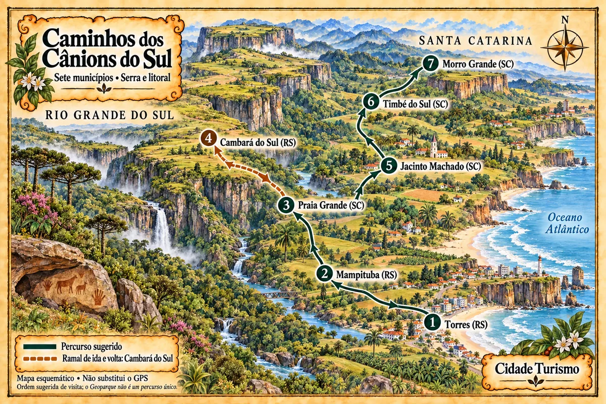
Morro Grande – del poti z imenom Caminhos dos Cânions do Sul (Paths of the Southern Canyons)

Seven municipalities between the coast and the Serra Geral, with canyons, waterfalls, paleotocas and rural roads within the Geopark territory.

Zemljevid je ilustrativen in ni v merilu. Dotaknite se mesta, da odprete njegovo stran.
Caminhos dos Cânions do Sul (Paths of the Southern Canyons) – ilustrirani zemljevid
Več o poti – Caminhos dos Cânions do Sul (Paths of the Southern Canyons)
Ogled destinacije Caminho dos Cânions Poiščite drugo mesto

Več kot vodnik