Cambará do Sul

Rio Grande do Sul · Brazilija

Cambará do Sul

Destinacija: Serra Gaúcha.

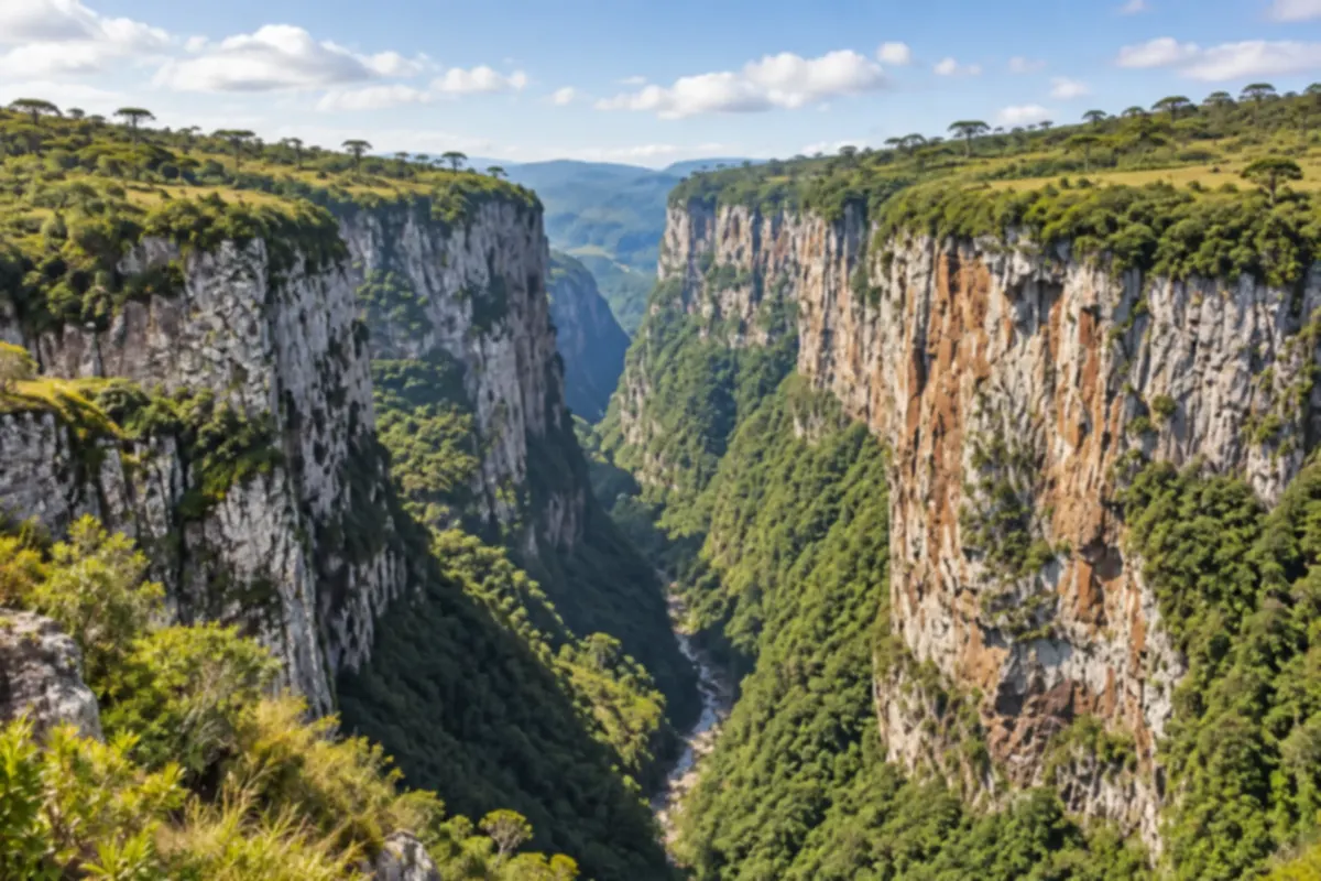
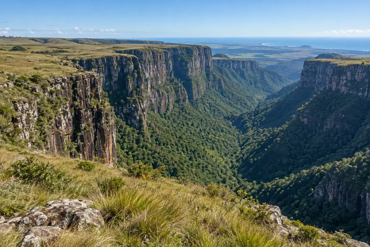
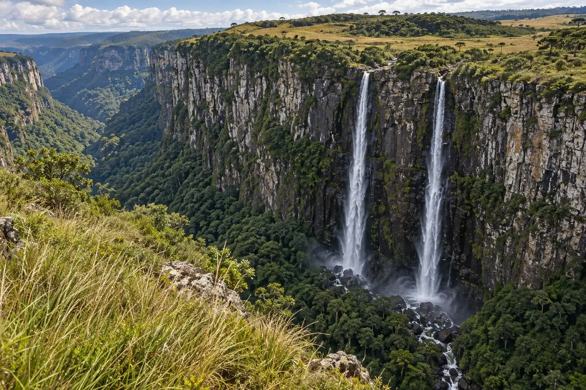
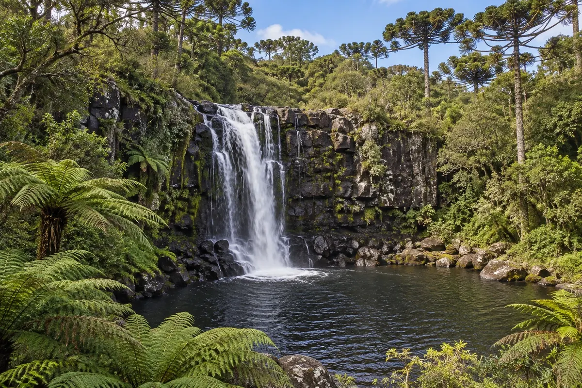
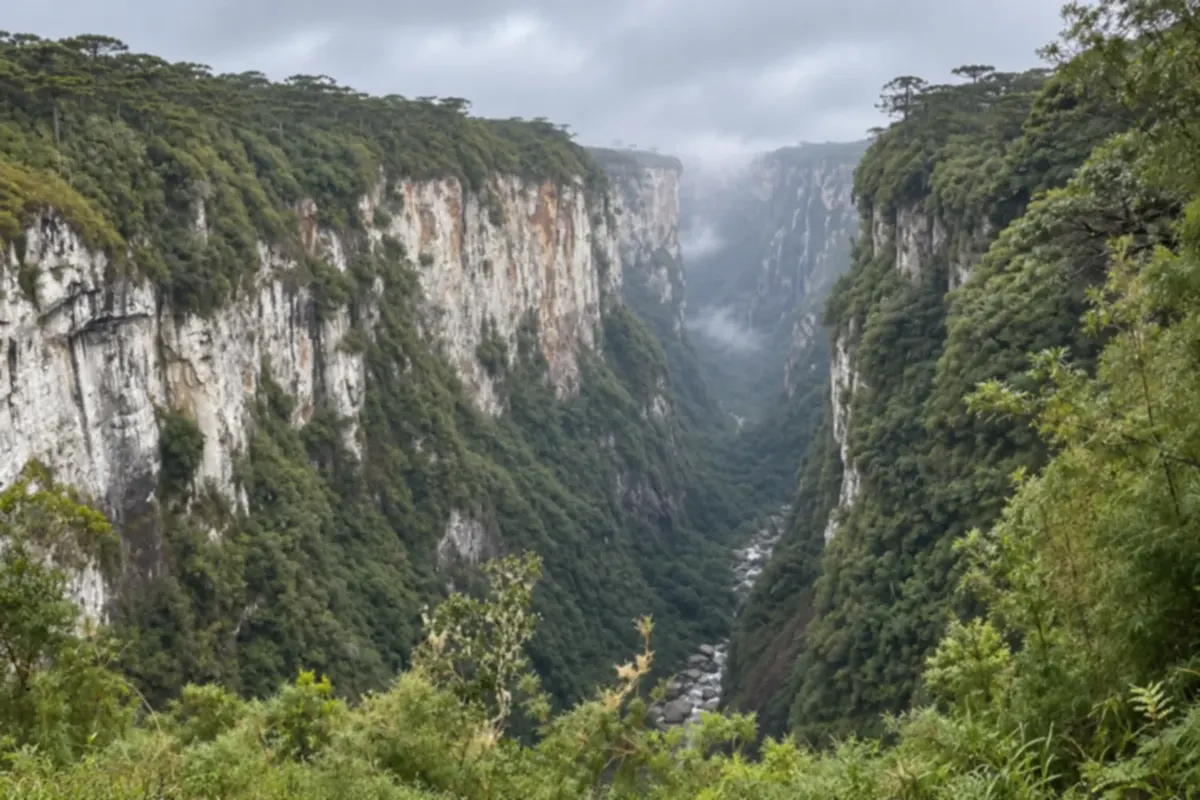
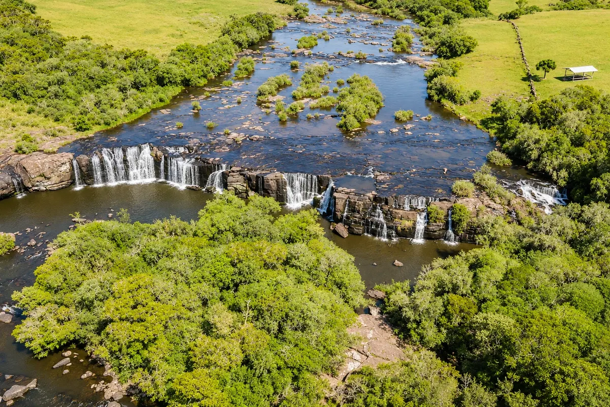
Illustrative images. The pictures in this guide are illustrations based on the real place, not photographs, and may differ from it.

Na voljo v trgovini Google Play Pošljite svoje fotografije

Mesto

Kaj lahko pričakujete – Cambará do Sul.

Cambará do Sul lies in the Campos de Cima da Serra highlands, next to the canyons of the Serra Geral. You can hike trails in the national parks and see rock walls, grasslands and araucaria forests.

Cambará do Sul is in the Campos de Cima da Serra, in the northeast of Rio Grande do Sul, at about 1,000 meters above sea level and roughly 190 km from Porto Alegre. It’s the canyon town: a few kilometers from the center the plateau of grasslands and araucárias abruptly ends in rock cliffs at the edge of the Serra Geral, from where on clear days you can see the coastal plain.

The town is small. Everything is organized around Praça São José, where the São José Mother Church, with a 32-meter tower, and a specimen of the tree that gave the place its name are located. Cambará is a word of Tupi–Guarani origin, translated as “rough-barked leaf.” The tower clock also shows the temperature, and in winter it becomes a stopping point for people who want to record the cold. Near the square, a two-story wooden manor houses the Irmã Tarcila Afonso Museum, with objects donated by residents.

What brings travelers is outside the town. Itaimbezinho Canyon, in the Aparados da Serra National Park, is 18 km from the center on a dirt road; Fortaleza Canyon, in the Serra Geral National Park, is about 23 km away. At Itaimbezinho, flat trails lead to viewpoints over a nearly 6 km-long fissure about 700 meters deep, with two waterfalls that plunge at the canyon’s head. At Fortaleza, more open and with less infrastructure, a climb leads to the top of the cliff and another trail goes to Tigre Preto Waterfall and Pedra do Segredo. A single ticket is valid for both parks.

There is more to see beyond the two canyons. The viewpoint at Índios Coroados Canyon, at the start of the descent to Santa Catarina, requires only a short walk. Tio França Waterfall is about 3 km from the center, and the Venâncios Waterfall, with four drops, is 23 km away. Local agencies take visitors to these places in 4x4 vehicles and also offer horseback rides across the fields and hot-air balloon flights at dawn.

The weather dictates the trip. Cambará is among the coldest towns in Brazil: from June to August highs are around 16 °C, nights can drop below zero and frost is frequent; snow is rare. Summer is mild, with highs around 24 °C and more rain. The mist, which locals call viração, rises from the valleys and can cover the canyons within minutes at any time of year; it’s more common in the warm months, which is why winter usually offers more clear-sky days.

Visitors should plan for this: reserve at least two days, one for each canyon, and allow an extra day to repeat a visit if the weather closes in. Roads to the parks and waterfalls include dirt sections, and there is no public transport to them. Without a car, the option is tours run by local agencies. There are inns and restaurants in the center and lodgings in the rural area.

Beekeeping is a tradition in the municipality, which is known for its white honey.

Delite: WhatsApp

Kje prenočiti

Cambará do Sul – število nastanitev: 64.

Kje jesti

Cambará do Sul – število lokalov: 7.

Cambará do Sul – nazivi in posebnosti

Canyons
National park
Geopark (UNESCO)
Frost or snow

Brazilske poti

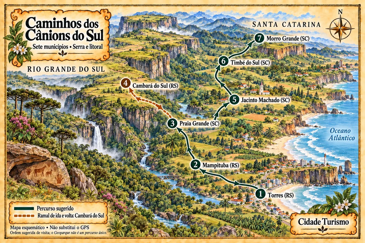
Cambará do Sul – del poti z imenom Caminhos dos Cânions do Sul (Paths of the Southern Canyons)

Seven municipalities between the coast and the Serra Geral, with canyons, waterfalls, paleotocas and rural roads within the Geopark territory.

Zemljevid je ilustrativen in ni v merilu. Dotaknite se mesta, da odprete njegovo stran.
Caminhos dos Cânions do Sul (Paths of the Southern Canyons) – ilustrirani zemljevid
Več o poti – Caminhos dos Cânions do Sul (Paths of the Southern Canyons)

Doživite kraj

Cambará do Sul: kaj si ogledati

canyon

Cânion Fortaleza

The main attraction of the Parque Nacional da Serra Geral, it has cliff walls 7.5 kilometers long and up to 900 meters high. On clear days, the highest viewpoint takes in the Santa Catarina plain and the Rio Grande do Sul coast, and a trail leads to the Pedra do Segredo.

Raziščite Cânion Fortaleza

canyon

Cânion Índios Coroados

On the border with Santa Catarina, inside the Parque Nacional da Serra Geral, it has a viewpoint reached by a short, flat trail of about 600 meters. From the viewpoint you can see the twin waterfalls, which drop a combined total of about 100 meters.

Raziščite Cânion Índios Coroados

See 1 more place in Cambará do Sul
waterfall

Venâncios Waterfall

A set of four wide drops on the Camisas River, on the border between Cambará do Sul and Jaquirana, amid highland fields and araucaria forest. There are pools and rapids for swimming in summer, and it is on private property.

Raziščite Venâncios Waterfall

Kaj izbrati pred odhodom

Izleti – Cambará do Sul

Izhodišče, trajanje, potek, vključene storitve in okvirna cena vsakega izleta.

Walk through Cambará do Sul town center

Odhod: Praça São José, Cambará do Sul town center on foot 1 to 2 hours morning or late afternoon easy

Cambará do Sul’s center fits into a short walk, good for the arrival day or for a misty morning while waiting for the canyon weather to clear. Start at Praça São José. In front of it is the Igreja Matriz São José, built in 1945, with a 32-meter tower, interior paintings and stained glass. The tower clock shows the time and the temperature, and on very cold days it’s a popular photo spot. The square also has an example of cambará, the tree that gave the town its name. Nearby, the Irmã Tarcila Afonso Museum occupies an old two-story wooden house. It gathers more than 400 items, most donated by residents, which help tell the town’s history. There is no entrance fee; confirm before you go whether it is open. Facing the square is the Rua Coberta, an events and performance space. Around the nearby streets are the tour agencies, restaurants and shops of the town.

Kraji na poti: Praça São José, Igreja Matriz São José, Museu Irmã Tarcila Afonso, Rua Coberta.

Vključuje: Self-guided visit, no entrance fee for the square and the church. Shopping and food are paid separately.

Nasvet: Stop by the agencies on the day you arrive to arrange the tours for the following days and ask about park road conditions. At night the temperature drops quickly, even in summer: bring a warm layer.

Najboljši čas za obisk: All year. In winter, the morning and evening chill are part of the experience.

Itaimbezinho Canyon: Vértice and Cotovelo trails

Odhod: Cambará do Sul town center car or agency tour; hikes on foot or by bicycle 4 to 5 hours morning easy

Itaimbezinho is Cambará do Sul’s main attraction. The entrance gate of Aparados da Serra National Park is 18 km from town, on an unpaved road that is rocky in places; regular cars can pass, slowly. Inside the park a paved section leads to the ranger station, with parking, restrooms and a snack bar. Two trails start there, both signed and mostly flat. The Vértice Trail is the shorter one: it skirts the start of the chasm, with viewpoints where you can see the Andorinhas Waterfall and the Véu de Noiva Waterfall, which fall from the top of the cliff. The concessionaire estimates 1h30 for the route including stops. The Cotovelo Trail is about 6 km round trip, with an expected time of 3 hours. It follows an old park road and then crosses the field along the rim until the canyon bends and reaches its deepest part, around 700 meters. Because it is flat, it can also be done by bicycle, rented at the ranger station. What you see depends on the weather. With thick fog the viewpoints turn white; it can clear and close several times in the same morning. The Rio do Boi Trail, which goes through the canyon floor, is another outing: it departs from Praia Grande in Santa Catarina, requires a guide and is not covered by the regular ticket.

Kraji na poti: Aparados da Serra National Park, Itaimbezinho Canyon, Vértice Trail, Cotovelo Trail, Andorinhas Waterfall, Véu de Noiva Waterfall.

Vključuje: The ticket allows 3 entries within 7 days to the Itaimbezinho and Fortaleza areas. Parking, bicycle rental, food, transportation and guide are paid separately. There is a reduced rate for people over 60; check the current table.

Nasvet: Start early and do first the trail that currently has an open view. Bring warm clothing and a windbreaker in any month, water and closed shoes. Pets are not allowed. Confirm opening days before you go.

Najboljši čas za obisk: All year. From May to August visibility is usually better; in summer there is more fog, and after rain the waterfalls normally have more water.

Fortaleza Canyon: lookout, Tigre Preto Waterfall and Pedra do Segredo

Odhod: Cambará do Sul town center car or agency tour; hiking trails on foot 5 to 6 hours morning and early afternoon moderate

Fortaleza Canyon is in Serra Geral National Park, about 23 km from Cambará do Sul center, partly on paved road and partly on dirt road. Its cliffs run for 7.5 km, and the landscape is more open than Itaimbezinho’s, with fields and wind up to the edge. The Mirante Trail leaves from the parking lot and climbs to the highest point. It is just over 3 km round trip, over rocks, with a final uphill section that tires. From the top you can see the whole canyon and, on clear days, the Santa Catarina plain and the Rio Grande do Sul coast. The second trail is almost flat, about 2 km round trip, and leads to Tigre Preto Waterfall: the path crosses the river above the fall and reaches a viewpoint facing it, at the vertex of a canyon arm. About 500 meters ahead is Pedra do Segredo, a 5-meter-high block balanced on a narrow base at the edge of the cliff. The concessionaire estimates about 1 hour for each trail, not counting stops. There is also the South Edge trail, longer, which links the lookout to Pedra do Segredo and requires a local guide. Facilities are small: restrooms and a snack bar by the parking. A zipline crosses the canyon from the high side and is paid separately, with weight and age rules.

Kraji na poti: Serra Geral National Park, Fortaleza Canyon, Mirante Trail, Tigre Preto Waterfall, Pedra do Segredo.

Vključuje: The ticket is the same as for Itaimbezinho: 3 accesses to both parks within 7 days. Zipline, parking, food, transport and guide are paid separately; check the current price list.

Nasvet: Bring snacks, water, warm clothing and a windbreaker. The Tigre Preto trail crosses the river: wear footwear that can get wet and, after heavy rain, ask at the entrance whether it is open. Pets are not allowed.

Najboljši čas za obisk: All year. From May to August there are usually more clear-sky days; in summer fog is more frequent.

Índios Coroados Canyon viewpoint

Odhod: Cambará do Sul town center car or guided tour; short walk on foot about 2 hours, including travel time late morning or early afternoon easy

Smaller and less visited than the two main canyons, Índios Coroados sits on the border with Santa Catarina, about 22 km from Cambará do Sul’s center. The route is the same as to Itaimbezinho: after the park gate, continue 5.5 km on the dirt road toward Praia Grande, until the start of the descent of Serra do Faxinal. From the roadside, a flat trail of about 600 meters crosses a stretch of campo and reaches the rim. The viewpoint faces the twin waterfalls: the water first drops over a ledge of about 10 meters and then splits into two side-by-side falls of roughly 90 meters on the opposite wall. On the other side of the canyon, above the waterfalls, there is a longer trail that requires a local guide. Since it is on the same route, this viewpoint pairs well with a visit to Itaimbezinho: just continue past the park trails. Those who descend to Praia Grande pass by the trailhead.

Kraji na poti: Índios Coroados Canyon, Índios Coroados twin waterfalls, Serra do Faxinal.

Vključuje: Self-guided. Check road and access conditions in town before you go; transport and guide are paid separately.

Nasvet: The best time is late morning to early afternoon. Bring water and a snack, and do not stray from the marked trail.

Najboljši čas za obisk: All year round, on a clear day. After rainy periods the falls usually have more water.

Cachoeira do Tio França and Cachoeira dos Venâncios

Odhod: Cambará do Sul town center car or agency tour; short trails on foot 3 to 5 hours afternoon easy

Two waterfalls on private properties complete the trip to Cambará do Sul and serve as an alternative for days when the canyons wake up shrouded in fog. Cachoeira do Tio França is the closest: it’s a little over 3 km from the town center. The Campo Bom stream forms a drop of about 15 meters there, surrounded by rock walls, araucarias and tree ferns. The trail is short and can be done without a guide; before the main fall you pass the smaller Cascata do Sossego. Cachoeira dos Venâncios is 23 km from the center, on a farm at the border with the municipality of Jaquirana, on an unpaved road. It is formed by the Rio Camisas, which descends in four drops with rapids. In summer it’s a place for swimming; in winter the water is very cold and the visit is for hiking and viewing the falls. At both sites, the owners charge a visitation fee at the entrance. Venâncios is also a stop on the 4x4 tours that local agencies run to the region’s waterfalls and river crossings; if you don’t want to drive on unpaved roads, you can visit it this way.

Kraji na poti: Cachoeira do Tio França, Cascata do Sossego, Cachoeira dos Venâncios, Rio Camisas.

Vključuje: The visitation fee for each private property is paid separately at the entrance; check the current table. Transport and food are not included.

Nasvet: After rainy days, ask locally about the condition of the Venâncios road. Bring footwear that can get wet and, in summer, swimwear.

Najboljši čas za obisk: December to March for swimming. The rest of the year for hiking and viewing the falls.

Po dnevih

Cambará do Sul – načrt poti. Število dni: 1, 2in3

Predlogi za načrtovanje poti. Vrstni red dni prilagodite vremenu in razpoložljivosti izletov.

1 dni · Cambará do Sul in 1 day: Itaimbezinho and downtown

Zathose coming from Gramado, Canela, or São Francisco de Paula for a day trip · Izhodišče:Cambará do Sul
  1. Dan 1 · Itaimbezinho in the morning, town in the afternoon

    Arrive early and go straight to Aparados da Serra National Park, 18 km from town on a dirt road. Do the Trilha do Vértice first, which has viewpoints for the Andorinhas and Véu de Noiva waterfalls, and then the longer Trilha do Cotovelo, on foot or by bicycle. Allow four to five hours for both. If fog is thick when you arrive, wait a while at the park headquarters: it usually clears and returns several times during the morning. On the way back, have lunch in town and walk around the center: Praça São José, the main church (Igreja Matriz) and the Irmã Tarcila Afonso Museum. If there’s still daylight, the Cachoeira do Tio França is a little over 3 km from there. With only one day you can’t see both canyons at a relaxed pace. If you prefer Fortaleza Canyon, swap them: the day’s order stays the same.

2 dni · Cambará do Sul in 2 days: one canyon per day
Zawho wants to see Itaimbezinho and Fortaleza without hurry · Izhodišče:Cambará do Sul
  1. Dan 1 · Itaimbezinho Canyon and Índios Coroados

    Morning at Itaimbezinho, doing the Vértice and Cotovelo trails. Bring a snack or eat at the park headquarters’ snack bar. After the trails, continue 5.5 km along the same road toward Praia Grande to the trailhead for the Cânion Índios Coroados: it’s about a 600-meter walk to the viewpoint of the twin waterfalls. Return to town in the mid-afternoon and stroll through downtown. In the evening, check the weather forecast to decide what time to leave the next day.

  2. Dan 2 · Cânion Fortaleza and Tio França

    Leave early for Parque Nacional da Serra Geral, about 23 km from the center. First climb the Mirante Trail, while the view is usually clearer, then do the trails to Cachoeira do Tigre Preto and Pedra do Segredo. Bring snacks: the park’s facilities are limited. The first-day park ticket is also valid here within the 7-day period. Back in town, close the trip at Cachoeira do Tio França, just over 3 km from the center, before hitting the road.

3 dni · Cambará do Sul in 3 days: canyons, waterfalls, and fields
Zafor those who want a break for the mist and time for waterfalls · Izhodišče:Cambará do Sul
  1. Dan 1 · Arrival, center and Tio França

    Arrive by early afternoon. Walk around the town center, visit the agencies to book tours and ask how the park roads are. In the late afternoon, go to Cachoeira do Tio França, just over 3 km from the center: the trail is short and passes first by Cascata do Sossego. Buy the park tickets online today so you don’t waste time the next morning.

  2. Dan 2 · The canyon with the clearest skies

    Look at the sky when you wake and start with the canyon that has the best weather. With clear views, Fortaleza rewards more: climb the Mirante Trail and continue to Cachoeira do Tigre Preto and Pedra do Segredo. If the morning is unstable, prefer Itaimbezinho, where the viewpoints are near the park headquarters and you can wait for the fog to lift. In the afternoon, rest or visit the Irmã Tarcila Afonso Museum.

  3. Dan 3 · The other canyon and the waterfalls

    For those who booked the balloon flight, departure is at dawn, weather permitting. Afterward, do the canyon you missed. If it’s Itaimbezinho, extend to the Índios Coroados viewpoint, 5.5 km beyond the park entrance. In the afternoon, if weather closes in over the canyons, switch to waterfalls: Cachoeira dos Venâncios is 23 km from town on a dirt road, and agencies include it on 4x4 tours. Park tickets allow 3 entries in 7 days: if one canyon was cloudy, you still have a second attempt before leaving.

Najboljši čas za obisk

Kdaj se odpraviti:Cambará do Sul po mesecih

The seasons shown are the most usual ones; nature doesn't always follow the calendar.

januar Veliko padavin

Mild summer · Waterfall swimming

Lows around 16 °C and highs near 24 °C. It is one of the rainiest months, with showers, and fog frequently rises from the coast to the canyon rim. Leave early and keep a spare day to repeat the visit. On the plus side, waterfalls are usually full and it is bathing season at Tio França and the Venâncios. Brazilian school holidays increase the crowds.

februar Veliko padavin

Carnival · Full waterfalls

Lows of 16 °C and highs of 24 °C, with frequent rain. The canyon views change hour by hour: wait for the mist to clear before giving up. Nights are cool and call for a light jacket. Carnival fills the guesthouses; outside the holiday the crowds are smaller than in July.

marec Zmerne padavine

End of summer · Stable days

Lows around 15 °C and highs around 23 °C. Rain decreases and days become more settled, still with pleasant temperatures for long trails such as Cotovelo. Water in the waterfalls remains pleasant in the first half of the month. There is little activity outside weekends.

april Malo padavin

Autumn · Cleaner skies

Lows near 12 °C and highs of 21 °C. It’s among the driest months of the year, and drier air improves visibility at the edges. Nights are already cold. The Easter and Tiradentes holidays, when they fall in the month, pack the town; on other days lodgings have availability.

maj Zmerne padavine

Cold Approaching · Good Visibility

Lows around 9 °C and highs of 18 °C. The period when the canyons typically have more clear-sky days begins, lasting until August. Mornings are cold, with the first frosts on the fields. Bring a coat, hat and gloves for the start of the trails.

junij Malo padavin

Winter · Frosts

Lows near 8 °C and highs of 16 °C, with nights that can drop below zero and white frost on the fields. The dry, cold air favors views of the canyons. Wind on the rim increases the feeling of cold: dress in layers. The Corpus Christi holiday, when it falls in the month, fills the city.

julij Zmerne padavine

Coldest month · High season

Coldest month: lows around 7 °C and highs of 16 °C, with frequent frost and subzero temperatures on some early mornings. Snow is rare. Brazilian school holidays make this the busiest time of the year; book accommodation and tours in advance. Water in the waterfalls is very cold.

avgust Malo padavin

Cold · Clear‑sky days

Lows near 8 °C and highs of 18 °C, with below‑average rainfall. It’s still frost season with good visibility in the canyons, and fewer people than in July. Days start getting longer, which helps combine Itaimbezinho and Índios Coroados in the same outing.

september Veliko padavin

Spring · Aparados Off-Road

Lows around 9 °C and highs of 19 °C. Rain becomes more frequent and fog appears more often. The town usually hosts an off‑road vehicle meeting in September, which fills many pousadas on those days; check the date before booking.

oktober Veliko padavin

Wettest month · Watered waterfalls

Lows near 12 °C and highs of 21 °C. This is the wettest month of the year. The dirt roads to parks and waterfalls can get muddy and full of potholes: check in town before you go and allow extra travel time. Bring a rain poncho and waterproof footwear.

november Zmerne padavine

Long days · Low crowds

Lows around 13 °C and highs of 22 °C, with less rain than in October. The long days allow unhurried hikes, and crowds are light outside the November 15 holiday. Fog remains possible at any time, especially after mid-morning.

december Veliko padavin

Start of summer · Year-end parties

Lows near 15 °C and highs of 24 °C, with afternoon rain showers. It’s time again for swimming in waterfalls. The week between Christmas and New Year’s is busy, and parks may have special hours on those dates; check before you go.

Načrtujte pot

Kako do tja:Cambará do Sul

By plane: Porto Alegre or Caxias do Sul

Cambará do Sul does not have an airport with regular flights. The most used is Salgado Filho International Airport (POA) in Porto Alegre, about 190 km away, roughly a 3-hour drive. It receives flights from multiple Brazilian cities and some international connections that vary with the season; travelers coming from abroad usually connect through a larger Brazilian airport.

The regional Hugo Cantergiani Airport (CXJ) in Caxias do Sul is closer, about 137 km and roughly 2 hours by car, but it has few flights and routes change. Check with the airline and don’t rely on it as the only option.

From either airport you continue by land. The most practical choice is to pick up a rental car at the airport, because you will also need it to reach the canyons. Book in advance for July and holiday periods.

By car: RS-020 from Porto Alegre, Gramado, and Canela

From Porto Alegre it’s about 190 km, roughly 3 hours. The most used route leaves on BR-290 to Gravataí and continues on RS-118 and RS-020, which climbs the mountains near Taquara and passes São Francisco de Paula. The entire route is paved, with many curves on the ascent.

From Gramado it’s about 113 km: take RS-235 through Canela to São Francisco de Paula, then RS-020. The final stretch crosses highland fields, passes the Tainhas junction where RS-020 meets the Rota do Sol, and reaches Cambará about 70 km after São Francisco de Paula.

From Caxias do Sul the route is the Rota do Sol to the RS-020 junction.

Fog is common in the mountains and on the fields, especially early morning and at night: reduce speed and use low beams. Fill up with fuel in town before heading to the parks.

By bus from Porto Alegre

The company Citral connects Porto Alegre to Cambará do Sul. There are few departures, and the trip is much slower than by car. Days and times change: check the current timetable before planning your itinerary, including return trips.

Cambará’s bus terminal is on RS-020, a few minutes’ walk from the center.

Arriving by bus only solves the first part. There is no public transport from the town to the canyons or waterfalls, which are 3 to 23 km from the center on roads with unpaved sections. Visitors without a car need to book local agency tours, which pick up at pousadas, or a taxi with the return arranged.

With an agency, from Gramado and Canela

Agencies in Gramado and Canela sell the one-day canyon tours with transportation, round trip. The itinerary varies: one canyon at a relaxed pace or both visited quickly, because just the drive takes about two hours each way.

It’s an option for those staying in the hydrangea region who don’t want to drive. The limitation is time: the group has a return schedule and, if fog closes the view that day, there’s no second chance.

Agencies in Cambará do Sul offer the same tours from the town’s pousadas, by van or 4x4, with a guide, and also waterfall, horseback and balloon itineraries. For those sleeping in Cambará, leaving with them removes the need for a car on dirt roads.

Park admission isn’t always included in the tour price; confirm at booking what is paid separately.

How to get around Cambará do Sul and reach the canyons

The center is walkable. Everything else requires a vehicle.

Itaimbezinho: 18 km from the center, on a dirt road, toward Praia Grande. Cânion Índios Coroados is on the same road, 5.5 km past the park entrance.

Fortaleza: about 23 km from the center, in another direction, part paved and part dirt.

Cachoeira do Tio França: just over 3 km. Cachoeira dos Venâncios: 23 km, on a dirt road.

Regular cars can make these routes, slowly; the roads are rocky and, after rain, have mud and potholes. Allow more time than the distance suggests and avoid driving them at night or in heavy fog.

To Santa Catarina, the Itaimbezinho road continues over Serra do Faxinal and descends to Praia Grande. It’s a mountain road with steep drops, mostly unpaved; ask in town about its condition before descending.


Odgovori na vaša vprašanja

Frequently asked questions about Cambará do Sul

Do I need a guide for the canyons?

Not on the rim trails of Itaimbezinho and Fortaleza: a guide is suggested, but not required. The Rio do Boi trail, which runs along the bottom of Itaimbezinho, requires a licensed guide and starts in Praia Grande, in Santa Catarina.

What if it's foggy?

Fog can cover the canyons completely and roll in suddenly. Keep a spare day in your itinerary and follow the weather forecast.

Are the parks open every day?

The visitor areas of Itaimbezinho and Fortaleza are open daily. The Rio do Boi trail is also open every day and can only be done with a guide.

Does it snow in Cambará do Sul?

It can snow on rare days between June and August, but you can't plan your trip around it. Bitter cold and frost are guaranteed in winter.

How many days should you stay in Cambará do Sul?

Two full days is the minimum to see Itaimbezinho and Fortaleza without rushing, one canyon per day. With three days you have a buffer in case fog closes the view of one of them, plus time for the Índios Coroados viewpoint and the Tio França and Venâncios waterfalls. If you only have one day, coming from Gramado or Canela, you can visit a canyon.

Do you need a car in Cambará do Sul?

For the canyons and waterfalls, yes: they are 3 to 23 km from town and there is no public transport to them. If you don’t have a car or don’t want to drive on dirt roads, book tours with the town’s agencies—they pick you up at your pousada. The town center can be explored on foot.

Can you visit Itaimbezinho and Fortaleza on the same day?

You can, but it’s tight. They lie in different directions from town, about 18 km and 23 km from the center, and each has at least two trails. On the same day people usually do one trail in each park: the Vértice trail at Itaimbezinho and the Mirante trail at Fortaleza. Leave early, bring snacks, and be prepared for the risk that fog may close the view at one of them.

Itaimbezinho or Fortaleza: which to choose if you have little time?

Itaimbezinho is easier: the trails are flat, the viewpoints are close to the park headquarters, and there are a snack bar and restrooms. It’s the choice for travelers with children or people who walk little. Fortaleza is more open and higher, with wide views of the cliffs and, on clear days, the coast, but the Mirante trail has climbs and facilities are more limited. In unstable weather, it’s easier to wait for the view to clear at Itaimbezinho, because the viewpoints are near the headquarters.

What is the best time to go to Cambará do Sul?

To see the canyons, May to August: the air is drier and there are usually more clear-sky days, with strong cold and frosts. April also has little rain. For bathing in waterfalls, December to March, when it rains more and fog is more frequent. July, the school holiday month in Brazil, is the busiest period.

Can you go to Cambará do Sul and return the same day from Gramado?

Yes. It’s about 113 km, roughly two hours each way via Canela and São Francisco de Paula. Leaving very early, there’s time to visit a canyon calmly—preferably Itaimbezinho—and have lunch in town. To see both canyons, or not to depend on one day’s weather, it’s better to stay overnight in Cambará.

Can a regular car reach the canyons of Cambará do Sul?

Yes. The roads to Itaimbezinho and Fortaleza include rocky dirt stretches, but regular cars can pass if you go slowly. After several days of rain there can be mud and potholes, and a low-slung car requires extra care. Ask at your pousada or at local tour operators about road conditions before you leave.

What to do in Cambará do Sul besides the canyons?

Tio França Waterfall, a little over 3 km from town, and Venâncios Waterfall, 23 km away, are the closest visits. Local agencies offer 4x4 trips to waterfalls and river crossings, horseback rides across the fields to the edges of lesser-known canyons, and sunrise hot-air balloon flights when the weather allows. In town there is the São José Mother Church and the Irmã Tarcila Afonso Museum.

What to bring for canyon hikes?

A warm layer and a windbreaker in any season, because it’s windy on the rim and the weather changes fast. Closed shoes, water, a snack, sunscreen and a rain poncho. In winter bring a hat and gloves for early mornings. Carry photo ID—parks may require it at the entrance.

Which airport is closest to Cambará do Sul?

Caxias do Sul Airport is about 137 km away but has few flights. The most commonly used is Porto Alegre Airport, about 190 km away, roughly a 3-hour drive via RS-020.

Is there a bus to Cambará do Sul?

Yes, from Porto Alegre with the Citral company. Departures are limited and the trip is long; check the current schedule. There is no bus from town to the canyons: you need to hire an agency tour or a taxi.

Can you go from Cambará do Sul to Praia Grande, Santa Catarina?

Yes, via the Serra do Faxinal, the continuation of the Itaimbezinho road. It’s a steep mountain descent with long sections of dirt road; ask in town about current road conditions before going. In Praia Grande the Rio do Boi Trail begins, which crosses Itaimbezinho from below.

Delite svoja popotniška doživetja s fotografijami Pošljite fotografije vsakega kraja, ki ste ga obiskali. Največje število fotografij na kraj: 5.
Ogled destinacije Serra Gaúcha Poiščite drugo mesto

Več kot vodnik