

 Brazilija
 Antarktika
 Bolivija
 Čile
 Kolumbija
 Ekvator
 Gvajana
 Francoska Gvajana
 Falklandski otoki (Malvini)
 Paragvaj
 Peru
 Surinam
 Urugvaj
 Venezuela
 Nemčija
 Avstrija
 Belgija
 Hrvaška
 Danska
 Slovaška
 Slovenija
 Španija
 Finska
 Francija
 Grčija
 Nizozemska
 Madžarska
 Irska
 Islandija
 Italija
 Luksemburg
 Norveška
 Poljska
 Portugalska
 Združeno kraljestvo
 Češka
 Švedska
 Švica
 Turčija
 Bermudi
 Kanada
 Združene države Amerike
 Grenlandija
 Mehika
 Sveta Peter in Mihael
 Dominikanska republika
 Japonska
 Južnoafriška republika
 Egipt
 Avstralija
 Fidži
 Nova Zelandija
 Papua Nova Gvineja
Pot · Tierra del Fuego
Fuegian Andes (RN 3)
From the Beagle Channel to Lakes Escondido and Fagnano, via the crossing of the Fuegian Andes between Ushuaia and Tolhuin.
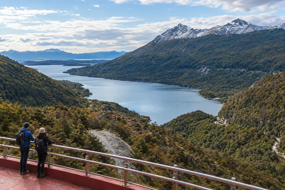
Na fotografiji: Lago Escondido seen from the Paso Garibaldi Viewpoint
Illustrative images. The pictures in this guide are illustrations based on the real place, not photographs, and may differ from it.


Pot
Fuegian Andes (RN 3) – predstavitev
Ushuaia sits on the north shore of the Beagle Channel, with the mountain range behind the town. RN 3 heads out to the Carbajal and Tierra Mayor valleys, across peatlands and forests. The route crosses the Fuegian Andes before reaching the lakes region and Tolhuin.
Paso Garibaldi marks the passage through the range. Its viewpoint looks over Lago Escondido; after the descent, the road continues through the Lago Fagnano area to the eastern head, where Tolhuin is located. Access roads to the lakes branch off the main road and reach their shores.
Bahía Lapataia lies in the opposite direction, west of Ushuaia, inside Tierra del Fuego National Park. The road ends at the bay, where boardwalks run along the coastal landscape. The visit is a round trip from Ushuaia. Separate that outing from the transfer to Tolhuin.
Zemljevid
Število mest na poti: 2
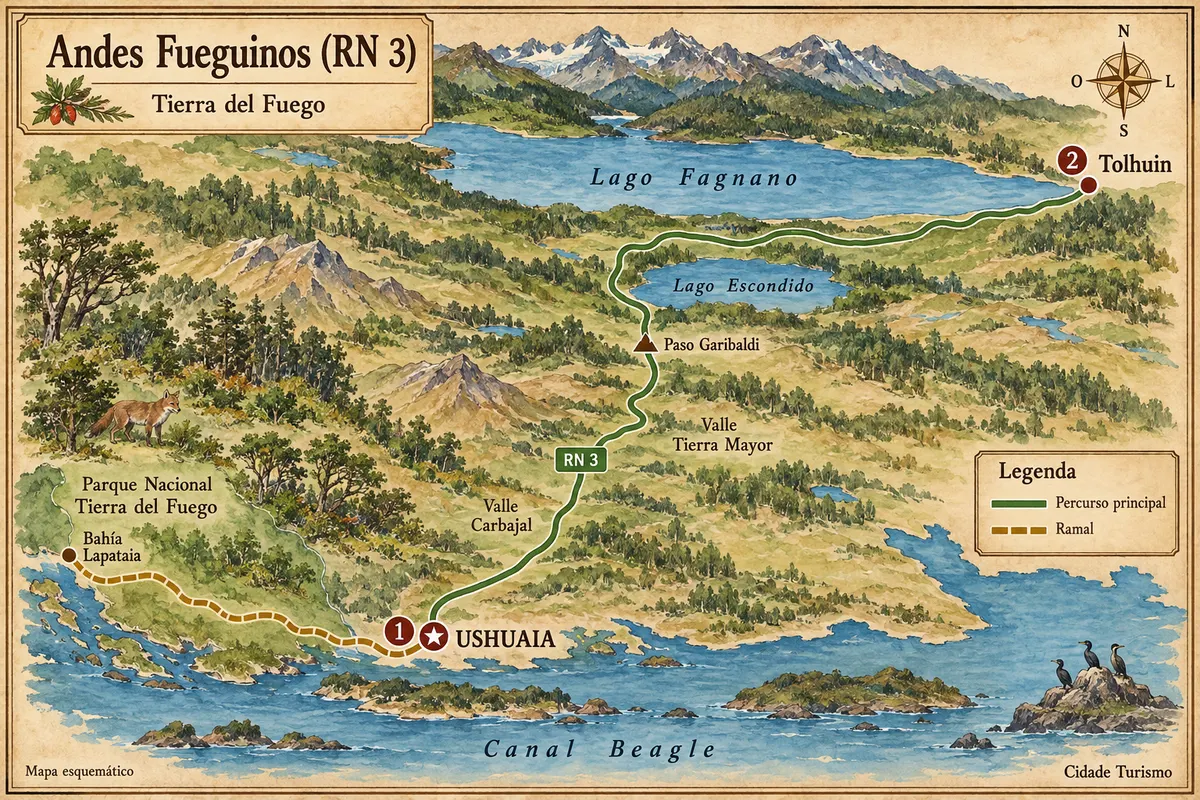
Vir: Instituto Geográfico Nacional de la República Argentina (IGN), obrisi iz leta 2019. Priredba: Cidade Turismo.
Potek poti
Od mesta do mesta
Razdalje in časi so okvirni. Preverite jih pred odhodom.
-
 1 · Tierra del Fuego
Ushuaia
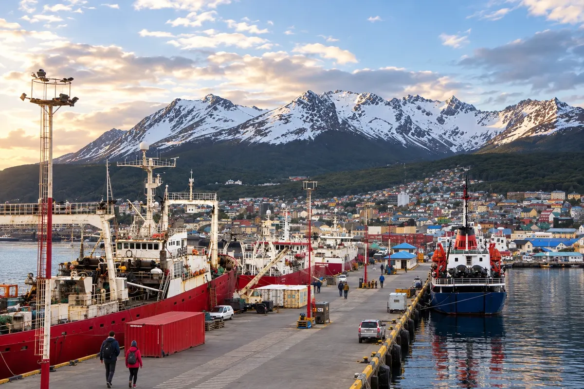
Ushuaia brings together the Beagle Channel waterfront, museums and access to valley walks. West of town, the park road ends at Bahía Lapataia, with boardwalks along the coast.
→ Tolhuin približno 100 km Follow RN 3 from Ushuaia, passing the Carbajal and Tierra Mayor valleys, Paso Garibaldi, Lago Escondido and Lago Fagnano, to Tolhuin. The main link is paved; Bahía Lapataia is a spur west of Ushuaia, with gravel within the park.
-
 2 · Tierra del Fuego
Tolhuin
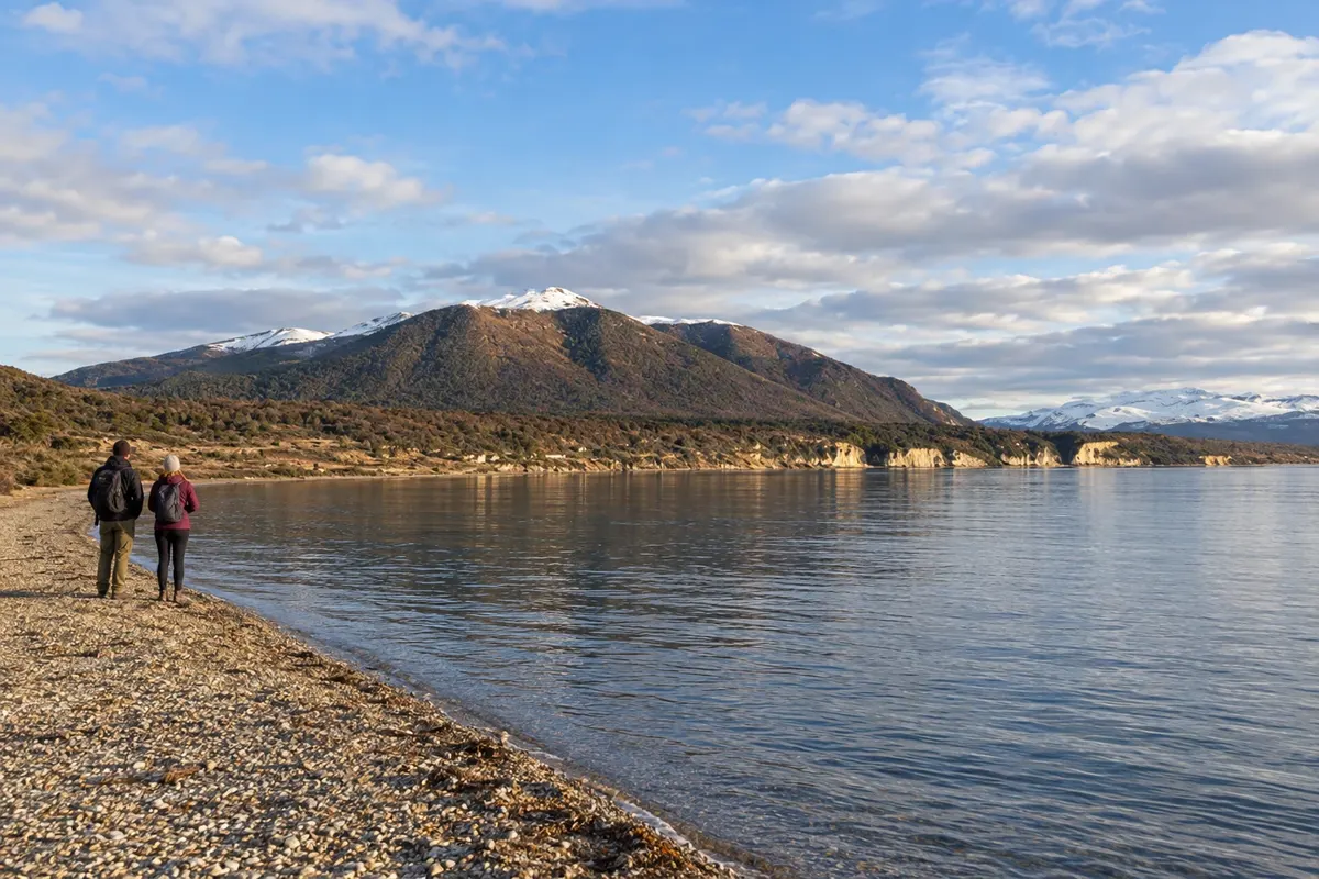
Tolhuin sits at the eastern head of Lago Fagnano. The lake shore and nearby forests appear after crossing the range on RN 3.
Koliko dni
Allow three to five days for both bases, choosing walks and a separate outing to Bahía Lapataia.
Najboljši čas za obisk
From December to February there are usually more daylight hours. March and April bring color change in the forests. Between July and September, snow and ice can affect the road and access points.
The seasons shown are the most usual ones; nature doesn't always follow the calendar.
Kako prepotovati pot
Use a car, shuttle, or excursion for the scenic stops. There is transport between Ushuaia and Tolhuin; the visit to Bahía Lapataia departs separately to the west. Confirm requirements for driving with a Brazilian license before you travel.
Komu je pot namenjena
Travelers interested in forests, mountains and lakes, with roadside viewpoints and walks chosen according to fitness and available time.
Odgovori na vaša vprašanja
Pogosta vprašanja – Fuegian Andes (RN 3)
Is the road between Ushuaia and Tolhuin paved?
The link along RN 3 is paved. Access roads to the lake shores and the spur inside the park to Bahía Lapataia have their own conditions, including gravel.
Where can you see the lakes along the route?
The Paso Garibaldi viewpoint overlooks Lago Escondido. After the descent, the route reaches the Lago Fagnano area; Tolhuin is at its eastern head.
Is Bahía Lapataia on the way to Tolhuin?
The bay lies west of Ushuaia, inside the national park. Book a round-trip outing from town, separate from the leg to Tolhuin.
Can the route be done without a rental car?
There is transport between the towns and excursions to the lakes departing from Ushuaia. Intercity transport and visits to viewpoints are different services; combine the access points you want to visit.
What changes between summer and winter?
From December to February there are usually more daylight hours. Between July and September, snow and ice can affect travel; March and April usually bring color change in the forests.
Več kot vodnik


