

Jezero
Lake Khami (Fagnano)
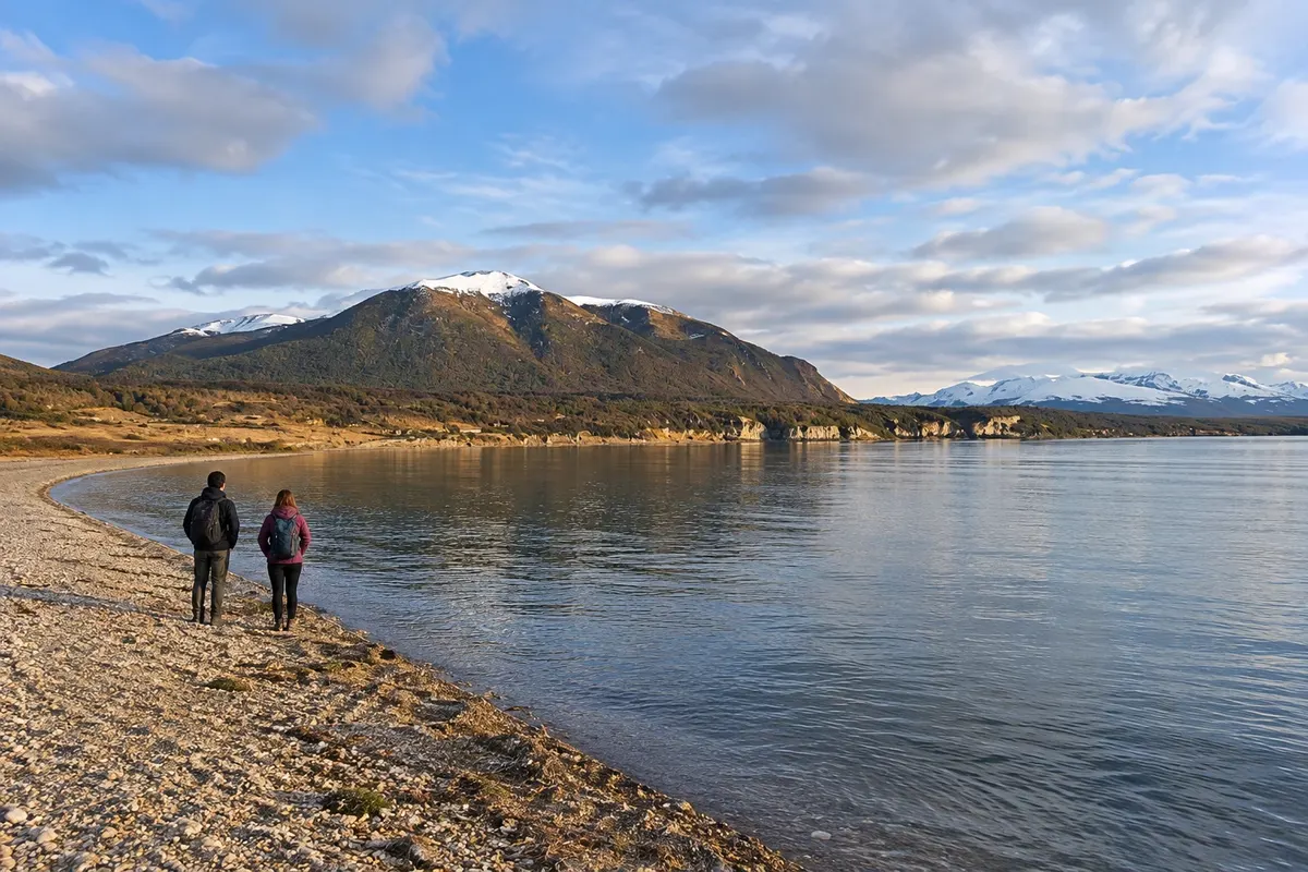
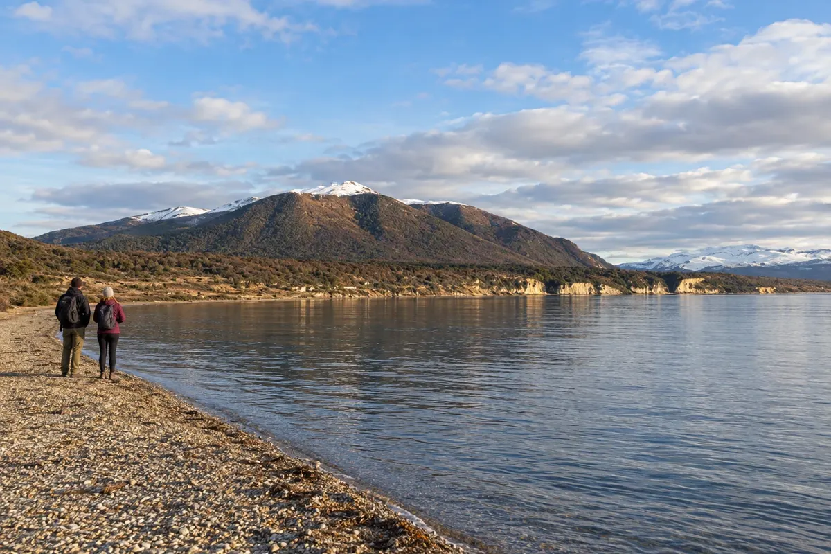
Eastern end of Lago Fagnano, close to Tolhuin, with a shore exposed to the wind and Fuegian forest in the surroundings.

 Išči
 Brazilija
 AntarktikaArgentina
 Bolivija
 Čile
 Kolumbija
 Ekvator
 Gvajana
 Francoska Gvajana
 Falklandski otoki (Malvini)
 Paragvaj
 Peru
 Surinam
 Urugvaj
 Venezuela
 Nemčija
 Avstrija
 Belgija
 Hrvaška
 Danska
 Slovaška
 Slovenija
 Španija
 Finska
 Francija
 Grčija
 Nizozemska
 Madžarska
 Irska
 Islandija
 Italija
 Luksemburg
 Norveška
 Poljska
 Portugalska
 Združeno kraljestvo
 Češka
 Švedska
 Švica
 Turčija
 Bermudi
 Kanada
 Združene države Amerike
 Grenlandija
 Mehika
 Sveta Peter in Mihael
 Dominikanska republika
 JaponskaTurčija
 Južnoafriška republika
 Egipt
 Avstralija
 Fidži
 Nova Zelandija
 Papua Nova Gvineja
Terra do Fogo · Argentina
Destinacija: Ushuaia and Tierra del Fuego.
Na fotografiji: Lago Khami (Fagnano)
Illustrative images. The pictures in this guide are illustrations based on the real place, not photographs, and may differ from it.
Mesto
Tolhuin is located in the center of the Isla Grande de Tierra del Fuego, at the eastern end of Lago Khami, also called Fagnano. The municipality serves as a base for routes in Reserva Laguna Negra, Reserva Río Valdez and Reserva Desembocadura Río Turbio. The surroundings alternate between forest, peat bogs and lagoons, in a transition zone to the Fuegian steppe.
V vodniku še ni nastanitev – Tolhuin.
kako do tja · koliko dni · načrt poti · vprašanja
Poti – in Argentina
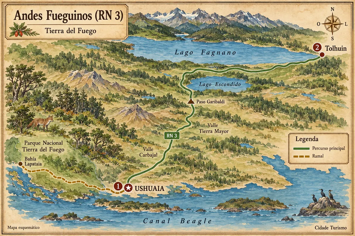
From the Beagle Channel to Lakes Escondido and Fagnano, via the crossing of the Fuegian Andes between Ushuaia and Tolhuin.
Doživite kraj
Eastern end of Lago Fagnano, close to Tolhuin, with a shore exposed to the wind and Fuegian forest in the surroundings.
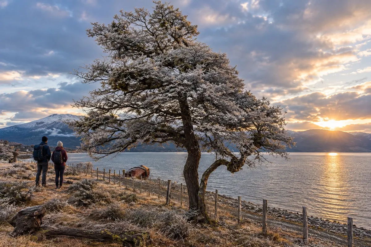
Protected area north of Lago Khami, featuring the Paisaje en Movimiento trail and forest along the shore.
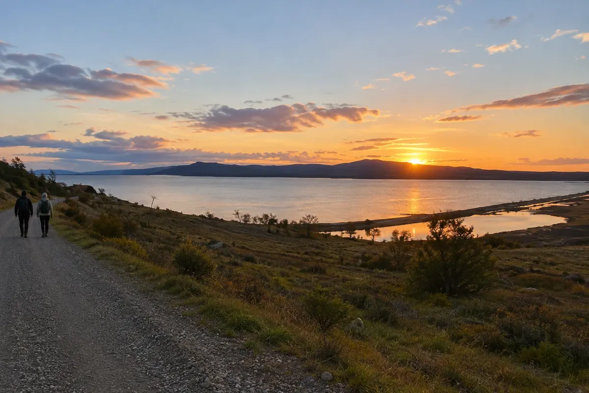
Wetland beside Lago Khami, featuring the Haiken Chache birdwatching trail near Tolhuin.
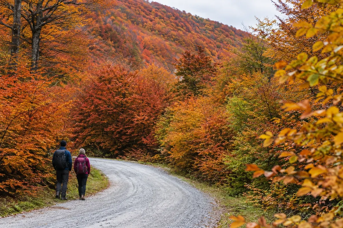
Forests and peatlands on the southeast shore of Lago Khami, with access to lagoons and trails outside Tolhuin.
Pred odhodom
Tolhuin – Tierra del Fuego Destinacija Ushuaia and Tierra del Fuego približno 105 km stran (izhodišče: Ushuaia)
Razdalje so približne. Pred potovanjem preverite lete in vozne rede avtobusov, vlakov ali ladij.
Arrive via Ushuaia airport and follow about 105 km along Ruta Nacional 3, crossing Paso Garibaldi. There is regional road transport; confirm boarding and drop-off points before traveling. Access to the lakes outside town requires additional travel.
One or two days allow you to get to know the shore of Lago Khami and Reserva Laguna Negra. Add time to spread visits to Reserva Río Valdez and Reserva Desembocadura Río Turbio, rather than packing all routes into the same travel day.
From November to March the longer days usually make it easier to get around the lakes and forests. From June to September snow and ice can alter access. In April and May deciduous vegetation tends to change color, with fewer hours of daylight.
The seasons shown are the most usual ones; nature doesn't always follow the calendar.
A vehicle helps with reaching remote reserves and secondary roads. Without a car, arrange transfers or guided activities. Walking in the center does not cover travel to all natural spots in the municipality.
Predlog poti
Pot povezuje znamenitosti na tej strani. Za oglede boste imeli dovolj časa.
Go to the eastern end of the lake to walk along the shore and observe the surrounding forest.
Choose the access point and walk the sendero Paisaje en Movimiento according to conditions and the group's pace.
Return with enough time to organize the next day's travel, especially if you're continuing to Ushuaia.
Use the central area to have dinner and check the routes planned for another nature outing.
Check before you go. Opening hours and days change, and places may close for renovations, holidays or events. This itinerary is a suggestion from Cidade Turismo, not a commitment: plan yours by checking directly with each place you intend to visit.
Pred odhodom
The most used air arrival for this route is Ushuaia. From there, travel to Tolhuin continues via Ruta Nacional 3.
Yes. Both names refer to the large lake by which Tolhuin sits; the town is near its eastern end.
One night reduces having both road travel and hiking concentrated in the same day. A day trip from Ushuaia requires selecting only some of the nearby points.
No. Each area has different access points and some are distant. Arrange transport and choose your route before heading out.
Več kot vodnik


