

Park
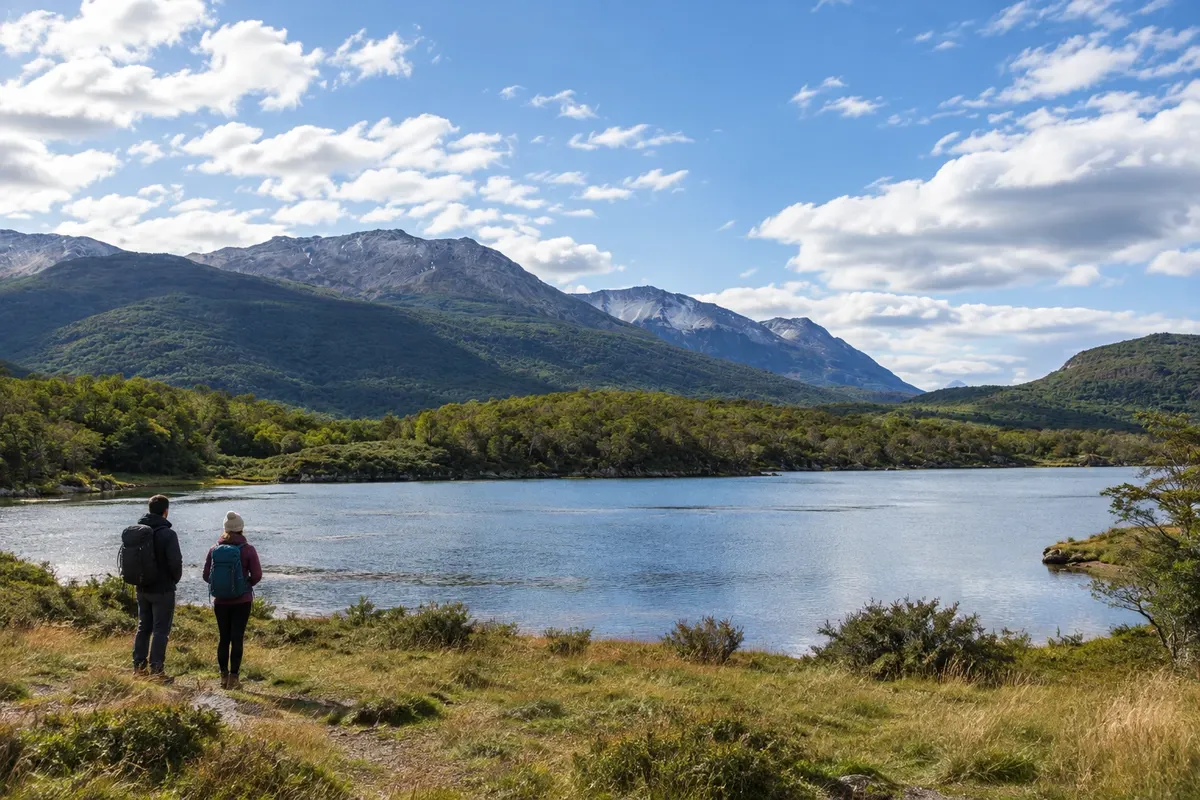
Tierra del Fuego National Park
Fuegian forest, rivers and coastline on the Canal Beagle, with the visitor area concentrated in the sectors close to Ushuaia.

 Išči
 Brazilija
 AntarktikaArgentina
 Bolivija
 Čile
 Kolumbija
 Ekvator
 Gvajana
 Francoska Gvajana
 Falklandski otoki (Malvini)
 Paragvaj
 Peru
 Surinam
 Urugvaj
 Venezuela
 Nemčija
 Avstrija
 Belgija
 Hrvaška
 Danska
 Slovaška
 Slovenija
 Španija
 Finska
 Francija
 Grčija
 Nizozemska
 Madžarska
 Irska
 Islandija
 Italija
 Luksemburg
 Norveška
 Poljska
 Portugalska
 Združeno kraljestvo
 Češka
 Švedska
 Švica
 Turčija
 Bermudi
 Kanada
 Združene države Amerike
 Grenlandija
 Mehika
 Sveta Peter in Mihael
 Dominikanska republika
 JaponskaTurčija
 Južnoafriška republika
 Egipt
 Avstralija
 Fidži
 Nova Zelandija
 Papua Nova Gvineja
Terra do Fogo · Argentina Capital
Destinacija: Ushuaia and Tierra del Fuego.
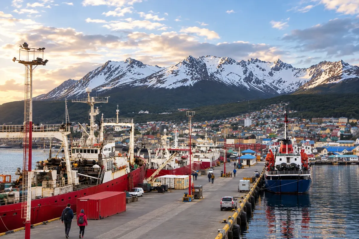
Na fotografiji: Puerto de Ushuaia
Illustrative images. The pictures in this guide are illustrations based on the real place, not photographs, and may differ from it.
Mesto
Ushuaia stretches along the Canal Beagle, between slopes and mountains. The Museo Marítimo y del Presidio occupies the former prison, while the Parque Nacional Tierra del Fuego brings together forest and coastline west of the city. Laguna Esmeralda and Glaciar Martial provide hikes with varying levels of difficulty. The capital serves as the flight arrival point for exploring the southern part of the island.
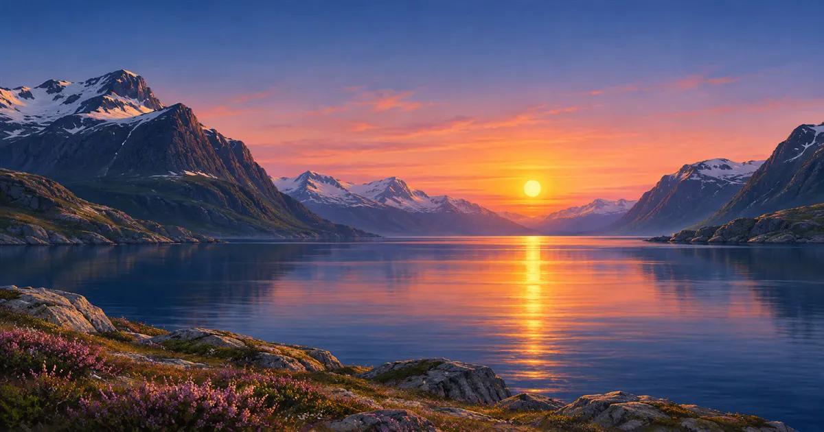
Datumi so znani, vendar lahko oblaki zakrijejo Sonce.

Rekordi našega planeta in kraji, kjer jih lahko vidite.
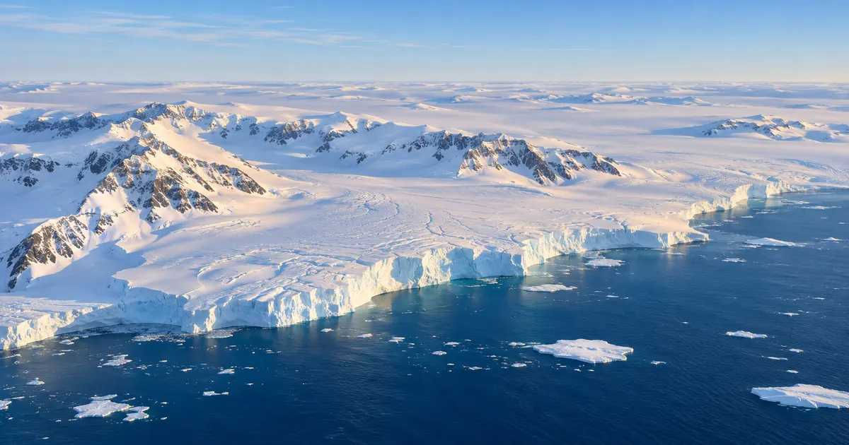
Spoznajte ledeno celino: njen led, podnebje, živi svet, zgodovino in znanost.
V vodniku še ni nastanitev – Ushuaia.
kako do tja · koliko dni · načrt poti · vprašanja
Poti – in Argentina
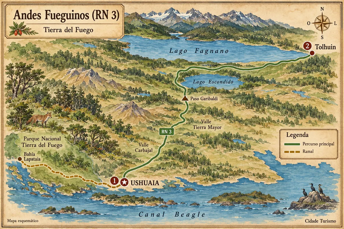
From the Beagle Channel to Lakes Escondido and Fagnano, via the crossing of the Fuegian Andes between Ushuaia and Tolhuin.
Doživite kraj
Fuegian forest, rivers and coastline on the Canal Beagle, with the visitor area concentrated in the sectors close to Ushuaia.
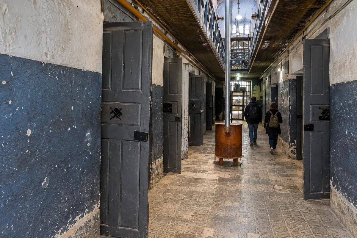
Pavilions of the former Ushuaia prison with collections about the penitentiary, southern navigation and Antarctica.
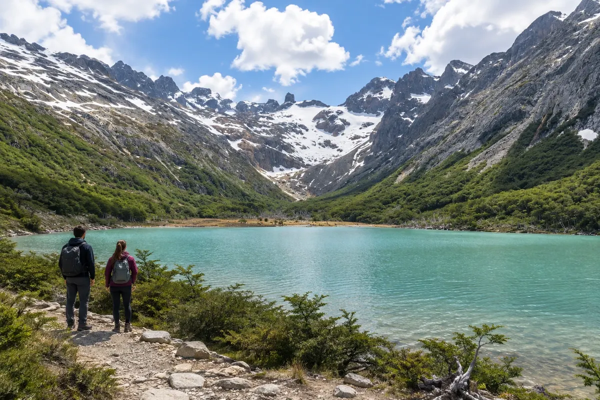
Glacial-origin lake in Valle Tierra Mayor, reached by a hike through lenga forest, peatlands and slopes.
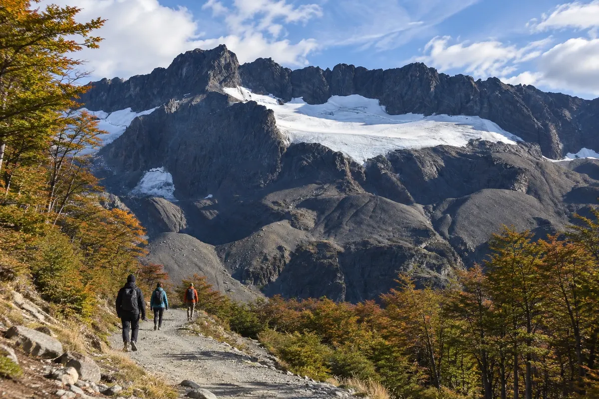
Mountain area above Ushuaia, with forest trails and viewpoints overlooking the glacial valley and the Canal Beagle.
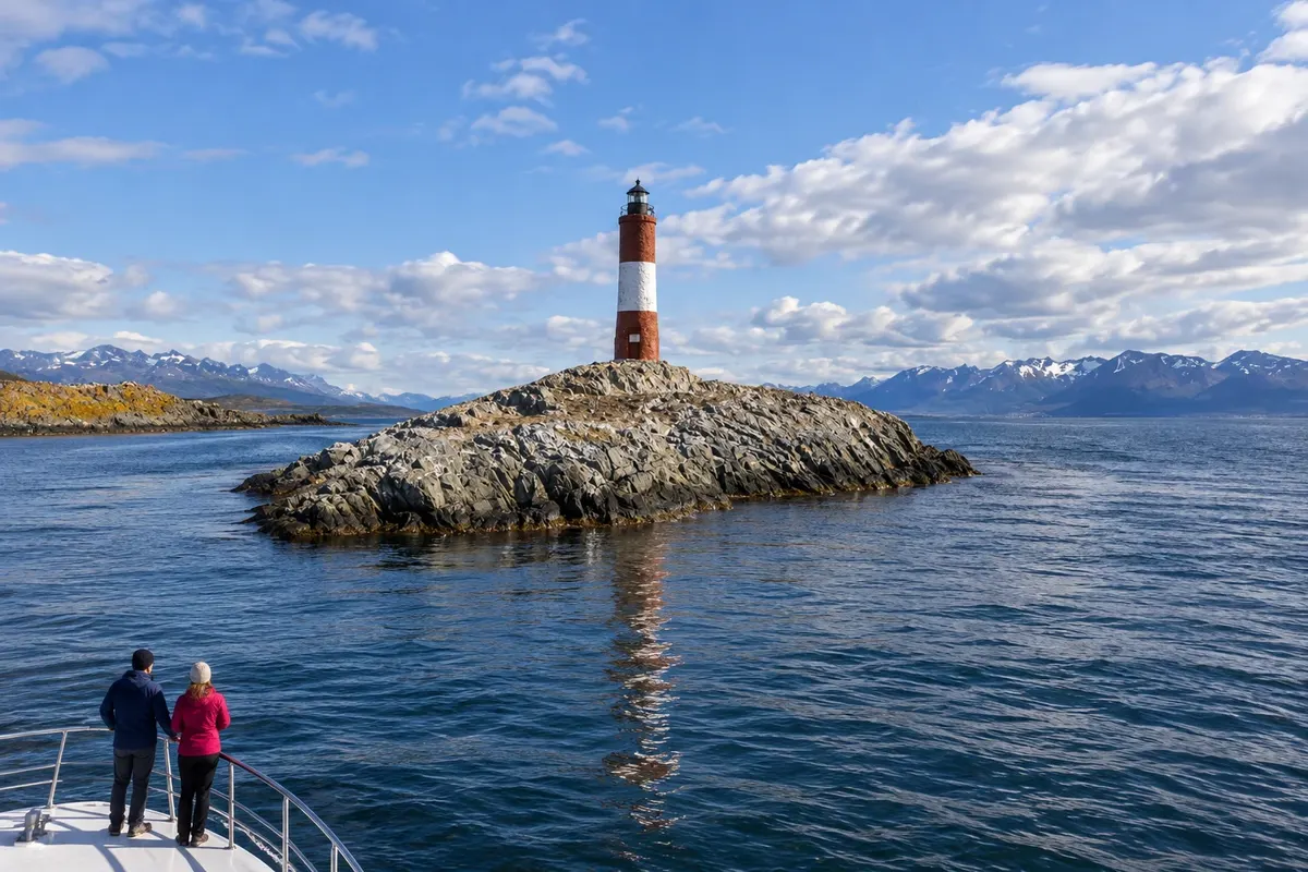
Departure from Ushuaia along the Canal Beagle to Faro Les Éclaireurs, a red-and-white tower on a rocky islet. The scenery combines sea, islands and Fuegian mountains.
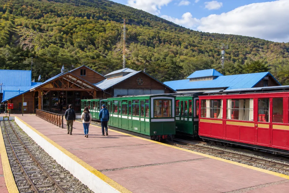
A narrow-gauge tourist train that departs from Estación del Fin del Mundo and runs along the Río Pipo valley, between forest and peatlands, toward Parque Nacional Tierra del Fuego.
Pred odhodom
Ushuaia – Tierra del Fuego Destinacija Ushuaia and Tierra del Fuego Capital
Razdalje so približne. Pred potovanjem preverite lete in vozne rede avtobusov, vlakov ali ladij.
There are about 6 km between the airport and the city center. Check for possible airport changes during the connection and arrange arrival transport.
Four or five days accommodate the museum, an outing to Parque Nacional Tierra del Fuego and hikes on separate days. Don’t schedule a long trail between the plane arrival and an activity with a fixed time.
From November to March there are more daylight hours for outdoor activities. Between June and September snow often appears on the mountains and can affect trails; check conditions before heading out. Wind makes layered clothing necessary at any time of year.
The seasons shown are the most usual ones; nature doesn't always follow the calendar.
The town center can be explored on foot, although the streets above Avenida San Martín are uphill. Transfers and excursions serve the park and trails. Renting a car is useful for independent travel, but it doesn’t remove the walking required at the attractions.
Predlog poti
Pot povezuje znamenitosti na tej strani. Za oglede boste imeli dovolj časa.
Walk through the pavilions and allow time for the rooms dedicated to maritime history and the former prison.
Walk along Avenida Maipú and take in the port and the bay. Use the rest of the afternoon to get familiar with the services in the town center.
Check conditions at Glaciar Martial and Laguna Esmeralda and adjust transport for upcoming departures.
Choose a restaurant in the center and return with warm clothing: the temperature can drop even after a mild day.
Dan 1
Head to the park’s public-use area and divide the visit between forest paths and the coastline.
Complete the outing with the boardwalks and viewpoints in the Lapataia sector, according to the accesses open that day.
Return without adding another long hike. Reorganize your luggage for the following day.
Have a meal near your accommodation and prepare your hiking equipment.
Dan 2
Start the hike in the morning with footwear suitable for wet terrain and bring water for the route.
Complete the return route respecting the markings and avoiding shortcuts across the peat bogs.
Use your return to town to rest; the duration of the trail varies with ground conditions and the group’s pace.
End the day without long transfers and check the forecast before deciding on the next activity.
Check before you go. Opening hours and days change, and places may close for renovations, holidays or events. This itinerary is a suggestion from Cidade Turismo, not a commitment: plan yours by checking directly with each place you intend to visit.
Pred odhodom
The distance is about 6 km. The journey is usually made by car, taxi, or a transfer arranged with your accommodation.
Yes. The museum and the central coastline don’t require mountain routes. In the national park there are sectors with boardwalks; check the characteristics of each trail before choosing.
Between June and September snow is more common in the mountains. Trail conditions depend on weather and altitude, and you should not expect a specific scene in town.
It’s better to set aside another day. The round-trip hike takes about four to five hours, plus transfers, and the terrain can increase that duration.
Več kot vodnik


