

 Brazilija
 Antarktika
 Bolivija
 Čile
 Kolumbija
 Ekvator
 Gvajana
 Francoska Gvajana
 Falklandski otoki (Malvini)
 Paragvaj
 Peru
 Surinam
 Urugvaj
 Venezuela
 Nemčija
 Avstrija
 Belgija
 Hrvaška
 Danska
 Slovaška
 Slovenija
 Španija
 Finska
 Francija
 Grčija
 Nizozemska
 Madžarska
 Irska
 Islandija
 Italija
 Luksemburg
 Norveška
 Poljska
 Portugalska
 Združeno kraljestvo
 Češka
 Švedska
 Švica
 Turčija
 Bermudi
 Kanada
 Združene države Amerike
 Grenlandija
 Mehika
 Sveta Peter in Mihael
 Dominikanska republika
 Japonska
 Južnoafriška republika
 Egipt
 Avstralija
 Fidži
 Nova Zelandija
 Papua Nova Gvineja
Pot · Holy Cross
From El Calafate to El Chaltén
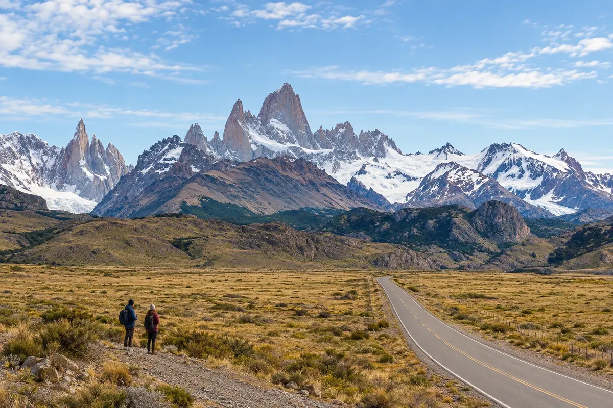
Between Lago Argentino and Lago Viedma, RN 40 links the steppe to the access roads for El Calafate and El Chaltén.
Na fotografiji: Fitz Roy seen from the access road to El Chaltén
Illustrative images. The pictures in this guide are illustrations based on the real place, not photographs, and may differ from it.


Pot
From El Calafate to El Chaltén – predstavitev
El Calafate sits on the southern shore of Lago Argentino and is the main air gateway for this route. The road exit reaches RN 40, which continues north across the steppe. Tours to Perito Moreno and other parts of the park require separate time, in addition to travel between the towns.
The route passes through the area of the La Leona river, which links Lakes Viedma and Argentino. La Leona is a steppe spot by the river. Leaving RN 40 to the west, the access road to El Chaltén follows the northern shore of Lago Viedma and approaches the mountain range.
El Chaltén lies on the río de las Vueltas and in the northern sector of Los Glaciares. The Fitz Roy area is known for hikes that start in the village or nearby trailheads. Lago del Desierto is north of El Chaltén, at the end of an unpaved road that follows the río de las Vueltas. Visiting it requires a round trip through that valley. Plan nights in both towns to separate driving, viewpoints and hikes; mountain views depend on the day’s weather.
Zemljevid
Število mest na poti: 2
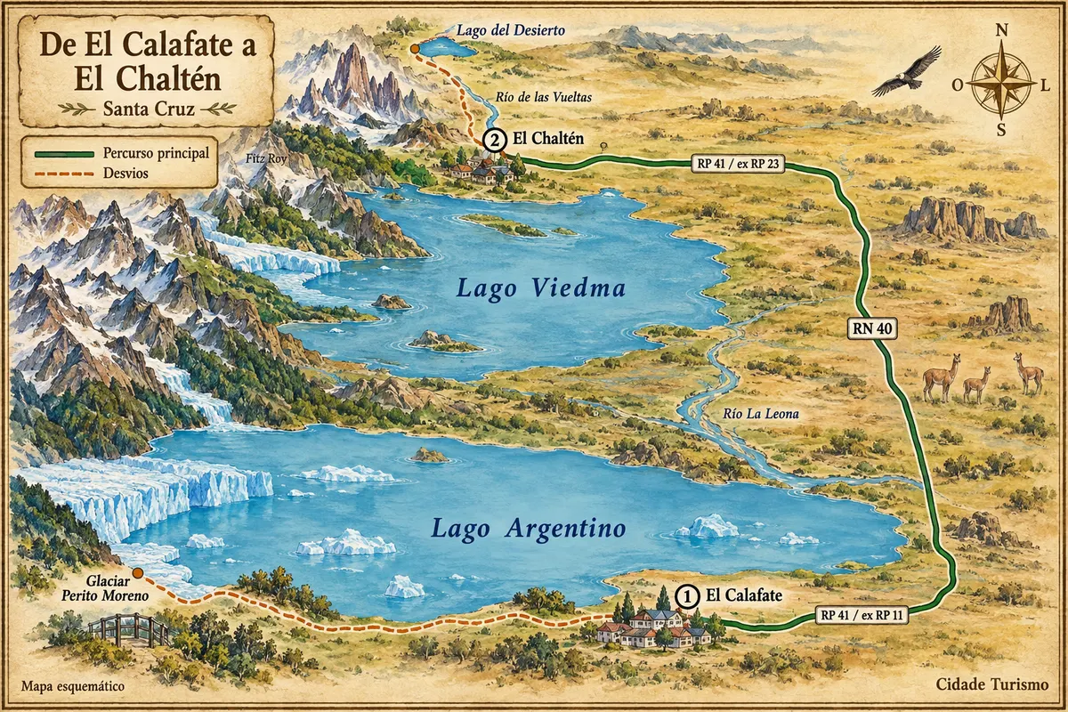
Vir: Instituto Geográfico Nacional de la República Argentina (IGN), obrisi iz leta 2019. Priredba: Cidade Turismo.
Potek poti
Od mesta do mesta
Razdalje in časi so okvirni. Preverite jih pred odhodom.
-
 1 · Holy Cross
El Calafate
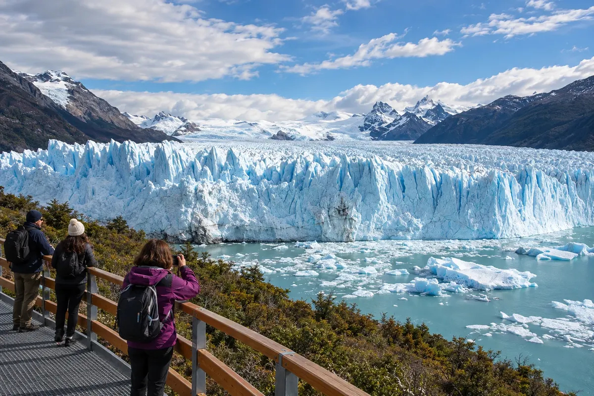
On the shore of Lago Argentino, El Calafate has an airport, accommodation and transport services. The walkways at Perito Moreno and boat tours require separate departures; Laguna Nimez and the Glaciarium can fill time close to the town base.
→ El Chaltén približno 220 km Head east on RP 11, then north on RN 40 passing La Leona, and turn west onto RP 23 along the northern shore of Lago Viedma. The connection is paved. Perito Moreno and Lago del Desierto have separate access routes, with round trips from Calafate and Chaltén.
-
 2 · Holy Cross
El Chaltén
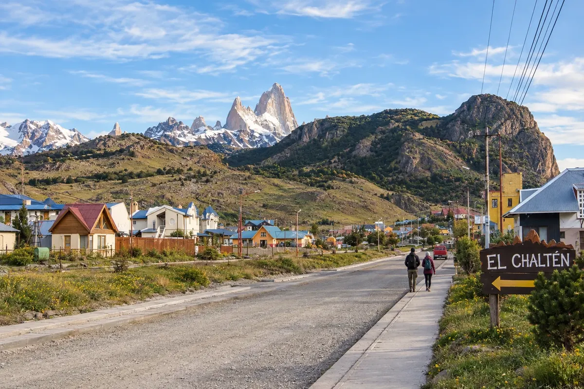
El Chaltén is on the río de las Vueltas, in the northern area of Los Glaciares. Trails to Laguna de los Tres and Laguna Torre each require a full day, while the Mirador de los Cóndores offers a shorter walk. Staying in town helps you choose hikes based on the weather.
Koliko dni
Allow five to seven days for both towns, allocating time for driving, hikes and detours to Perito Moreno and Lago del Desierto.
Najboljši čas za obisk
From October to April there is usually more tourist availability. From December to February there are longer daylight hours; wind and weather changes remain a factor. Between May and September, cold, ice and snow can affect roads and hikes.
The seasons shown are the most usual ones; nature doesn't always follow the calendar.
Kako prepotovati pot
A car or transfer lets you choose stops along the route; regular buses connect the two towns. Fuel up and carry water and food before departing, as services are not continuous across the steppe. Check access conditions and arrange transport for trails separately.
Komu je pot namenjena
Travelers who want to combine glaciers, steppe scenery and mountain hiking, staying overnight in two Patagonian bases. Scenic tours and long trails require different choices of time and effort.
Odgovori na vaša vprašanja
Pogosta vprašanja – From El Calafate to El Chaltén
Is the connection between the towns fully paved?
The access roads and the RN 40 segment are paved. Turnoffs to attractions and routes beyond El Chaltén are different journeys with their own conditions.
What do you encounter along the way between the two bases?
The stretch crosses the steppe and the La Leona river area. Lago Argentino lines the exit from Calafate, while the approach to Chaltén follows the northern shore of Lago Viedma.
Do you need to rent a car?
There are buses and transfers between the towns. A car lets you choose stops, but it is not necessary to link the two bases.
Can you do the drive and a long hike on the same day?
Set aside dedicated days for the longer hikes. Driving between the towns and stopping along the way takes up part of the day.
Which period usually favors the itinerary?
From October to April there is usually greater tourist availability. From December to February there are longer daylight hours, but wind and weather changes remain part of the planning.
Več kot vodnik


