Kolesarska in pešpot
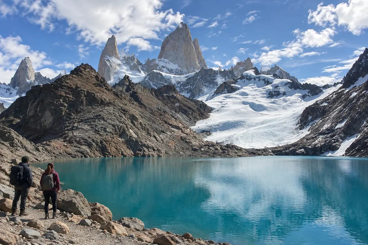
Laguna de los Tres
Mountain hike to a glacial lake near the Fitz Roy massif, with a steeper climb in the final section.

 Išči
 Brazilija
 AntarktikaArgentina
 Bolivija
 Čile
 Kolumbija
 Ekvator
 Gvajana
 Francoska Gvajana
 Falklandski otoki (Malvini)
 Paragvaj
 Peru
 Surinam
 Urugvaj
 Venezuela
 Nemčija
 Avstrija
 Belgija
 Hrvaška
 Danska
 Slovaška
 Slovenija
 Španija
 Finska
 Francija
 Grčija
 Nizozemska
 Madžarska
 Irska
 Islandija
 Italija
 Luksemburg
 Norveška
 Poljska
 Portugalska
 Združeno kraljestvo
 Češka
 Švedska
 Švica
 Turčija
 Bermudi
 Kanada
 Združene države Amerike
 Grenlandija
 Mehika
 Sveta Peter in Mihael
 Dominikanska republika
 JaponskaTurčija
 Južnoafriška republika
 Egipt
 Avstralija
 Fidži
 Nova Zelandija
 Papua Nova Gvineja
Santa Cruz · Argentina
Destinacija: El Calafate and El Chaltén.
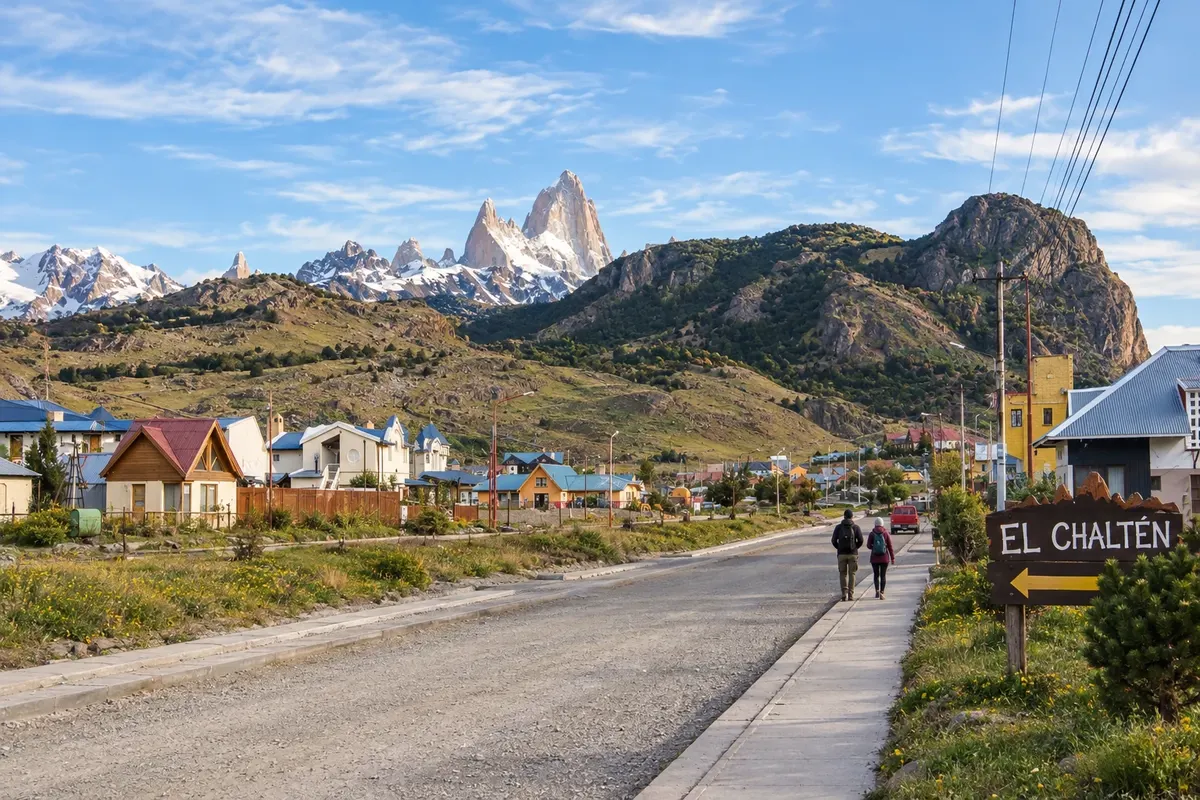
Na fotografiji: El Chaltén and the Fitz Roy massif
Illustrative images. The pictures in this guide are illustrations based on the real place, not photographs, and may differ from it.
Mesto
El Chaltén is located at the confluence of the Fitz Roy and de las Vueltas rivers, near the northern sector of Los Glaciares. The town is a base for hikes to Laguna de los Tres and Laguna Torre. Chorrillo del Salto and Mirador de los Cóndores offer shorter route options. The pace of your stay depends on the routes chosen and mountain conditions.
V vodniku še ni nastanitev – El Chaltén.
kako do tja · koliko dni · načrt poti · vprašanja
Doživite kraj
Mountain hike to a glacial lake near the Fitz Roy massif, with a steeper climb in the final section.
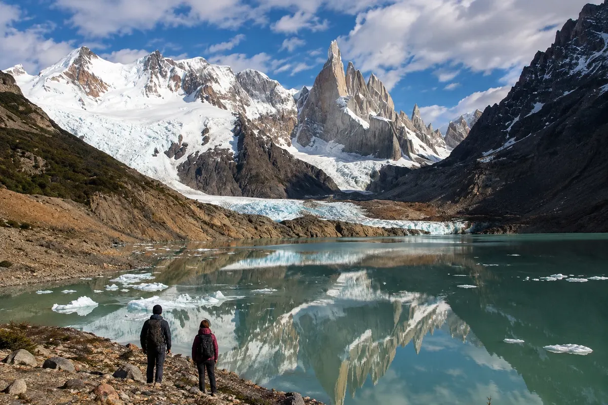
Route through the valley of the río Fitz Roy to the lake in front of the Cerro Torre glacial system.
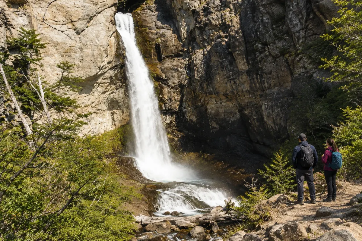
Waterfall surrounded by forest near El Chaltén, with a final approach on foot and the possibility of driving close by.
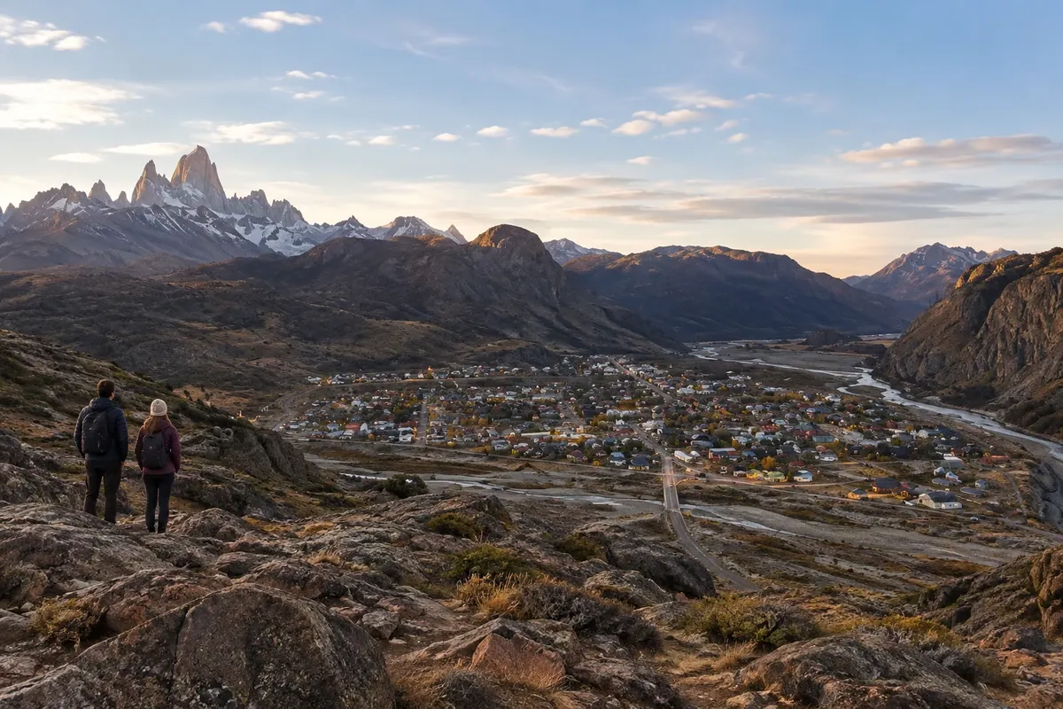
Short climb near the entrance to El Chaltén, with views over the town, the valleys, and the mountain massifs.
Pred odhodom
El Chaltén – Holy Cross Destinacija El Calafate and El Chaltén
Razdalje so približne. Pred potovanjem preverite lete in vozne rede avtobusov, vlakov ali ladij.
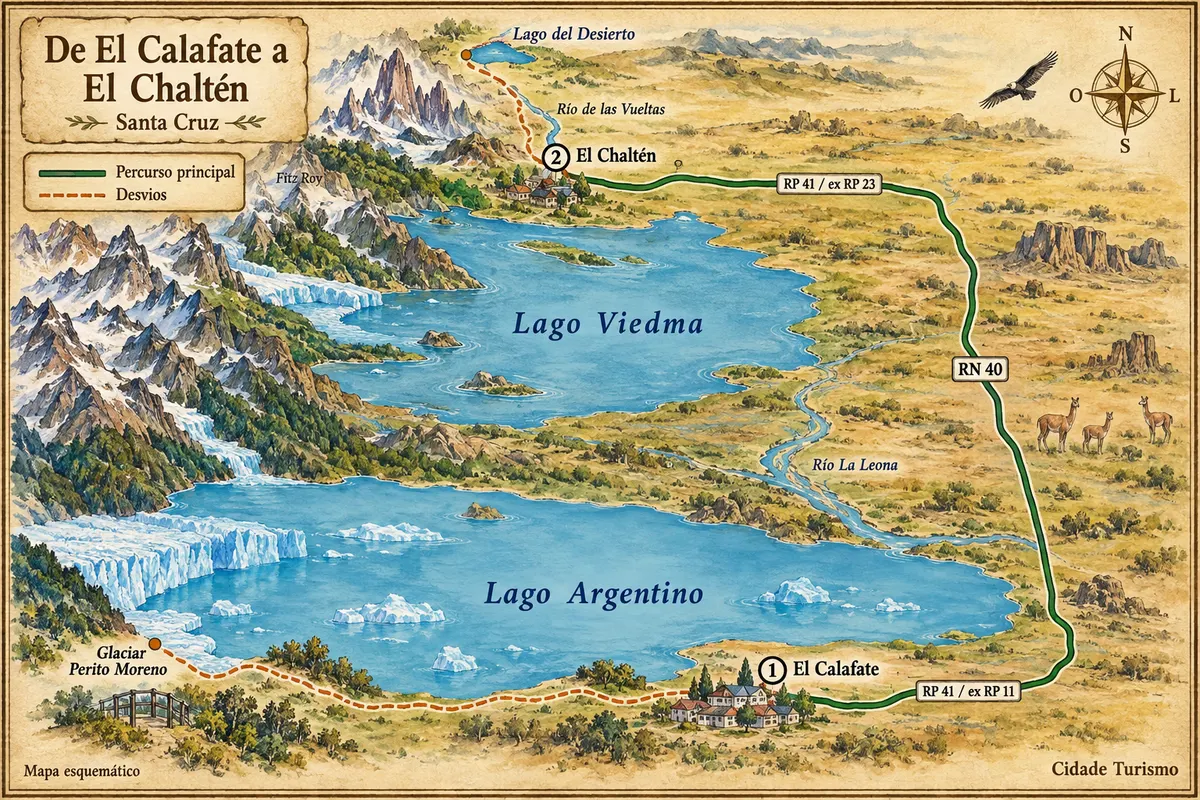
The road from El Calafate is about 220 km. Check services and avoid relying on an overland connection very close to your landing.
Three or four days allow time for two long hikes on separate days and a short visit. With only one day, choose Chorrillo del Salto or Mirador de los Cóndores, rather than trying to combine all the trails.
From November to March days are usually longer and services are concentrated in the hiking season. Between May and September snow and ice can alter the trails. Clouds and wind also occur between December and February; adjust your outing to the conditions.
The seasons shown are the most usual ones; nature doesn't always follow the calendar.
Several routes start close to town and can be organized without a car. A vehicle helps with more remote access points, but does not shorten the walking portion of the trails. Use accommodation and transport compatible with the outing you choose.
Predlog poti
Pot povezuje znamenitosti na tej strani. Za oglede boste imeli dovolj časa.
Walk through the forest to the waterfall, or drive to the parking area and complete the final section on foot.
Return for a meal and adjust the rest of the day according to the weather and how you feel.
Make the short climb from the area near the visitor center, leaving enough daylight to return.
Check the terrain, prepare water and food, and choose a trail suitable for the group.
Check before you go. Opening hours and days change, and places may close for renovations, holidays or events. This itinerary is a suggestion from Cidade Turismo, not a commitment: plan yours by checking directly with each place you intend to visit.
Pred odhodom
The air arrival used in this itinerary is El Calafate. The final leg to El Chaltén is by road.
No. Chorrillo del Salto and Mirador de los Cóndores are shorter options, though they still require appropriate footwear and clothing.
They are long hikes. For a tourist stay, separate the routes into different days and allow time to rest between them.
You should not base your itinerary on that expectation. Between November and March there is more daylight, but clouds and wind remain possible.
Poti – in Argentina
Between Lago Argentino and Lago Viedma, RN 40 links the steppe to the access roads for El Calafate and El Chaltén.
Več kot vodnik