

 Brazil
 Argentina
 Chile
Chile Colombia
 Peru
Peru Uruguay
 Germany
 Belgium
 Spain
Spain France
 Greece
 the Netherlands
 Ireland
 Italy
Italy Luxembourg
 Portugal
 Switzerland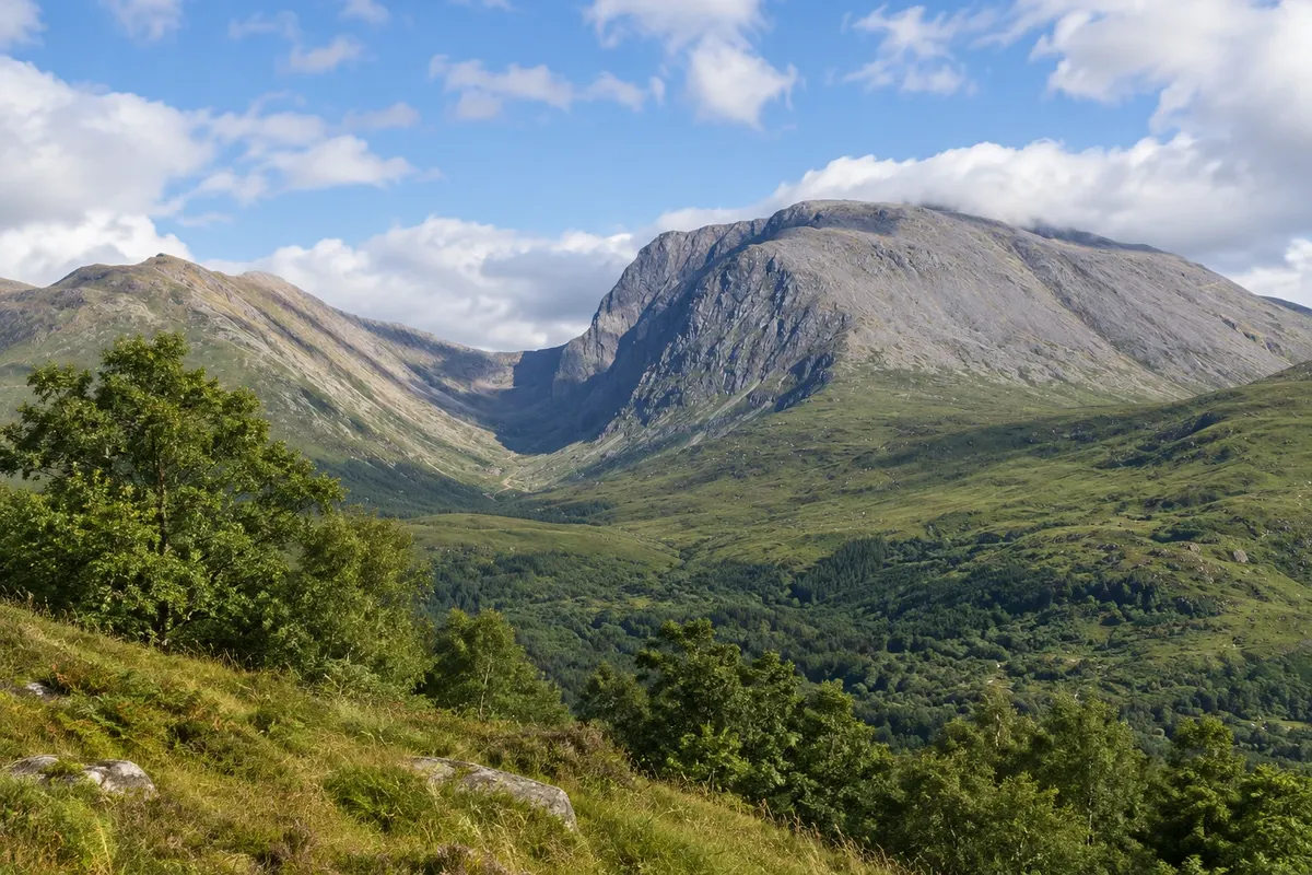
Mountain · Fort William, Escócia
Ben Nevis
The highest mountain in the United Kingdom at 1,345 metres, above Fort William, with the Mountain Track route to the summit and the valley of Glen Nevis at its feet.
Illustrative images. The pictures in this guide are illustrations based on the real place, not photographs, and may differ from it.

Discover
About Ben Nevis
Ben Nevis is the highest mountain in the British Isles, at 1,345 metres, and lies east of Fort William at the western end of the Grampian Mountains. It is the remnant of an ancient volcano, worn down by glaciers. The north face has cliffs of about 600 metres, used by climbers; the west side, gentler, is where the main path climbs.
The Mountain Track, also called the Pony Track, starts at the Glen Nevis visitor centre and climbs in zigzags to the summit, about 17 km round-trip with 1,300 metres of ascent. The climb takes 7 to 9 hours in total. On the top are the ruins of a meteorological observatory that operated from 1883 to 1904 and an emergency shelter. The summit often lies in cloud, and there can be snow even in early summer.
Those who don't want to go to the top can walk through the Glen Nevis valley, one of the most beautiful in Scotland, to the Steall waterfall via a gorge path of about 2 km from the end of the road. On the other side, in the Nevis Range, a gondola usually goes up the flank of the neighbouring Aonach Mòr to about 650 metres, with views of Ben Nevis.
The ascent to the summit requires fitness, waterproof and warm clothing, a map and up-to-date weather information; conditions change quickly. Check the mountain forecast before you go.
Before you go
Practical information
Cidade Turismo reviews its information regularly, but something may have changed. Check with the place before planning your trip.
How much time to set aside
7 to 9 hours to ascend and descend the summit. The trail to the Steall waterfall takes about 1h30 round-trip.
Best time
June to September, when the path is usually snow-free and days are long. Start early in the morning. If there is low cloud and strong wind, leave it for another day and do the Glen Nevis valley instead.
How to get there
The Glen Nevis visitor centre is about 3 km from Fort William town centre, where the Mountain Track begins. Local buses run up the glen in summer. The Nevis Range gondola is about 10 km north of town.
Tip
If the weather is poor on the high ground, swap the summit for the walk to the Steall waterfall at the end of Glen Nevis. Take water, food, a waterproof jacket and warm clothing even in summer.
Official website
Get your questions answered
Frequently asked questions about Ben Nevis
How high is Ben Nevis?
1,345 metres, the highest mountain in the United Kingdom.
How long does the climb take?
7 to 9 hours return, via the Mountain Track, about 17 km.
Is experience required to climb?
It requires good fitness, appropriate clothing and awareness of the weather, which changes quickly. The main path does not involve technical climbing.
What to do if you don't climb to the summit?
Walk through Glen Nevis to the Steall Falls or take the Nevis Range gondola for views of the mountain.