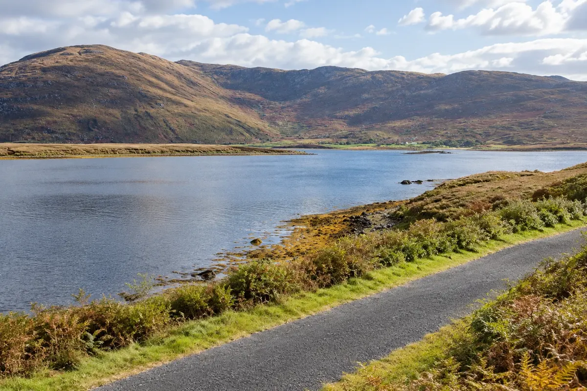
The counties of Mayo and Sligo occupy the northwest of Ireland, along the Wild Atlantic Way, the west coast road. It is a region of bays open to the Atlantic, isolated mountains, bogs and surf beaches, quieter than the southwest and with a past tied to the Great Famine, which emptied the countryside in the 19th century.
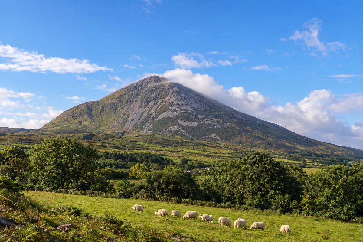
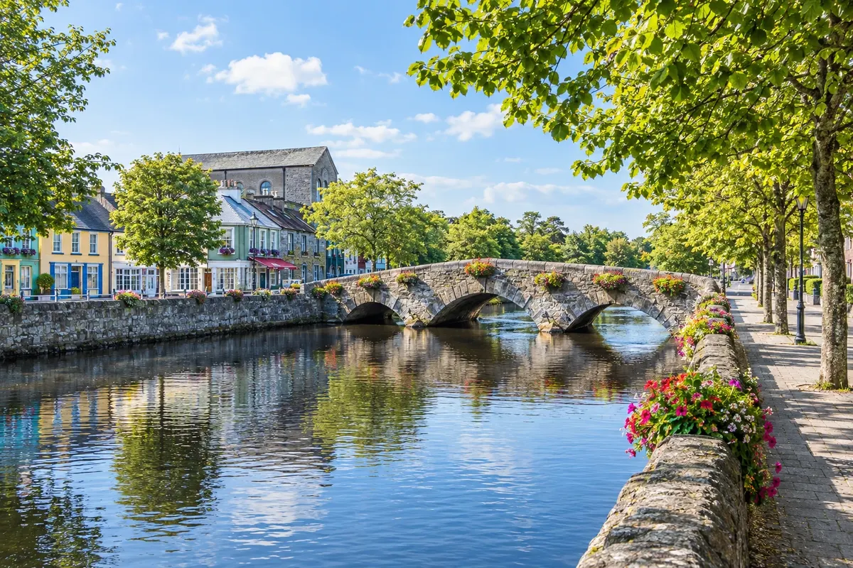
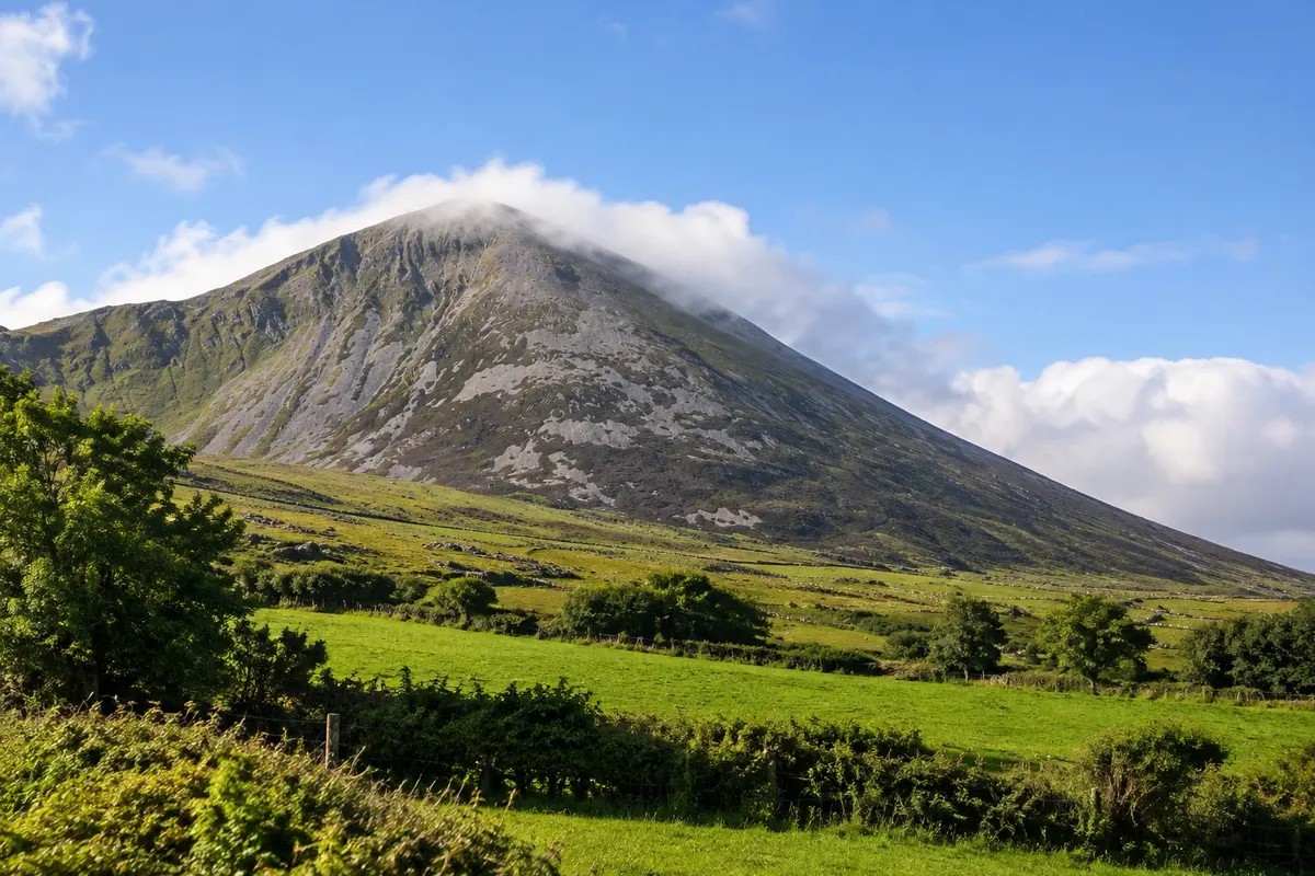
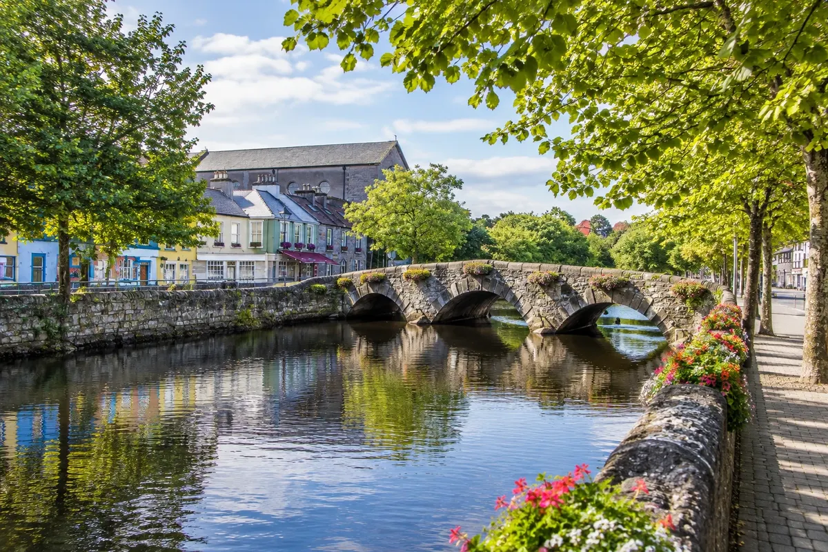
Westport, at the head of Clew Bay, is an 18th-century planned town, with the Mall by the Carrowbeg River, the Octagon square and shopping streets with colorful facades. Tradition says the bay has an island for every day of the year. Across it rises Croagh Patrick, a 764 m mountain where, by tradition, Saint Patrick fasted for 40 days in the 5th century; on the last Sunday of July thousands of pilgrims climb to the summit. At the foot of the mountain, in Murrisk, stands the National Famine Memorial, a bronze ship with skeletons.
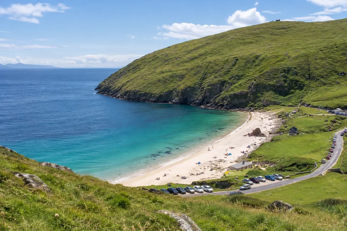
From Westport the Great Western Greenway departs, a cycle path of about 42 km along the old railway, passing Newport and Mulranny and reaching Achill, Ireland's largest island, connected to the mainland by a bridge. Achill has cliffs, Keem Bay and the abandoned village of Slievemore.
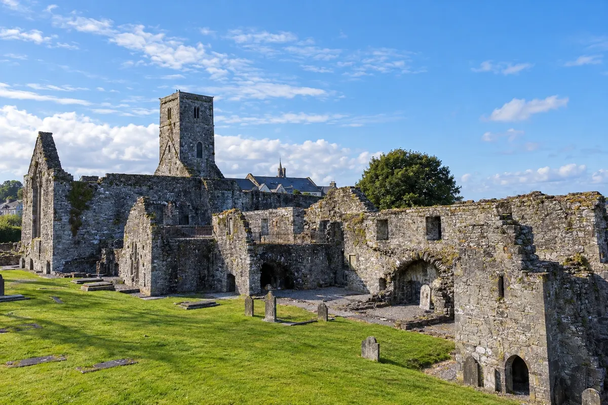
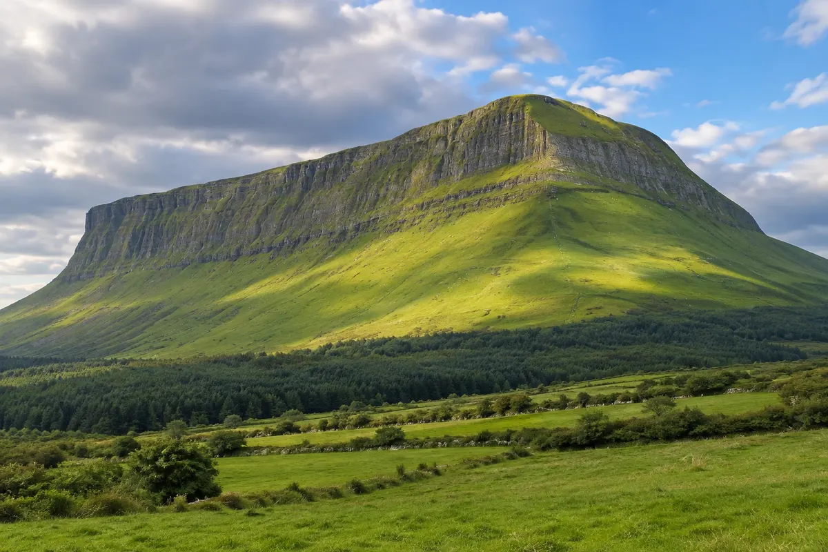
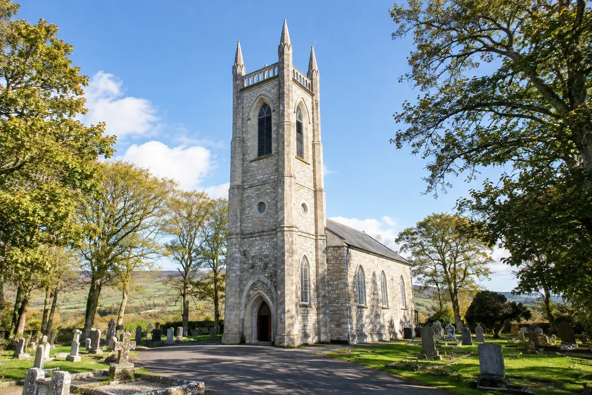
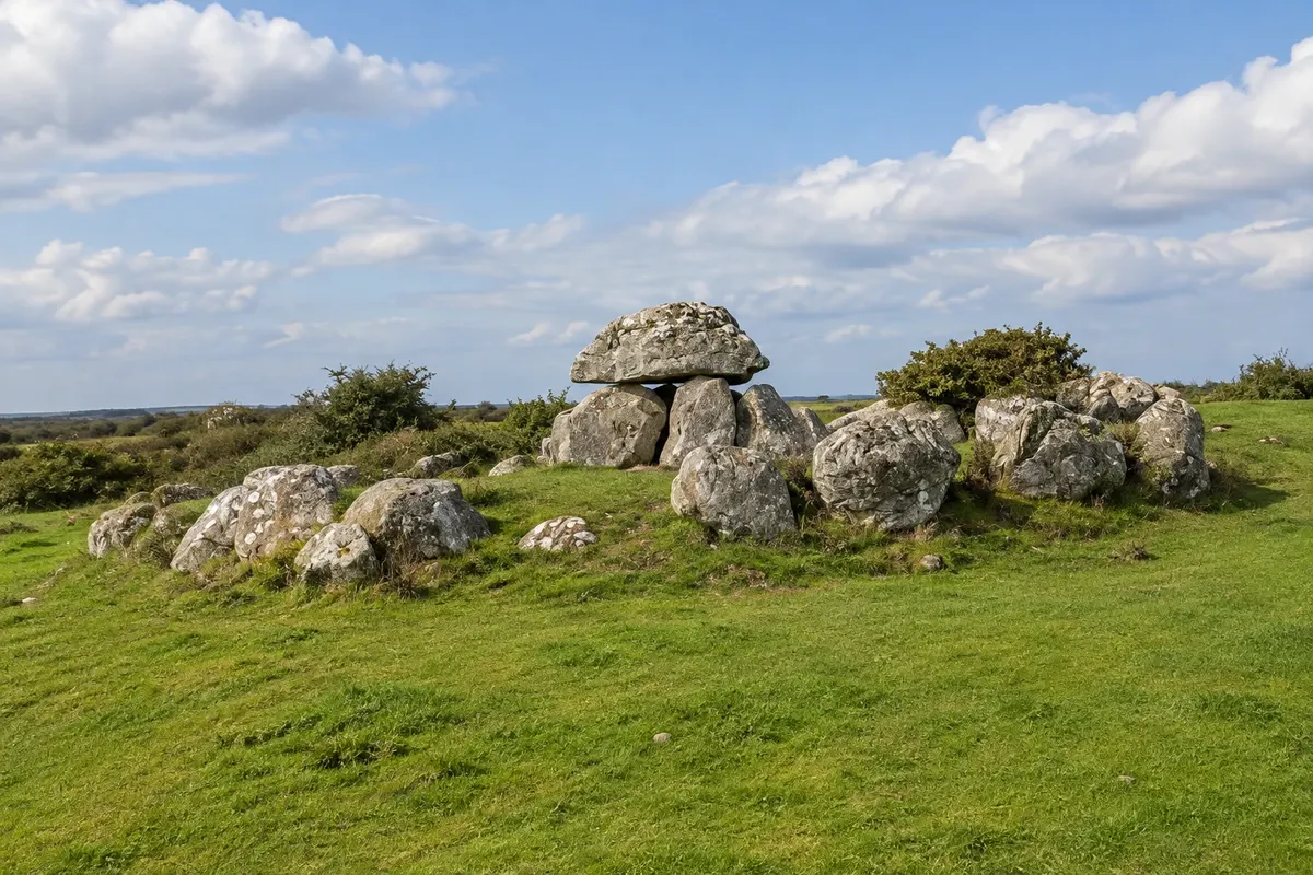
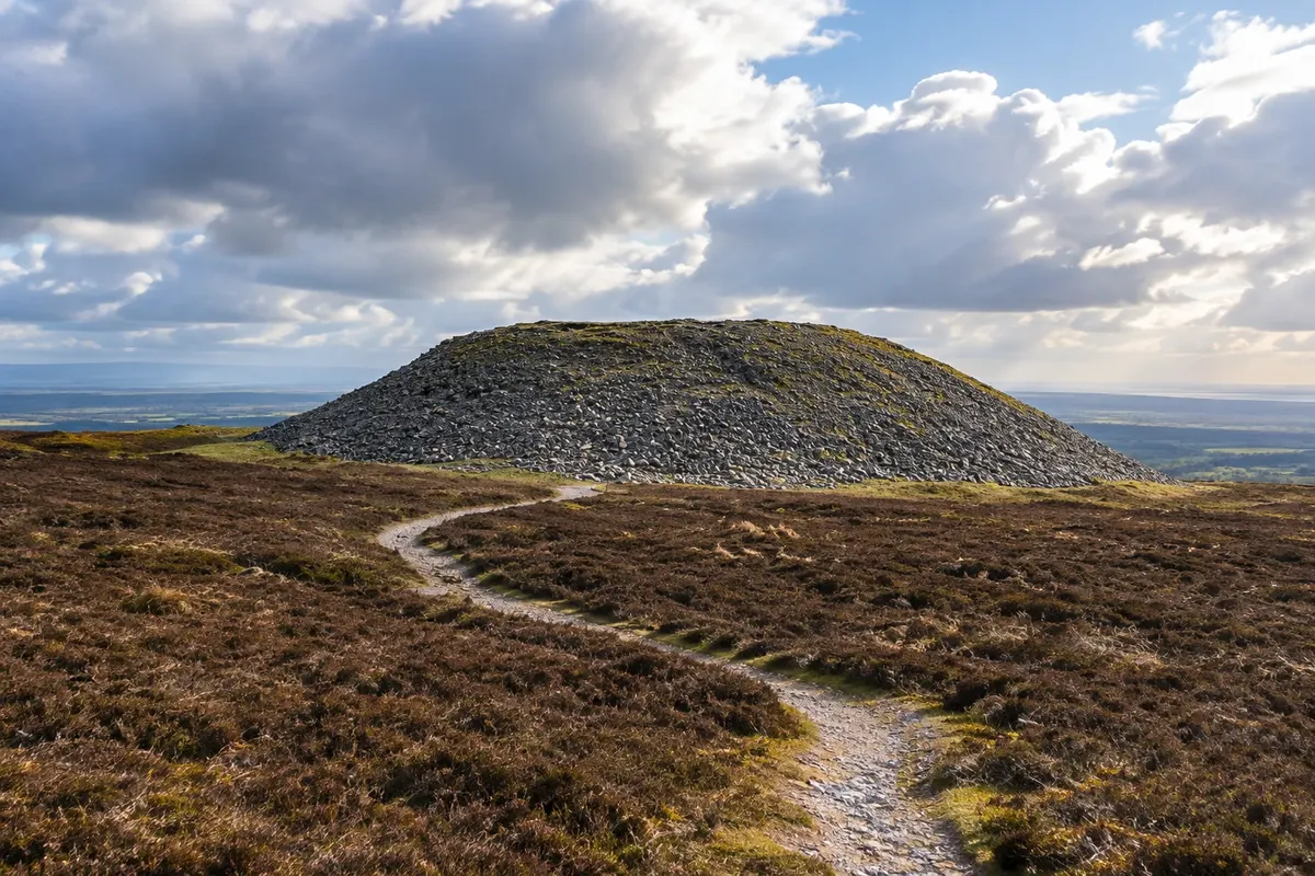
To the north, Sligo is the town of the poet W. B. Yeats, who spent his childhood holidays in the area and is buried in Drumcliff, at the foot of Benbulben, the flat-topped mountain that dominates the landscape. Near the town are the Neolithic tombs of Carrowmore, Knocknarea with the stone tomb attributed to Queen Maeve and the beaches of Strandhill. It rains a lot in the northwest, and the Atlantic wind is strong at any time of year.
This destination brings together 2 cities: Westport, Sligo.


 Brazil
 Argentina
 Chile
Chile Colombia
 Peru
Peru Uruguay
 Germany
 Belgium
 Spain
Spain France
 Greece
 the Netherlands
 Italy
Italy Luxembourg
 Portugal
 the United Kingdom
 Switzerland