

 Brazil
 Argentina
 Chile
Chile Colombia
 Peru
Peru Uruguay
 Germany
 Belgium
 Spain
Spain France
 Greece
 the Netherlands
 Italy
Italy Luxembourg
 Portugal
 the United Kingdom
 Switzerland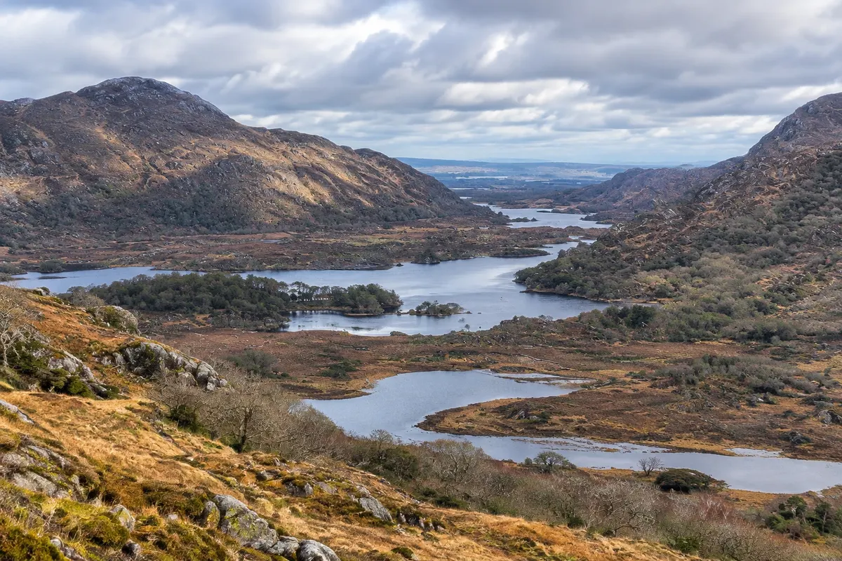
Viewpoint · Killarney, Kerry
Ring of Kerry
The roughly 180 km road that skirts the Iveragh Peninsula from Killarney, with views of the coast and islands, the villages of Cahersiveen, Waterville and Sneem, and the Ladies View overlooking the lakes.
Illustrative images. The pictures in this guide are illustrations based on the real place, not photographs, and may differ from it.

Discover
About Ring of Kerry
The Ring of Kerry is the roughly 180 km circuit that skirts the Iveragh Peninsula in southwest Ireland along the N70 and N71. It leaves Killarney, heads west via Killorglin and Glenbeigh, rounds the peninsula's tip via Cahersiveen and Waterville and returns along the south through Sneem and Kenmare, crossing the mountains at Moll's Gap back to Killarney. It's the country's best-known driving route.
Along the route you pass Dingle Bay and the peninsula opposite, beaches such as Rossbeigh, the island of Valentia (connected by a bridge at Portmagee), and on the horizon the Skellig islands with the monastery of Skellig Michael. Waterville, on the shore of Ballinskelligs Bay, was Charlie Chaplin's holiday spot and there is a statue of him on the waterfront. Sneem is a village of colourful houses clustered around two squares.
On the return, the Ladies View on the N71, 17 km from Killarney, looks out over the valley with the Killarney lakes and the mountains. The name comes from Queen Victoria's ladies-in-waiting, who admired the scenery during her 1861 visit. Nearby, Moll's Gap is the pass between Kenmare and Killarney.
Tour buses run anticlockwise, and drivers usually follow the same direction to avoid meeting them on narrow bends. For those wanting to avoid the traffic, there's the Skellig Ring, a smaller detour around the peninsula's tip, and the Valentia variant.
Before you go
Practical information
Cidade Turismo reviews its information regularly, but something may have changed. Check with the place before planning your trip.
How much time to set aside
A full day, 6 to 8 hours with stops; two to three days with an overnight stay in Cahersiveen, Waterville or Kenmare.
Best time
From May to September, when the days are long. Set out early, before the tour buses. Low cloud can hide the mountains and islands; check the forecast. July and August are the busiest months.
How to get there
The route starts and ends in Killarney. Day tours leave from the town centre. By car, drive to Killorglin on the N72 and follow the 'Ring of Kerry' signs. The Ladies View is on the N71, 17 km from Killarney.
Tip
Drive anticlockwise like the buses, and save Ladies View for late afternoon. Detour via Portmagee and the island of Valentia to see the Skelligs from a distance. In Ireland you drive on the left.
Get your questions answered
Frequently asked questions about Ring of Kerry
How long does the Ring of Kerry take?
6 to 8 hours with stops for the approximately 180 km. Those wanting to go slowly stay overnight en route.
Which direction should you do the Ring?
Anticlockwise, leaving Killarney via Killorglin, which is the direction tour buses take. That way you avoid meeting them on narrow bends.
Can you see the Skellig islands on the way?
Yes, from a distance, from the coast near Portmagee and from the island of Valentia on clear days. Boats to Skellig Michael run from Portmagee during parts of the summer, with limited places.
Where is Ladies View?
On the N71, about 17 km from Killarney, on the final stretch of the circuit, with views over the Killarney lakes.