

 Brazil
 Argentina
 Chile
Chile Colombia
 Peru
Peru Uruguay
 Germany
 Belgium
 Spain
Spain France
 Greece
 the Netherlands
 Italy
Italy Luxembourg
 Portugal
 the United Kingdom
 Switzerland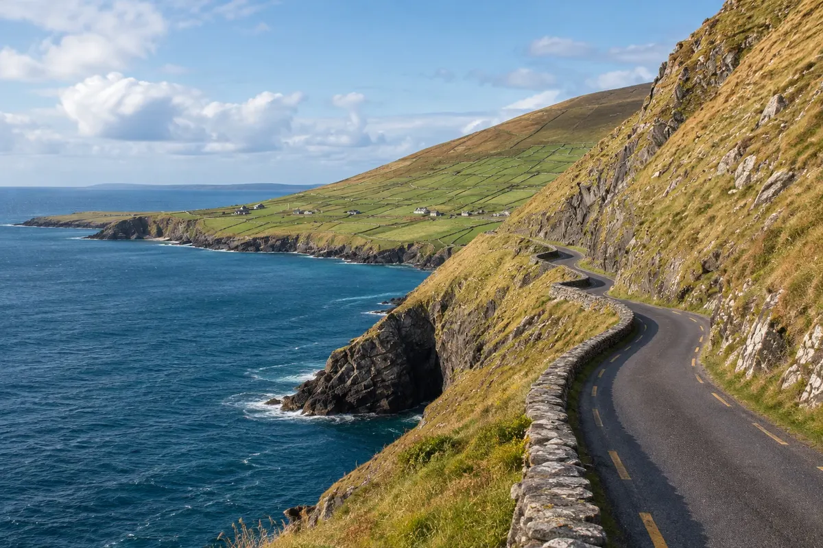
Viewpoint · Dingle, Kerry
Slea Head Drive
A roughly 47 km circuit from Dingle around the tip of the peninsula, featuring the Slea Head viewpoint, the Blasket Islands, pale sandy beaches, old stone houses and villages where Irish is spoken.
Illustrative images. The pictures in this guide are illustrations based on the real place, not photographs, and may differ from it.

Discover
About Slea Head Drive
The Slea Head Drive is the roughly 47 km circuit that leaves Dingle and skirts the western tip of the peninsula along the R559 road before returning to town. It is one of the westernmost points of Ireland and Europe, in a Gaeltacht area where signs are only in Irish. The recommended direction is clockwise, leaving towards Ventry.
The route passes Ventry beach, a horseshoe-shaped bay, and a stretch with hundreds of old stone buildings, including the clocháns at Fahan—beehive-shaped huts built without mortar—on farm land that charges a small entry fee to visit. Shortly after, the Slea Head viewpoint, with a crucifix at the roadside, offers views of the Blasket Islands and the Atlantic.
The Blasket Islands were inhabited until 1953, when the last residents were moved to the mainland. The Great Blasket community left memoirs in Irish that are classics of the country's literature, and the Blasket Centre in Dunquin tells that story with a view of the islands. Nearby, Coumeenoole beach sits between rocks, and the Dunquin pier winds down to the sea, from where boats go to the Great Blasket in season.
On the return, the road runs along the north of the peninsula, through Ballyferriter and the Gallarus area, before coming back to Dingle. The road is narrow and for several stretches runs right along the cliff edge, with two-way traffic and tour buses.
Before you go
Practical information
Cidade Turismo reviews its information regularly, but something may have changed. Check with the place before planning your trip.
How much time to set aside
About 3 to 4 hours by car with stops; a full day by bike or if you include the Blasket Centre and Gallarus.
Best time
On clear days, in the morning or late afternoon. From May to September boats to the Great Blasket operate and the Blasket Centre is fully open. In fog, the view of the islands disappears.
How to get there
Leave Dingle town centre on the R559 towards Ventry, following signs for "Slea Head Drive" or "Ceann Sléibhe". The Slea Head viewpoint is about 17 km from Dingle. There are minibus tours and bike rentals in town.
Tip
Do the circuit clockwise, which is recommended, and stop at the Blasket Centre in Dunquin to learn the islands' history. Do not stop your car on the bends: use pull-outs and the viewpoint car parks.
Get your questions answered
Frequently asked questions about Slea Head Drive
Which direction should you do the Slea Head Drive?
Clockwise, leaving Dingle for Ventry. It's the direction indicated on the signs and followed by tour buses.
How long does the circuit take?
About 3 to 4 hours by car with stops, for roughly 47 km. By bicycle, a full day, with climbs.
Can you visit the Ilhas Blasket?
In season, boats run from the quay at Dunquin and from Dingle to the Great Blasket, depending on the sea. The island has had no residents since 1953.
What are the stone huts of Fahan?
Clocháns, ancient beehive-shaped structures built of stone without mortar. They stand on farm land by the roadside, where a small entrance fee is charged.