Donegal is the county at the far northwest of Ireland, in the historic province of Ulster, but part of the Republic. It is almost entirely bordered by the Atlantic and by the border with Northern Ireland, and is one of the largest and least populated counties in the country. The landscape is made up of granite and quartzite mountains, peat bogs, lakes, high cliffs and long beaches, along the northern stretch of the Wild Atlantic Way. Much of the county is Gaeltacht, where Irish is spoken.
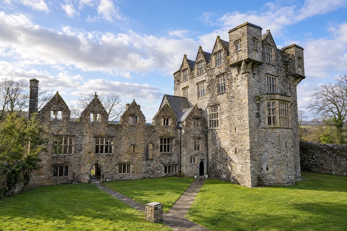
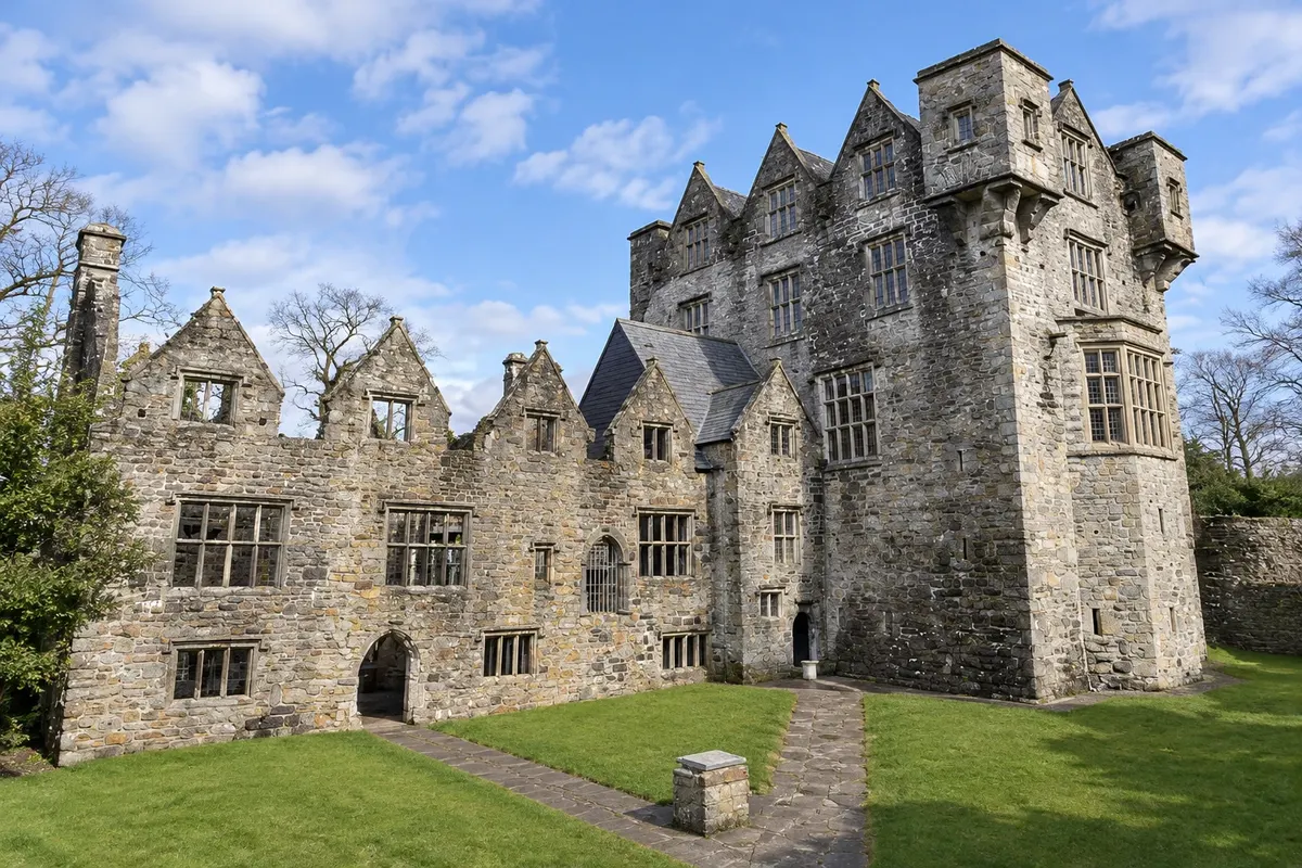
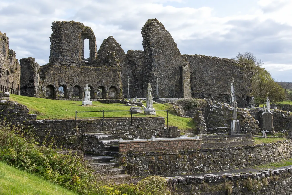
The town of Donegal sits at the head of Donegal Bay, at the mouth of the River Eske. It was the seat of the O'Donnells, chiefs of the clan that dominated the region until the early 17th century, and it preserves their 15th-century castle, with a 17th-century house added by the English, and the ruins of a Franciscan convent on the estuary. The centre revolves around the triangular square called The Diamond.
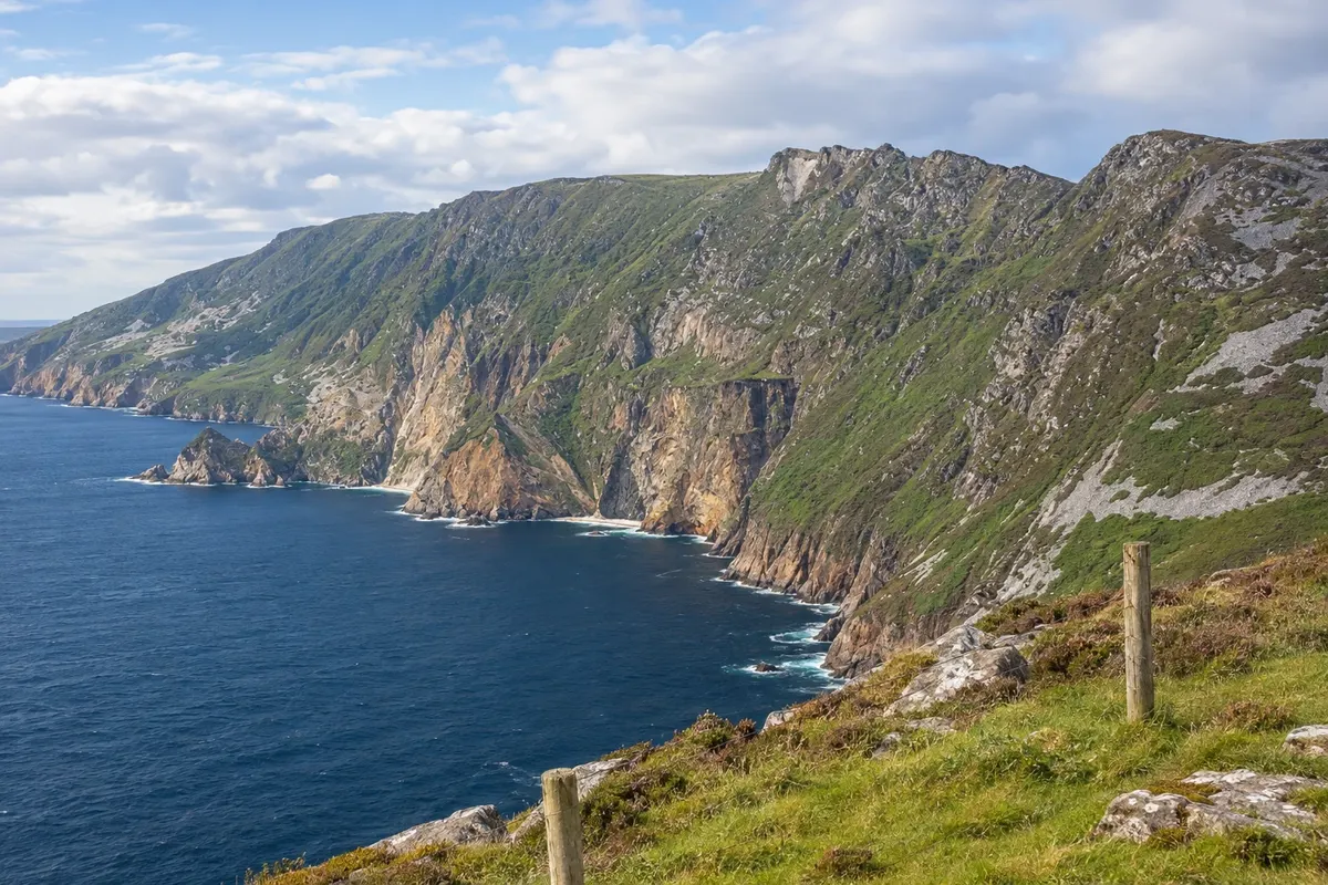
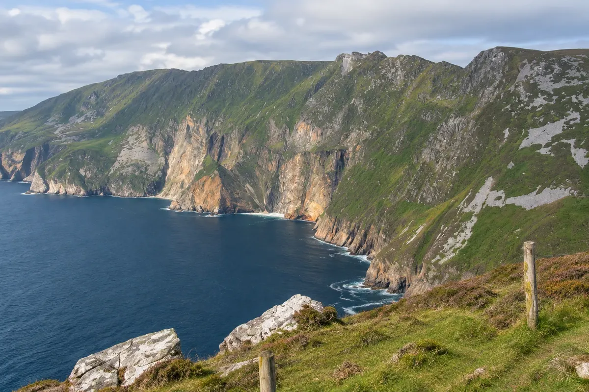
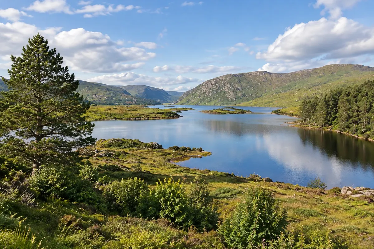
West of the town, on the Teelin peninsula, lie the Slieve League cliffs, Sliabh Liag in Irish, which drop about 600 metres to the sea and are among the highest in Europe. From the Bunglass viewpoint you can see the cliff face in rust, green and grey colours above the Atlantic. In the northern interior of the county, Glenveagh National Park occupies a mountain valley with a long lake, woodlands and a 19th‑century castle with gardens.
Belfast and the Calçada dos Gigantes are on the other side of the border, in Northern Ireland, about two hours by car. The weather changes quickly and the wind is strong in any season.
This destination brings together 1 city: Donegal.


 Brazil
 Argentina
 Chile
Chile Colombia
 Peru
Peru Uruguay
 Germany
 Belgium
 Spain
Spain France
 Greece
 the Netherlands
 Italy
Italy Luxembourg
 Portugal
 the United Kingdom
 Switzerland