

 Brazil
 Argentina
 Chile
Chile Colombia
 Peru
Peru Uruguay
 Germany
 Belgium
 Spain
Spain Greece
 the Netherlands
 Ireland
 Italy
Italy Portugal
 the United Kingdom
 Switzerland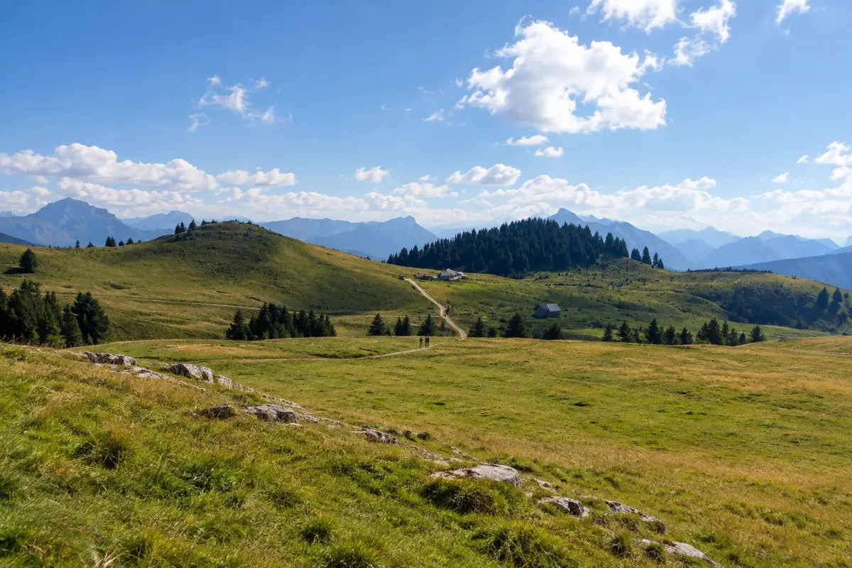
Observation deck · Annecy, Auvérnia-Ródano-Alpes
Le Semnoz
Mountain of about 1,700 metres south of Annecy, with a road to the summit and views of the lake, the Alps and, on a clear day, Mont Blanc.
Illustrative images. The pictures in this guide are illustrations based on the real place, not photographs, and may differ from it.

Discover
About Le Semnoz
The Semnoz is a mid‑altitude mountain on the northern edge of the Bauges massif, just south of Annecy. Its highest point, the Crêt de Châtillon, is around 1,700 metres, and the mountain stretches about 16 km.
A road climbs close to the summit, and from there a short walk leads to the viewpoint. On clear days you can see the entire Lac d'Annecy, the Alpine chain and Mont Blanc to the east, as well as the Bauges massif to the south.
In summer (June to September) the Semnoz is used for easy hikes and cycling; in winter it has a small ski area and snowshoe trails when there is snow. The road may have restrictions in winter.
Before you go
Practical information
Cidade Turismo reviews its information regularly, but something may have changed. Check with the place before planning your trip.
How much time to set aside
2 to 3 hours, including the drive up.
Best time
From June to September, on clear days. Clouds can hide the view; check the forecast before you go up.
How to get there
By car, about 40 minutes from Annecy via the road that climbs through the forest. Without a car, access is difficult except by organized tours or seasonal buses.
Tip
Bring a warm layer: at the top the temperature is much lower than at lake level. There are farms along the road selling local cheese.
Get your questions answered
Frequently asked questions about Le Semnoz
Can you see Mont Blanc from the Semnoz?
On a clear day, yes — to the east. Clouds can hide the view.
Do you need a car?
In practice, yes. Public transport is limited or only seasonal.
Is there a difficult trail?
From the parking lot to the viewpoint it's a short, easy walk.