

Jezero
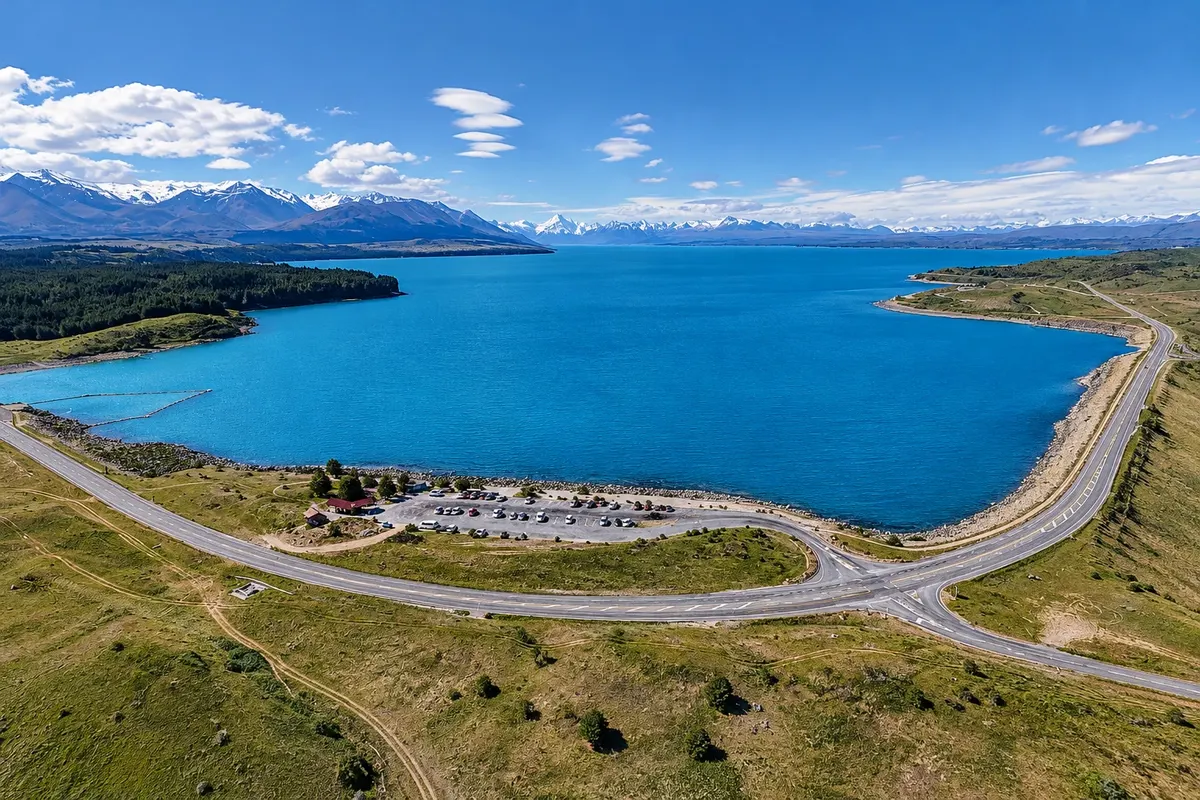
Lake Pukaki
Glacial lake of 178.7 km², milky-blue in color, with views to Aoraki/Mount Cook about 70 km to the north. Visitor centre on the south shore, about 7 km from Twizel.

 Išči
 Brazilija
 Antarktika
 Argentina
 Bolivija
 Čile
 Kolumbija
 Ekvator
 Gvajana
 Francoska Gvajana
 Falklandski otoki (Malvini)
 Paragvaj
 Peru
 Surinam
 Urugvaj
 Venezuela
 Nemčija
 Avstrija
 Belgija
 Hrvaška
 Danska
 Slovaška
 Slovenija
 Španija
 Finska
 Francija
 Grčija
 Nizozemska
 Madžarska
 Irska
 Islandija
 Italija
 Luksemburg
 Norveška
 Poljska
 Portugalska
 Združeno kraljestvo
 Češka
 Švedska
 Švica
 Turčija
 Bermudi
 Kanada
 Združene države Amerike
 Grenlandija
 Mehika
 Sveta Peter in Mihael
 Dominikanska republika
 JaponskaTurčija
 Južnoafriška republika
 Egipt
 Avstralija
 FidžiNova Zelandija
 Papua Nova Gvineja
Canterbury · Nova Zelandija
Destinacija: Aoraki / Mount Cook and Tekapo.
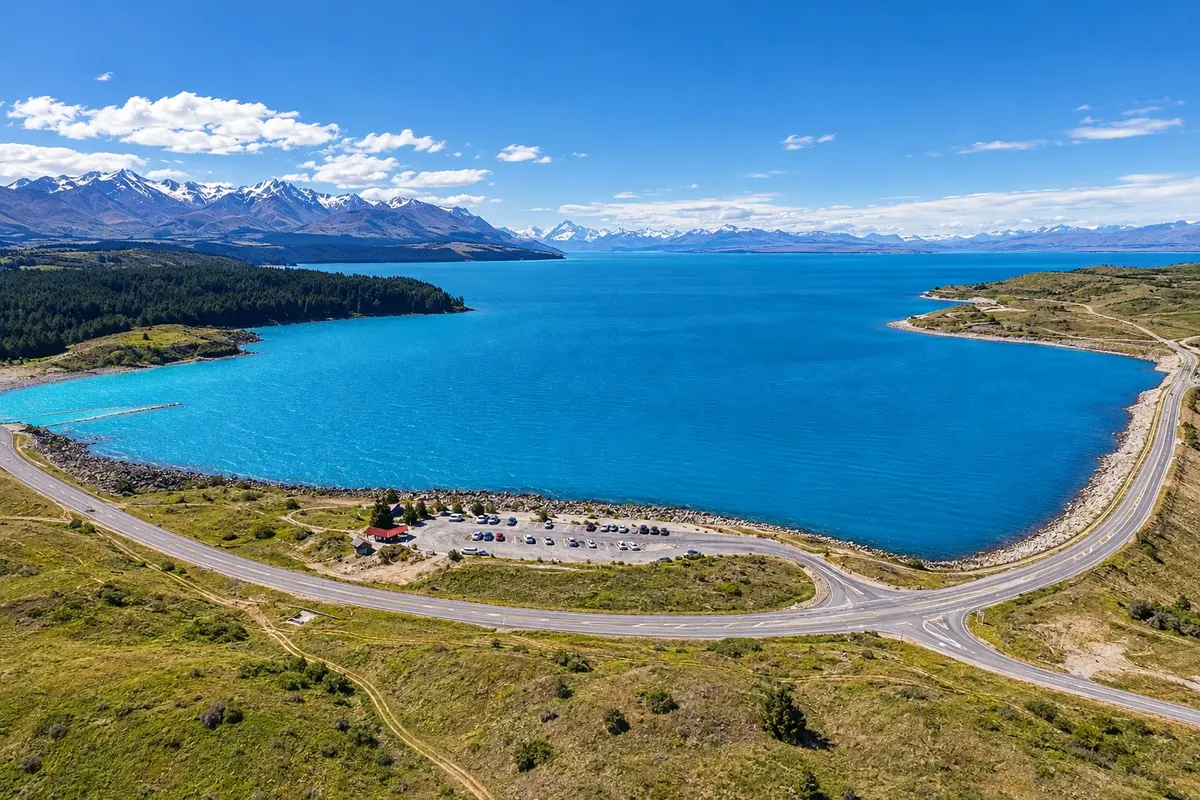
Na fotografiji: Lake Pukaki and the south shore near Twizel
Illustrative images. The pictures in this guide are illustrations based on the real place, not photographs, and may differ from it.
Mesto
Twizel is the largest town on the Mackenzie Plateau, with about 1,800 residents, established in 1968 to house workers for the upper Waitaki hydroelectric schemes. It lies about 7 km from Lake Pukaki and is a lower-cost base for Aoraki/Mount Cook, with a market, service stations and accommodation. To the south are the Omarama clay cliffs.
V vodniku še ni nastanitev – Twizel.
kako do tja · koliko dni · načrt poti · vprašanja
Doživite kraj
Glacial lake of 178.7 km², milky-blue in color, with views to Aoraki/Mount Cook about 70 km to the north. Visitor centre on the south shore, about 7 km from Twizel.
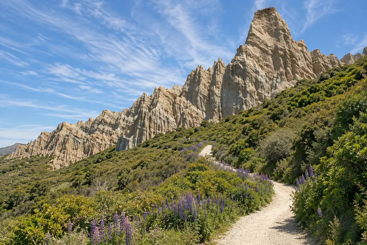
Towers and cliffs of gravel and clay sculpted by erosion, near Omarama about 40 km from Twizel. A short trail runs between the formations on private land.
Pred odhodom
Twizel – Canterbury Destinacija Aoraki / Mount Cook and Tekapo približno 285 km stran (izhodišče: Christchurch)
Razdalje so približne. Pred potovanjem preverite lete in vozne rede avtobusov, vlakov ali ladij.
It’s on Highway 8, about 60 km from Tekapo and 65 km from the village of Aoraki/Mount Cook. Long-distance buses between Christchurch and Queenstown stop in town, and there are buses to the park village. Queenstown is about a 2.5-hour drive away.
One night, as a base for Aoraki/Mount Cook and Lake Pukaki. With two days, include Omarama’s clay cliffs and a section of the Alps 2 Ocean cycle trail.
From December to March, with long, dry days. In summer the population nearly triples with holidaymakers. Winter is cold, with heavy frost and snow.
The seasons shown are the most usual ones; nature doesn't always follow the calendar.
Yes, in practice: points of interest are spread across the plateau and public transport is limited. The Alps 2 Ocean cycle trail passes through town for cyclists.
Predlog poti
Pot povezuje znamenitosti na tej strani. Za oglede boste imeli dovolj časa.
Go to the visitor centre at the southern end of Lake Pukaki, about 7 km away, and follow the shore to the viewpoints overlooking Aoraki/Mount Cook, about 70 km to the north.
Head south to the Omarama clay cliffs, about 40 km away, and walk among the gravel and clay towers on the short trail.
Return via Twizel and pass the shore of Lake Ruataniwha, used for rowing and sailing, just minutes from town.
With a clear sky, leave town to stargaze: Twizel also lies within the Mackenzie Dark Sky Reserve.
Check before you go. Opening hours and days change, and places may close for renovations, holidays or events. This itinerary is a suggestion from Cidade Turismo, not a commitment: plan yours by checking directly with each place you intend to visit.
Pred odhodom
Yes, for travelers who want more accommodation options and lower prices. The park village is about 65 km away, roughly a 50-minute drive, along the shore of Lake Pukaki.
Visit Lake Pukaki and the viewpoints for Aoraki/Mount Cook, the Omarama clay cliffs, Lake Ruataniwha, and cycle sections of the Alps 2 Ocean trail.
To house workers building the upper Waitaki hydroelectric schemes, in 1968. After the works finished, the town remained and became a tourist base.
About a 2.5-hour drive via Highway 8 and the Lindis Pass, or via Cromwell.
Več kot vodnik


