Aoraki / Mount Cook and Tekapo

Canterbury · Nova Zelandija

Aoraki / Mount Cook and Tekapo

The highest mountain in New Zealand, glaciers and blue-turquoise lakes on the Mackenzie Plateau, the church on the shore of Lake Tekapo and a dark-sky reserve.

Canterbury and the West Coast

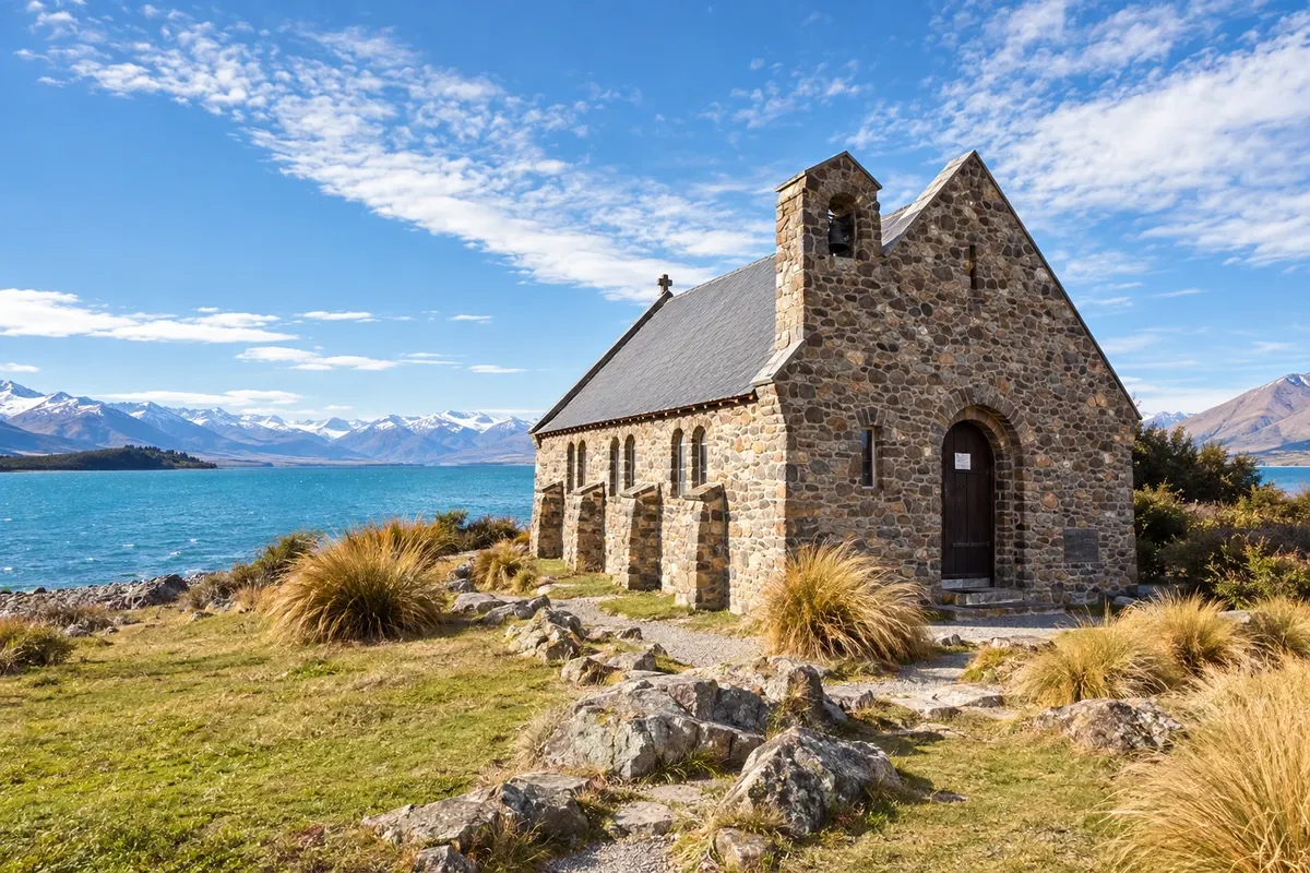
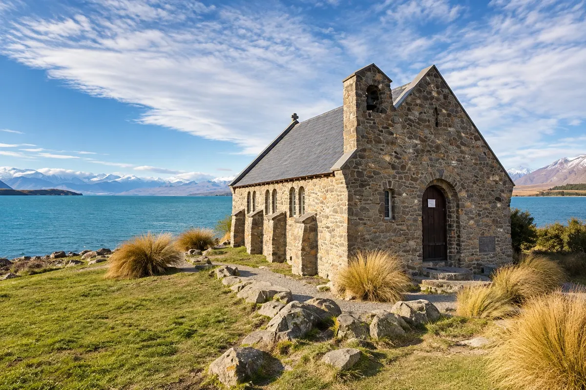
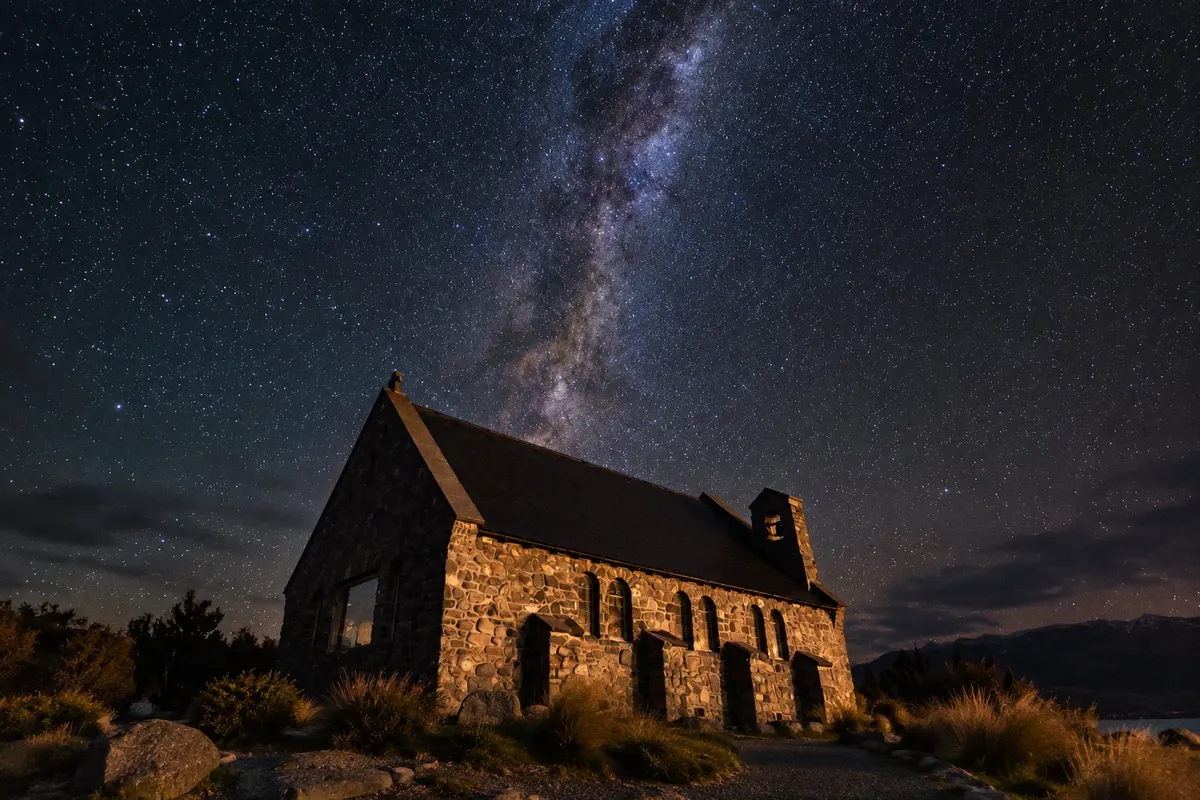
Na fotografiji: Church of the Good Shepherd and Lake Tekapo

Illustrative images. The pictures in this guide are illustrations based on the real place, not photographs, and may differ from it.

Na voljo v trgovini Google Play Pošljite svoje fotografije

Spoznajte kraj

Pokrajina, ki jo doživite
v svojem ritmu.

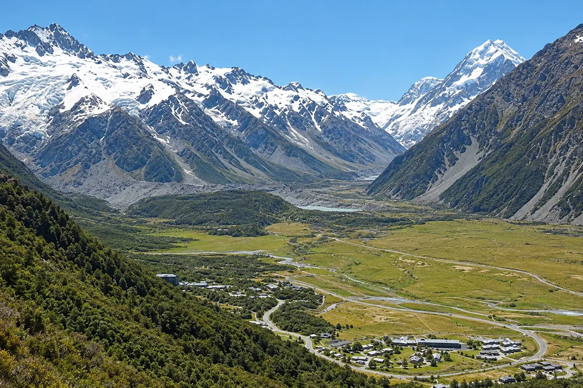
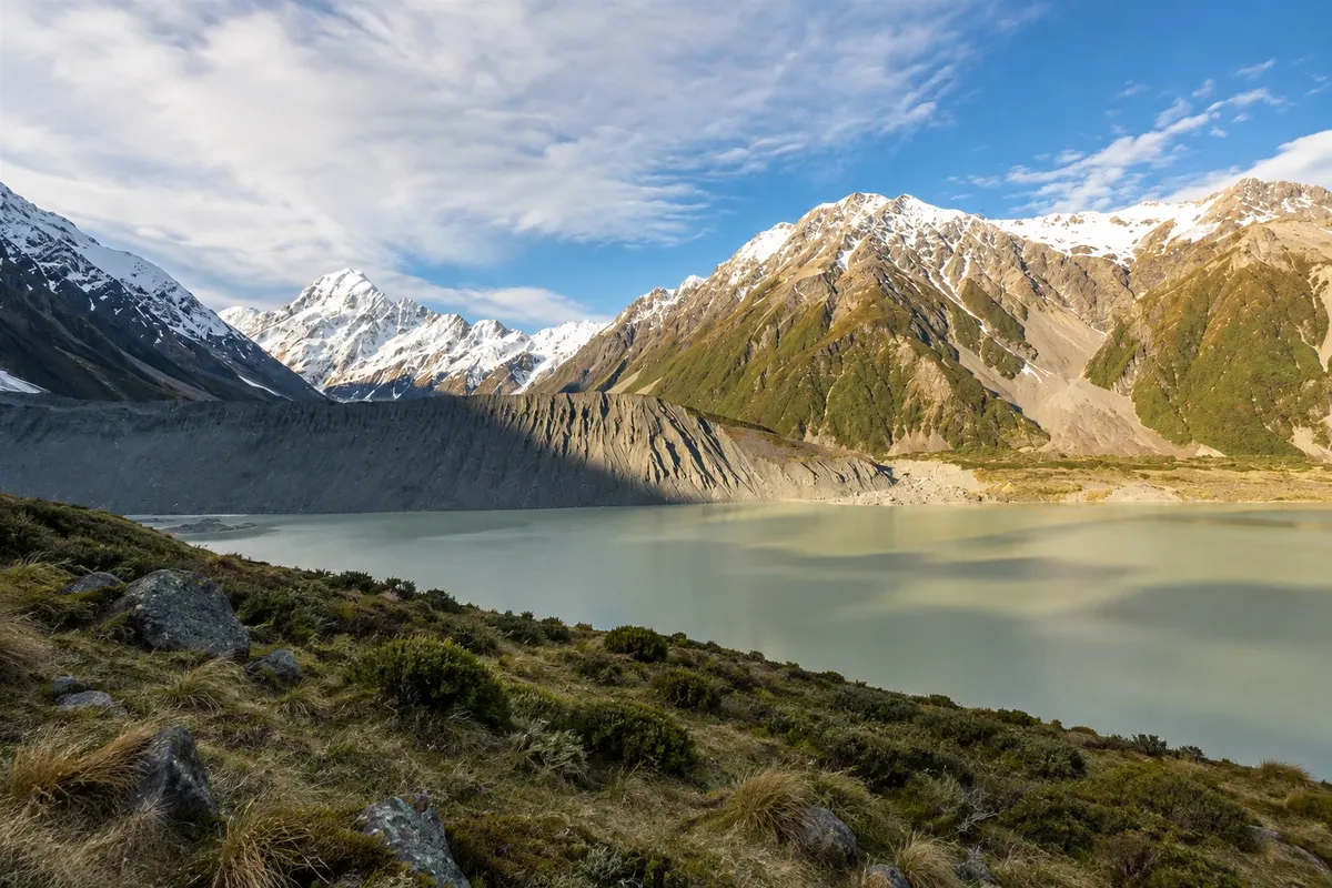
In the center of the South Island, the dry plain of the Mackenzie Basin ends at the wall of the Southern Alps. There stands Aoraki/Mount Cook, New Zealand’s highest mountain at 3,724 meters, surrounded by glaciers and other peaks over 3,000 meters. Aoraki/Mount Cook National Park is part of Te Wāhipounamu, the southwest New Zealand area listed as a UNESCO World Heritage Site.

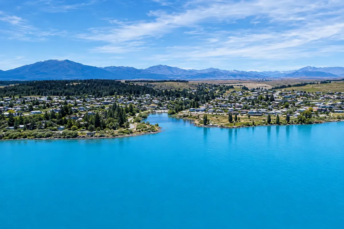
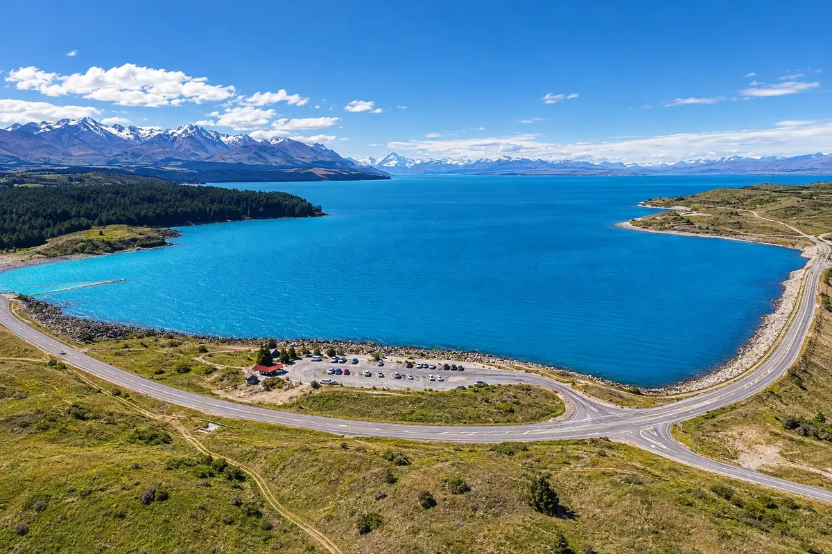
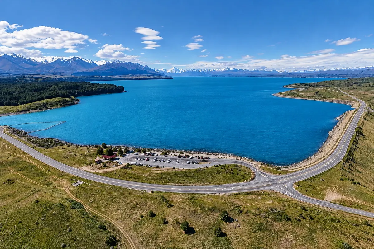
The plateau lakes, Tekapo and Pukaki, are fed by glacial melt and have a milky blue color caused by rock flour — the fine powder ground by ice. On the shore of Lake Tekapo the village of the same name has about 600 inhabitants and the small Church of the Good Shepherd, built in 1935, with the altar window facing the lake and the mountains. Along the shore of Pukaki the road follows to the village of Aoraki/Mount Cook, at 750 meters altitude, at the end of the valley at the foot of the mountain.

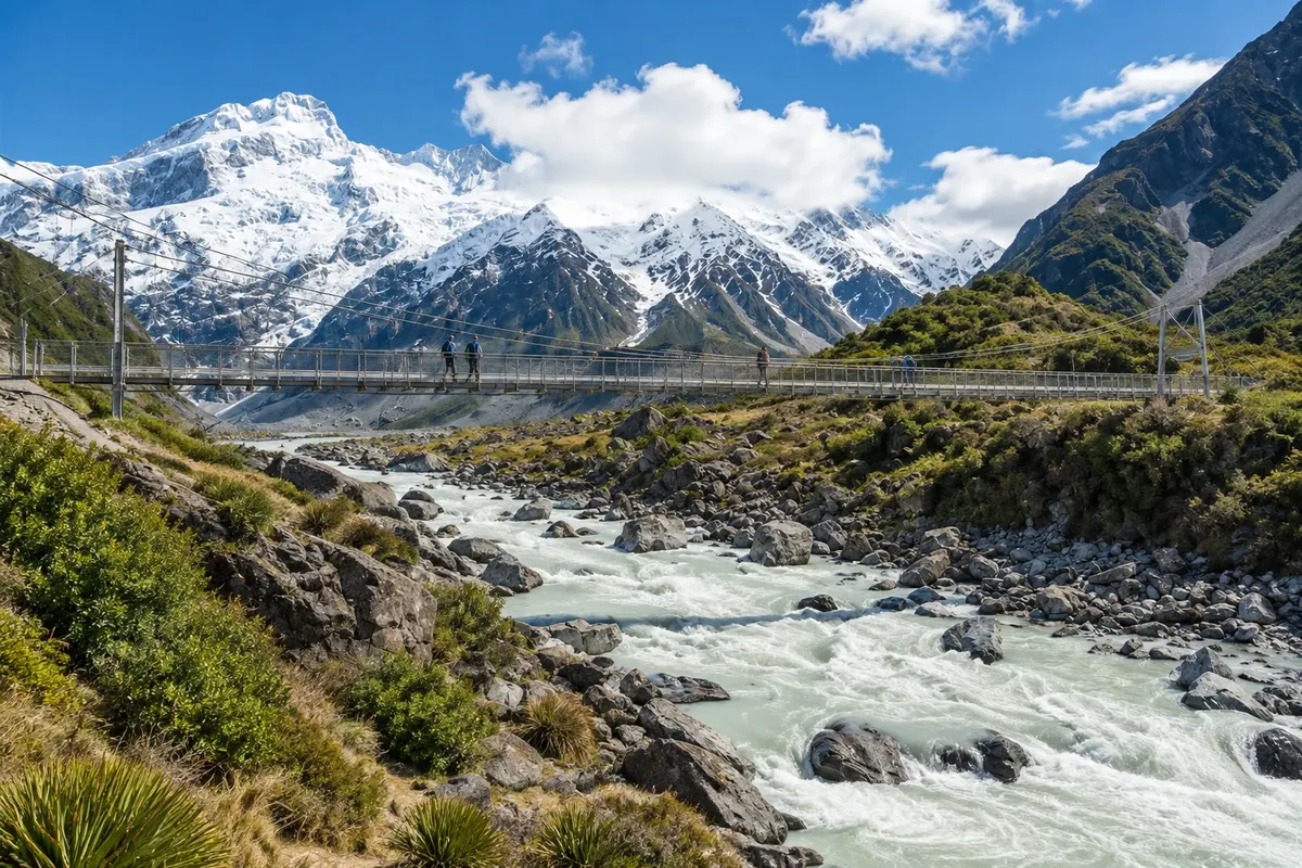
The village is the starting point for the region’s most popular hikes, such as the Hooker Valley track, which ends at a glacial lake with a direct view of Aoraki, and the trails to Lake Tasman, formed by the retreat of the Tasman Glacier, the country’s longest. Scenic flights fly over the glaciers and some land on the snow.

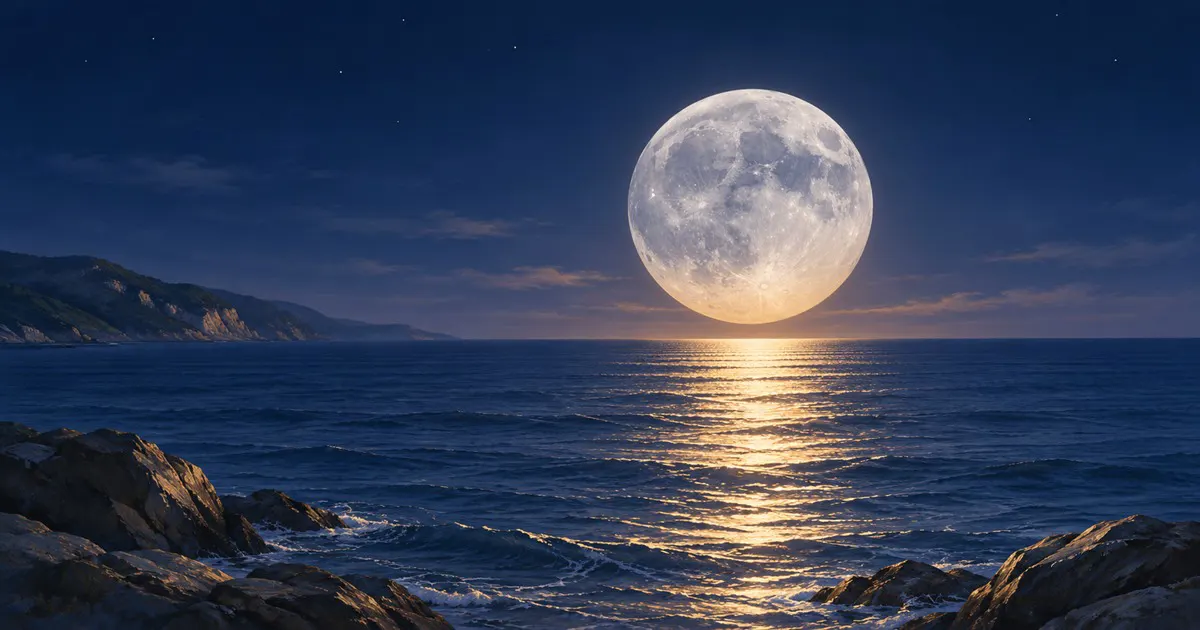
The sky is part of the experience. In 2012 the region was declared the Aoraki Mackenzie International Dark Sky Reserve, covering 4,300 km² where lighting is controlled, and the Mount John Observatory above Tekapo welcomes visitors. Twizel, a town established in 1968 for hydroelectric construction, completes the area, offering more services and accommodation near Lake Pukaki.

This destination brings together 3 cities: Tekapo, Aoraki / Mount Cook, Twizel.

Delite: WhatsApp
Delite svoja popotniška doživetja s fotografijami Pošljite fotografije vsakega kraja, ki ste ga obiskali. Največje število fotografij na kraj: 5.

Ena destinacija, več poti

Mesta na tej poti

Začnite v enem mestu ali v načrt poti vključite več mest.

Aoraki / Mount Cook and Tekapo – lega
TwizelAoraki/Mount CookTekapo

Meje: Stats NZ / geoBoundaries (CC BY 4.0). Priredba: Cidade Turismo.

Kako do tja:Aoraki / Mount Cook and Tekapo

✈ Aeroporto Internacional de Christchurch (CHC), kraj: Christchurch· 227 km do cilja (Tekapo)

✈ Aeroporto de Queenstown (ZQN), kraj: Queenstown· 260 km do cilja (Tekapo)

From Christchurch, Tekapo is about 227 km away, roughly a 3-hour drive, and the village of Aoraki/Mount Cook is about 105 km from Tekapo. From Queenstown it’s about a 3-hour drive to Twizel. Long-distance buses pass through Tekapo and Twizel, and there are buses to the village of Aoraki/Mount Cook.

Predlagana točka prihoda:Tekapo

Doživite kraj

Kaj početi – Aoraki / Mount Cook and Tekapo

Church of the Good Shepherd
Tekapo · Canterbury · Cerkev

Church of the Good Shepherd

Small stone church built in 1935 on the shore of Lake Tekapo, the first on the Mackenzie Plateau. The altar window frames the lake and mountains. Beside it stands the bronze shepherd dog statue.

Lake Pukaki
Twizel · Canterbury · Jezero

Lake Pukaki

Glacial lake of 178.7 km², milky-blue in color, with views to Aoraki/Mount Cook about 70 km to the north. Visitor centre on the south shore, about 7 km from Twizel.

Hooker Valley Track
Aoraki / Mount Cook · Canterbury · Kolesarska in pešpot

Hooker Valley Track

About a 5 km track each way, almost flat, with three suspension bridges over the Hooker River, to Hooker Glacial Lake, with icebergs and a direct view of Aoraki/Mount Cook.

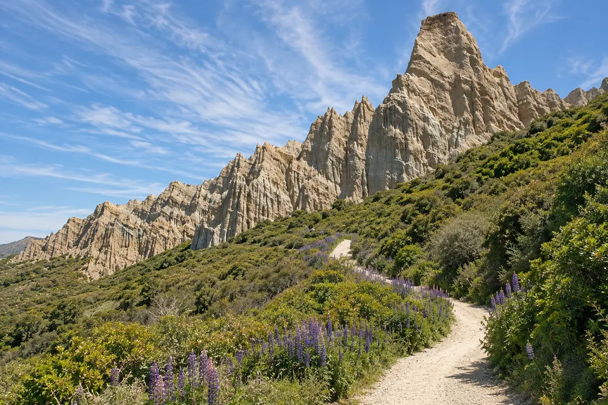
Omarama Clay Cliffs
Twizel · Canterbury · Rock formation

Omarama Clay Cliffs

Towers and cliffs of gravel and clay sculpted by erosion, near Omarama about 40 km from Twizel. A short trail runs between the formations on private land.

Aoraki / Mount Cook and Tekapo – prikaži dodatne kraje (5)
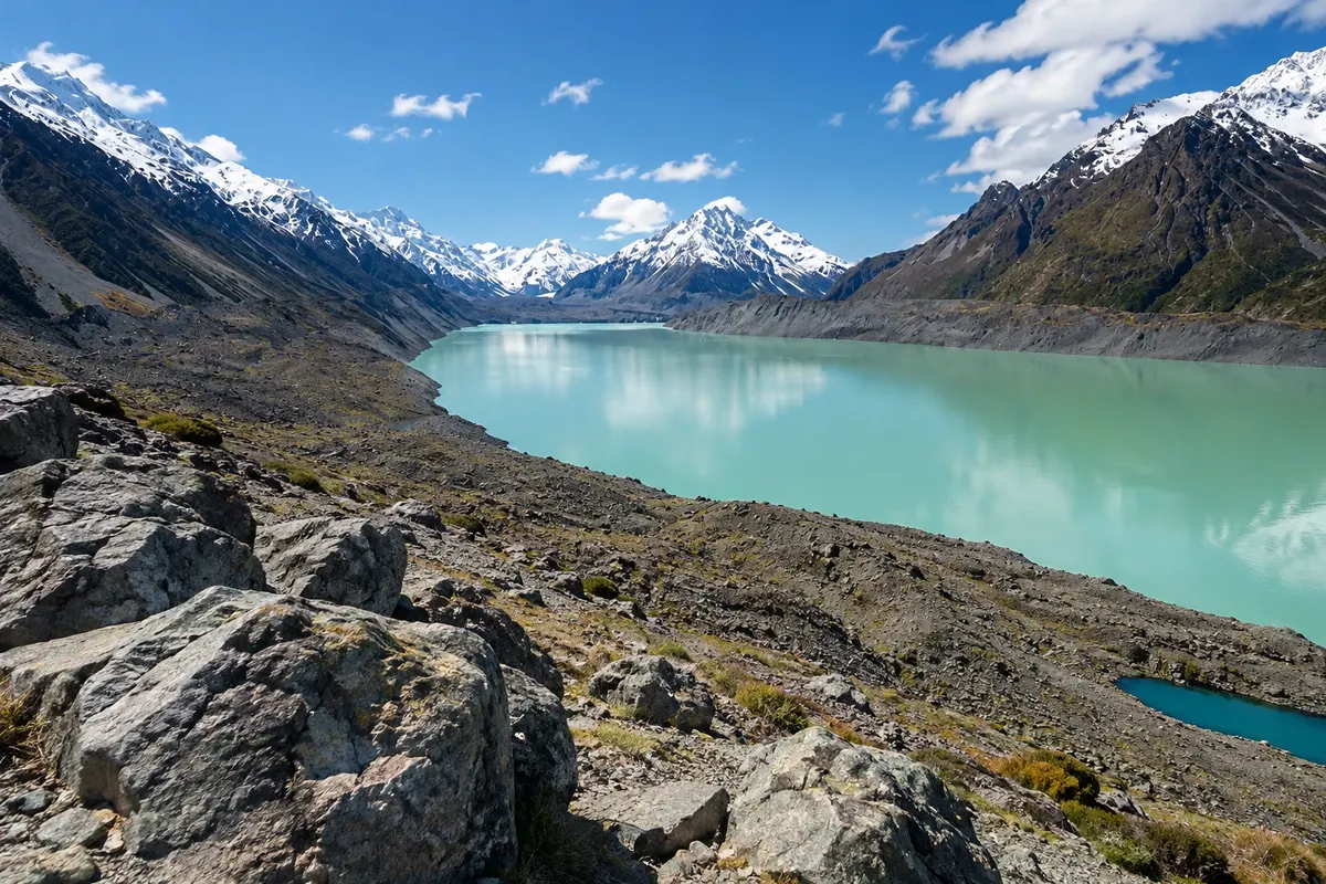
Tasman Glacier / Tasman Lake
Aoraki / Mount Cook · Canterbury · Glacier

Tasman Glacier / Tasman Lake

The Tasman Glacier, about 23.5 km long, is New Zealand’s longest glacier. The lake in front of it formed from the 1970s and contains icebergs. There is a short-track viewpoint and boat trips in season.

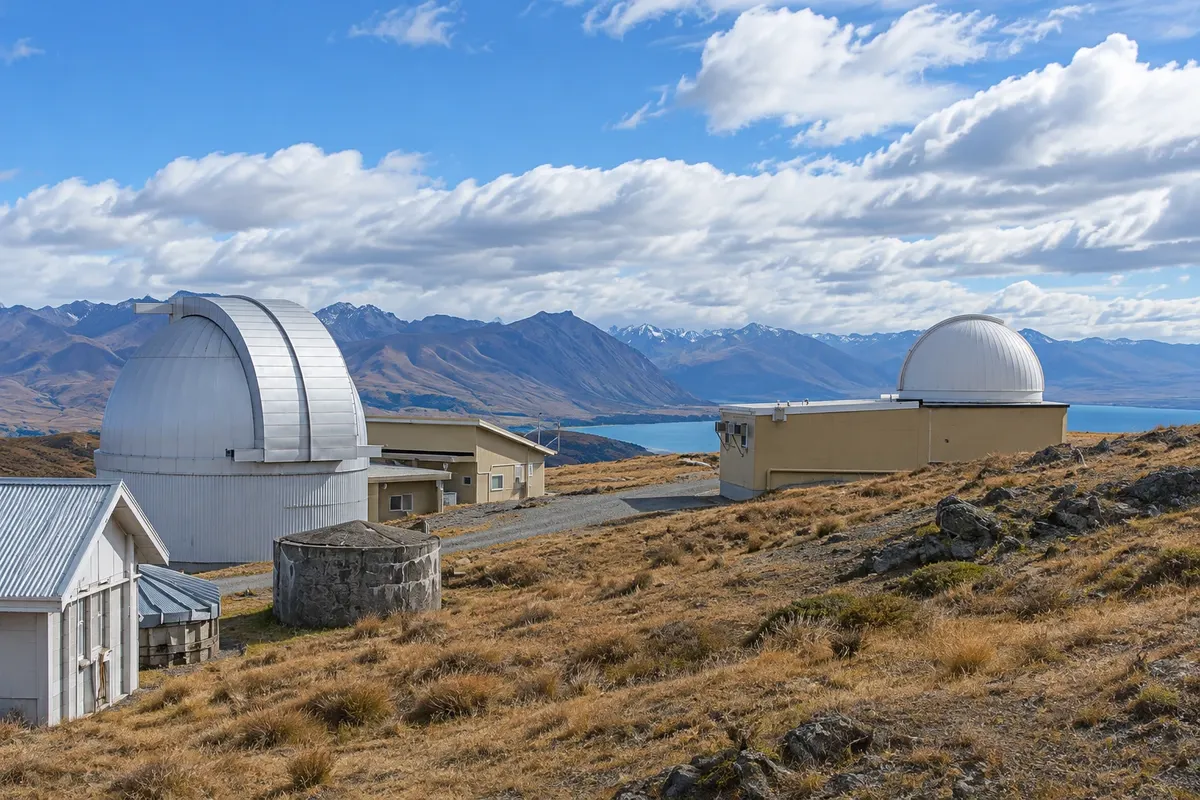
Mount John
Tekapo · Canterbury · Razgledišče

Mount John

Hill north of Tekapo village with the University of Canterbury observatory and 360‑degree views of the lake, the Mackenzie Plateau and the Southern Alps. Accessible by road or by trail.

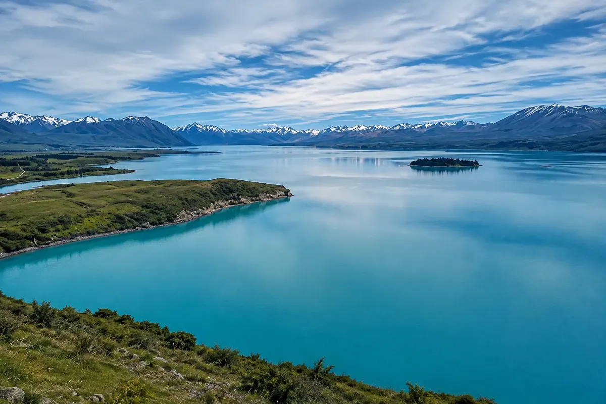
Lake Tekapo
Tekapo · Canterbury · Jezero

Lake Tekapo

A glacial lake on the Mackenzie Plateau, with a milky‑blue colour caused by glacial flour. The shores have trails, pebble beaches and, in late spring, flowering lupins.

Kea Point Track
Aoraki / Mount Cook · Canterbury · Kolesarska in pešpot

Kea Point Track

Short, flat walk from the village to a viewpoint over the moraine and Mueller Glacier lake, with views of Aoraki/Mount Cook and Mount Sefton.

Tekapo Dark Sky
Tekapo · Canterbury Naravni pojav

Tekapo Dark Sky

The dark sky of Tekapo, in the Aoraki Mackenzie International Dark Sky Reserve: what you can see in the southern sky, the Mount John Observatory and nights of stargazing.

Pred odhodom

Praktične informacije

Z nekaj načrtovanja boste imeli več časa za uživanje na poti.

Kdaj se odpraviti

From December to March, with long days and snow-free trails. November and December often have lupines blooming on the lake shores. From June to August it is very cold, it snows in the mountains and the long nights favour sky watching. The weather changes quickly year-round; clouds can hide the mountain for days.

The seasons shown are the most usual ones; nature doesn't always follow the calendar.

Koliko dni ostati

Three days: one in Tekapo, for the church, Mount John and stargazing; two in the village of Aoraki/Mount Cook, for the Hooker Valley trail, Lake Tasman and a buffer day for the weather. With less time many people do one day in each place.

V katerem mestu prenočiti

Tekapo has lakeside accommodation and is the base for night sky activities. The village of Aoraki/Mount Cook has few options, in the middle of the park, and fills up in summer. Twizel, about 65 km from the village, offers more options and lower prices.

Spoštujte kraj

Odnesite svoje odpadke, upoštevajte oznake in podprite lokalne ponudnike. V naravi upoštevajte navodila za obiskovalce.

Odgovori na vaša vprašanja

Pogosta vprašanja – Aoraki / Mount Cook and Tekapo

How many days to stay in Tekapo and Aoraki/Mount Cook?

Three days let you see Tekapo and the night sky and do the park trails with a buffer for the weather. With two days, do one in each place. Clouds can hide the mountain, so it’s worth having an extra day.

Can you go from Christchurch to Aoraki/Mount Cook in one day?

The round trip is about 660 km, more than 8 hours on the road, which leaves little time for trails. The usual approach is to stay overnight in Tekapo, Twizel or the park village.

Why are Lakes Tekapo and Pukaki blue-turquoise?

Glacial meltwater carries very fine rock powder, called glacial flour, which stays in suspension and reflects light, producing the milky blue colour.

What is the best time to see the stars in Tekapo?

The longest nights, from April to September, provide more hours of dark sky, but it is very cold. Moonless, cloudless nights are best at any time of year.

Do you need a car in Aoraki/Mount Cook and Tekapo?

It helps a lot, because distances are large and public transport is limited. There are long-distance buses and buses to the park village, but with few departures.

Odkrijte druge destinacije Iskanje po zvezni državi in mestu

Več kot vodnik