

Kolesarska in pešpot
Hooker Valley Track
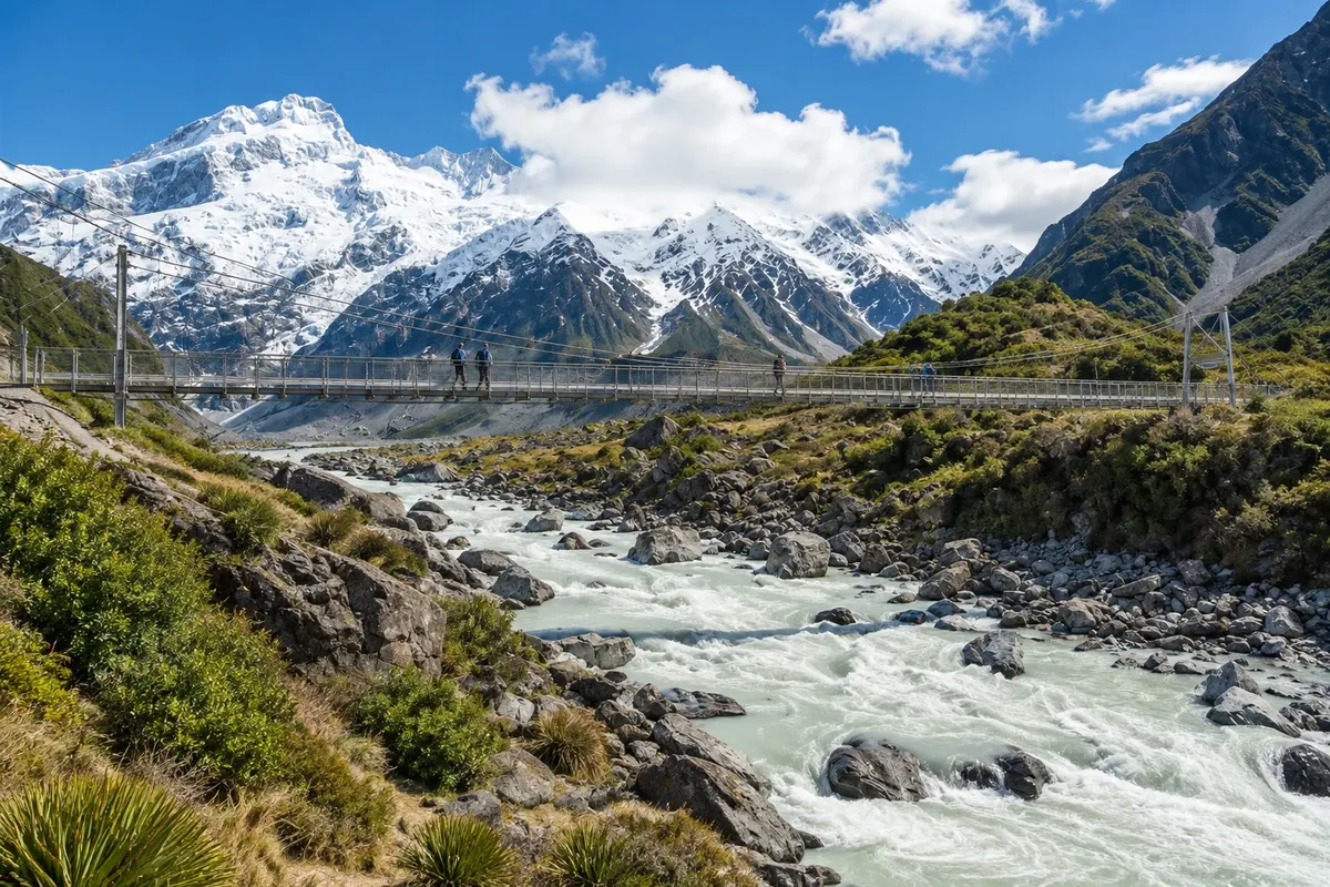
About a 5 km track each way, almost flat, with three suspension bridges over the Hooker River, to Hooker Glacial Lake, with icebergs and a direct view of Aoraki/Mount Cook.

 Išči
 Brazilija
 Antarktika
 Argentina
 Bolivija
 Čile
 Kolumbija
 Ekvator
 Gvajana
 Francoska Gvajana
 Falklandski otoki (Malvini)
 Paragvaj
 Peru
 Surinam
 Urugvaj
 Venezuela
 Nemčija
 Avstrija
 Belgija
 Hrvaška
 Danska
 Slovaška
 Slovenija
 Španija
 Finska
 Francija
 Grčija
 Nizozemska
 Madžarska
 Irska
 Islandija
 Italija
 Luksemburg
 Norveška
 Poljska
 Portugalska
 Združeno kraljestvo
 Češka
 Švedska
 Švica
 Turčija
 Bermudi
 Kanada
 Združene države Amerike
 Grenlandija
 Mehika
 Sveta Peter in Mihael
 Dominikanska republika
 JaponskaTurčija
 Južnoafriška republika
 Egipt
 Avstralija
 FidžiNova Zelandija
 Papua Nova Gvineja
Canterbury · Nova Zelandija
Destinacija: Aoraki / Mount Cook and Tekapo.
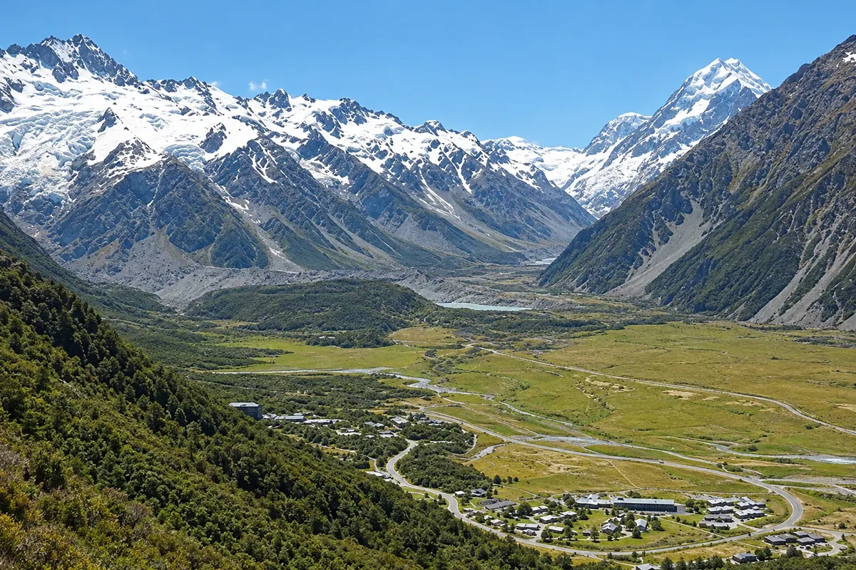
Na fotografiji: Aoraki/Mount Cook Village
Illustrative images. The pictures in this guide are illustrations based on the real place, not photographs, and may differ from it.
Mesto
The village of Aoraki/Mount Cook sits at 750 meters altitude, at the end of the Hooker Valley, inside the national park, at the foot of New Zealand’s highest mountain. It is small, with the park visitor centre and few accommodations, and the Hooker Valley, Kea Point and Lake Tasman trails depart from there, as well as scenic flights over the glaciers.
V vodniku še ni nastanitev – Aoraki / Mount Cook.
V vodniku še ni restavracij – Aoraki / Mount Cook.
Poznate dobro možnost? Priporočite nam jokako do tja · koliko dni · načrt poti · vprašanja
Doživite kraj
About a 5 km track each way, almost flat, with three suspension bridges over the Hooker River, to Hooker Glacial Lake, with icebergs and a direct view of Aoraki/Mount Cook.
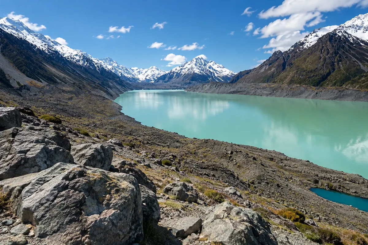
The Tasman Glacier, about 23.5 km long, is New Zealand’s longest glacier. The lake in front of it formed from the 1970s and contains icebergs. There is a short-track viewpoint and boat trips in season.
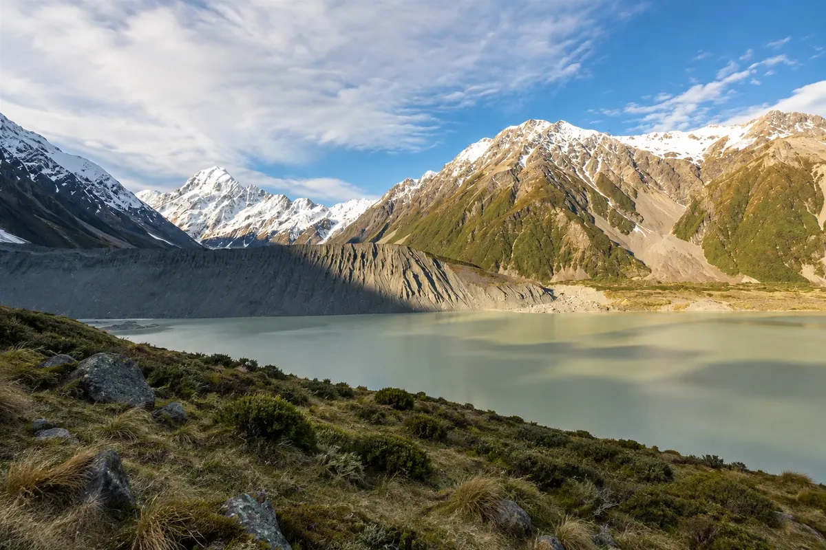
Short, flat walk from the village to a viewpoint over the moraine and Mueller Glacier lake, with views of Aoraki/Mount Cook and Mount Sefton.
Pred odhodom
Aoraki / Mount Cook – Canterbury Destinacija Aoraki / Mount Cook and Tekapo približno 330 km stran (izhodišče: Christchurch)
Razdalje so približne. Pred potovanjem preverite lete in vozne rede avtobusov, vlakov ali ladij.
It’s at the end of Highway 80, about 65 km from Twizel and 105 km from Tekapo, along the shore of Lake Pukaki. There are buses from Twizel and from Christchurch and Queenstown, with limited schedules. The village’s small aerodrome receives scenic and charter flights.
Two days: one for the Hooker Valley and Kea Point trail, another for Lake Tasman and a flight or boat trip. The second day also works as a backup in case clouds hide the mountain.
From December to March, with snow-free trails and long days; this is the busiest season. In October, November and April there are fewer people and more variable weather. In winter, from June to August, it snows and some trails are subject to avalanche risk.
The seasons shown are the most usual ones; nature doesn't always follow the calendar.
It helps a lot, because public transport is limited and Lake Tasman is about 8 km from the village along an unsealed road. In the village, the main trails start on foot or near the White Horse Hill campground.
Predlog poti
Pot povezuje znamenitosti na tej strani. Za oglede boste imeli dovolj časa.
Leave early from the White Horse Hill campground for the Hooker Valley trail, with three suspension bridges, to the glacial lake with views of Aoraki. Allow about 3 hours return.
Visit the park visitor centre in the village, with exhibits about the mountains, the glaciers and the history of mountaineering, and check the weather forecast for the next day.
Drive about 8 km along the unsealed Tasman Valley road and climb the short trail to the Lake Tasman lookout, with icebergs on the water and the glacier in the background.
With clear skies, leave the village to see the stars: the park is part of the international dark-sky reserve. Bring warm clothing and a torch.
Check before you go. Opening hours and days change, and places may close for renovations, holidays or events. This itinerary is a suggestion from Cidade Turismo, not a commitment: plan yours by checking directly with each place you intend to visit.
Pred odhodom
The Hooker Valley, roughly 5 km each way, with three suspension bridges and a glacial lake at the end, offering a direct view of the mountain. It is almost flat and takes about 3 hours return.
No. Clouds and rain can hide the mountain for days in any season. That’s why it’s wise to allow an extra day in the area.
There are a few restaurants and cafés linked to accommodations, and no large supermarket. The nearest market is in Twizel, about 65 km away; bring what you need.
Yes. There are airplane and helicopter scenic flights from the village and from Tekapo, some with snow landings. They depend on weather and are paid extra.
Več kot vodnik


