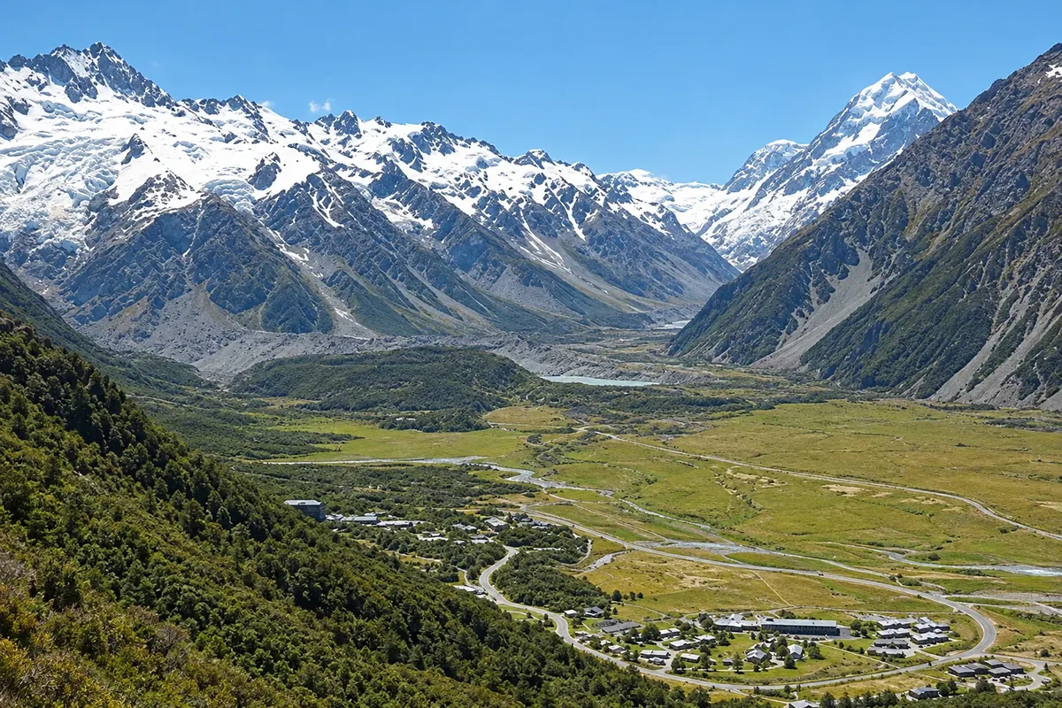
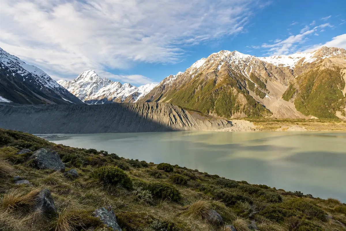
In the center of the South Island, the dry plain of the Mackenzie Basin ends at the wall of the Southern Alps. There stands Aoraki/Mount Cook, New Zealand’s highest mountain at 3,724 meters, surrounded by glaciers and other peaks over 3,000 meters. Aoraki/Mount Cook National Park is part of Te Wāhipounamu, the southwest New Zealand area listed as a UNESCO World Heritage Site.
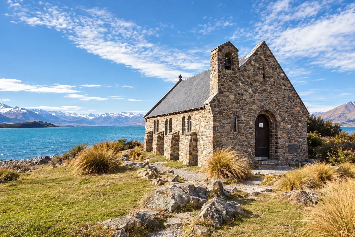
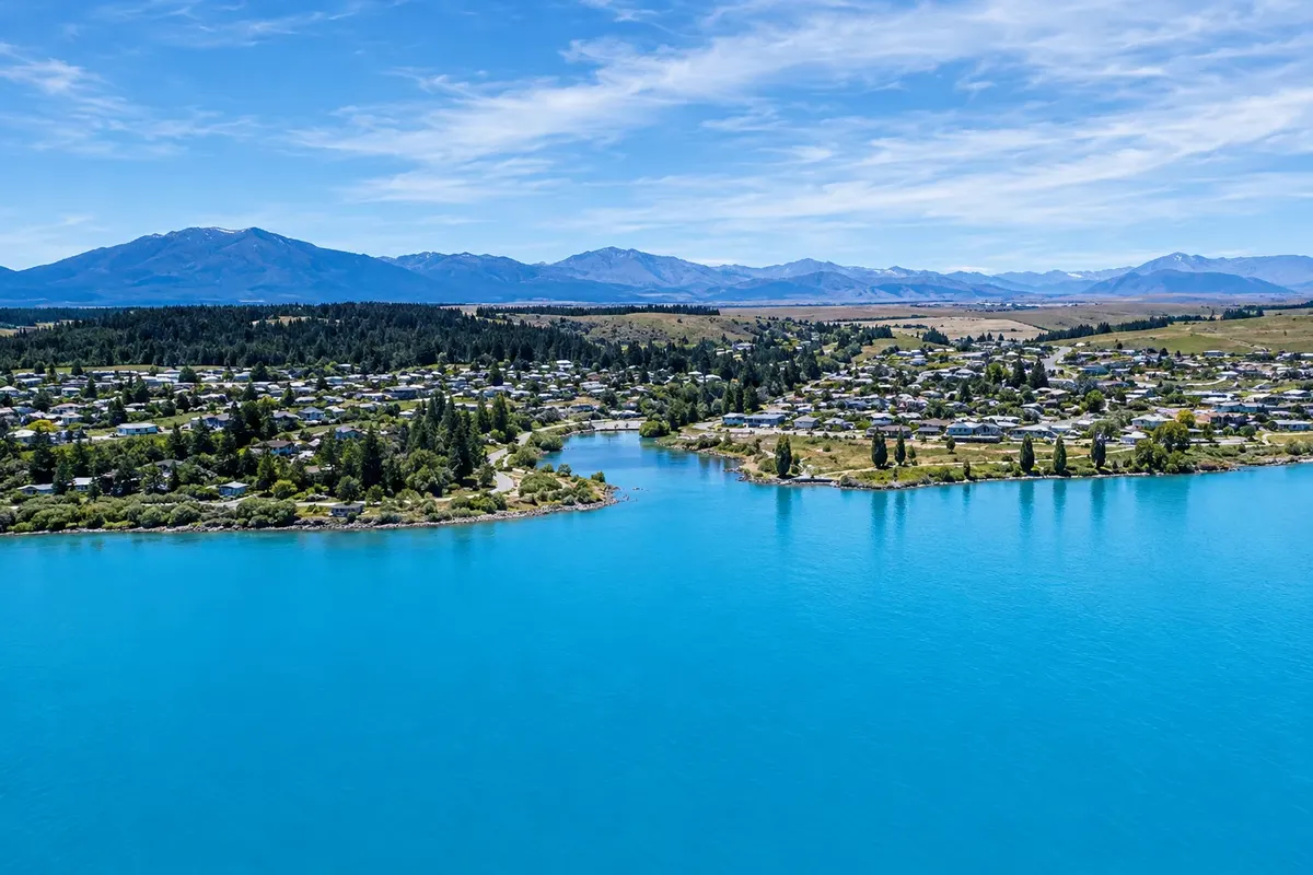
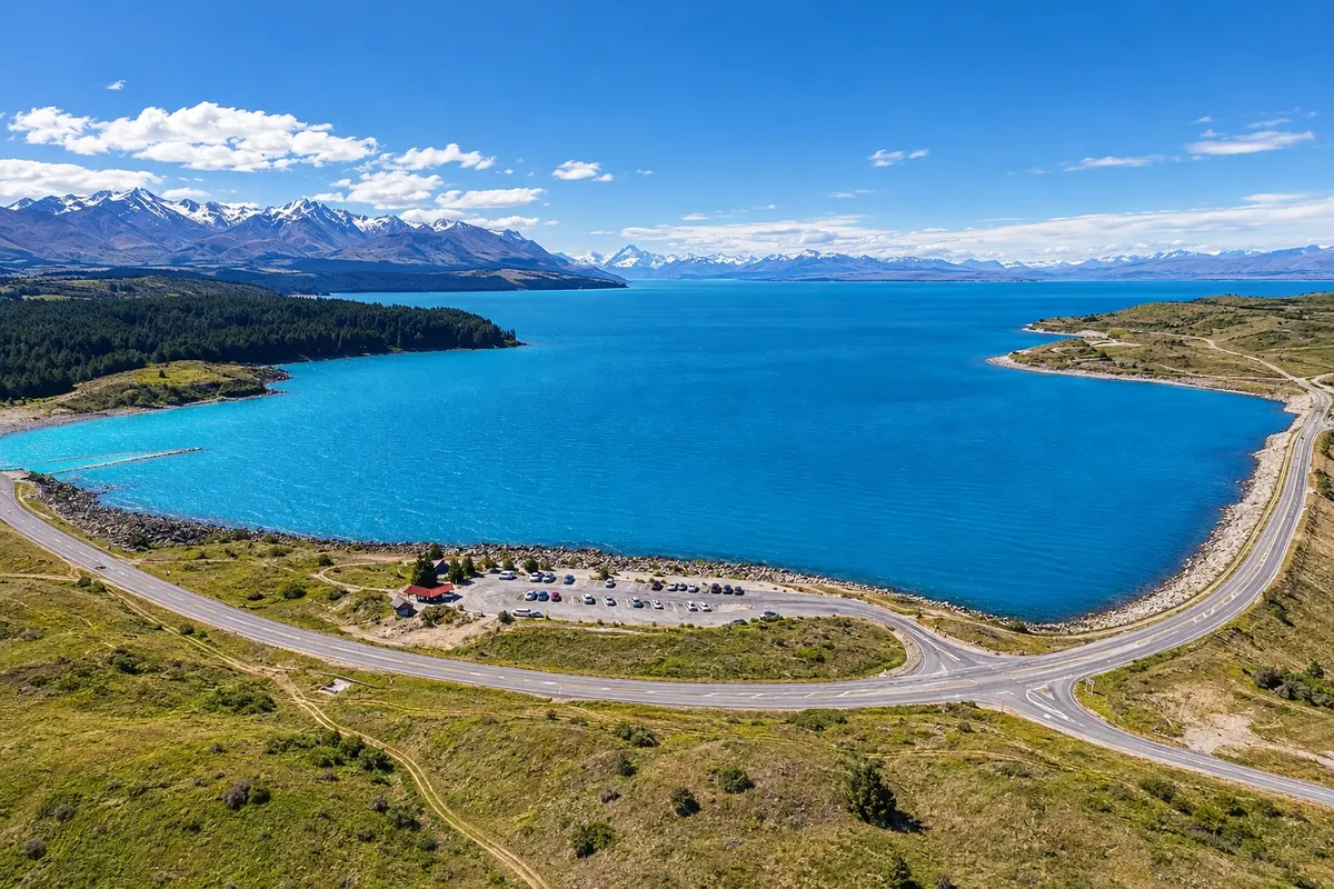
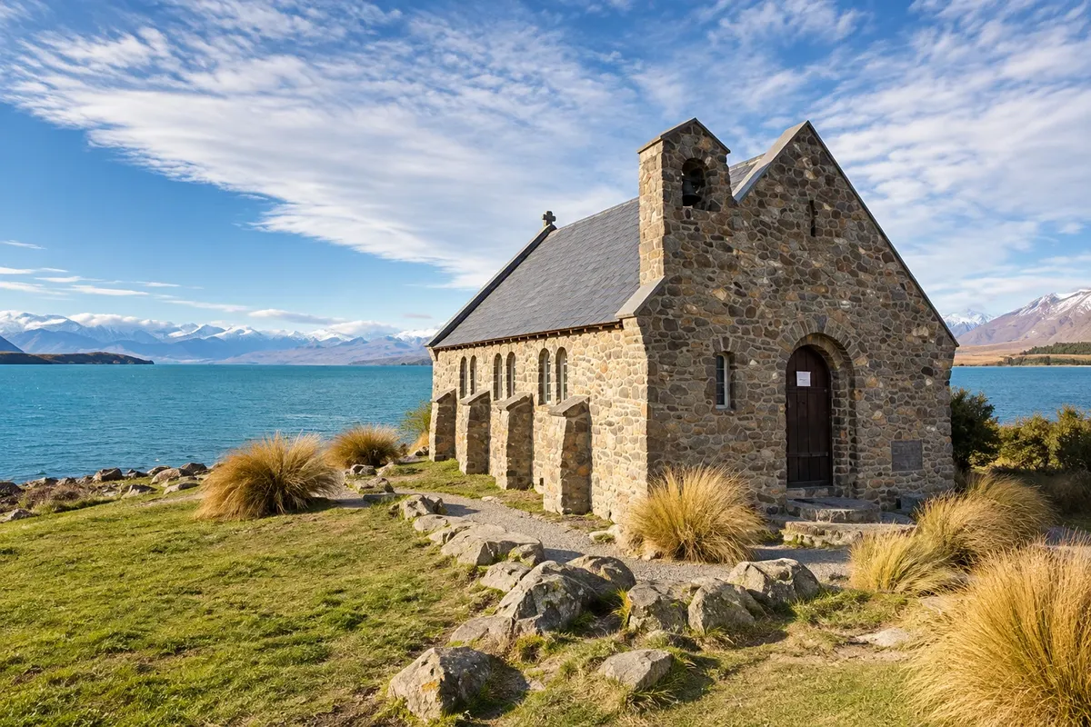
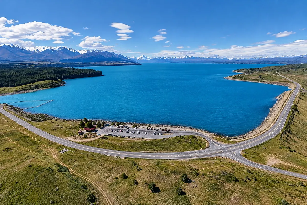
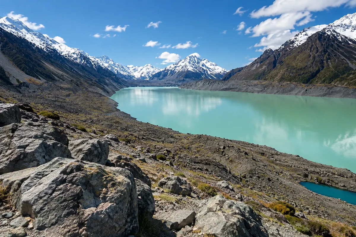
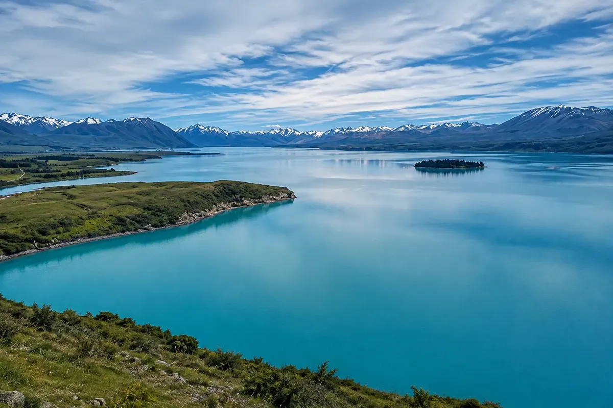
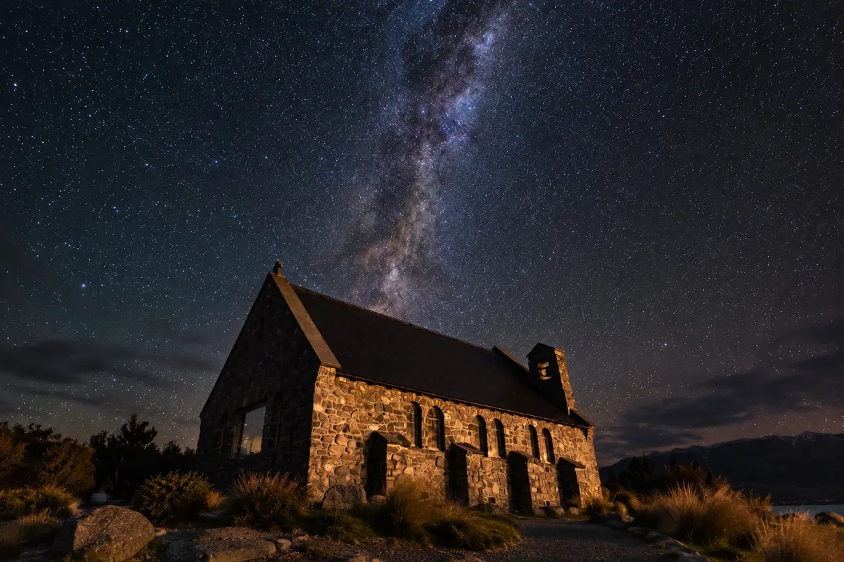
The plateau lakes, Tekapo and Pukaki, are fed by glacial melt and have a milky blue color caused by rock flour — the fine powder ground by ice. On the shore of Lake Tekapo the village of the same name has about 600 inhabitants and the small Church of the Good Shepherd, built in 1935, with the altar window facing the lake and the mountains. Along the shore of Pukaki the road follows to the village of Aoraki/Mount Cook, at 750 meters altitude, at the end of the valley at the foot of the mountain.
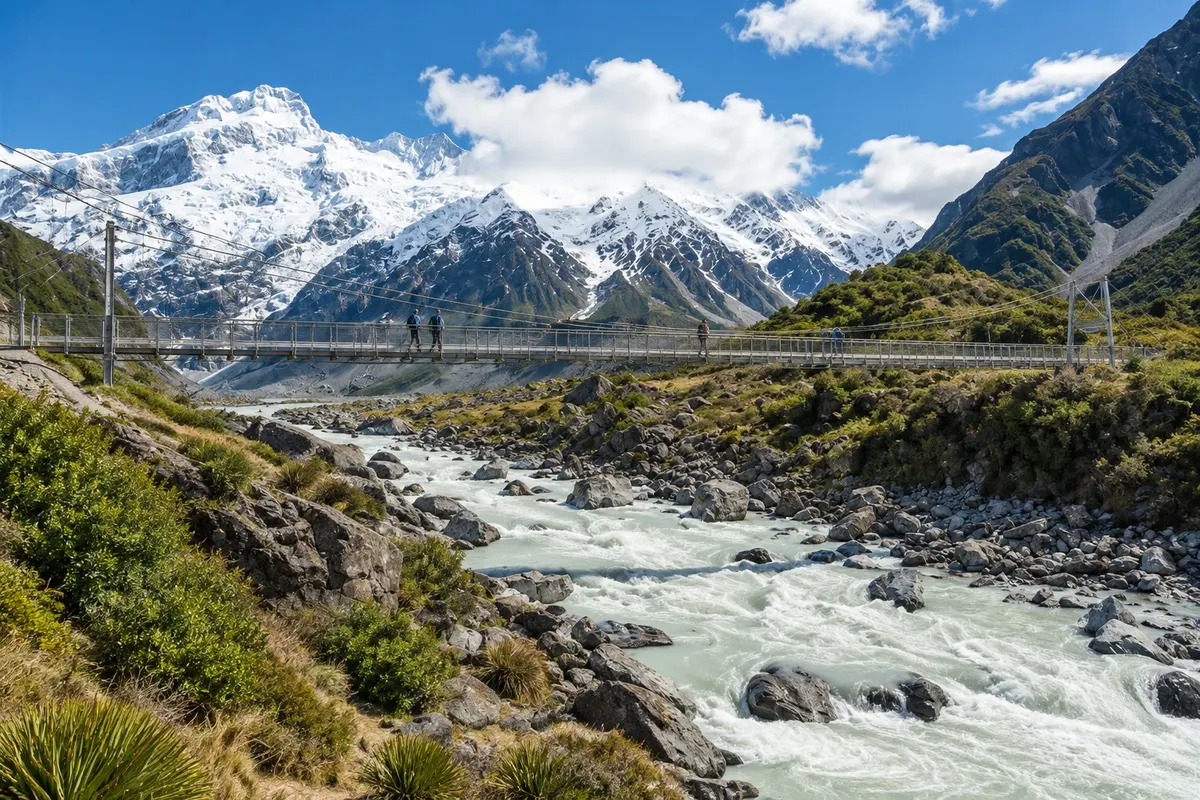
The village is the starting point for the region’s most popular hikes, such as the Hooker Valley track, which ends at a glacial lake with a direct view of Aoraki, and the trails to Lake Tasman, formed by the retreat of the Tasman Glacier, the country’s longest. Scenic flights fly over the glaciers and some land on the snow.
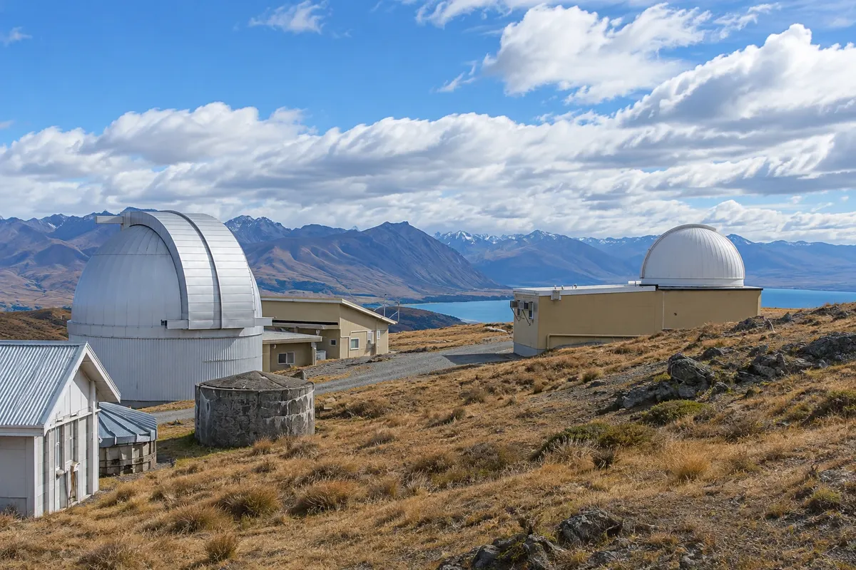
The sky is part of the experience. In 2012 the region was declared the Aoraki Mackenzie International Dark Sky Reserve, covering 4,300 km² where lighting is controlled, and the Mount John Observatory above Tekapo welcomes visitors. Twizel, a town established in 1968 for hydroelectric construction, completes the area, offering more services and accommodation near Lake Pukaki.
This destination brings together 3 cities: Tekapo, Aoraki / Mount Cook, Twizel.


 Brazilija
 Antarktika
 Argentina
 Bolivija
 Čile
 Kolumbija
 Ekvator
 Gvajana
 Francoska Gvajana
 Falklandski otoki (Malvini)
 Paragvaj
 Peru
 Surinam
 Urugvaj
 Venezuela
 Nemčija
 Avstrija
 Belgija
 Hrvaška
 Danska
 Slovaška
 Slovenija
 Španija
 Finska
 Francija
 Grčija
 Nizozemska
 Madžarska
 Irska
 Islandija
 Italija
 Luksemburg
 Norveška
 Poljska
 Portugalska
 Združeno kraljestvo
 Češka
 Švedska
 Švica
 Turčija
 Bermudi
 Kanada
 Združene države Amerike
 Grenlandija
 Mehika
 Sveta Peter in Mihael
 Dominikanska republika
 Japonska
 Južnoafriška republika
 Egipt
 Avstralija
 Fidži
 Papua Nova Gvineja