

 Antarktika
 Argentina
 Bolivija
 Čile
 Kolumbija
 Ekvator
 Gvajana
 Francoska Gvajana
 Falklandski otoki (Malvini)
 Paragvaj
 Peru
 Surinam
 Urugvaj
 Venezuela
 Nemčija
 Avstrija
 Belgija
 Hrvaška
 Danska
 Slovaška
 Slovenija
 Španija
 Finska
 Francija
 Grčija
 Nizozemska
 Madžarska
 Irska
 Islandija
 Italija
 Luksemburg
 Norveška
 Poljska
 Portugalska
 Združeno kraljestvo
 Češka
 Švedska
 Švica
 Turčija
 Bermudi
 Kanada
 Združene države Amerike
 Grenlandija
 Mehika
 Sveta Peter in Mihael
 Dominikanska republika
 Japonska
 Južnoafriška republika
 Egipt
 Avstralija
 Fidži
 Nova Zelandija
 Papua Nova Gvineja
Rio Grande do Sul · Brazilija
Mampituba
Destinacija: Caminho dos Cânions.
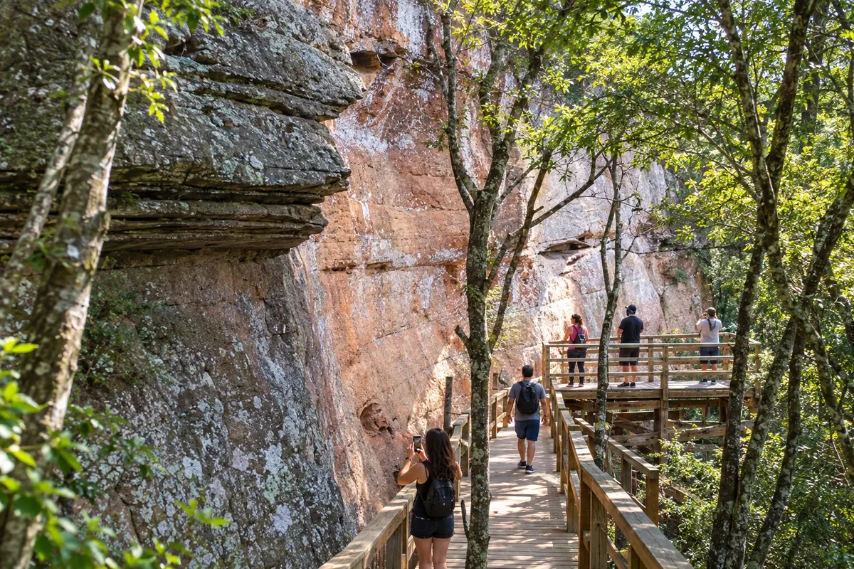
Na fotografiji: Mampituba landscape.
Illustrative images. The pictures in this guide are illustrations based on the real place, not photographs, and may differ from it.


Mesto
Kaj lahko pričakujete – Mampituba.
Mampituba combines banana plantations with the slopes of the Serra Geral. The Cachoeira dos Borges and the Santuário Nossa Senhora Aparecida are landmarks of the municipality. On the Caminhos dos Cânions do Sul route, the town adds rural scenery and a religious visit to the journey through the Geoparque territory.
Kje prenočiti
Mampituba – število nastanitev: 7.
Vaše potovanje
kako do tja · koliko dni · vprašanja
Mampituba – nazivi in posebnosti
Pred odhodom
Vaše potovanje – Mampituba
Mampituba – RS Destinacija Caminho dos Cânions
Kako do tja
Access to the municipality is via the RS-494 and local roads. To visit the Cachoeira dos Borges, confirm entry and transportation to the property before leaving town.
Koliko dni
Schedule a stop for the sanctuary; a walk to the Cachoeira dos Borges requires its own planning.
Kdaj se odpraviti
For Mampituba's rural roads, opt for stable weather forecasts and check access conditions after rainy periods.
The seasons shown are the most usual ones; nature doesn't always follow the calendar.
Ali potrebujete avto?
A vehicle makes it easier to reach the sanctuary and rural areas; the walk to the Cachoeira dos Borges needs to be arranged separately.
Pred odhodom
Pogosta vprašanja
What to see in Mampituba?
The Santuário Nossa Senhora Aparecida allows for a religious visit, while the Cachoeira dos Borges offers a nature outing with access that must be arranged in advance.
What is Mampituba's role on this route?
The municipality is part of the Geoparque territory and brings together rural properties, banana cultivation, and the slopes of the Serra Geral in the Rio Grande do Sul section of the route.
Is the Cachoeira dos Borges in the town center?
The waterfall is in a rural area, on private property. Check with the person in charge of visits to find out how to get there and what activities are available.
Brazilske poti
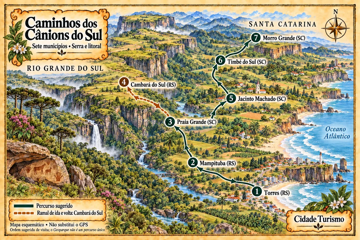
Mampituba – del poti z imenom Caminhos dos Cânions do Sul (Paths of the Southern Canyons)
Seven municipalities between the coast and the Serra Geral, with canyons, waterfalls, paleotocas and rural roads within the Geopark territory.
Več kot vodnik


