

 Brazil
 Argentina
 Chile
Chile Colombia
 Peru
Peru Uruguay
 Germany
 Belgium
 Spain
Spain France
 Greece
 the Netherlands
 Italy
Italy Luxembourg
 Portugal
 the United Kingdom
 Switzerland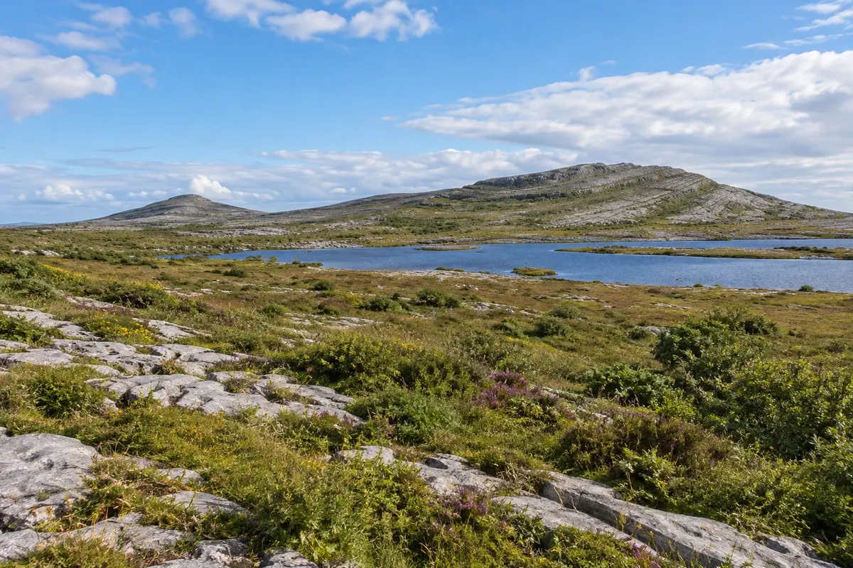
Park · Doolin, Clare
Burren National Park
The national park in the heart of the Burren, a region of bare limestone cracked into slabs, with lakes that appear and vanish, stepped hills and alpine and Mediterranean flowers growing side by side.
Illustrative images. The pictures in this guide are illustrations based on the real place, not photographs, and may differ from it.

Discover
About Burren National Park
The Burren, from the Irish Boireann, "stony place", is a region of about 250 km² in north Clare, where limestone formed on the floor of a tropical sea around 330 million years ago appears at the surface. The rock is cut by deep fissures, called grikes, which separate flat slabs, the clints, and forms grey stepped hills that look barren from a distance. Burren National Park, created in 1991, protects about 1,500 hectares in the southeast of the region, near Corofin.
Despite its arid appearance, the Burren has a unique flora: alpine and arctic plants, such as spring gentian and mountain avens, grow in the cracks of the stone alongside Mediterranean plants and more than 20 native orchid species. Flowering usually runs from April to June, peaking in May. Under the rock runs a network of caves and underground rivers, and in winter turloughs form—lakes that appear with rain and disappear in summer.
The park has no entrance gate or visitor centre within the area; access is via signed car parks, from which coloured waymarked trails run, from 1.5 to 7.5 km, crossing the limestone, hazel woods and the mountain Mullaghmore. The path is over uneven stone and becomes slippery when wet.
Outside the park, the roads of the Burren lead to other points: the Poulnabrone dolmen, the ruins of Leamaneh Castle, the Black Head and Fanore coast and the villages of Ballyvaughan and Kilfenora. In Corofin there is, in season, a park information point.
Before you go
Practical information
Cidade Turismo reviews its information regularly, but something may have changed. Check with the place before planning your trip.
How much time to set aside
About 1.5 to 3 hours for one of the waymarked trails; a full day to combine with Poulnabrone and the Burren coast.
Best time
From April to June, when alpine plants and orchids usually flower, with a peak in May. At any time of year, choose dry days: wet limestone is slippery. In winter the turloughs fill.
How to get there
Access to the trails is via the car parks on the road between Corofin and Kilnaboy, about 30 km east of Doolin and 20 km north of Ennis. There is no public transport to the trails; go by car or on a tour. The roads are narrow and have no hard shoulder.
Tip
Wear trainers or boots with a firm sole and watch your step: the fissures in the limestone are deep. Before you go, check the park website for the coloured trail map and choose the Mullaghmore route for the stepped limestone view.
Official website
Get your questions answered
Frequently asked questions about Burren National Park
What is the Burren?
A region of bare limestone in north Clare, with slabs of rock separated by fissures, terraced hills, caves and a flora that mixes alpine and Mediterranean species.
Does the park have a visitor centre?
Not in the trail area. Access is via signposted car parks; in season there is an information point in Corofin.
When does the Burren bloom?
Flowering usually runs from April to June, peaking in May, when gentians and orchids appear in the rock fissures.