

 Brazil
 Argentina
 Chile
Chile Colombia
 Peru
Peru Uruguay
 Germany
 Belgium
 Spain
Spain France
 the Netherlands
 Ireland
 Italy
Italy Luxembourg
 Portugal
 the United Kingdom
 Switzerland
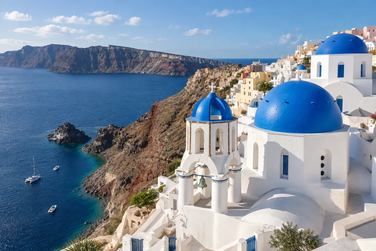
Village
Oia
Village at the northern tip of the island, on the caldera rim, with white cave houses, blue domes, ruins of a Venetian castle and the bay of Ammoudi down below.
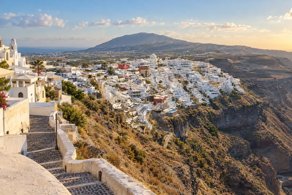
Egeu Meridional · Greece
In the destination Santorini.
In the photo: Fira
Illustrative images. The pictures in this guide are illustrations based on the real place, not photographs, and may differ from it.
The city
Fira (Thira) is the capital of Santorini, on the rim of the caldera, about 260 meters above the sea. It concentrates the bus station from which buses depart to the whole island, the two archaeological museums, the cable car that descends to the old port, and the largest offering of shops, restaurants and accommodations. From the rim promenade you can see the volcano and the Kameni islets, and from there the trail to Firostefani, Imerovigli and Oia departs. The town was rebuilt after the 1956 earthquake and mixes cave-houses, domed churches and hotels on the hillside.
There's no accommodation in the guide yet in Fira.
how to get there · how many days · itinerary · questions
The local experience
Village at the northern tip of the island, on the caldera rim, with white cave houses, blue domes, ruins of a Venetian castle and the bay of Ammoudi down below.
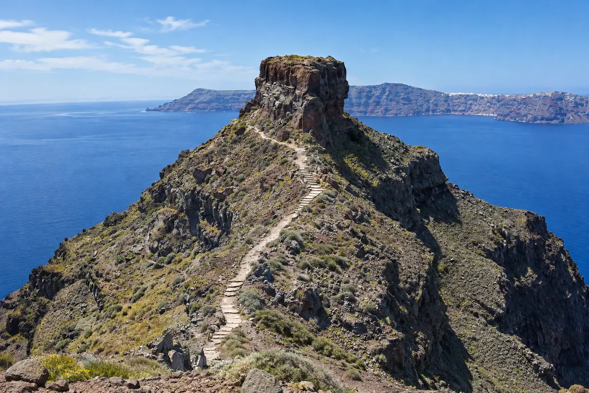
Village at the highest point of the caldera rim, facing the volcano, with the Skaros rock and the ruins of the medieval castle; starting point for the trail to Oia.
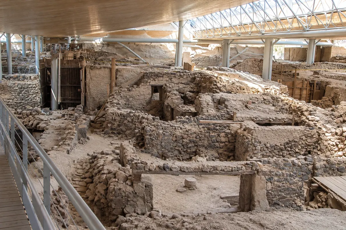
Bronze Age town buried by the volcanic eruption more than 3,500 years ago, excavated under a shelter and visited via raised walkways.
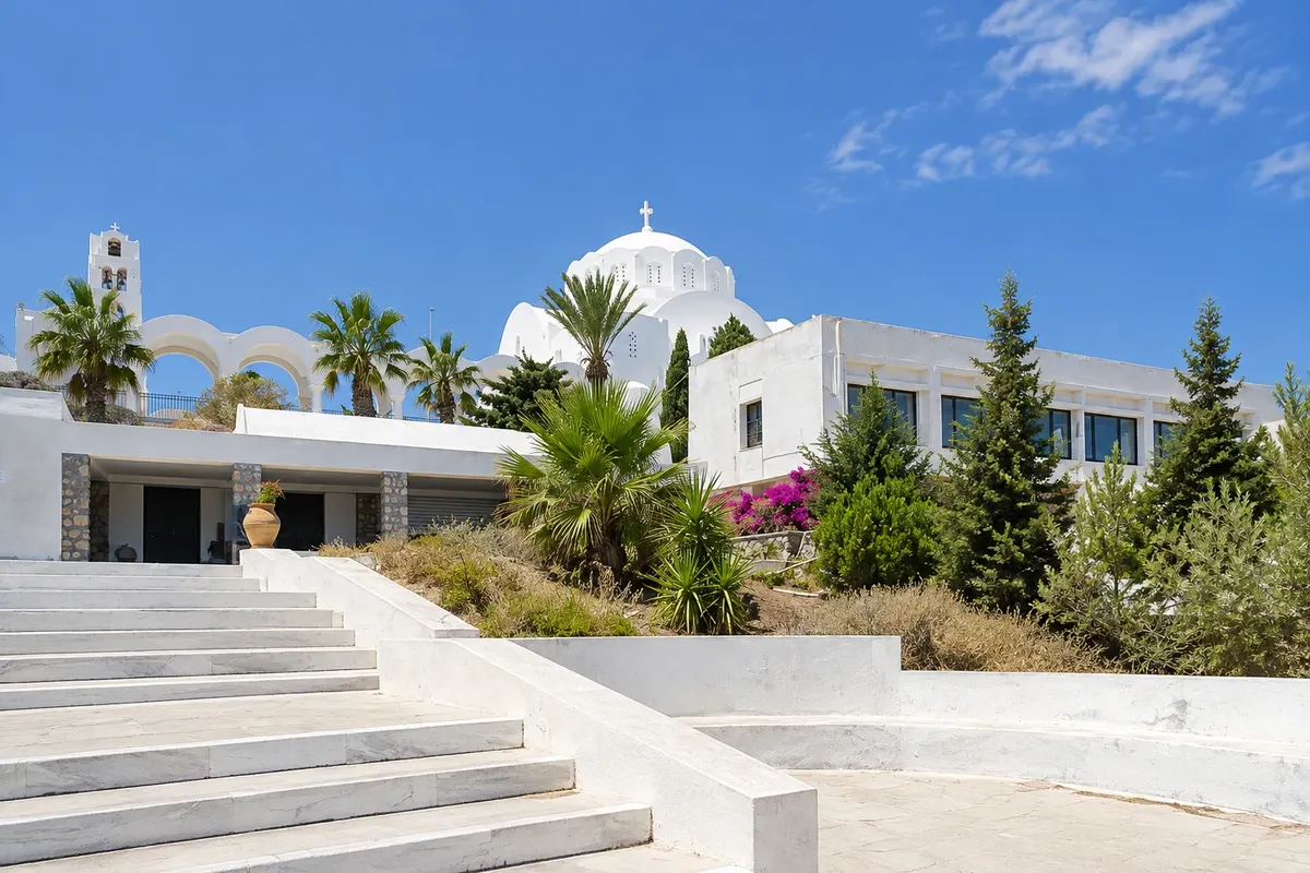
Museum in Fira with the finds from Akrotiri: frescoes, pottery, Cycladic figurines and everyday objects from the town buried by the volcano.
Museum in Fira with pottery, sculptures and inscriptions from Thera Antiga, from the geometric to the Roman period, in a refurbished building near the cable car.
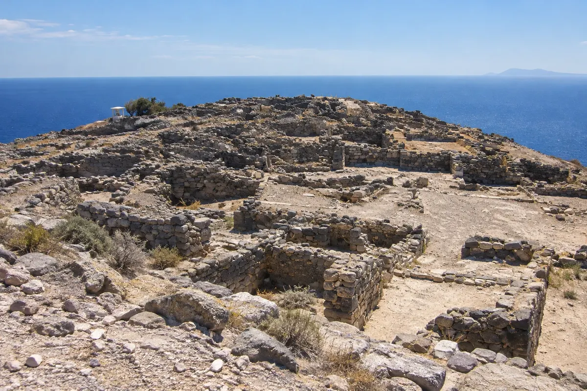
Ruins of the Dorian city on the top of Mesa Vouno mountain, between Kamari and Perissa, with an agora, theater, temples and views of both beaches.
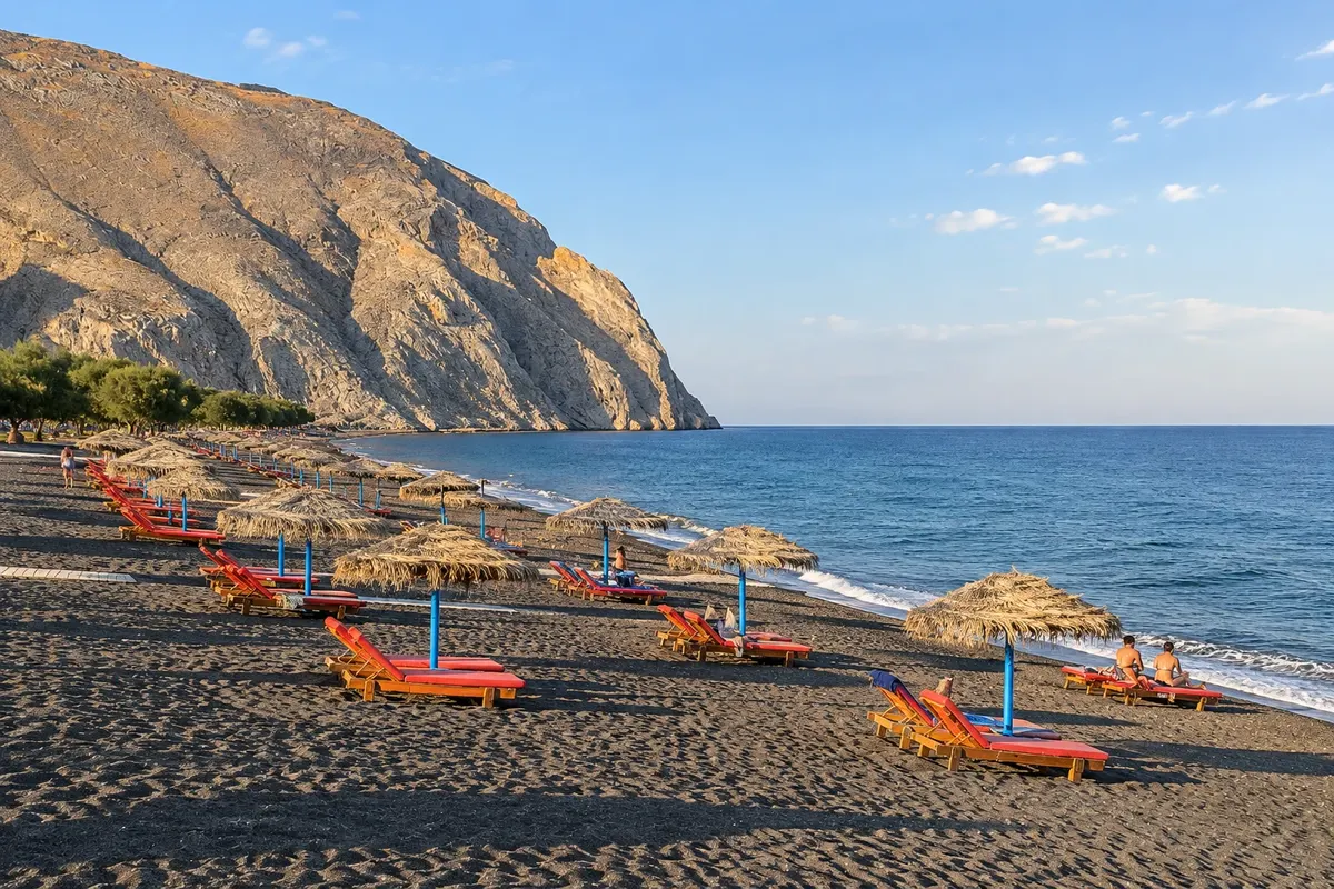
A long stretch of dark sand in the southeast of the island, at the foot of Mesa Vouno mountain, with parasols, restaurants and the fortified village of Emporio nearby.
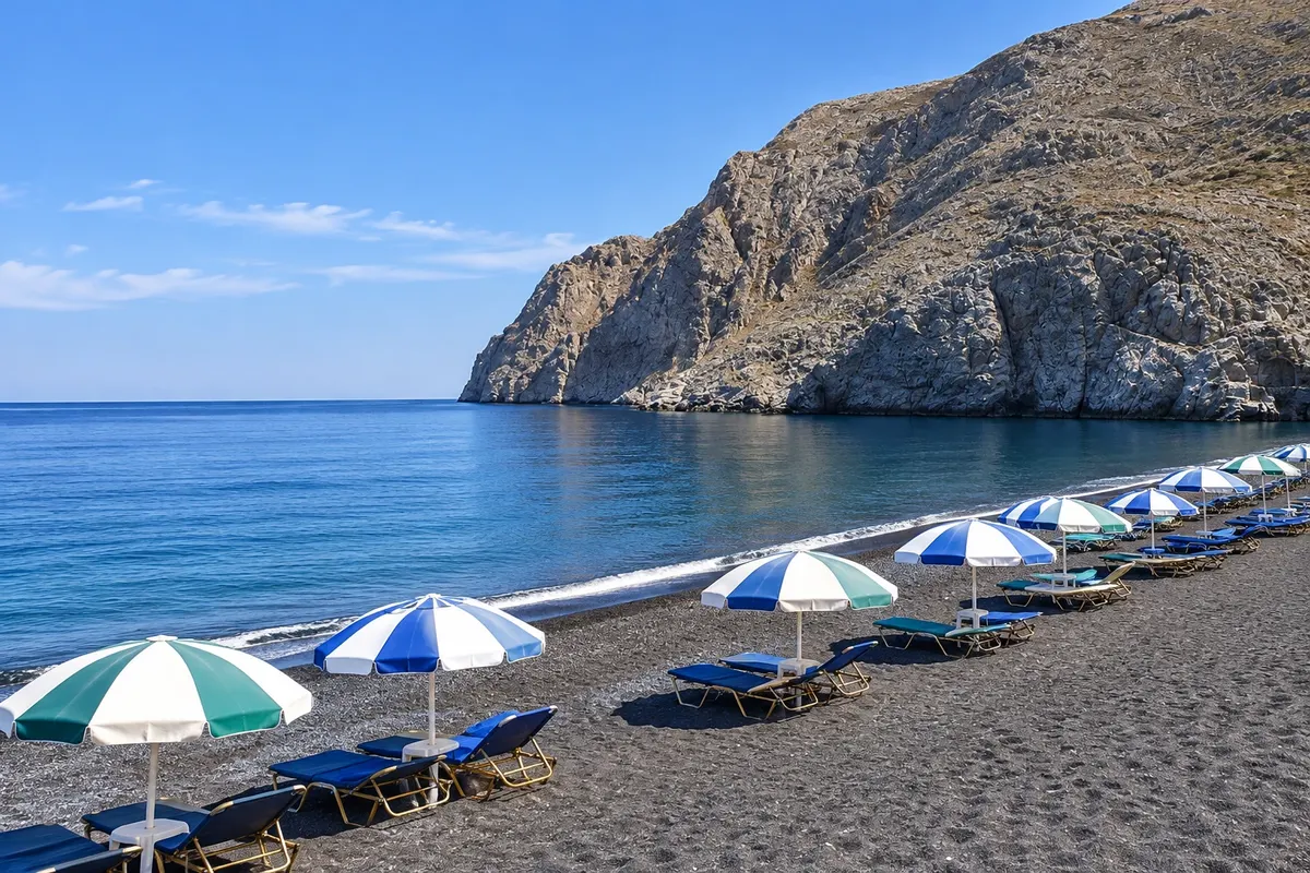
Organized beach of dark sand and pebbles on the east of the island, with a promenade of restaurants, an open-air cinema and the road that climbs to Thera Antiga.
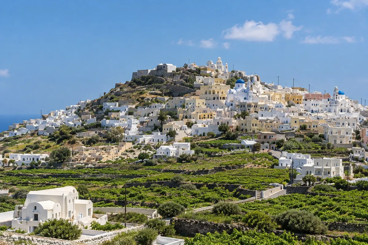
Medieval village on top of a hill in the center of the island, with the Venetian kastelli, churches and spiral alleys; from there the road climbs to the monastery of Profitis Ilias, the highest point of Santorini.
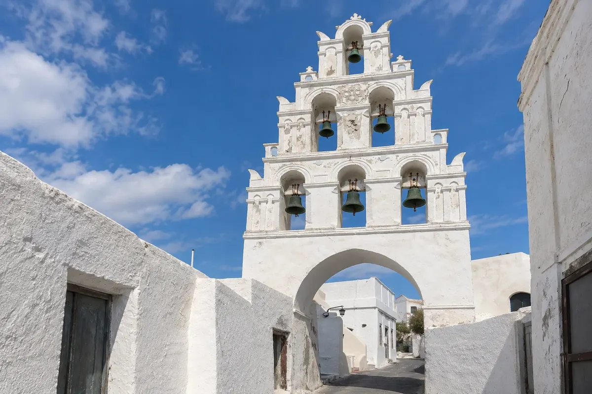
Wine village in the central-south of the island, with a shaded square, bell towers over the street, rock-cut cellars (canavas) and ship captains' houses.
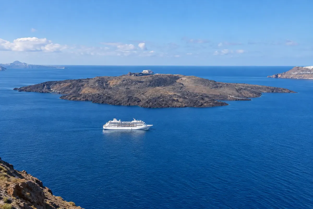
Boat trip around the caldera to the volcanic islets: a hike to the crater of Nea Kameni and a swim in the warm, iron-rich waters of Palea Kameni.
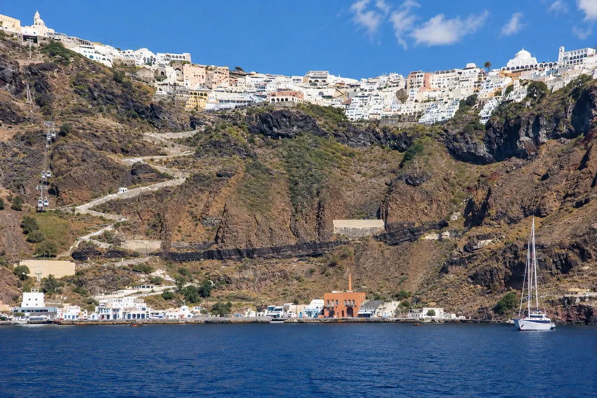
Cable car that connects Fira with the old port, 220 meters below, where cruise passengers arrive and the boats to the volcano depart; the alternative is the staircase of almost 600 steps.
Winery of the Santorini producers' cooperative, on the edge of the caldera near Pyrgos, with tasting terraces facing the volcano and tours of the production.
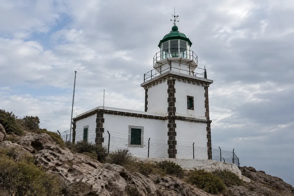
Lighthouse from 1892 at the southwest tip of the island, at the end of the road, with views over the entire caldera and the sunset without Oia's crowds.