

Rock formation
Pancake Rocks and Blowholes
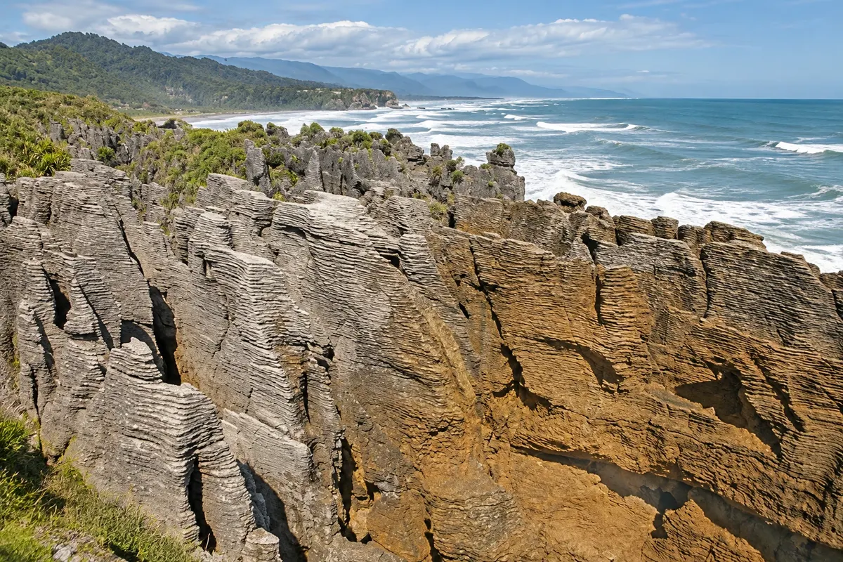
Layered limestone formations, like stacks of pancakes, at Dolomite Point within Paparoa National Park. At high tide with strong swell, the sea sprays through holes in the rock.

 Išči
 Brazilija
 Antarktika
 Argentina
 Bolivija
 Čile
 Kolumbija
 Ekvator
 Gvajana
 Francoska Gvajana
 Falklandski otoki (Malvini)
 Paragvaj
 Peru
 Surinam
 Urugvaj
 Venezuela
 Nemčija
 Avstrija
 Belgija
 Hrvaška
 Danska
 Slovaška
 Slovenija
 Španija
 Finska
 Francija
 Grčija
 Nizozemska
 Madžarska
 Irska
 Islandija
 Italija
 Luksemburg
 Norveška
 Poljska
 Portugalska
 Združeno kraljestvo
 Češka
 Švedska
 Švica
 Turčija
 Bermudi
 Kanada
 Združene države Amerike
 Grenlandija
 Mehika
 Sveta Peter in Mihael
 Dominikanska republika
 JaponskaTurčija
 Južnoafriška republika
 Egipt
 Avstralija
 FidžiNova Zelandija
 Papua Nova Gvineja
West Coast · Nova Zelandija
Destinacija: West Coast and the Glaciers.
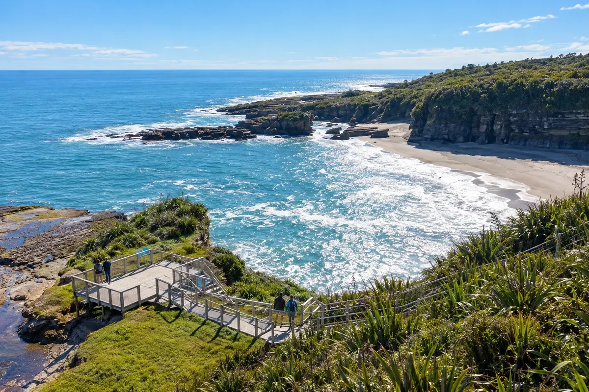
Na fotografiji: Punakaiki coastline beside the Truman Track
Illustrative images. The pictures in this guide are illustrations based on the real place, not photographs, and may differ from it.
Mesto
Punakaiki is a village of under one hundred residents on Highway 6, between Greymouth and Westport, on the edge of Paparoa National Park. It is known for the Pancake Rocks, layered limestone formations with holes where the sea sprays through, and has short forest walks such as the Truman Track and the Pororari River track.
V vodniku še ni nastanitev – Punakaiki.
kako do tja · koliko dni · načrt poti · vprašanja
Doživite kraj
Layered limestone formations, like stacks of pancakes, at Dolomite Point within Paparoa National Park. At high tide with strong swell, the sea sprays through holes in the rock.
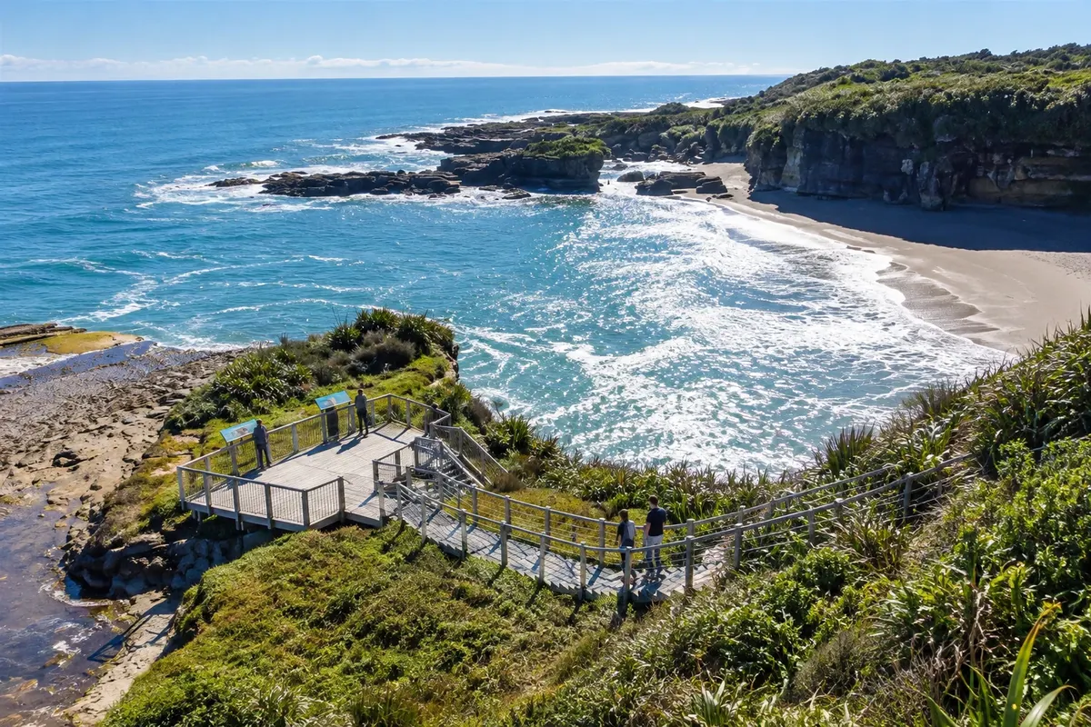
A short walk through coastal forest north of Punakaiki to a stony beach ringed by limestone cliffs, with a small waterfall and sea-carved caves.
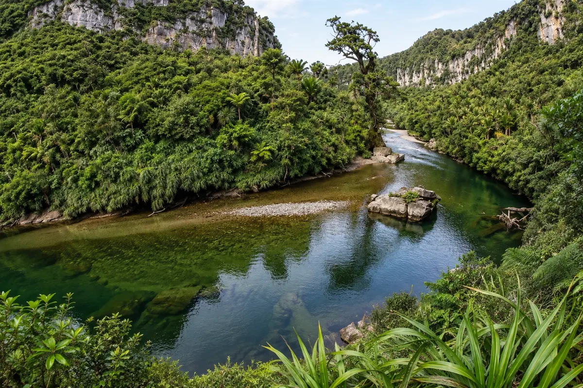
A level track through the limestone gorge of the Pororari River north of Punakaiki, among nikau palms and forest, with the green river running alongside. It can be combined with the Inland Pack Track as a circuit.
Pred odhodom
Punakaiki – West Coast Destinacija West Coast and the Glaciers
Razdalje so približne. Pred potovanjem preverite lete in vozne rede avtobusov, vlakov ali ladij.
It is on Highway 6, about 46 km north of Greymouth, where the TranzAlpine train arrives, and about 56 km south of Westport. Long-distance buses stop in the village.
Half a day for the Pancake Rocks and a short walk. With a full day, include the Pororari River track. The Paparoa Track requires two to three days.
Year-round. For the sprays at the Pancake Rocks, high tide with strong swell. From December to March the days are longer.
The seasons shown are the most usual ones; nature doesn't always follow the calendar.
It helps to plan, because the village is isolated and buses run infrequently. The Pancake Rocks and short walks are within walking distance of the village.
Predlog poti
Pot povezuje znamenitosti na tej strani. Za oglede boste imeli dovolj časa.
Walk the Pororari River track, which climbs through a limestone gorge among nikau palms and forest, starting from the bridge north of the village.
Do the Truman Track, a short forest walk to a stony beach with cliffs and a small waterfall that falls onto the sand.
Walk the Pancake Rocks circuit, preferably near high tide to see the sprays through the holes in the rock. Check the tide table at the visitor centre.
Dine in the village, which has few restaurants, or continue to Greymouth, about 45 minutes away.
Check before you go. Opening hours and days change, and places may close for renovations, holidays or events. This itinerary is a suggestion from Cidade Turismo, not a commitment: plan yours by checking directly with each place you intend to visit.
Pred odhodom
Around high tide with strong swell, when the sea sprays through the holes in the rock. At low tide the formations are still visible, but without the sprays.
About 46 km, roughly a 45-minute drive on Highway 6, along a coastal road.
It is one of New Zealand’s Great Walks: 55 km across the Paparoa Range, done on foot or by bike in two to three days, finishing near Punakaiki.
For those who want to see the Pancake Rocks at high tide and do the walks at a relaxed pace, yes. If you have limited time, it can also be a stop on the route between Westport and Greymouth.
Več kot vodnik


