

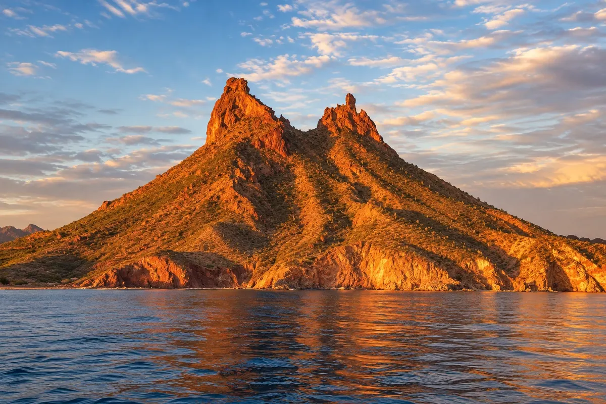
Mountain and trail
Tetakawi Hill
Two‑peaked volcanic hill above San Carlos bay, symbol of the village, with a trail to the top and views of the Sea of Cortez.

 Išči
 Brazilija
 Antarktika
 Argentina
 Bolivija
 Čile
 Kolumbija
 Ekvator
 Gvajana
 Francoska Gvajana
 Falklandski otoki (Malvini)
 Paragvaj
 Peru
 Surinam
 Urugvaj
 Venezuela
 Nemčija
 Avstrija
 Belgija
 Hrvaška
 Danska
 Slovaška
 Slovenija
 Španija
 Finska
 Francija
 Grčija
 Nizozemska
 Madžarska
 Irska
 Islandija
 Italija
 Luksemburg
 Norveška
 Poljska
 Portugalska
 Združeno kraljestvo
 Češka
 Švedska
 Švica
 Turčija
 Bermudi
 Kanada
 Združene države Amerike
 GrenlandijaMehika
 Sveta Peter in Mihael
 Dominikanska republika
 JaponskaTurčija
 Južnoafriška republika
 Egipt
 Avstralija
 Fidži
 Nova Zelandija
 Papua Nova Gvineja
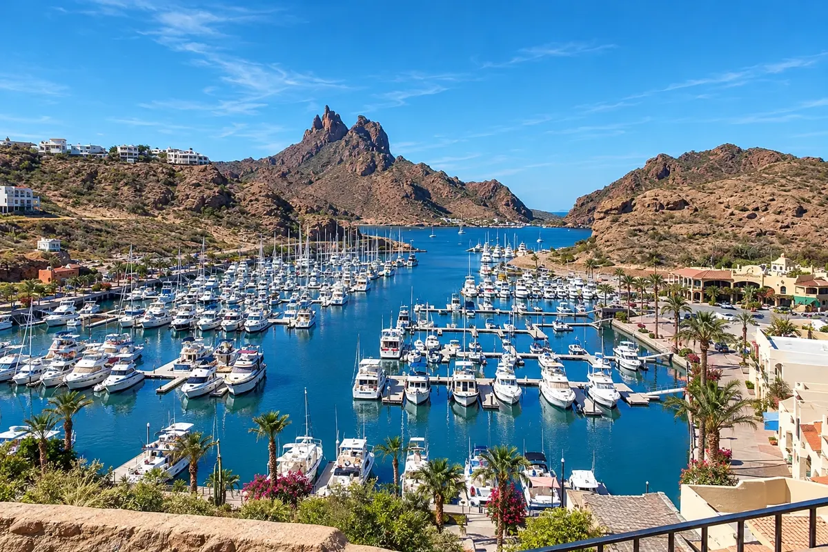
Sonora · Mehika
Destinacija: San Carlos and Guaymas.
Na fotografiji: Marina and bay of San Carlos, Sonora.
Illustrative images. The pictures in this guide are illustrations based on the real place, not photographs, and may differ from it.
Mesto
San Carlos is a beach village with marinas in the municipality of Guaymas, on the Sea of Cortez coast, between volcanic mountains and the Sonora desert. The two‑peaked Cerro Tetakawi marks the bay. It has the Mirador Escénico, Los Algodones beach, coves for diving and boat trips to San Pedro Nolasco Island.
V vodniku še ni nastanitev – San Carlos.
kako do tja · koliko dni · načrt poti · vprašanja
Doživite kraj
Two‑peaked volcanic hill above San Carlos bay, symbol of the village, with a trail to the top and views of the Sea of Cortez.
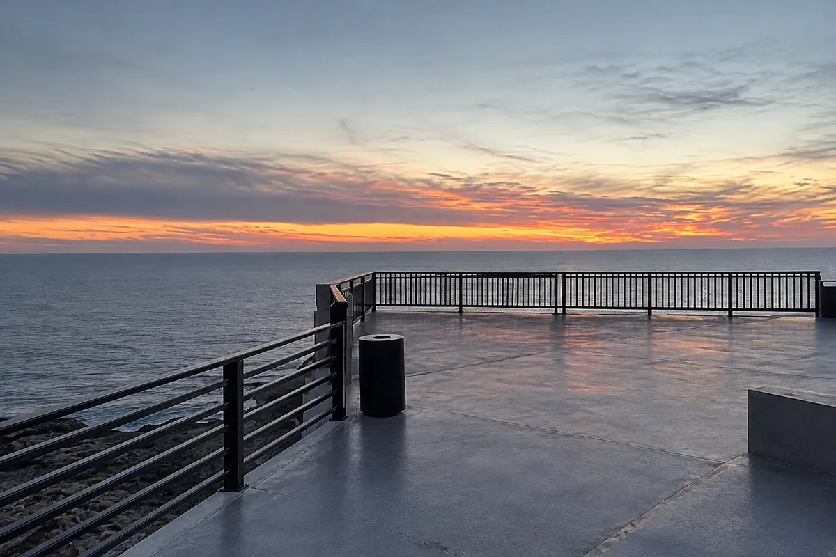
Lookout over the coves of San Carlos, with views of the cliffs, blue water and the gulf’s islands.
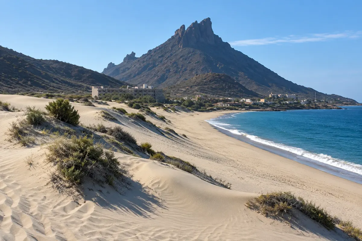
Long beach of light sand and dunes at the foot of the range, north of San Carlos, facing the Sea of Cortez.
Pred odhodom
San Carlos – Sonora
Razdalje so približne. Pred potovanjem preverite lete in vozne rede avtobusov, vlakov ali ladij.
Guaymas International Airport (GYM) is about 15 km away, with taxis. From Hermosillo it is about 130 km via Federal Highway 15, around 1h30. There are buses from Hermosillo to Guaymas and from Guaymas to San Carlos.
Two or three days.
From October to May, with mild weather and sea conditions good for diving. Summer is very hot.
The seasons shown are the most usual ones; nature doesn't always follow the calendar.
It helps, because the beaches and the mirador are spread out. There are local taxis and buses.
Predlog poti
Pot povezuje znamenitosti na tej strani. Za oglede boste imeli dovolj časa.
Do the Cerro Tetakawi hike early, before the heat.
Have lunch near the marina and watch the boats.
Finish at the Mirador Escénico for sunset.
Dan 2
Take a boat trip to San Pedro Nolasco Island.
Spend the afternoon at Los Algodones beach.
Check before you go. Opening hours and days change, and places may close for renovations, holidays or events. This itinerary is a suggestion from Cidade Turismo, not a commitment: plan yours by checking directly with each place you intend to visit.
Pred odhodom
Climb Cerro Tetakawi, watch the sunset at the Mirador Escénico, go to Los Algodones beach and take a boat trip or dive.
San Carlos is in the municipality of Guaymas, but is a separate locality, about 20 km from the port center.
About 130 km, roughly 1h30 by car.
UTC−7 year‑round, no daylight saving time (Mexico Pacific Time).
Več kot vodnik


