

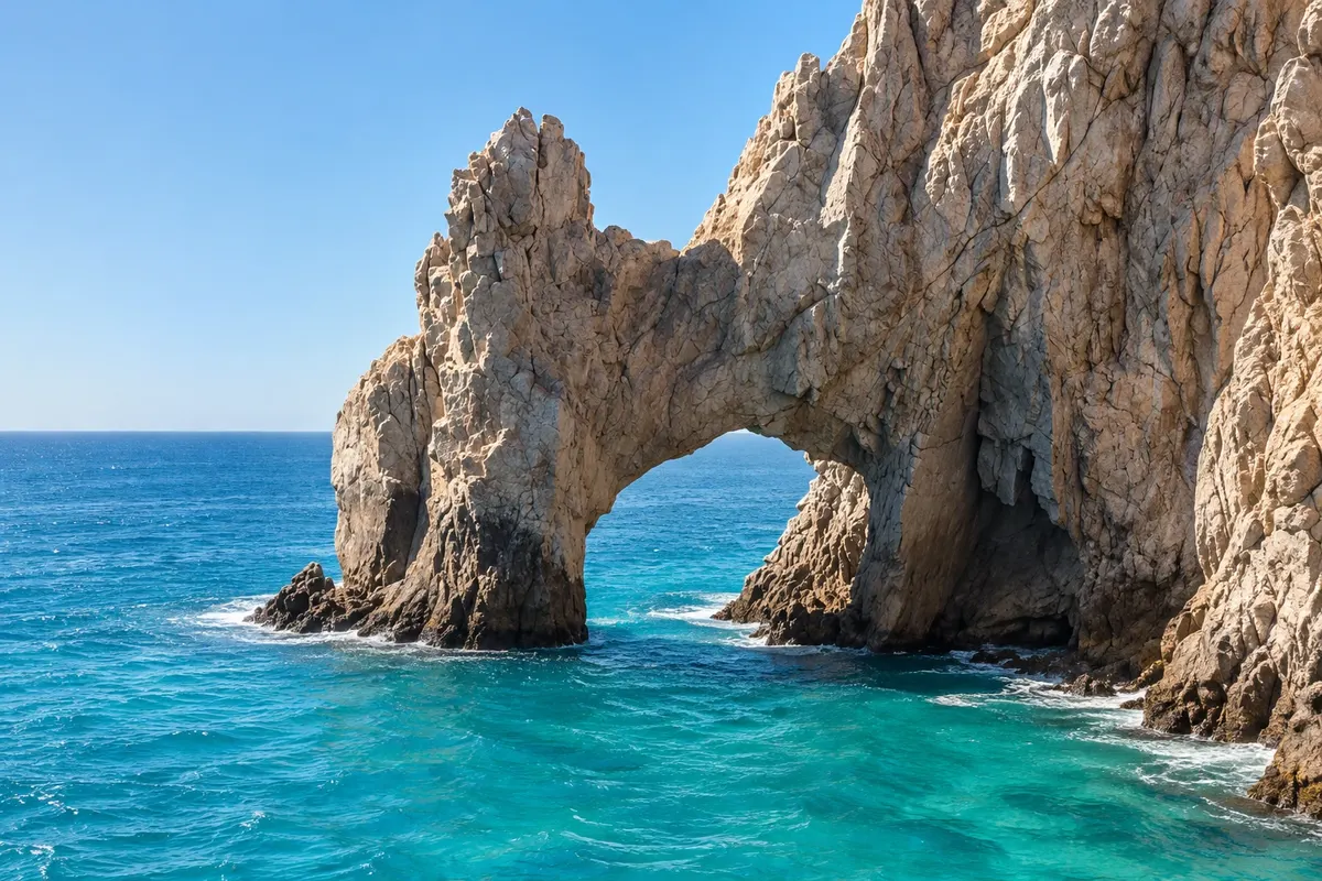
Rock formation
El Arco (Land's End)
The granite arch at the southern tip of the Baja California peninsula, where the Pacific meets the Gulf, with a sea lion colony.

 Išči
 Brazilija
 Antarktika
 Argentina
 Bolivija
 Čile
 Kolumbija
 Ekvator
 Gvajana
 Francoska Gvajana
 Falklandski otoki (Malvini)
 Paragvaj
 Peru
 Surinam
 Urugvaj
 Venezuela
 Nemčija
 Avstrija
 Belgija
 Hrvaška
 Danska
 Slovaška
 Slovenija
 Španija
 Finska
 Francija
 Grčija
 Nizozemska
 Madžarska
 Irska
 Islandija
 Italija
 Luksemburg
 Norveška
 Poljska
 Portugalska
 Združeno kraljestvo
 Češka
 Švedska
 Švica
 Turčija
 Bermudi
 Kanada
 Združene države Amerike
 GrenlandijaMehika
 Sveta Peter in Mihael
 Dominikanska republika
 JaponskaTurčija
 Južnoafriška republika
 Egipt
 Avstralija
 Fidži
 Nova Zelandija
 Papua Nova Gvineja
Baixa Califórnia do Sul · Mehika
Destinacija: Los Cabos.
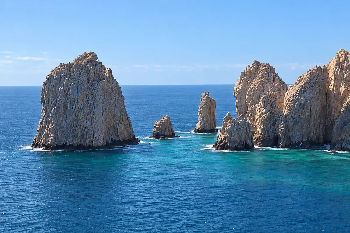
Na fotografiji: Rock formations of Land's End, Cabo San Lucas
Illustrative images. The pictures in this guide are illustrations based on the real place, not photographs, and may differ from it.
Mesto
Cabo San Lucas is the port at the southern tip of the Baja California peninsula, next to El Arco, the stone arch that marks the meeting of the Pacific with the Gulf of California. The marina concentrates tour boats, sport-fishing and diving; El Médano beach lies in front of the bay, and Playa del Amor is among the rocks of Land's End. On the way to San José, the Corridor has the coves of Chileno and Santa María.
V vodniku še ni nastanitev – Cabo San Lucas.
kako do tja · koliko dni · načrt poti · vprašanja
Doživite kraj
The granite arch at the southern tip of the Baja California peninsula, where the Pacific meets the Gulf, with a sea lion colony.
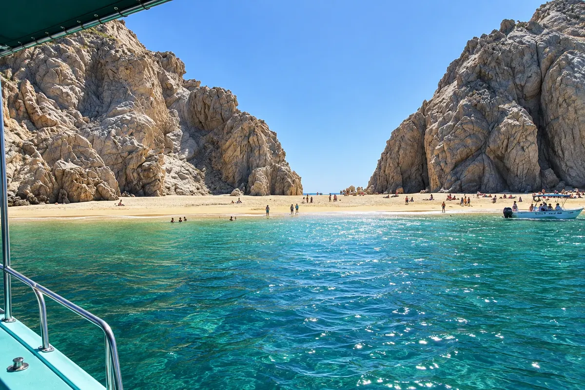
Small beach among the rocks of Land's End, with one side to the Gulf and the other to the Pacific, accessible by boat from the marina.
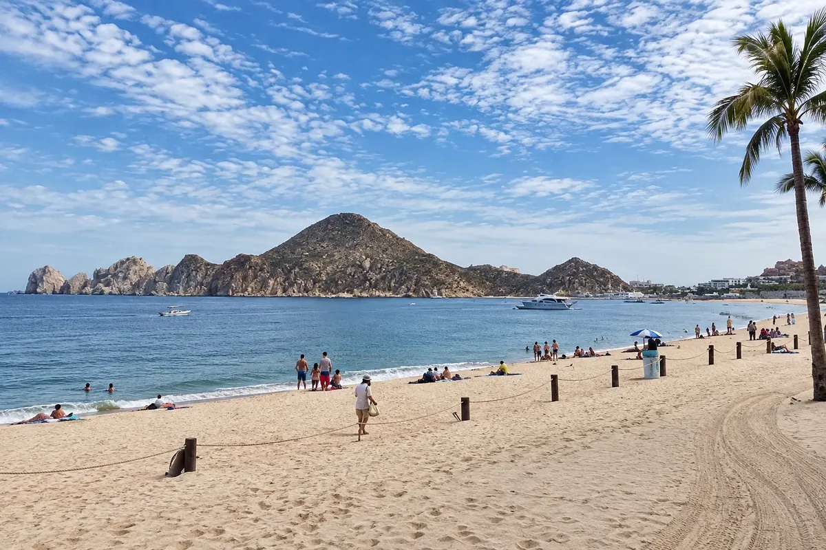
The main beach of Cabo San Lucas, in front of the bay, generally calm waters, with a view toward El Arco and water sports.
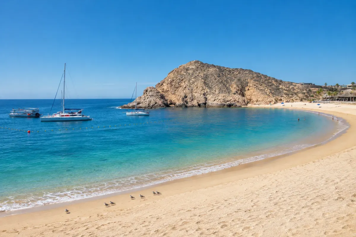
Protected cove on the Corridor between the two towns, with calm, clear waters and rocky reefs for snorkeling.
Pred odhodom
Cabo San Lucas – Baja California Sur Destinacija Los Cabos približno 155 km stran (izhodišče: La Paz)
Razdalje so približne. Pred potovanjem preverite lete in vozne rede avtobusov, vlakov ali ladij.
From Los Cabos airport (SJD) it’s about 45 km via the Tourist Corridor, by taxi, shared shuttle or rental car. From San José del Cabo, bus and taxi take about 40 minutes.
Two days: one for the boat to El Arco and El Médano beach, another for the Corridor coves. More days for fishing, diving or whale-watching tours.
November to May, with calmer seas and whales from December to April. From July to September heat and humidity are strong.
The seasons shown are the most usual ones; nature doesn't always follow the calendar.
Not needed for the town center and the marina. For the Corridor beaches and Todos Santos, a rental car or organized tours help; there are buses along the Corridor.
Predlog poti
Pot povezuje znamenitosti na tej strani. Za oglede boste imeli dovolj časa.
Leave the marina on a glass-bottom boat or water taxi to El Arco and the sea lion colony, with a stop at Playa del Amor if the sea allows.
Return to El Médano beach, in front of the bay, with calm water and a distant view of the Arch.
Walk along the marina promenade, with fishing boats arriving.
Have dinner in the center, around the marina and Amelia Wilkes square.
Dan 2
Snorkel in Santa María cove, on the Corridor, with calm waters.
Head to Playa Chileno next door, with public facilities for restrooms and shade.
Watch the sunset on one of the Pacific-side beaches, just for a walk.
Dinner at the marina.
Check before you go. Opening hours and days change, and places may close for renovations, holidays or events. This itinerary is a suggestion from Cidade Turismo, not a commitment: plan yours by checking directly with each place you intend to visit.
Pred odhodom
answer
answer
answer
answer
Več kot vodnik


