Los Cabos

Baja California Sur · Mehika

Los Cabos

The tip of the Baja California peninsula, where the Pacific meets the Gulf of California: El Arco, Playa del Amor, whales in winter and the village of Todos Santos.

Baja California (Los Cabos and La Paz)

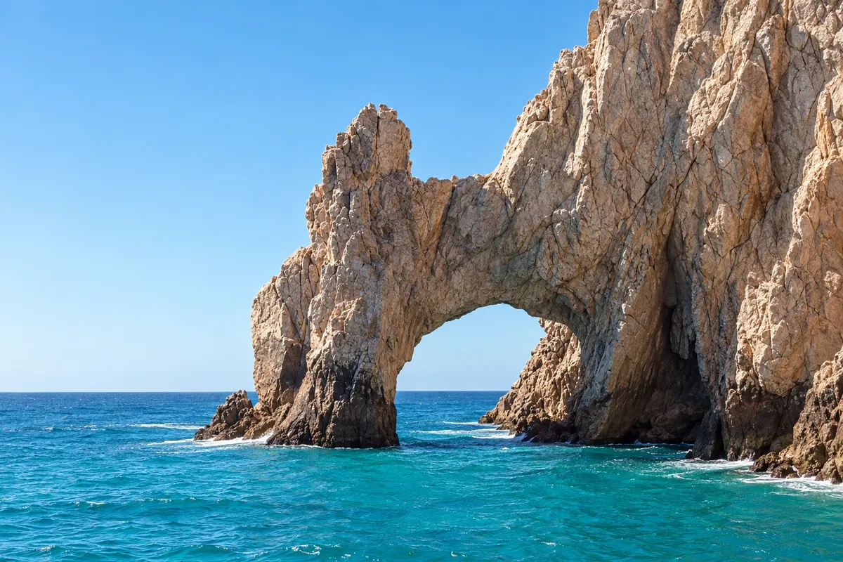
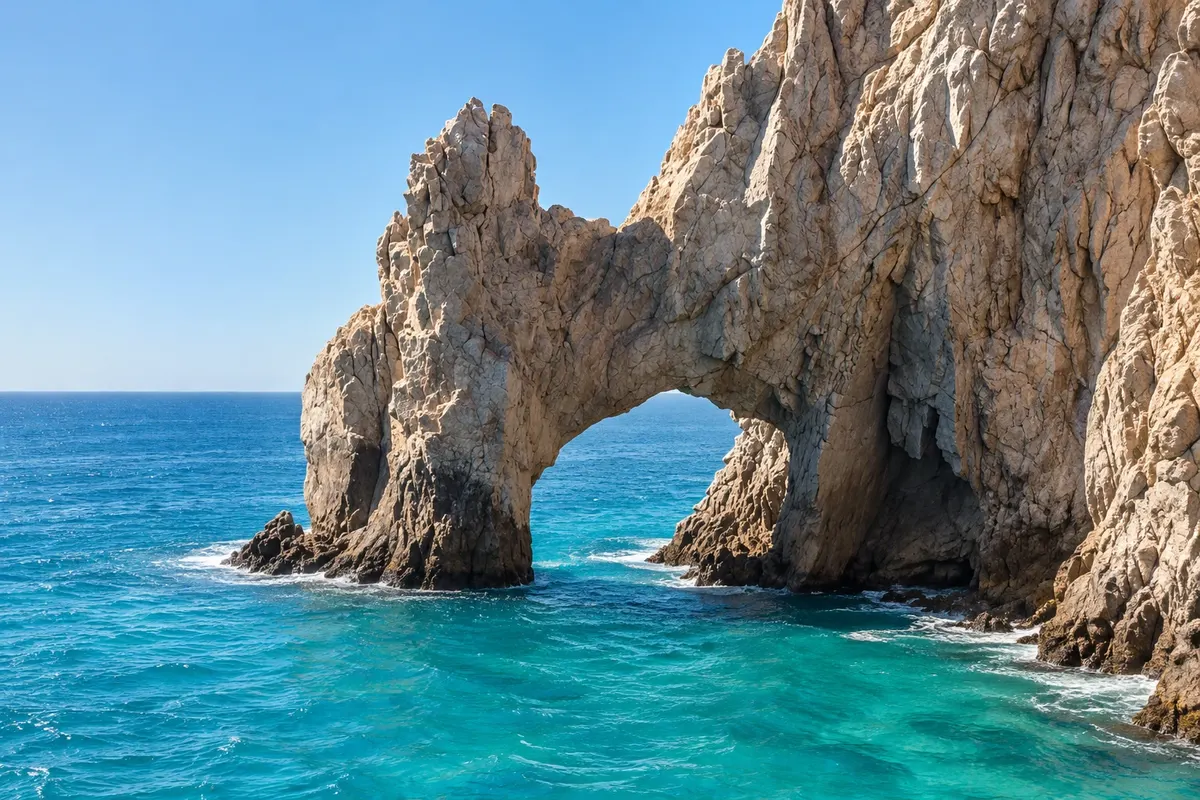
Na fotografiji: The iconic Arco de Cabo San Lucas at the tip of the peninsula.

Illustrative images. The pictures in this guide are illustrations based on the real place, not photographs, and may differ from it.

Na voljo v trgovini Google Play Pošljite svoje fotografije

Spoznajte kraj

Pokrajina, ki jo doživite
v svojem ritmu.

Los Cabos is the name of the municipality at the southern tip of the Baja California peninsula, in the state of Baja California Sur. It comprises two towns linked by a roughly 30 km highway called the Tourist Corridor: San José del Cabo, the old town with the airport, and Cabo San Lucas, the port and marina next to the stone arch that marks the peninsula’s end.

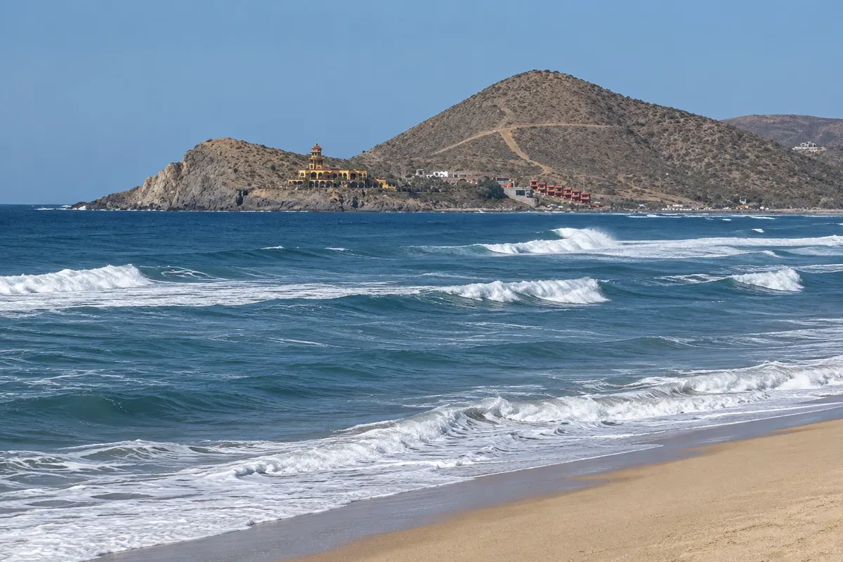
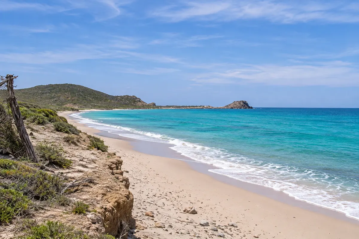
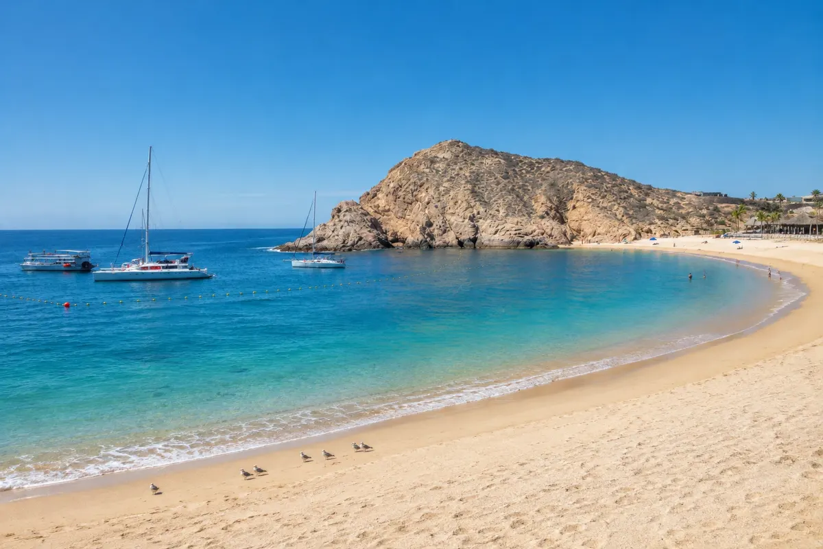
The landscape is desert meeting the sea: dry mountains, cacti and light-sand beaches. On the Gulf of California side, also called the Sea of Cortez, the waters are calmer and there are coves good for swimming and snorkeling, such as Chileno and Santa María. On the Pacific side, the sea usually has strong waves and currents, and the beaches are for walking and watching the sunset.

From December to April, humpback whales often pass along the coast, and boat tours depart from Cabo San Lucas and San José. To the north, about an hour away, Todos Santos is a village of old houses on the Tropic of Cancer with surf beaches. To the east, Cabo Pulmo National Park protects a coral reef in the Gulf.

The climate is dry most of the year and the sun is strong. In resorts and marinas English is widely used.

This destination brings together 3 cities: San José del Cabo, Cabo San Lucas, Todos Santos.

Delite: WhatsApp
Delite svoja popotniška doživetja s fotografijami Pošljite fotografije vsakega kraja, ki ste ga obiskali. Največje število fotografij na kraj: 5.

Ena destinacija, več poti

Mesta na tej poti

Začnite v enem mestu ali v načrt poti vključite več mest.

Los Cabos – lega
Cabo San LucasSan José del CaboTodos Santos

Meje: INEGI / geoBoundaries (CC BY 3.0 IGO). Priredba: Cidade Turismo.

Kako do tja:Los Cabos

✈ Aeropuerto Internacional de Los Cabos (SJD)· 13 km do cilja (San José del Cabo)

Check before you buy. Los Cabos International Airport (SJD) is near San José del Cabo, about 45 km from Cabo San Lucas.

Predlagana točka prihoda:San José del Cabo

Doživite kraj

Kaj početi – Los Cabos

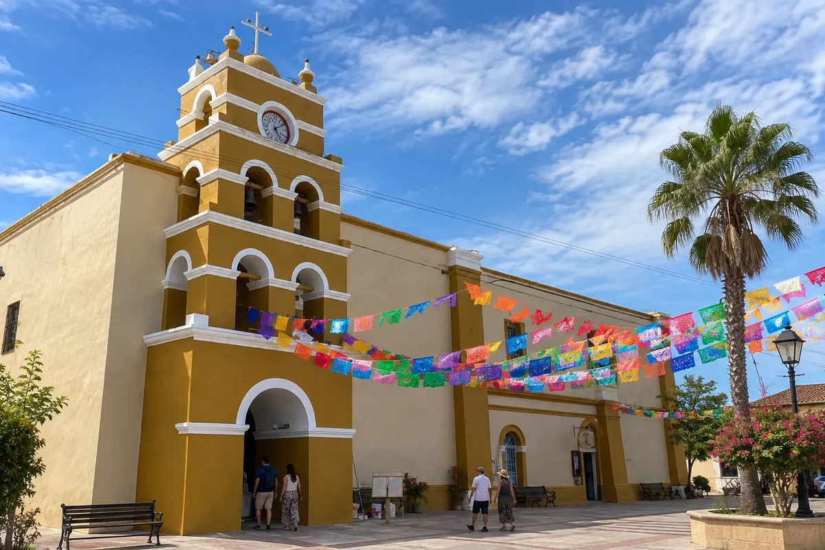
Historic Center and Mission of Our Lady of the Pillar
Todos Santos · Baja California Sur · Staro mestno jedro

Historic Center and Mission of Our Lady of the Pillar

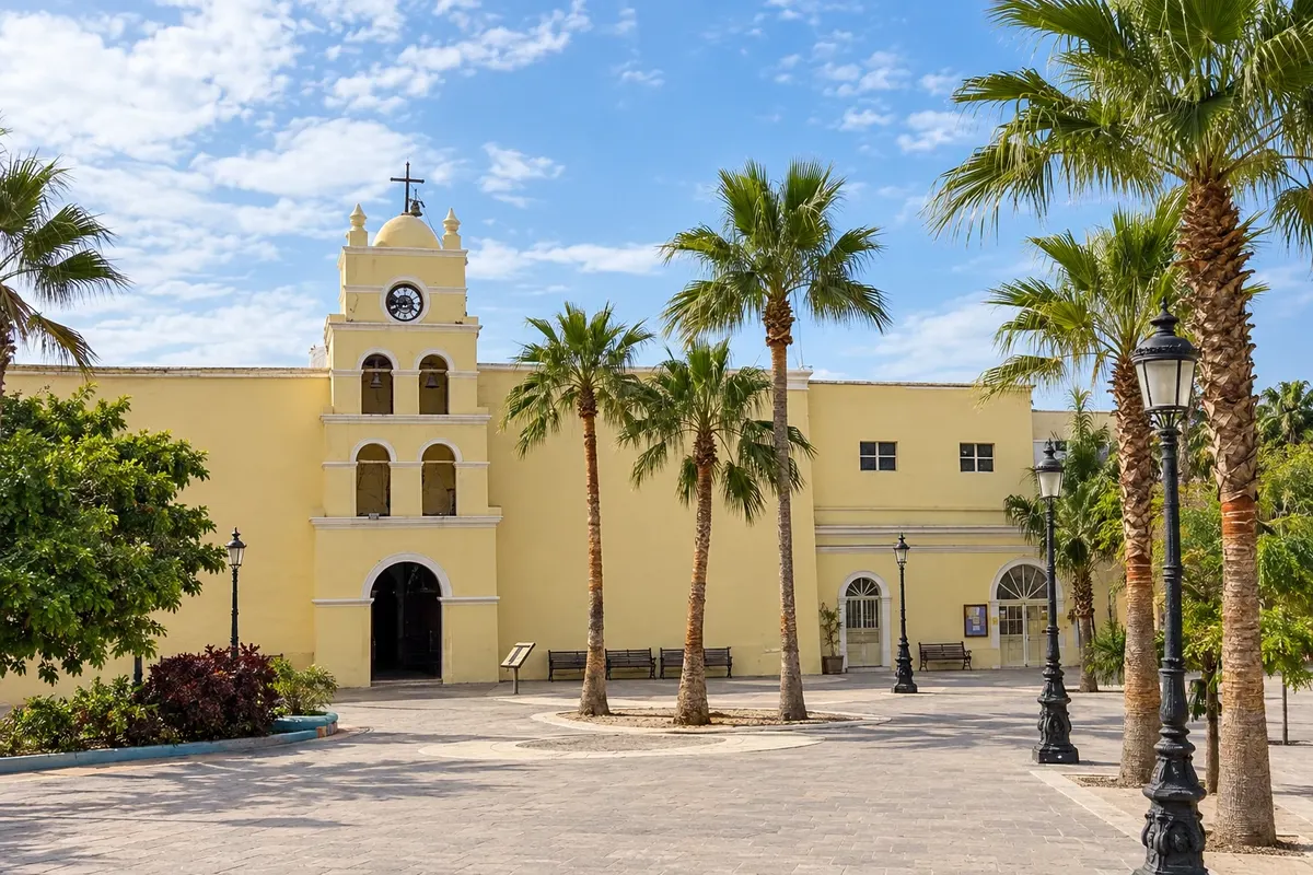
The village of adobe houses around the plaza and the mission church founded in 1723, with galleries and the cultural center.

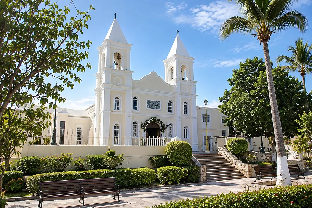
Historic Center and Mission of San José del Cabo
San José del Cabo · Baja California Sur · Staro mestno jedro

Historic Center and Mission of San José del Cabo

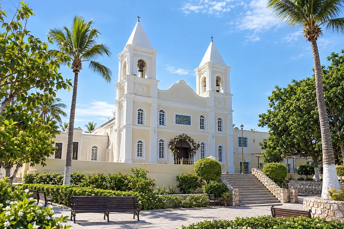
Mijares Plaza, the Jesuit mission church founded in 1730, and the gallery-lined streets of the old center of San José del Cabo.

El Arco (Land's End)
Cabo San Lucas · Baja California Sur · Rock formation

El Arco (Land's End)

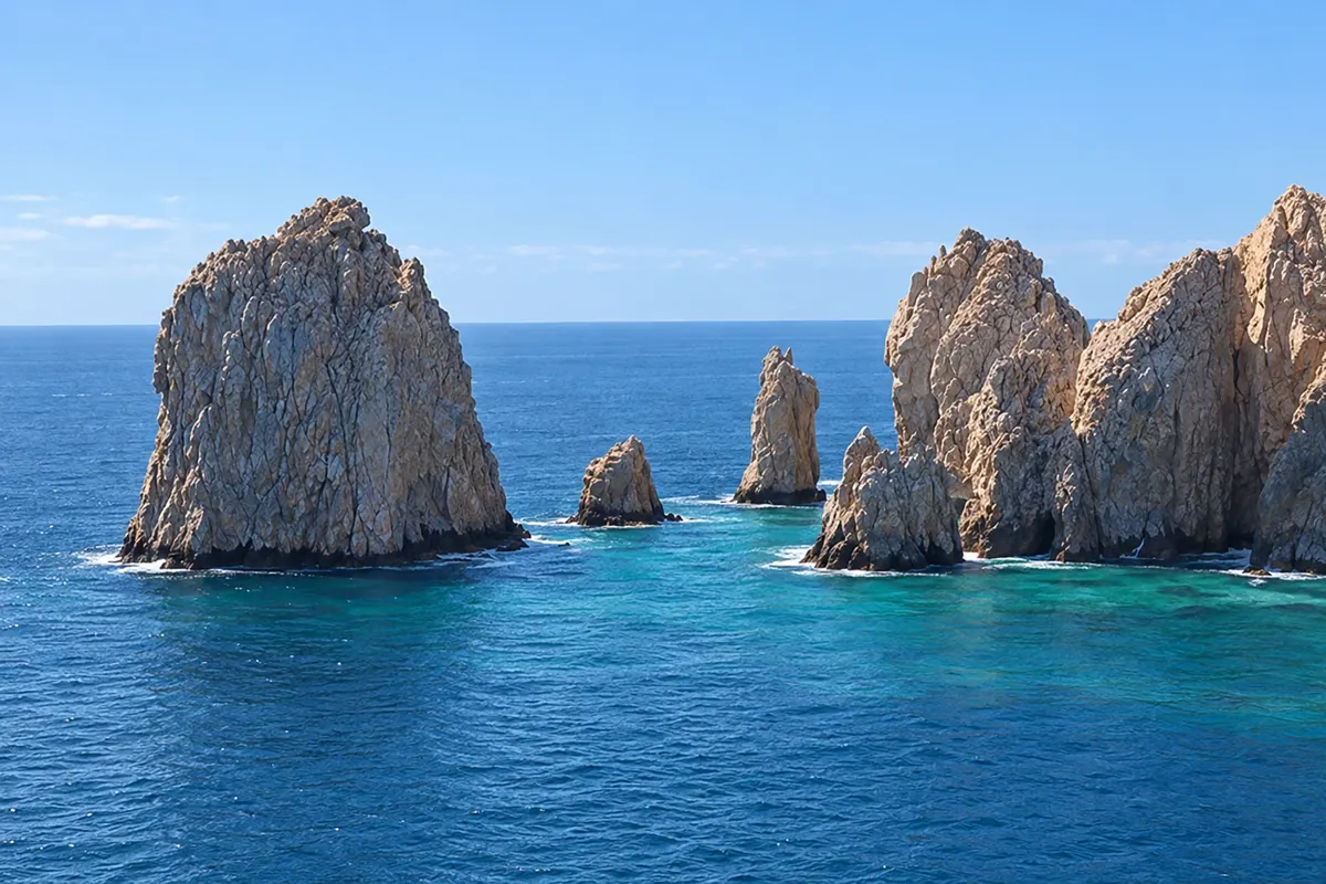
The granite arch at the southern tip of the Baja California peninsula, where the Pacific meets the Gulf, with a sea lion colony.

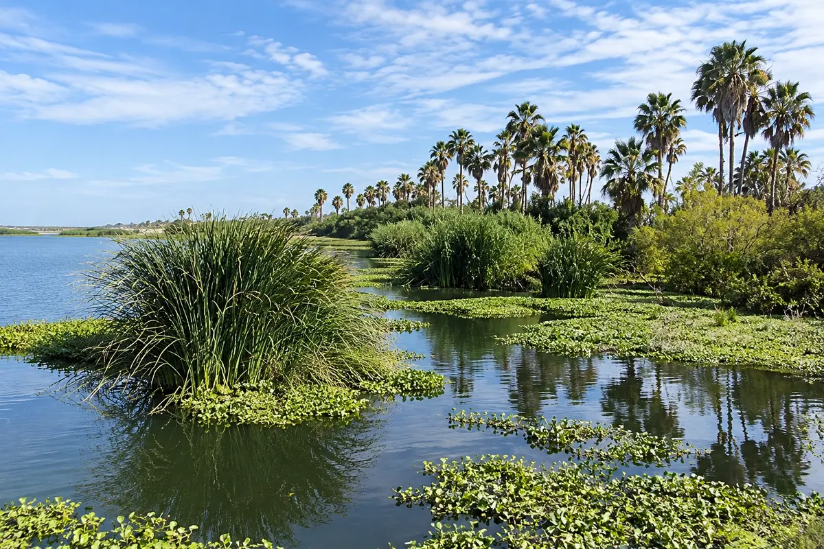
San José Estuary
San José del Cabo · Baja California Sur · Natural area

San José Estuary

The estuary of the San José River, fresh water next to the sea, with palm trees, reeds, and birds, between the town center and the beach.

Los Cabos – prikaži dodatne kraje (5)
Los Cerritos Beach
Todos Santos · Baja California Sur · Plaža

Los Cerritos Beach

Light-sand beach on the Pacific, south of Todos Santos, with waves for learning to surf and sunsets over the sea.

Lover's Beach
Cabo San Lucas · Baja California Sur · Plaža

Lover's Beach

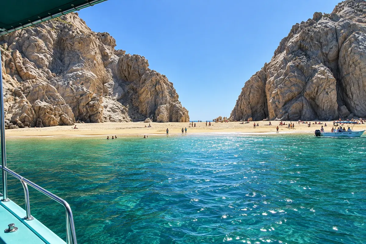
Small beach among the rocks of Land's End, with one side to the Gulf and the other to the Pacific, accessible by boat from the marina.

Cabo Pulmo National Park
San José del Cabo · Baja California Sur · Marine national park

Cabo Pulmo National Park

Protected coral reef in the Gulf of California, a national park since 1995 and part of the World Heritage of the Gulf islands, offering diving and snorkeling.

Playa El Médano (Medano Beach)
Cabo San Lucas · Baja California Sur · Plaža

Playa El Médano (Medano Beach)

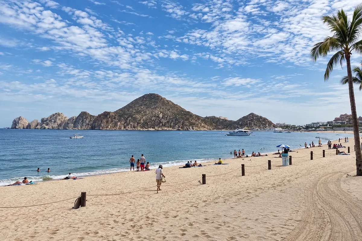
The main beach of Cabo San Lucas, in front of the bay, generally calm waters, with a view toward El Arco and water sports.

Santa María Bay
Cabo San Lucas · Baja California Sur · Beach and snorkel area

Santa María Bay

Protected cove on the Corridor between the two towns, with calm, clear waters and rocky reefs for snorkeling.

Pred odhodom

Praktične informacije

Z nekaj načrtovanja boste imeli več časa za uživanje na poti.

Kdaj se odpraviti

November to May, with sunny days, calmer seas on the Gulf and whales from December to April. From July to September it is very hot and humid, and the coast lies in the hurricane corridor from June to November.

The seasons shown are the most usual ones; nature doesn't always follow the calendar.

Koliko dni ostati

Five days allow you to split time between the Corridor beaches, the boat trip to the Arch, San José and a day in Todos Santos. With a week you can add Cabo Pulmo and fishing or diving.

V katerem mestu prenočiti

San José del Cabo is quieter, with an old town center and hotels by the beach. Cabo San Lucas concentrates the marina, boats and nightlife. The Corridor between the two towns hosts most of the resorts, each with its own beaches. Todos Santos has small guesthouses for those who prefer the village.

Spoštujte kraj

Odnesite svoje odpadke, upoštevajte oznake in podprite lokalne ponudnike. V naravi upoštevajte navodila za obiskovalce.

Odgovori na vaša vprašanja

Pogosta vprašanja – Los Cabos

question

answer

question

answer

question

answer

question

answer

question

answer

Odkrijte druge destinacije Iskanje po zvezni državi in mestu

Več kot vodnik