

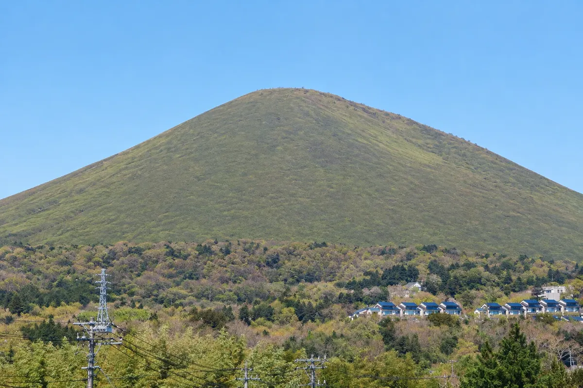
Volcano
Mount Omuro
A 580-meter grassy volcanic cone on the Izu Kogen plateau in Ito. You reach it by chairlift, and the crater rim is walked on foot, with views of the sea, the Izu islands and Mount Fuji.

 Išči
 Brazilija
 Antarktika
 Argentina
 Bolivija
 Čile
 Kolumbija
 Ekvator
 Gvajana
 Francoska Gvajana
 Falklandski otoki (Malvini)
 Paragvaj
 Peru
 Surinam
 Urugvaj
 Venezuela
 Nemčija
 Avstrija
 Belgija
 Hrvaška
 Danska
 Slovaška
 Slovenija
 Španija
 Finska
 Francija
 Grčija
 Nizozemska
 Madžarska
 Irska
 Islandija
 Italija
 Luksemburg
 Norveška
 Poljska
 Portugalska
 Združeno kraljestvo
 Češka
 Švedska
 Švica
 Turčija
 Bermudi
 Kanada
 Združene države Amerike
 Grenlandija
 Mehika
 Sveta Peter in Mihael
 Dominikanska republikaJaponskaTurčija
 Južnoafriška republika
 Egipt
 Avstralija
 Fidži
 Nova Zelandija
 Papua Nova Gvineja
Shizuoka · Japonska
Destinacija: Izu Peninsula.
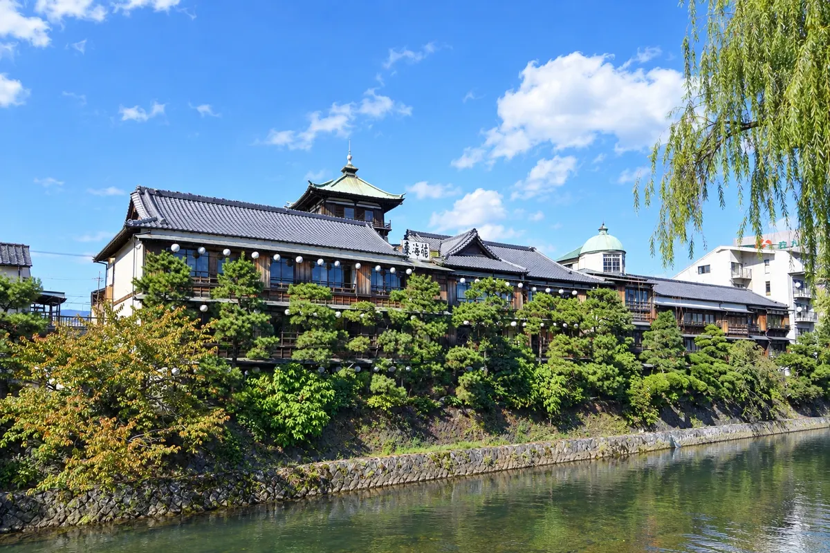
Na fotografiji: Tokaikan and the Matsukawa River in Ito.
Illustrative images. The pictures in this guide are illustrations based on the real place, not photographs, and may differ from it.
Mesto
A hot-spring resort on the east coast of the Izu Peninsula, Ito has hundreds of springs, bathing houses and the former wooden ryokan Tokaikan, by the Okawa River. To the south, in the Izu Kogen area, are the cone of Mount Omuro, reached by a chairlift, and the Jogasaki coast, with lava cliffs and a suspension bridge over the sea.
V vodniku še ni nastanitev – Itō.
kako do tja · koliko dni · načrt poti · vprašanja
Doživite kraj
A 580-meter grassy volcanic cone on the Izu Kogen plateau in Ito. You reach it by chairlift, and the crater rim is walked on foot, with views of the sea, the Izu islands and Mount Fuji.
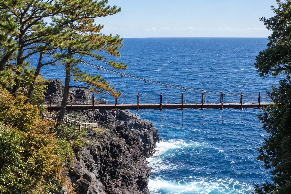
A coastline of black lava cliffs formed by an eruption from Mount Omuro, featuring the Kadowaki suspension bridge 23 meters above the sea, a lighthouse and cliff-edge trails.
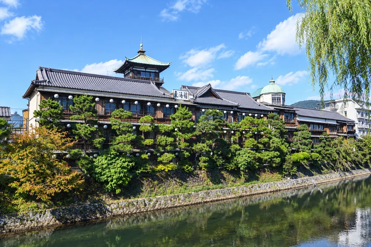
Former three-story wooden ryokan from 1928, on the banks of the Okawa River in central Ito, now open as a cultural center, with tatami rooms, an observation tower and a hot-spring bath on some days.
Pred odhodom
Itō – Shizuoka Destinacija Izu Peninsula
Razdalje so približne. Pred potovanjem preverite lete in vozne rede avtobusov, vlakov ali ladij.
The Odoriko and Saphir Odoriko limited express trains connect Tokyo to Ito in about 1 hour 45 minutes. Another option is the shinkansen to Atami and the JR Ito Line, about 25 minutes. For Izu Kogen and Jogasaki, take the Izukyu Line or a bus from the station.
A full day covers the town center, Mount Omuro and the Jogasaki coast. With two days, you’ll have time for the baths, the small museums of Izu Kogen and an unhurried late afternoon.
Spring and autumn usually have mild days. Summer is hot and humid, with crowded beaches. Typhoons occur with some frequency from August to October. In winter the weather is typically dry and mild, and in February there is the annual burning of the grass on Mount Omuro.
The seasons shown are the most usual ones; nature doesn't always follow the calendar.
No. The Izukyu Line links the center to Kawana, Izu Kogen and Jogasaki-Kaigan, and buses leave Ito Station for Mount Omuro. A car only helps if you want to combine several attractions on the plateau in the same day.
Predlog poti
Pot povezuje znamenitosti na tej strani. Za oglede boste imeli dovolj časa.
Take a bus to Mount Omuro, ride the chairlift and walk around the rim of the crater, with sea views and, on clear days, views of Mount Fuji.
Take a bus down to the Jogasaki coast, cross the Kadowaki suspension bridge and walk the cliff trail to the lighthouse.
Return to Ito’s center and visit the Tokaikan, the former wooden ryokan on the banks of the Okawa River.
Finish at one of the public bathing houses in town and dine on fresh port fish at a restaurant near the station.
Check before you go. Opening hours and days change, and places may close for renovations, holidays or events. This itinerary is a suggestion from Cidade Turismo, not a commitment: plan yours by checking directly with each place you intend to visit.
Pred odhodom
Ride the chairlift up Mount Omuro, walk the Jogasaki coast, visit the Tokaikan and bathe at one of the town’s hot spring houses.
By bus from Ito Station, about 40 minutes. You can also get off at Izu Kogen Station on the Izukyu Line and continue by bus or taxi.
Yes. The center has traditional public baths used by locals, besides hotel springs. Bring a towel or rent one at the entrance.
Atami is more convenient for shinkansen arrivals and has livelier nights. Ito is closer to Mount Omuro and the Jogasaki coast, and is quieter.
Več kot vodnik


