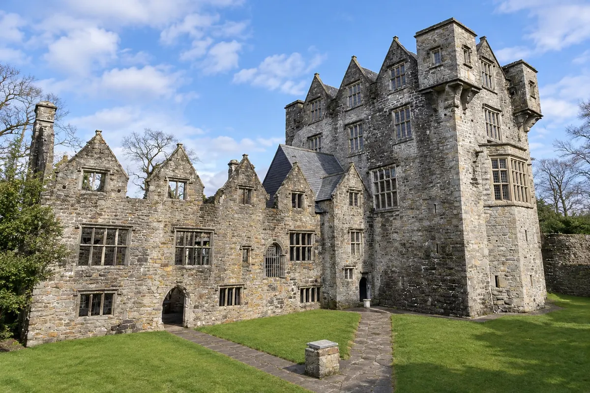
Donegal Castle
15th-century tower of the O'Donnells, chiefs of Tír Chonaill, on the banks of the River Eske; enlarged in the 17th century with a Jacobean house by the Englishman Basil Brooke, restored and furnished.
Antarktika
Donegal · Irska
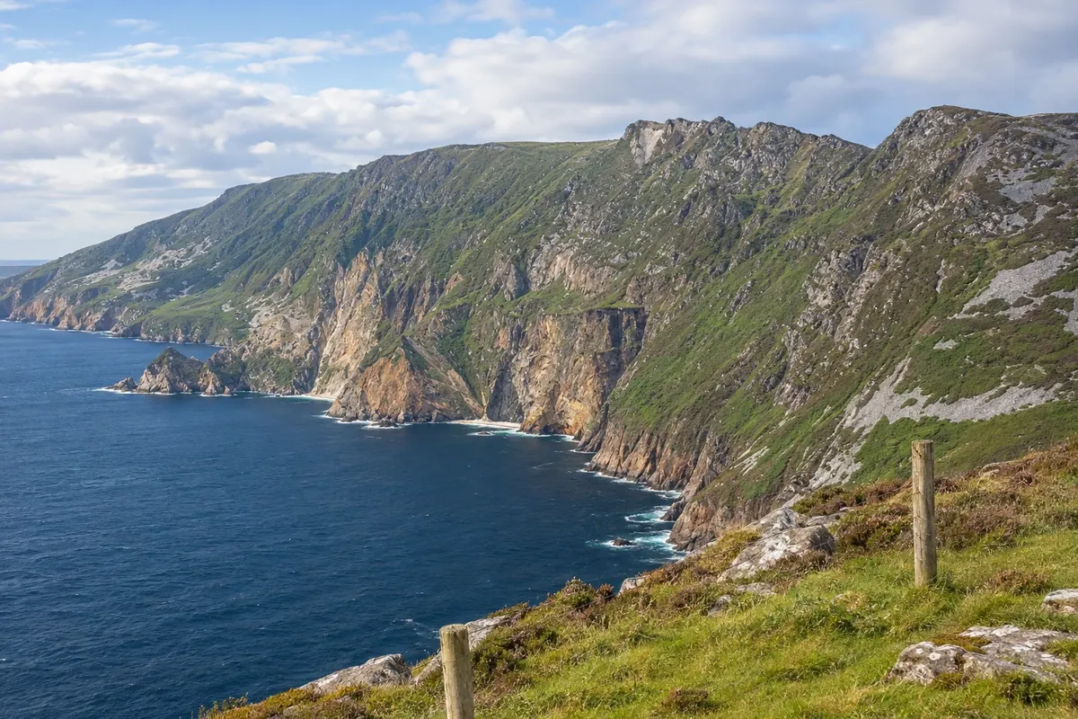
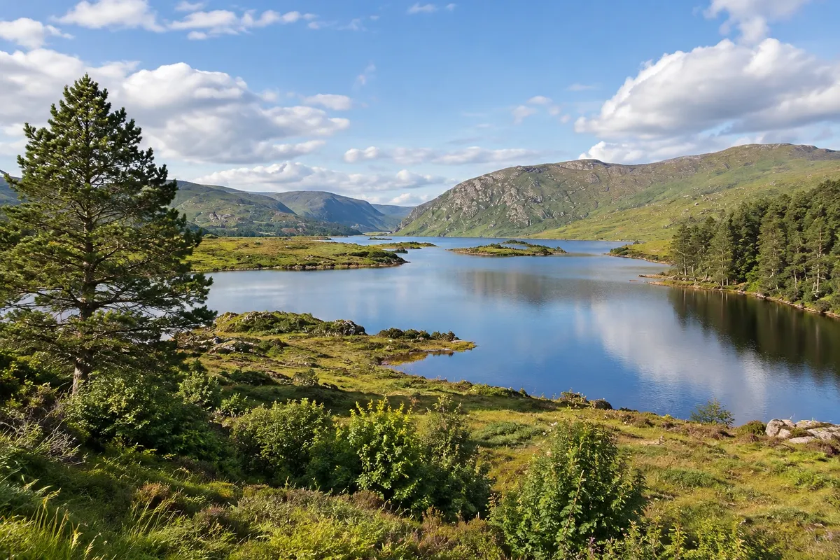
The northernmost county of Ireland: the town of Donegal with the O'Donnell castle, the Slieve League cliffs above the Atlantic and Glenveagh National Park, with the castle on the lakeshore.
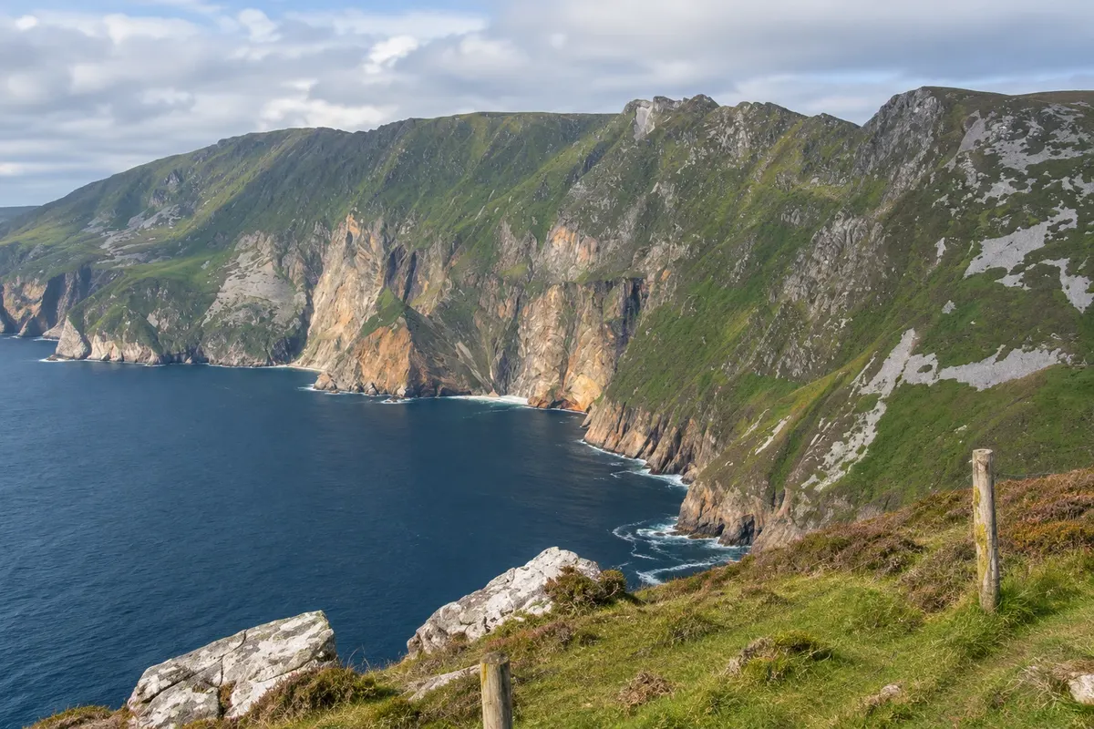
Na fotografiji: Slieve League, Donegal
Illustrative images. The pictures in this guide are illustrations based on the real place, not photographs, and may differ from it.
Spoznajte kraj
Donegal is the county at the far northwest of Ireland, in the historic province of Ulster, but part of the Republic. It is almost entirely bordered by the Atlantic and by the border with Northern Ireland, and is one of the largest and least populated counties in the country. The landscape is made up of granite and quartzite mountains, peat bogs, lakes, high cliffs and long beaches, along the northern stretch of the Wild Atlantic Way. Much of the county is Gaeltacht, where Irish is spoken.
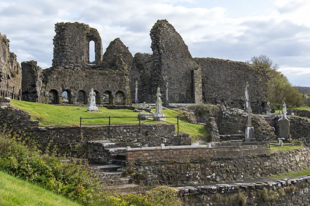
The town of Donegal sits at the head of Donegal Bay, at the mouth of the River Eske. It was the seat of the O'Donnells, chiefs of the clan that dominated the region until the early 17th century, and it preserves their 15th-century castle, with a 17th-century house added by the English, and the ruins of a Franciscan convent on the estuary. The centre revolves around the triangular square called The Diamond.
West of the town, on the Teelin peninsula, lie the Slieve League cliffs, Sliabh Liag in Irish, which drop about 600 metres to the sea and are among the highest in Europe. From the Bunglass viewpoint you can see the cliff face in rust, green and grey colours above the Atlantic. In the northern interior of the county, Glenveagh National Park occupies a mountain valley with a long lake, woodlands and a 19th‑century castle with gardens.
Belfast and the Calçada dos Gigantes are on the other side of the border, in Northern Ireland, about two hours by car. The weather changes quickly and the wind is strong in any season.

V vodniku še ni nastanitev – Donegal.
kako do tja · koliko dni · načrt poti · vprašanja
✈ Aeroporto de Donegal (Donegal Airport) (CFN), kraj: Carrickfinn· 75 km do cilja (Donegal)
✈ Aeroporto de Ireland West (Ireland West Airport Knock) (NOC), kraj: Knock· 150 km do cilja (Donegal)
Check before you buy. Donegal Airport (CFN), in Carrickfinn, receives flights from Dublin; Ireland West (in Knock) and Dublin airports are farther away. There is no train in the county: buses link Donegal to Sligo, Galway and Dublin. Attractions are spread out and require a car or a tour.
Doživite kraj
15th-century tower of the O'Donnells, chiefs of Tír Chonaill, on the banks of the River Eske; enlarged in the 17th century with a Jacobean house by the Englishman Basil Brooke, restored and furnished.
Ruins of the Franciscan friary founded in 1474 by the O'Donnells on the edge of the Eske estuary, associated with the friars who wrote the Annals of the Four Masters in the 17th century.
Cliffs on the Teelin peninsula that drop about 600 metres to the Atlantic, among the highest in Europe, seen from the Bunglass lookout, with high-level trails and a visitor centre.
National park of about 16,000 hectares in the Derryveagh Mountains, with Lough Veagh, woodlands, bogs, reintroduced golden eagles and an 1873 castle with lakeside gardens.
Pred odhodom
Donegal – Donegal
Razdalje so približne. Pred potovanjem preverite lete in vozne rede avtobusov, vlakov ali ladij.
Check before you buy. Donegal Airport (CFN), in Carrickfinn, is about 75 km away; Ireland West, in Knock, about 150 km. There is no train: buses connect the town to Dublin, Sligo and Galway, with a stop at the Diamond.
Half a day for the castle, the convent and the town centre, and a day for Slieve League. With two days, do Glenveagh on the second day, about 45 km away.
From May to September the days are long and the castle opens full hours. July and August are the busiest. In winter opening hours are reduced and it gets dark around 4:30 p.m.
The seasons shown are the most usual ones; nature doesn't always follow the calendar.
For the town, no. For Slieve League and Glenveagh, yes, or by tour: public transport is scarce. The coastal roads are narrow, and in Ireland you drive on the left.
Predlog poti
Pot povezuje znamenitosti na tej strani. Za oglede boste imeli dovolj časa.
Visit Donegal Castle, with the O'Donnell tower and the 17th‑century house, and walk around the Diamond.
Follow the coast via Killybegs and Kilcar to Teelin and drive or walk up to the Bunglass viewpoint.
Stay at the viewpoint for the late‑afternoon light on the cliffs and return via the coastal road.
Dine in the town centre and stop by the convent on the estuary, near the quay.
Dan 1
Donegal Castle and the ruins of the Franciscan convent along the riverbank.
Coastal road to Teelin and the Bunglass viewpoint.
On the way back, stop in the villages of Carrick and Kilcar, known for tweed weaving.
Dinner and music in the town centre.
Dan 2
Head to Glenveagh National Park, about 45 km away, and take the park bus to the castle.
Guided visit to the castle and a walk through the gardens, returning on foot along the lakeshore.
Return to Donegal via the Barnesmore Gap road, between the mountains.
Dine in the centre of Donegal.
Check before you go. Opening hours and days change, and places may close for renovations, holidays or events. This itinerary is a suggestion from Cidade Turismo, not a commitment: plan yours by checking directly with each place you intend to visit.
Pred odhodom
The triangular square in the centre of Donegal, with an obelisk commemorating the Four Masters, the friars who wrote the Annals of the Four Masters in the 17th century.
No. The county seat is in Lifford, near the border, about 60 km away.
Donegal tweed, a traditional wool fabric from the region, sold in shops in the town and in the villages of Kilcar and Ardara.
Yes. The cliffs are about 50 km away, roughly an hour's drive along the coast via Killybegs.
Pred odhodom
Z nekaj načrtovanja boste imeli več časa za uživanje na poti.
From May to September the days are long, with daylight until after 10 p.m. in June, and Glenveagh Castle and the visitor centres operate full hours. July and August are the busiest. April and October are usually quieter. In winter the days are short and wind and rain are strong. Rain can fall at any time of year.
The seasons shown are the most usual ones; nature doesn't always follow the calendar.
Two days allow one for the town of Donegal and Slieve League and another for Glenveagh. With three or four days, explore the coast of Glencolmcille, the northern beaches and the Inishowen peninsula.
The town of Donegal, around the Diamond, has hotels, guesthouses and pubs and is the base for Slieve League. Carrick and Kilcar, near the cliffs, have guest houses. For Glenveagh, Letterkenny, the county's largest town, 25 km from the park, and the villages of Dunfanaghy and Gweedore in the north are the most common bases.
Odnesite svoje odpadke, upoštevajte oznake in podprite lokalne ponudnike. V naravi upoštevajte navodila za obiskovalce.
Odgovori na vaša vprašanja
No. Donegal is a county of the Republic of Ireland, although it lies in the historic province of Ulster and borders Northern Ireland.
Yes — it’s the most practical option. Slieve League and Glenveagh are far from the town of Donegal and public transport is sparse. In Ireland you drive on the left, and the coastal roads are narrow.
Two days for the town, Slieve League and Glenveagh; three or four to include the coast and the northern part of the county.
The Calçada dos Gigantes is on the other side of the border, in Northern Ireland, about a two-hour drive from north Donegal.
Več kot vodnik