Gaspésie and Percé

Quebec · Kanada

Gaspésie and Percé

The peninsula at the far eastern tip of Quebec: Percé Rock, Bonaventure Island with its northern gannets, and Forillon National Park, where the Appalachian chain ends.

Quebec

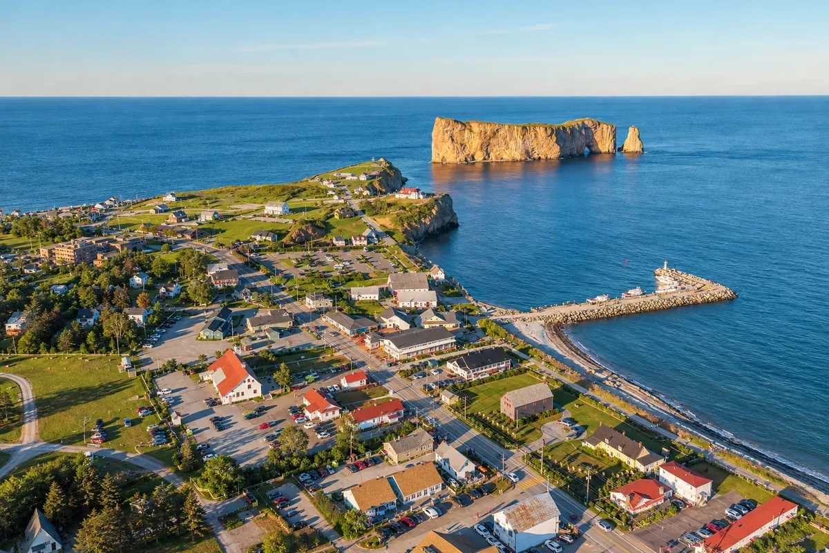
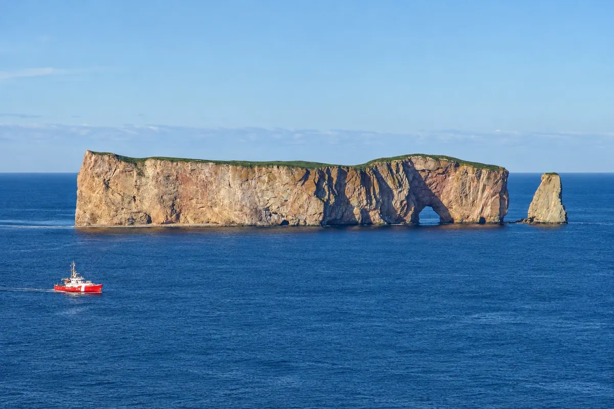
Na fotografiji: Percé, its harbor and Percé Rock, in Gaspésie

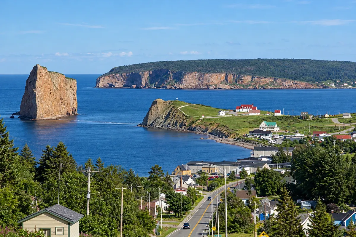
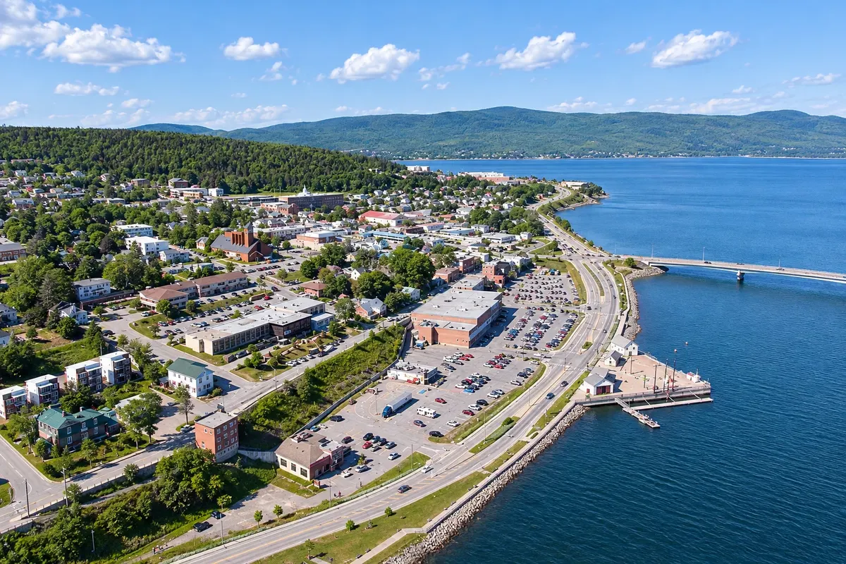
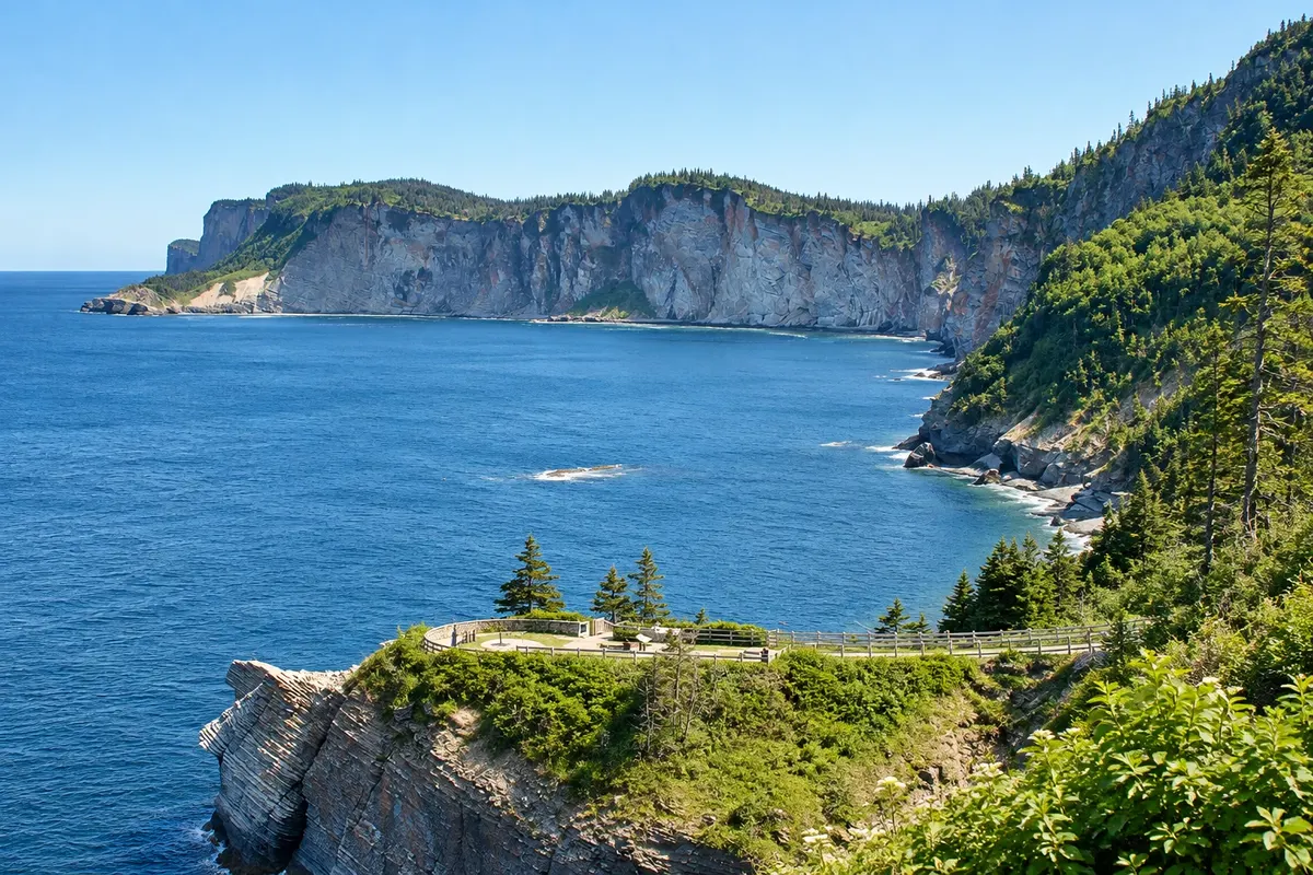
Illustrative images. The pictures in this guide are illustrations based on the real place, not photographs, and may differ from it.

Na voljo v trgovini Google Play Pošljite svoje fotografije

Spoznajte kraj

Pokrajina, ki jo doživite
v svojem ritmu.

Gaspésie is the large peninsula in eastern Quebec between the Saint Lawrence estuary and Chaleur Bay. A single road, Route 132, circles the peninsula, with more than 800 km of coastline, cliffs, fishing villages and the Chic-Chocs mountains inland, the final section of the Appalachian range.

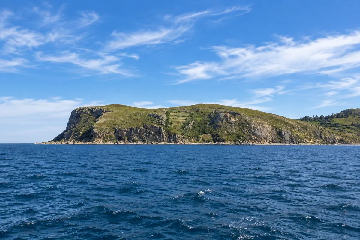
At the tip of the peninsula is Percé, known for Percé Rock, a limestone stack about 88 meters high with an arch carved by the sea, a few meters off the shore. Offshore, Bonaventure Island hosts one of the largest colonies of northern gannets in the world, with over 100,000 birds that nest on the cliff tops in summer.

The town of Gaspé, to the north, sits in a deep bay where Jacques Cartier landed in 1534 and erected a cross in the name of the King of France. Nearby, Forillon National Park occupies the peninsula’s tip, with cliffs, pebble beaches, trails, seals and whales in season.

The region has a strong fishing tradition and a mix of francophone, anglophone and Mi'gmaq communities.

This destination brings together 2 cities: Percé, Gaspé.

Delite: WhatsApp
Delite svoja popotniška doživetja s fotografijami Pošljite fotografije vsakega kraja, ki ste ga obiskali. Največje število fotografij na kraj: 5.

Ena destinacija, več poti

Mesta na tej poti

Začnite v enem mestu ali v načrt poti vključite več mest.

Gaspésie and Percé – lega
GaspéPercé

Meje: Statistics Canada (Statistics Canada Open Licence) / geoBoundaries. Priredba: Cidade Turismo.

Kako do tja:Gaspésie and Percé

✈ Aéroport Michel-Pouliot de Gaspé (YGP), kraj: Gaspé· 65 km do cilja (Percé)

Gaspé Airport (YGP) handles regional flights, mainly from Montreal and Quebec City, and is about 65 km from Percé. By car, Percé is roughly 750 km from Quebec City via Route 132.

Predlagana točka prihoda:Percé

Doživite kraj

Kaj početi – Gaspésie and Percé

Forillon National Park
Gaspé · Quebec · National park

Forillon National Park

A Canadian national park at the tip of Gaspésie, with limestone cliffs, the Cap-Gaspé lighthouse, pebble beaches, the historic village of Grande-Grave and the end of the Appalachian chain.

Perce Rock
Percé · Quebec · Rock formation

Perce Rock

Limestone rock about 88 meters high and more than 400 meters long in front of Percé, with an arch opened by the sea.

Bonaventure Island
Percé · Quebec · Otok

Bonaventure Island

Island in front of Percé with one of the largest colonies of black-legged kittiwakes in the world — more than 100,000 birds — reached by trails from the boat pier.

Musée de la Gaspésie
Gaspé · Quebec · Muzej

Musée de la Gaspésie

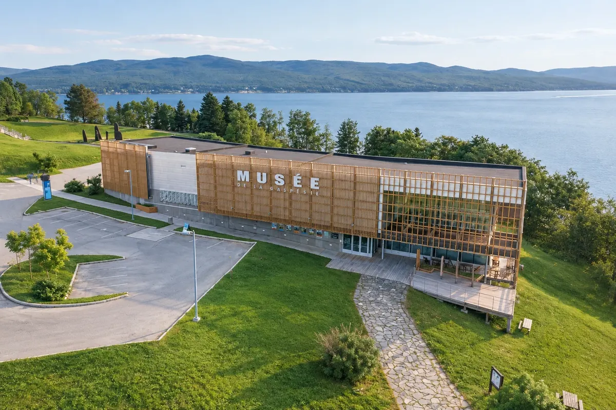
A regional museum on Gaspé Bay about the peninsula’s history, with the Jacques Cartier monument, made of bronze stelae, beside it.

Gaspésie and Percé – prikaži še 1 kraj
Percé Geopark
Percé · Quebec · Razgledišče

Percé Geopark

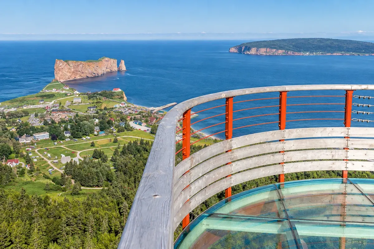
UNESCO global geopark with an interpretation center and a suspended glass platform on mont Sainte-Anne, about 200 meters above the village and the sea.

Pred odhodom

Praktične informacije

Z nekaj načrtovanja boste imeli več časa za uživanje na poti.

Kdaj se odpraviti

From June to September, when Bonaventure Island, the boat tours and the parks are operating; the northern gannets usually stay on the island from June to October. Early autumn brings mountain colors and fewer people. In winter many coastal services close.

The seasons shown are the most usual ones; nature doesn't always follow the calendar.

Koliko dni ostati

Four days: two in Percé, including Bonaventure Island, and two in Gaspé and Forillon National Park. If you’re driving from Quebec City you should add at least two days on the road.

V katerem mestu prenočiti

Percé has accommodations in the town center, facing the rock, and around the village. Gaspé concentrates services and is about 30 km from Forillon National Park; there are campsites and cabins in and near the park.

Spoštujte kraj

Odnesite svoje odpadke, upoštevajte oznake in podprite lokalne ponudnike. V naravi upoštevajte navodila za obiskovalce.

Odgovori na vaša vprašanja

Pogosta vprašanja – Gaspésie and Percé

How many days should you stay in Gaspésie?

Four days for Percé, Bonaventure Island, Gaspé and Forillon National Park, not counting the drive from Quebec City or Montreal.

Do you need a car in Gaspésie?

Yes. Villages, parks and viewpoints are far apart, and public transport is limited.

When can you see the northern gannets on Bonaventure Island?

The birds usually stay on the island from June to October, during the breeding season. The park typically opens from late May to mid-October.

Is it possible to drive around the Gaspésie?

Yes, via Route 132, with more than 800 km of coastline. The most common itinerary takes five to seven days with stops.

What time zone is Gaspésie in?

The same as Montreal and Quebec City: UTC−5, and UTC−4 from March to November.

Odkrijte druge destinacije Iskanje po zvezni državi in mestu

Več kot vodnik