

Rock formation
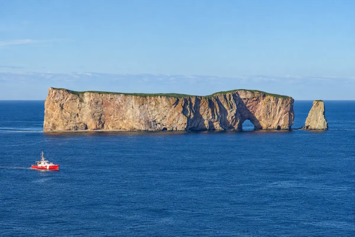
Perce Rock
Limestone rock about 88 meters high and more than 400 meters long in front of Percé, with an arch opened by the sea.

 Išči
 Brazilija
 Antarktika
 Argentina
 Bolivija
 Čile
 Kolumbija
 Ekvator
 Gvajana
 Francoska Gvajana
 Falklandski otoki (Malvini)
 Paragvaj
 Peru
 Surinam
 Urugvaj
 Venezuela
 Nemčija
 Avstrija
 Belgija
 Hrvaška
 Danska
 Slovaška
 Slovenija
 Španija
 Finska
 Francija
 Grčija
 Nizozemska
 Madžarska
 Irska
 Islandija
 Italija
 Luksemburg
 Norveška
 Poljska
 Portugalska
 Združeno kraljestvo
 Češka
 Švedska
 Švica
 Turčija
 BermudiKanada
 Združene države Amerike
 Grenlandija
 Mehika
 Sveta Peter in Mihael
 Dominikanska republika
 JaponskaTurčija
 Južnoafriška republika
 Egipt
 Avstralija
 Fidži
 Nova Zelandija
 Papua Nova Gvineja
Quebec · Kanada
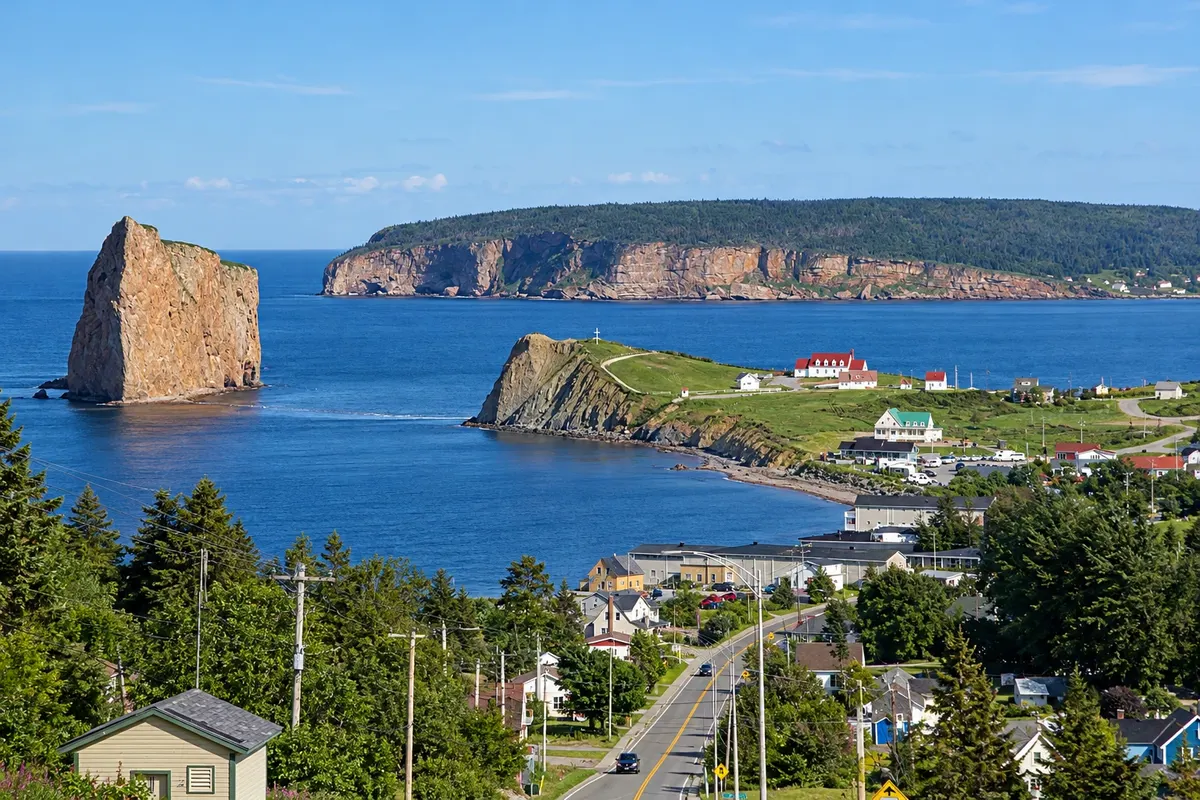
Destinacija: Gaspésie and Percé.
Na fotografiji: Percé with the rock seen in profile and Bonaventure Island in the background
Illustrative images. The pictures in this guide are illustrations based on the real place, not photographs, and may differ from it.
Mesto
Fishermen’s village on the tip of the Gaspésie, facing the Rocher Percé and Bonaventure Island, which together form a Quebec national park. Boats leave from the pier to circle the rock and disembark on the island. On the summit of mont Sainte-Anne, the geopark has a glass platform overlooking the village and the sea.
V vodniku še ni nastanitev – Percé.
kako do tja · koliko dni · načrt poti · vprašanja
Doživite kraj
Limestone rock about 88 meters high and more than 400 meters long in front of Percé, with an arch opened by the sea.
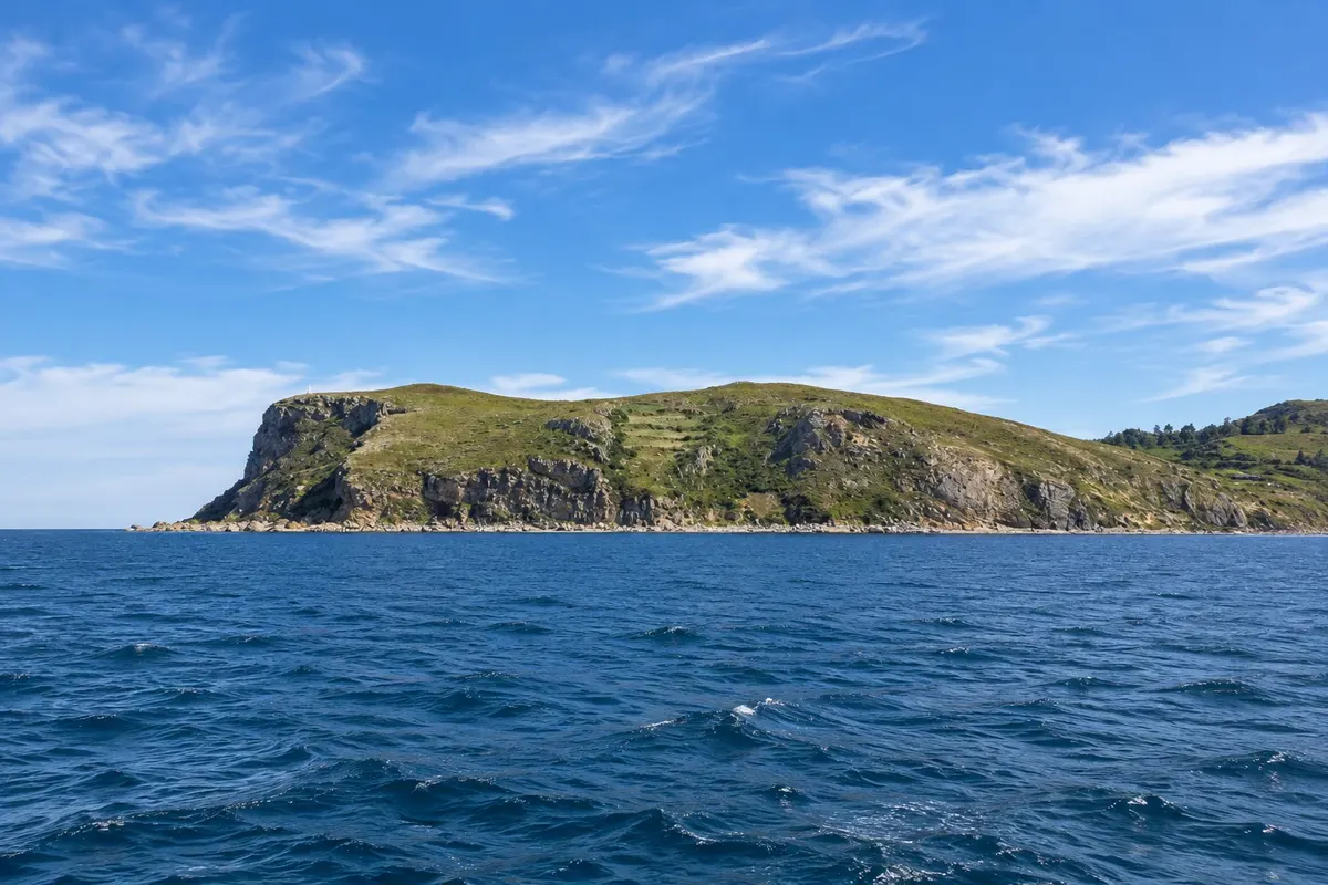
Island in front of Percé with one of the largest colonies of black-legged kittiwakes in the world — more than 100,000 birds — reached by trails from the boat pier.
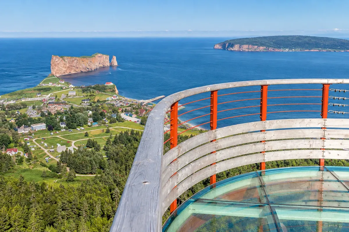
UNESCO global geopark with an interpretation center and a suspended glass platform on mont Sainte-Anne, about 200 meters above the village and the sea.
Pred odhodom
Percé – Quebec Destinacija Gaspésie and Percé približno 750 km stran (izhodišče: Quebec)
Razdalje so približne. Pred potovanjem preverite lete in vozne rede avtobusov, vlakov ali ladij.
About 65 km from Gaspé Airport via Route 132. By car, roughly 750 km from Quebec City, driving around the peninsula.
Two days: one for Bonaventure Island and the rock, another for the geopark and the village.
From June to September, when boats, the park and the geopark operate. The black-legged kittiwakes (gansos-patolas) often stay until October.
The seasons shown are the most usual ones; nature doesn't always follow the calendar.
The village is explored on foot, and boats depart from the pier. To arrive and to reach Gaspé, use a car.
Predlog poti
Pot povezuje znamenitosti na tej strani. Za oglede boste imeli dovolj časa.
Take the boat from the pier, circle the Rocher Percé and disembark on Bonaventure Island for the trail to the kittiwake colony.
Return to the village and walk along the waterfront to the viewpoint facing the rock.
Dan 1
Spend the morning on Bonaventure Island and the afternoon on the village waterfront, with the rock ahead.
Dan 2
Climb mont Sainte-Anne for the geopark’s glass platform and the high-altitude trails.
Descend to the tip of Cap Mont-Joli and finish at the village’s pebble beach.
Check before you go. Opening hours and days change, and places may close for renovations, holidays or events. This itinerary is a suggestion from Cidade Turismo, not a commitment: plan yours by checking directly with each place you intend to visit.
Pred odhodom
By boat, departing from Percé’s pier. The crossing usually circles the Rocher Percé before landing on the island.
At low tide the sand extends close to the rock, but the park advises against walking along the rock faces because stones fall year-round.
Two days, including Bonaventure Island, the rock and the geopark.
About 75 km, roughly a 1-hour drive via Route 132.
Več kot vodnik


