

 Antarktika
 Argentina
 Bolivija
 Čile
 Kolumbija
 Ekvator
 Gvajana
 Francoska Gvajana
 Falklandski otoki (Malvini)
 Paragvaj
 Peru
 Surinam
 Urugvaj
 Venezuela
 Nemčija
 Avstrija
 Belgija
 Hrvaška
 Danska
 Slovaška
 Slovenija
 Španija
 Finska
 Francija
 Grčija
 Nizozemska
 Madžarska
 Irska
 Islandija
 Italija
 Luksemburg
 Norveška
 Poljska
 Portugalska
 Združeno kraljestvo
 Češka
 Švedska
 Švica
 Turčija
 Bermudi
 Kanada
 Združene države Amerike
 Grenlandija
 Mehika
 Sveta Peter in Mihael
 Dominikanska republika
 Japonska
 Južnoafriška republika
 Egipt
 Avstralija
 Fidži
 Nova Zelandija
 Papua Nova Gvineja
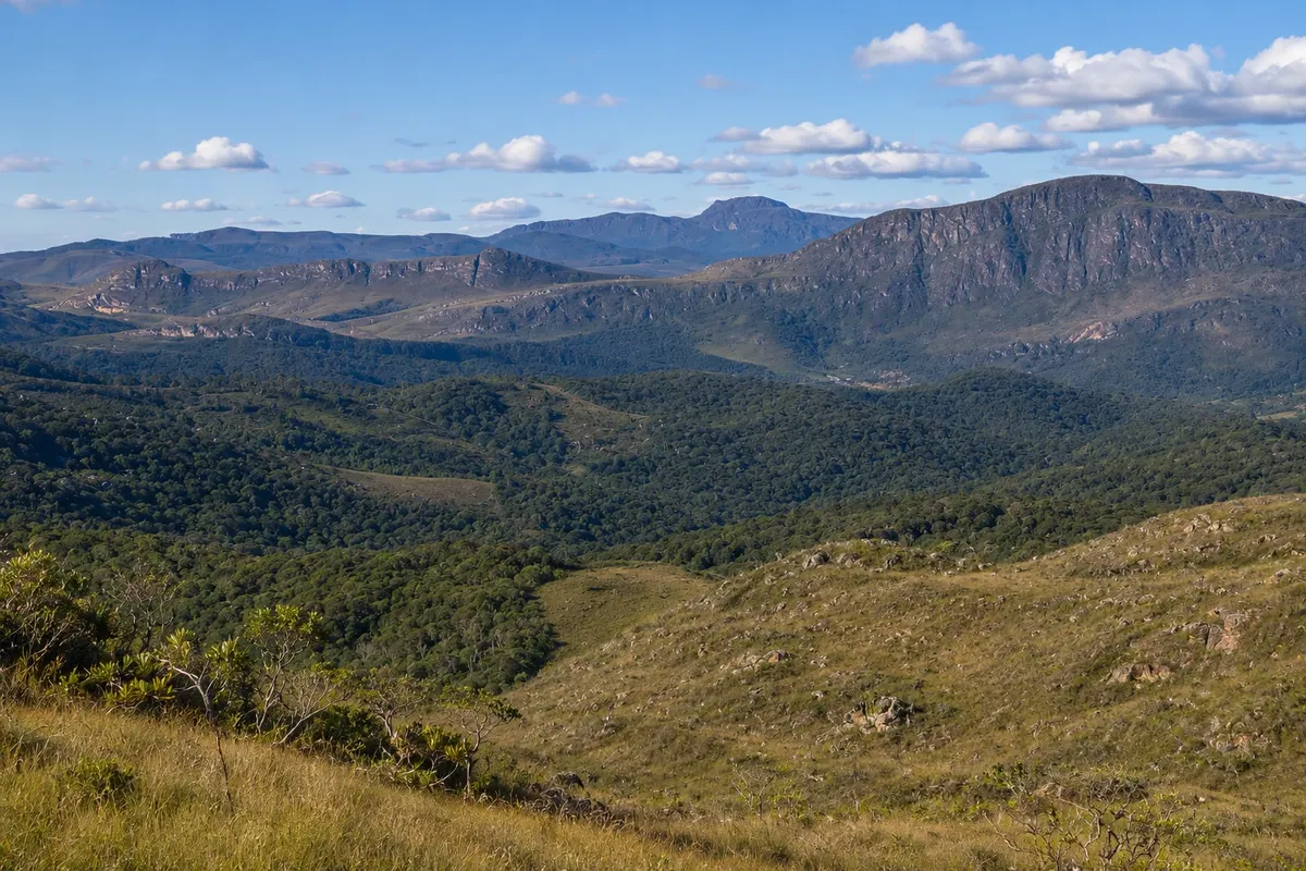
state park · Ouro Branco, MG
Serra do Ouro Branco State Park
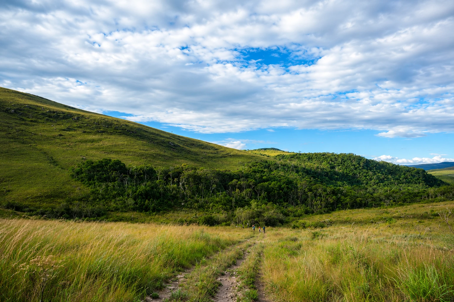
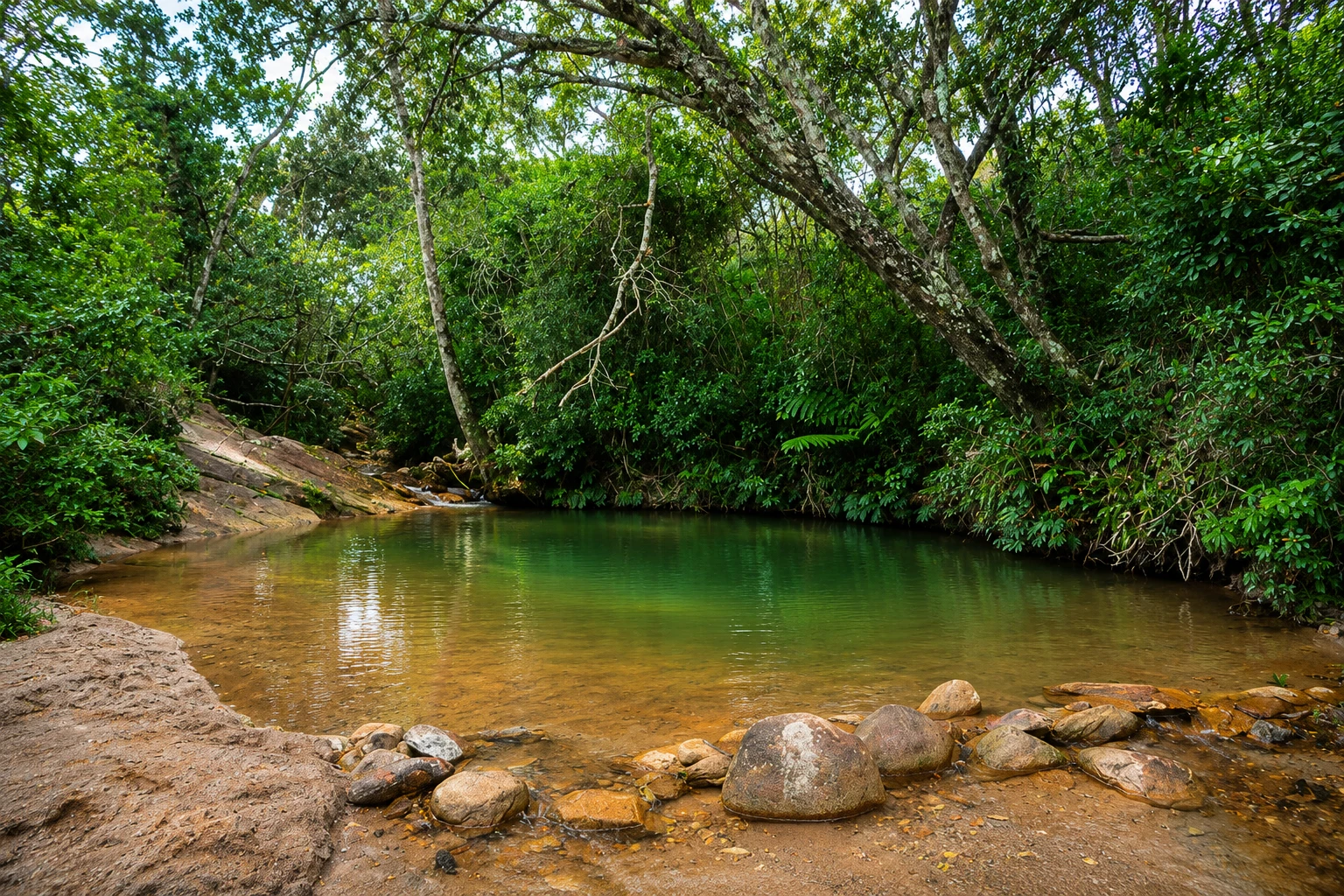
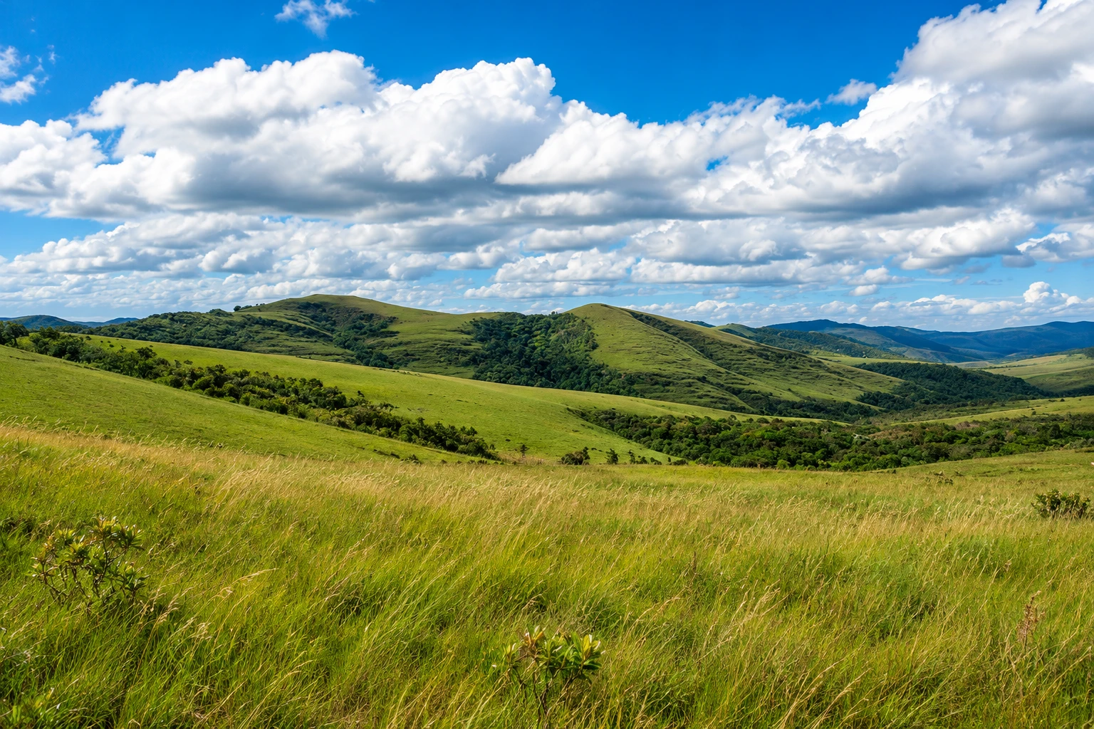
State park created in 2009 in the mountain range that dominates the landscape of Ouro Branco, between Ouro Branco and Ouro Preto. It protects rocky grasslands and stretches of forest, with trails, natural pools and views over the town and the valley.
Na fotografiji: Rocky crests and forested valleys in the Serra do Ouro Branco State Park.
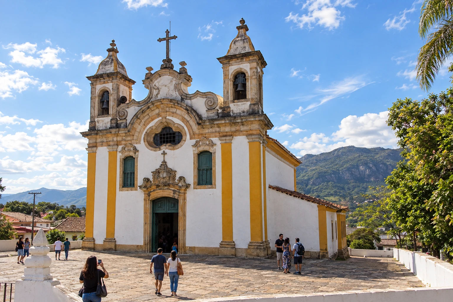
Illustrative images. The pictures in this guide are illustrations based on the real place, not photographs, and may differ from it.


Pogled na kraj
Serra do Ouro Branco State Park v slikah
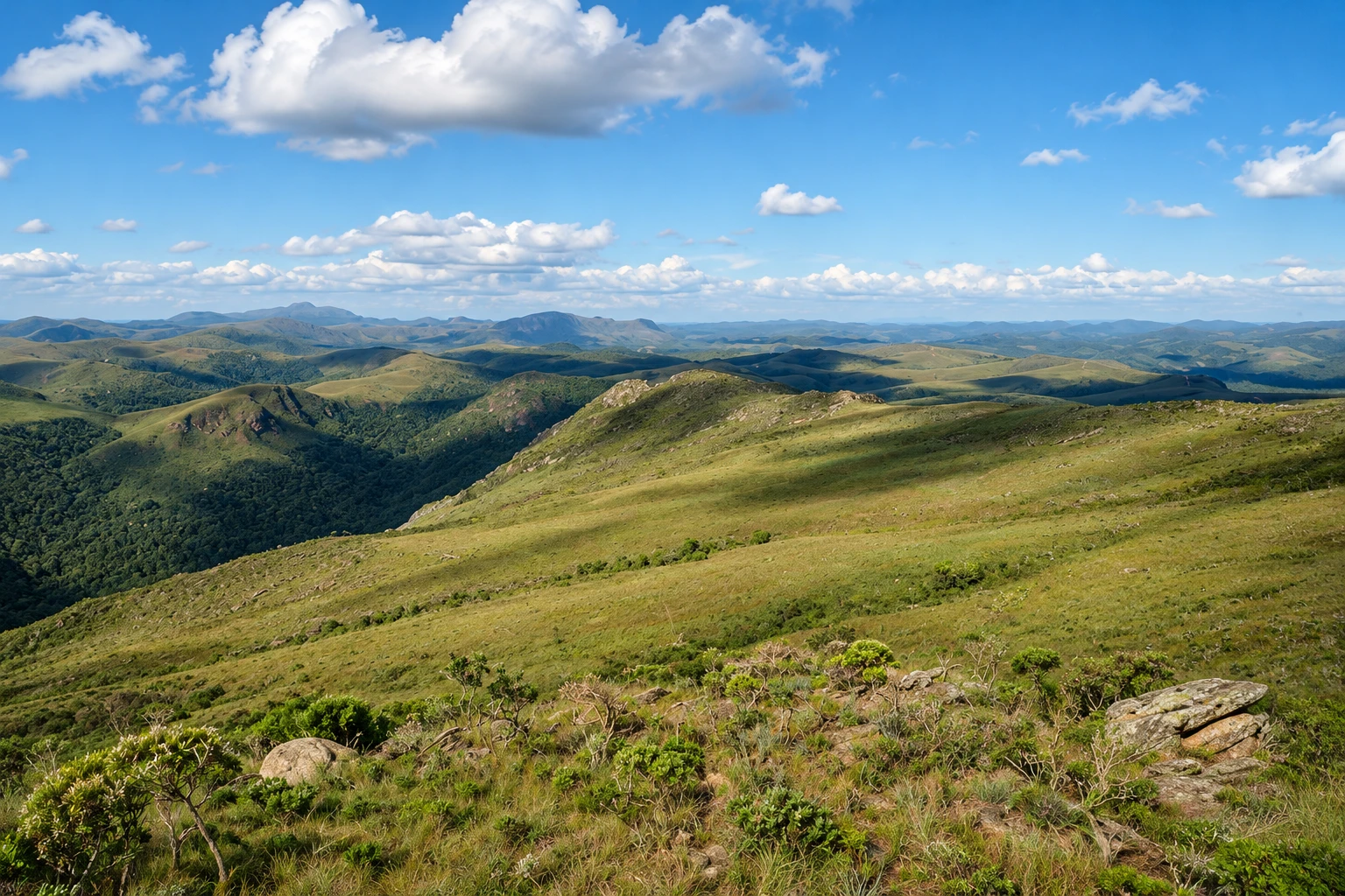
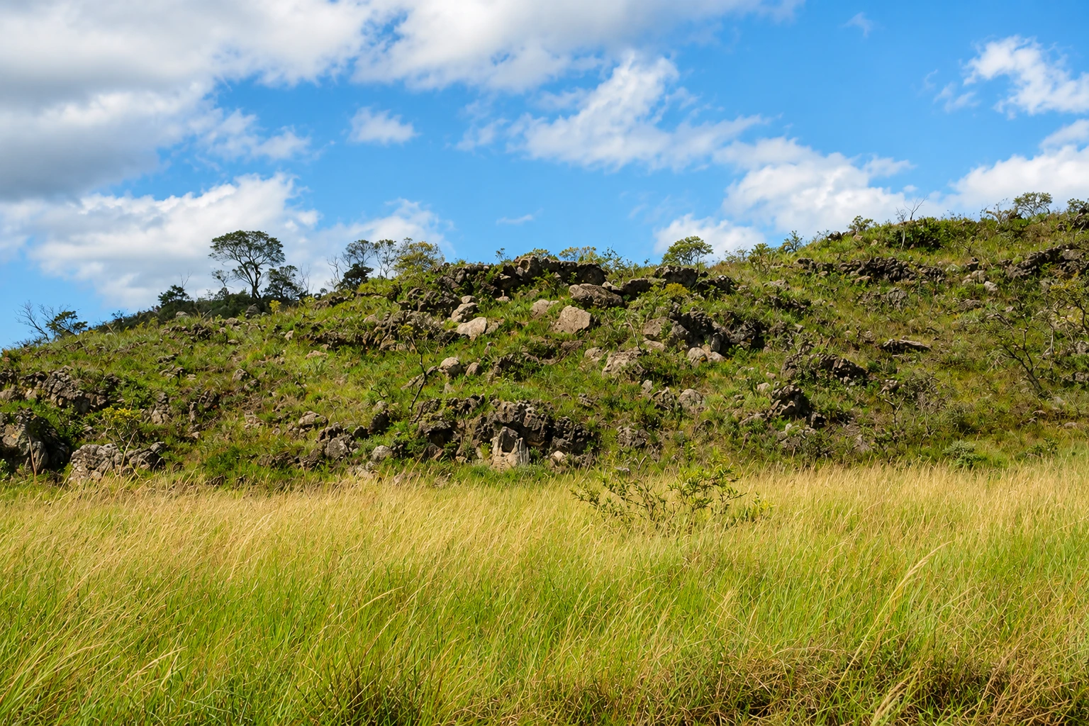
These pictures are illustrations based on the real place, not photographs. They may differ from the place.
Kliknite fotografijo za povečavo.
Spoznajte
O znamenitosti Serra do Ouro Branco State Park
The Serra do Ouro Branco State Park protects the ridge that closes the northern horizon of Ouro Branco. It was created in 2009 by the State Forest Institute (IEF) and covers about 7,500 hectares in the municipalities of Ouro Branco and Ouro Preto, at the southern end of the Quadrilátero Ferrífero.
The ridge is a long crest of quartzite and iron ore, covered by campos rupestres (rocky grasslands) with grasses, shrubs and flowers adapted to the shallow soil, and patches of forest in the ravines and creek valleys. The park was created to protect this landscape and the ridge from iron mining, which is common in the Quadrilátero Ferrífero.
Trails climb the slope from the urban area and the outskirts of the town. The Bird Circuit passes by the Poção do Córrego do Veríssimo, a natural pool set among the vegetation. From the highest points you can see Ouro Branco, the valley and, on clear days, the Congonhas region.
The ridge is also popular with cyclists and birdwatchers. Much of the routes have little shade, and the ascent is steep in some sections. Before you go, check with the IEF or the town about which trails are open to visitors and the park rules.
Ouro Branco has a small historic center around the Igreja Matriz de Santo Antônio and lies about 30 km from Ouro Preto on paved roads. Many people combine a visit to the ridge with tours of the neighboring historic towns.
Pred odhodom
Praktične informacije
Cidade Turismo reviews its information regularly, but something may have changed. Check with the place before planning your trip.
Koliko časa si vzemite
From 2 hours to half a day, depending on the chosen trail. Hikes to the highest points can take the whole day.
Najboljši čas
From April to September, when it usually rains less and the trails are firmer; between August and October the grass dries and there is more risk of fires. Start early to avoid the strong midday sun. From November to March the rains keep the vegetation green but bring afternoon storms.
Kako do tja
The park is north of Ouro Branco’s center, a few kilometers from town. Trails start at access points on the ridge reached by car from the center. Ouro Branco is about 30 km from Ouro Preto and near Conselheiro Lafaiete, on paved roads.
Nasvet
Bring water, a hat and sunscreen: most of the route is open. Confirm with the IEF beforehand which trails are open. Binoculars help if you want to watch birds in the high-altitude campos.
Odgovori na vaša vprašanja
Pogosta vprašanja – Serra do Ouro Branco State Park
Where is the Serra do Ouro Branco State Park located?
On the ridge north of the town of Ouro Branco (MG), in the municipalities of Ouro Branco and Ouro Preto. The town is about 30 km from Ouro Preto.
What can you do at the Serra do Ouro Branco State Park?
Hike the trails through the campos rupestres, visit the Poção do Córrego do Veríssimo via the Bird Circuit, watch birds and enjoy the view of Ouro Branco and the valley from the highest points.
Who manages the Serra do Ouro Branco State Park?
The State Forest Institute of Minas Gerais (IEF), which created the park in 2009. Before you go, check with the IEF which trails are open and the visitor rules.
What is the best time to visit the Serra do Ouro Branco?
From April to September, when there is less rain and the trails are firmer. Start early, because there is little shade along the routes.
Več kot vodnik


