

 Antarktika
 Argentina
 Bolivija
 Čile
 Kolumbija
 Ekvator
 Gvajana
 Francoska Gvajana
 Falklandski otoki (Malvini)
 Paragvaj
 Peru
 Surinam
 Urugvaj
 Venezuela
 Nemčija
 Avstrija
 Belgija
 Hrvaška
 Danska
 Slovaška
 Slovenija
 Španija
 Finska
 Francija
 Grčija
 Nizozemska
 Madžarska
 Irska
 Islandija
 Italija
 Luksemburg
 Norveška
 Poljska
 Portugalska
 Združeno kraljestvo
 Češka
 Švedska
 Švica
 Turčija
 Bermudi
 Kanada
 Združene države Amerike
 Grenlandija
 Mehika
 Sveta Peter in Mihael
 Dominikanska republika
 Japonska
 Južnoafriška republika
 Egipt
 Avstralija
 Fidži
 Nova Zelandija
 Papua Nova Gvineja
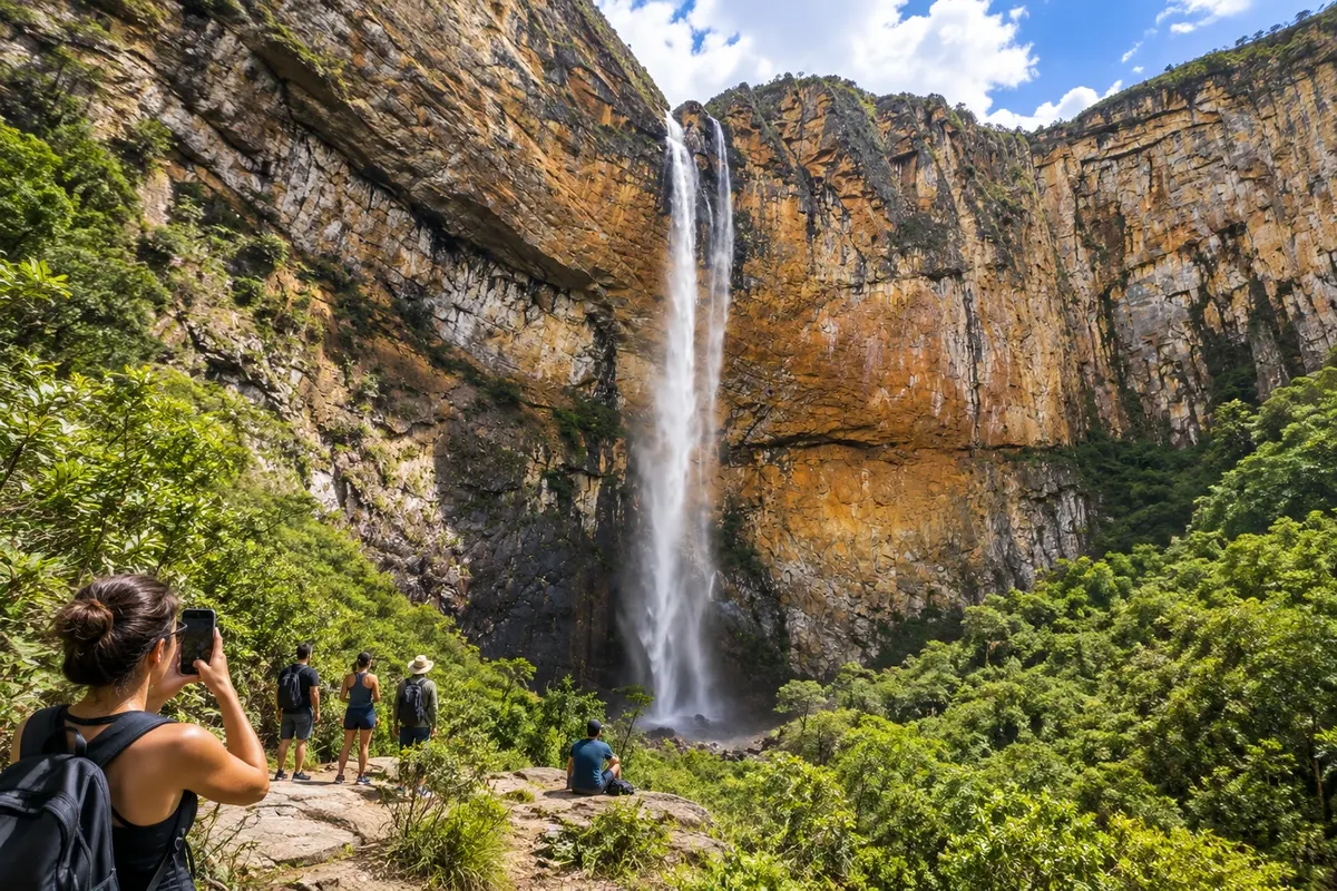
Waterfall and park · Conceição do Mato Dentro, MG
Cachoeira do Tabuleiro
A 273-meter drop in the Parque Natural Municipal do Tabuleiro, in the district of the same name. The rocky cliff, the pool and the rupestrian fields make up a visit that requires choosing the route and checking the park's conditions.
Illustrative images. The pictures in this guide are illustrations based on the real place, not photographs, and may differ from it.


Pogled na kraj
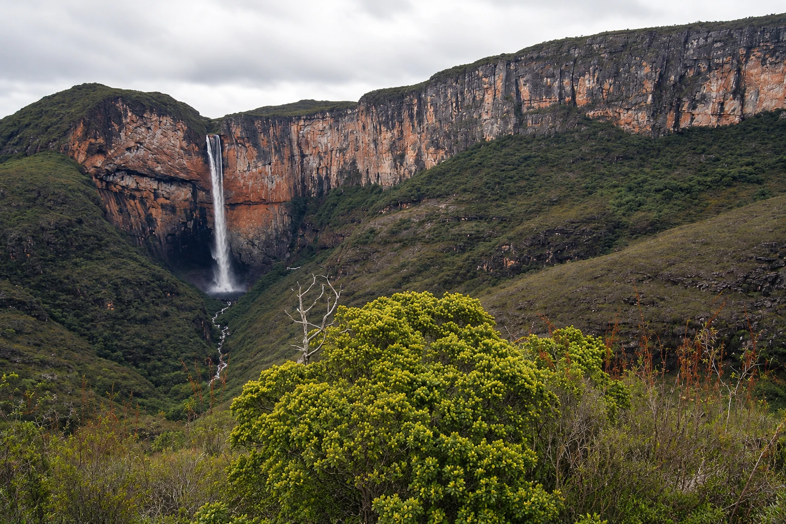
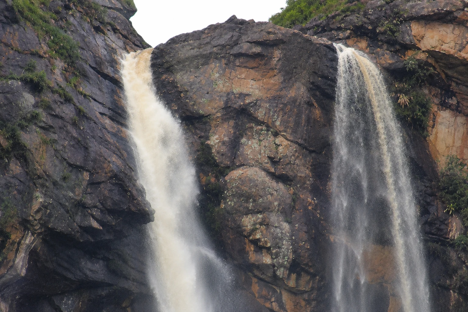
Cachoeira do Tabuleiro v slikah
These pictures are illustrations based on the real place, not photographs. They may differ from the place.
Kliknite fotografijo za povečavo.
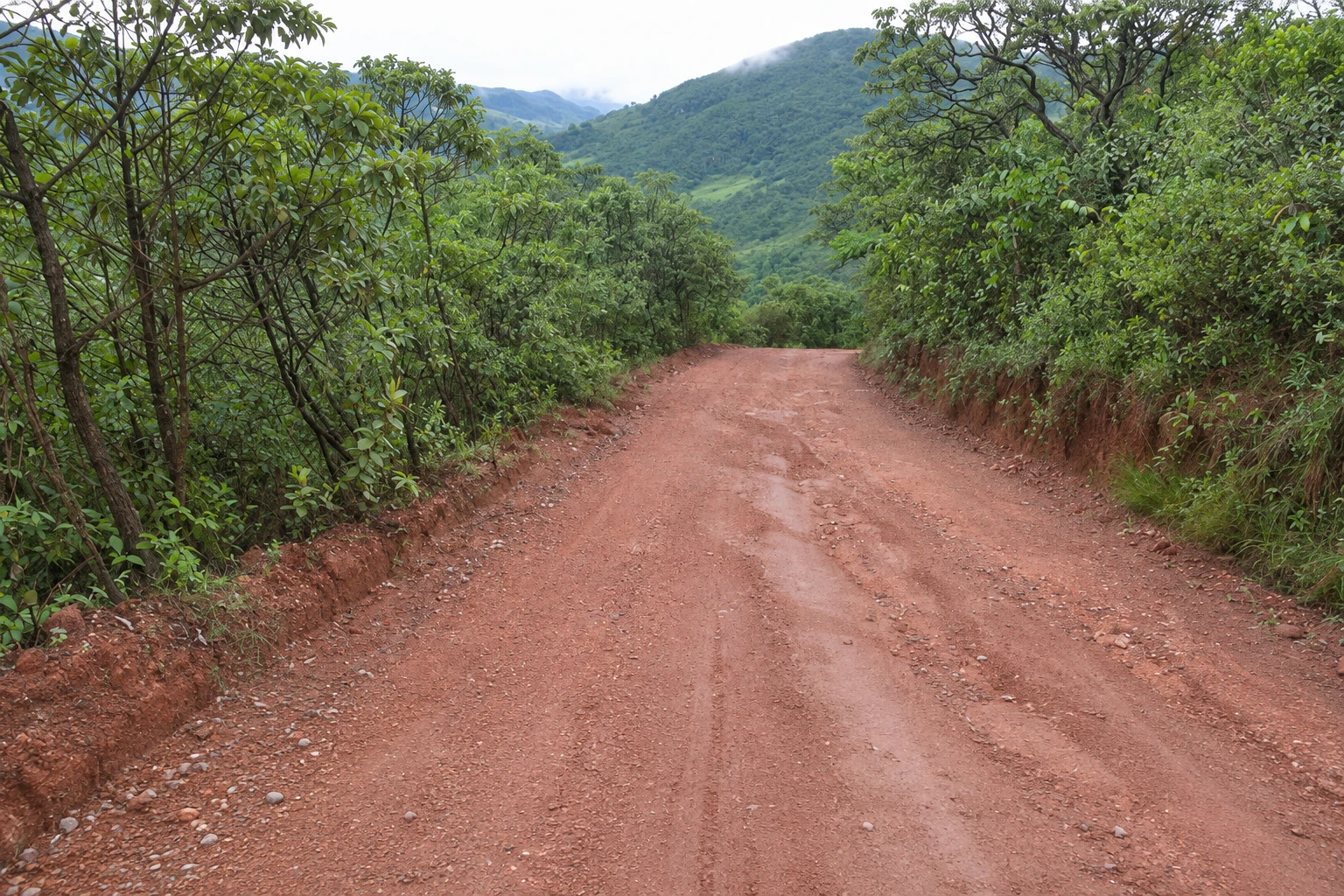
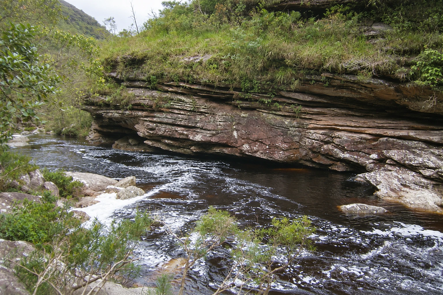
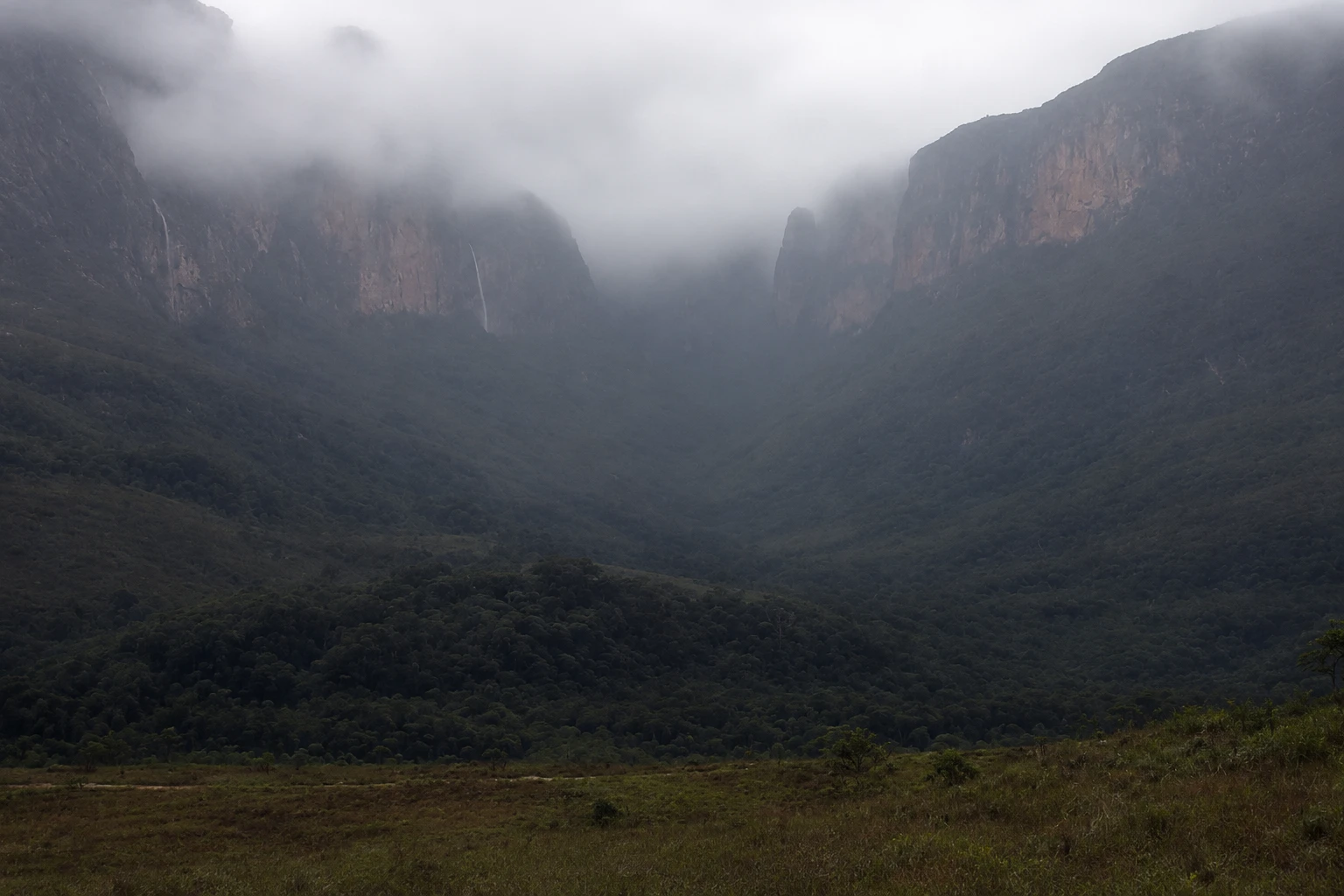
Spoznajte
O znamenitosti Cachoeira do Tabuleiro
The Cachoeira do Tabuleiro descends along a rock face in the Serra do Espinhaço, in the district of Tabuleiro, in Conceição do Mato Dentro. With 273 meters of free fall, it is the tallest waterfall in Minas Gerais. The landscape includes rupestrian fields, stretches of forest and large boulders around the pool. The visit is organized by the Parque Natural Municipal do Tabuleiro, which offers accesses with different requirements: viewing the fall from a distance is not the same as hiking the trail to the pool or to the upper part. Choose the route according to the group's fitness and arrange for local guidance for the longer hikes. Weather and water conditions determine which routes can be done. On arrival, check at the park entrance about the authorized accesses and the suggested return time. Bring water, sun protection and footwear suitable for uneven terrain.
Pred odhodom
Praktične informacije
Cidade Turismo reviews its information regularly, but something may have changed. Check with the place before planning your trip.
Koliko časa si vzemite
Allow half a day or a full day, depending on the route chosen.
Najboljši čas
Stable weather and good visibility, as assessed by the park. Confirm operations before you go.
Kako do tja
Follow from Conceição do Mato Dentro to the district of Tabuleiro, about 19–20 km from the town center, and continue to the entrance of the Parque Natural Municipal do Tabuleiro.
Nasvet
Choose between viewing, the pool and the upper part before leaving. Check at the park entrance which access is authorized for the day and plan your return with plenty of time.
Uradno spletno mesto
Odgovori na vaša vprašanja
Pogosta vprašanja – Cachoeira do Tabuleiro
How tall is the waterfall?
The free fall is 273 meters.
Are all access routes the same?
No. Viewing, the walk to the pool and the route to the upper part have different requirements. Check with the park entrance before choosing.
Do I need to prepare for the visit?
Yes. Choose the route according to the group's fitness and confirm weather, water and access conditions with the park.
Več kot vodnik


