Coyhaique

Aysén do General Carlos Ibáñez del Campo · Čile Capital

Coyhaique

Destinacija: Carretera Austral.

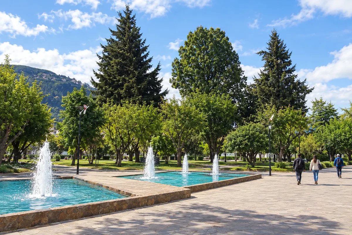
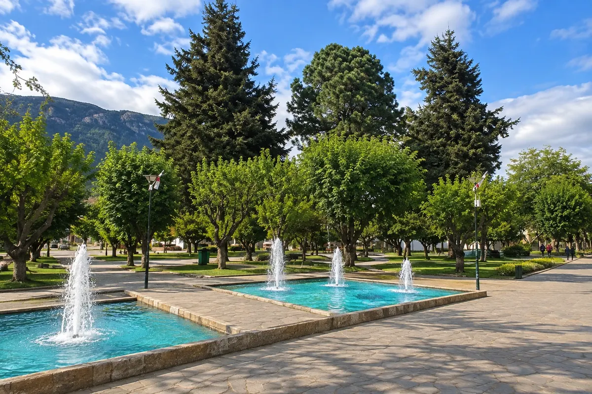
Na fotografiji: Fountains of the Plaza de Armas of Coyhaique

Illustrative images. The pictures in this guide are illustrations based on the real place, not photographs, and may differ from it.

Na voljo v trgovini Google Play Pošljite svoje fotografije

Mesto

Kaj lahko pričakujete – Coyhaique.

Capital of the Aysén Region and the largest city on the Carretera Austral, Coyhaique lies in a valley at about 310 meters above sea level, between the Simpson and Coyhaique rivers. The center revolves around a pentagonal Plaza de Armas. Nearby are the Reserva Nacional Coyhaique, the Reserva Nacional Río Simpson with the Velo de la Novia waterfall, and, farther south, Parque Nacional Cerro Castillo.

Delite: WhatsApp

Kje prenočiti

V vodniku še ni nastanitev – Coyhaique.

Kje jesti

V vodniku še ni restavracij – Coyhaique.

Poznate dobro možnost? Priporočite nam jo

Vaše potovanje

kako do tja · koliko dni · načrt poti · vprašanja

Doživite kraj

Coyhaique: kaj si ogledati

Plaza de Armas of Coyhaique
Historic square

Plaza de Armas of Coyhaique

Central plaza of Coyhaique, designed in the shape of a pentagon when the town was laid out. From it radiate the downtown streets, with shops, restaurants and the life of the capital of Aysén.
Coyhaique National Reserve
Naravni rezervat

Coyhaique National Reserve

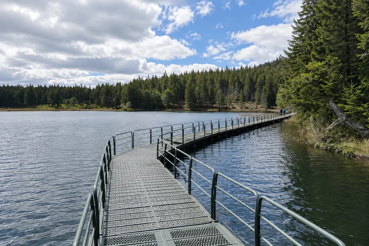
A CONAF reserve located just north of the city, with lenga and coigüe forests, ponds and trails with views over Coyhaique and the surrounding valleys. Created in 1948, it is one of the oldest protected areas in the region.
Río Simpson National Reserve
Naravni rezervat

Río Simpson National Reserve

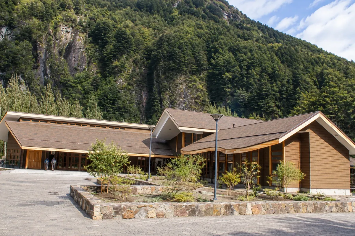
Narrow, green valley of the Río Simpson, on the road between Coyhaique and Puerto Aysén, with waterfalls such as the Velo de la Novia and the Cascada de la Virgen, humid forest and short riverside trails.
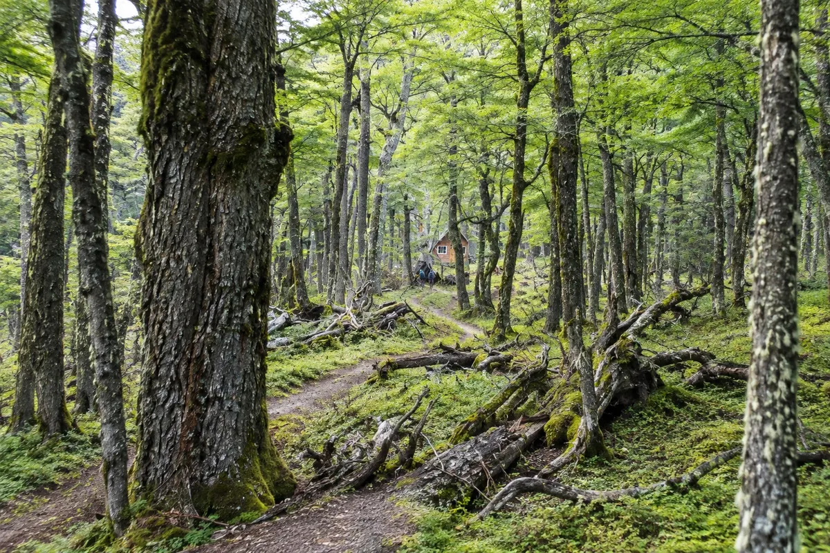
Cerro Castillo National Park
National park

Cerro Castillo National Park

Park south of Coyhaique, cut through by the Carretera Austral, featuring Cerro Castillo at 2,318 meters, with rock towers that resemble a castle, glacial lagoons, mountain trails and a huemul population.


Pred odhodom

Vaše potovanje – Coyhaique

Coyhaique – Aysén del General Carlos Ibáñez del Campo Capital

Kako do tja

  • Aeródromo Balmaceda (BBA) Balmaceda · 55 km
  • Terminal de Buses de Coyhaique 1 km

Razdalje so približne. Pred potovanjem preverite lete in vozne rede avtobusov, vlakov ali ladij.

By plane, via Aeródromo Balmaceda, about 55 km to the southeast, with transfers, taxi or rental car to the city. By bus, there are lines along Ruta 7 coming from the north and south of the region and from Puerto Aysén, which arrive at the terminal downtown. You can also reach by sea at Puerto Chacabuco, about 80 km away, on ferries coming from Puerto Montt.

Koliko dni

Two days cover the town and the two nearby reserves. With three days you can include a full day in Cerro Castillo. Those continuing along the Carretera Austral often spend one or two nights in Coyhaique on arrival to organize the trip.

Kdaj se odpraviti

Summer, from December to March, brings long days and the highest temperatures, around 20°C and sometimes above. Autumn, in April and May, colors the forests. Winter is cold, with snow and temperatures that can drop well below zero; the town functions normally, but high trails are closed. It rains throughout the year.

The seasons shown are the most usual ones; nature doesn't always follow the calendar.

Ali potrebujete avto?

For the town itself, no: the center is walkable and there are taxis and shared taxis. For the reserves and Cerro Castillo, a car helps a lot; without one, use regular buses and agency tours. To travel the Carretera Austral independently, a rental car in Coyhaique or Balmaceda is the most common option.

Predlog poti

Predlagani vrstni red ogledov

Pot povezuje znamenitosti na tej strani. Za oglede boste imeli dovolj časa.

En dan –Coyhaique
  1. Zjutraj
    Reserva Nacional Coyhaique

    Head up early to the Reserva Nacional Coyhaique, north of the town, and hike to Laguna Verde. If the weather allows, follow one of the trails to a viewpoint overlooking the valley.

  2. Popoldne
    Valley of the Río Simpson and waterfalls

    Take the road to Puerto Aysén, stop at the bridge to see Piedra del Indio and continue through Reserva Nacional Río Simpson to Velo de la Novia and Cascada de la Virgen.

  3. Pozno popoldne
    Downtown and Plaza de Armas

    Back in Coyhaique, walk around the Plaza de Armas and the diagonal streets that lead away from it. It's the time to take care of shopping and reservations for the coming days.

  4. Ponoči
    Patagonian dinner

    Dine downtown and look for roasted lamb or river fish on the menu. In summer the day gets dark late, so dinner can be after sunset.

2 dni – Coyhaique

Dan 1

  1. Zjutraj
    Trails north of the city

    Start at Reserva Nacional Coyhaique, with time for a longer hike to viewpoints over the town and the Simpson valley.

  2. Popoldne
    Río Simpson

    Descend through the Río Simpson valley, take the short trail along the river and stop at the waterfalls beside the road.

  3. Ponoči
    Downtown Coyhaique

    Stroll around the Plaza de Armas and dine downtown, getting everything ready to leave early the next day.

Dan 2

  1. Zjutraj
    Road to Cerro Castillo

    Leave early heading south on Ruta 7 to Villa Cerro Castillo, with stops to view the massif and the Río Ibáñez valley.

  2. Popoldne
    Hike and Paredón de las Manos

    Take a hike in Parque Nacional Cerro Castillo or, if you prefer something easy, visit Paredón de las Manos near the settlement.

  3. Ponoči
    Return or overnight

    Return to Coyhaique in daylight or stay overnight in Villa Cerro Castillo if you plan to continue south toward Lago General Carrera.

Check before you go. Opening hours and days change, and places may close for renovations, holidays or events. This itinerary is a suggestion from Cidade Turismo, not a commitment: plan yours by checking directly with each place you intend to visit.

Pred odhodom

Pogosta vprašanja

Why use Coyhaique as a base on the Carretera Austral?

It is the largest city on the route and the most complete in services: a nearby airport, rental companies, markets, banks and tour agencies. For that reason, those arriving by plane often start here. To explore the far south, other bases such as Puerto Río Tranquilo and Cochrane are included in itineraries.

What is the distance between Aeródromo Balmaceda and Coyhaique?

About 55 km on paved road, in less than an hour by car. There are transfers that meet the flights and take you to the center.

Is it very cold in Coyhaique?

In winter, yes: temperatures can fall well below zero and it snows frequently. In summer afternoons are pleasant, but mornings and nights are cool and the wind is constant. Bring layered clothing at any time of year.

What local words will I hear in Coyhaique?

On the road you'll hear 'ripio' a lot, the gravel of unpaved tracks, and 'barcaza', the ferry that crosses fjords and lakes. In the countryside, 'puestero' is the ranch hand who looks after the animals on an estancia.

Can you see the Capillas de Mármol on a day trip from Coyhaique?

It is possible but demanding: Puerto Río Tranquilo is about 220 km away, with part of the road on ripio, which means several hours of driving each way. The most common approach is to stay overnight in Puerto Río Tranquilo or Villa Cerro Castillo. Check the distance and road conditions before setting out.

Delite svoja popotniška doživetja s fotografijami Pošljite fotografije vsakega kraja, ki ste ga obiskali. Največje število fotografij na kraj: 5.
Ogled destinacije Carretera Austral Poiščite drugo mesto

Več kot vodnik