

Architecture
Civic Center
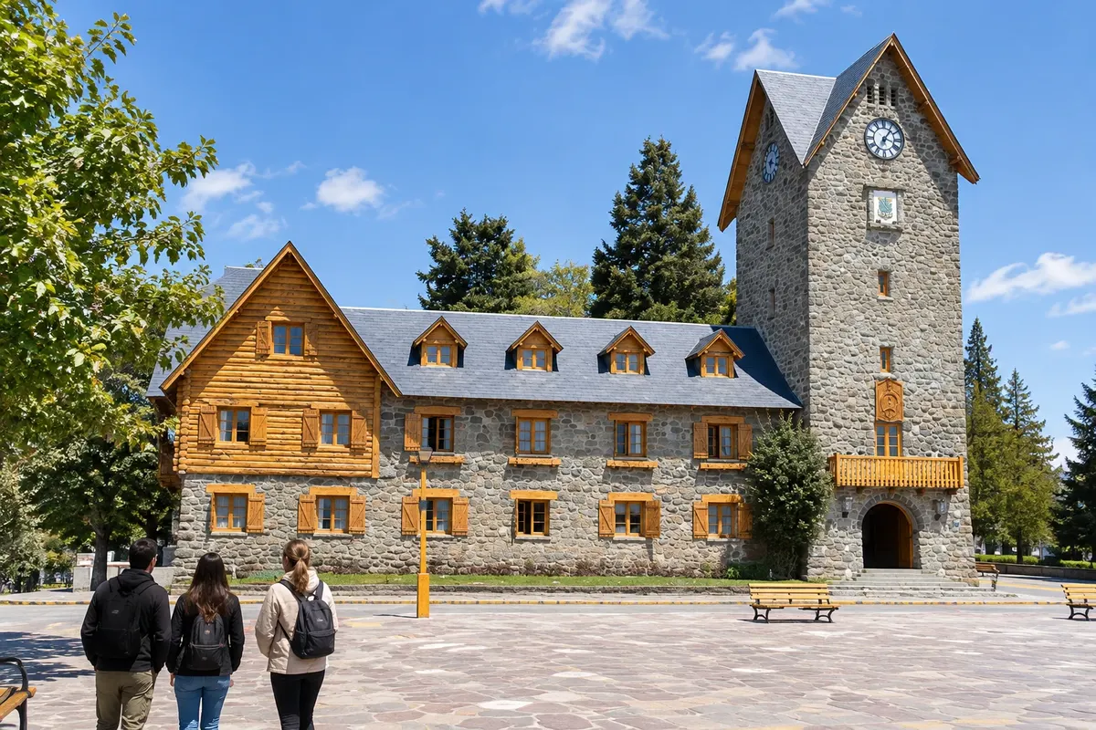
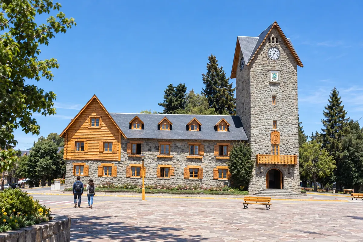
Central square of Bariloche surrounded by stone and wooden buildings, with the clock tower and a passage to rua Mitre.

 Išči
 Brazilija
 AntarktikaArgentina
 Bolivija
 Čile
 Kolumbija
 Ekvator
 Gvajana
 Francoska Gvajana
 Falklandski otoki (Malvini)
 Paragvaj
 Peru
 Surinam
 Urugvaj
 Venezuela
 Nemčija
 Avstrija
 Belgija
 Hrvaška
 Danska
 Slovaška
 Slovenija
 Španija
 Finska
 Francija
 Grčija
 Nizozemska
 Madžarska
 Irska
 Islandija
 Italija
 Luksemburg
 Norveška
 Poljska
 Portugalska
 Združeno kraljestvo
 Češka
 Švedska
 Švica
 Turčija
 Bermudi
 Kanada
 Združene države Amerike
 Grenlandija
 Mehika
 Sveta Peter in Mihael
 Dominikanska republika
 JaponskaTurčija
 Južnoafriška republika
 Egipt
 Avstralija
 Fidži
 Nova Zelandija
 Papua Nova Gvineja
Río Negro · Argentina
Destinacija: Bariloche and the Seven Lakes Route.
Na fotografiji: Centro Cívico de Bariloche
Illustrative images. The pictures in this guide are illustrations based on the real place, not photographs, and may differ from it.
Mesto
Bariloche occupies the southern shore of Nahuel Huapi, between urban commerce and the mountains. The Centro Cívico and the Catedral Nuestra Señora del Nahuel Huapi can be visited on foot. To the west, Cerro Campanario and Parque Municipal Llao Llao are part of longer excursions. The airport makes the town the main arrival point for this route.
V vodniku še ni nastanitev – Bariloche.
kako do tja · koliko dni · načrt poti · vprašanja
Poti – in Argentina
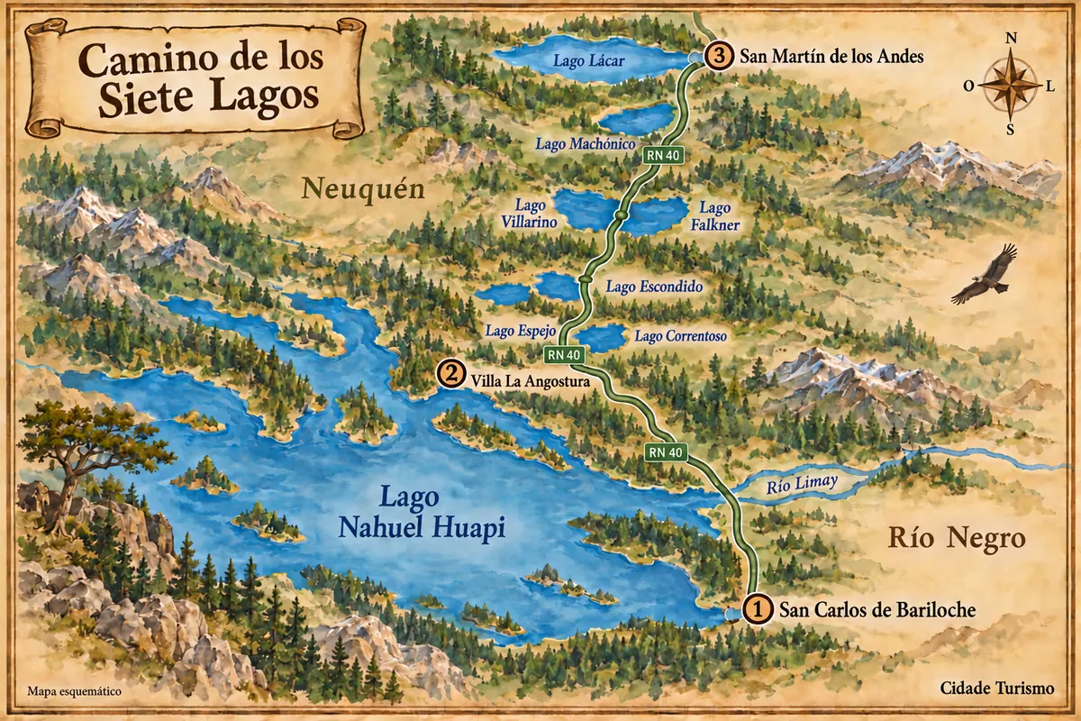
From the Nahuel Huapi shoreline in Bariloche to the lakes along RN 40, via Villa La Angostura and San Martín de los Andes.
Doživite kraj
Central square of Bariloche surrounded by stone and wooden buildings, with the clock tower and a passage to rua Mitre.
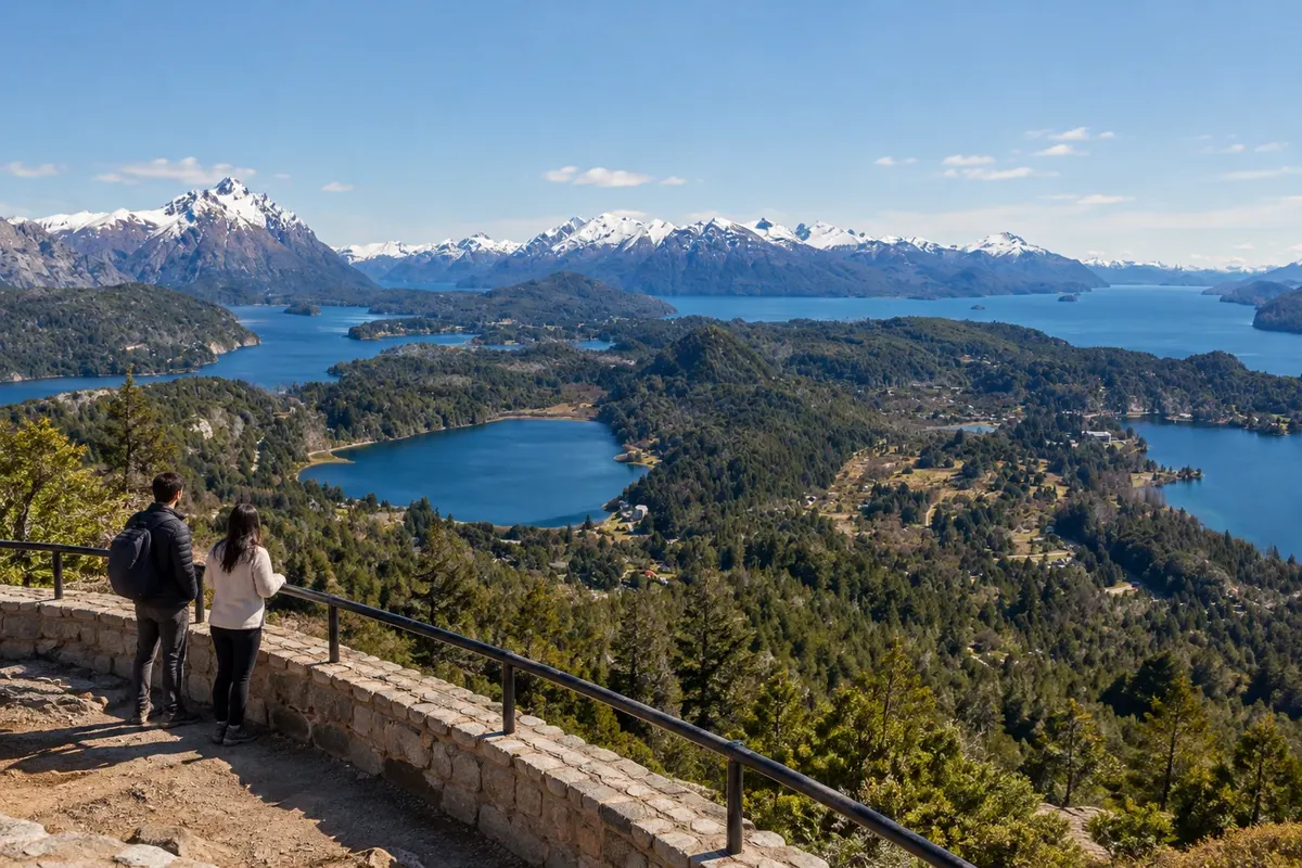
Mountain viewpoint in the western sector of Bariloche, with views over Nahuel Huapi, Lago Moreno and the forests of the Circuito Chico.
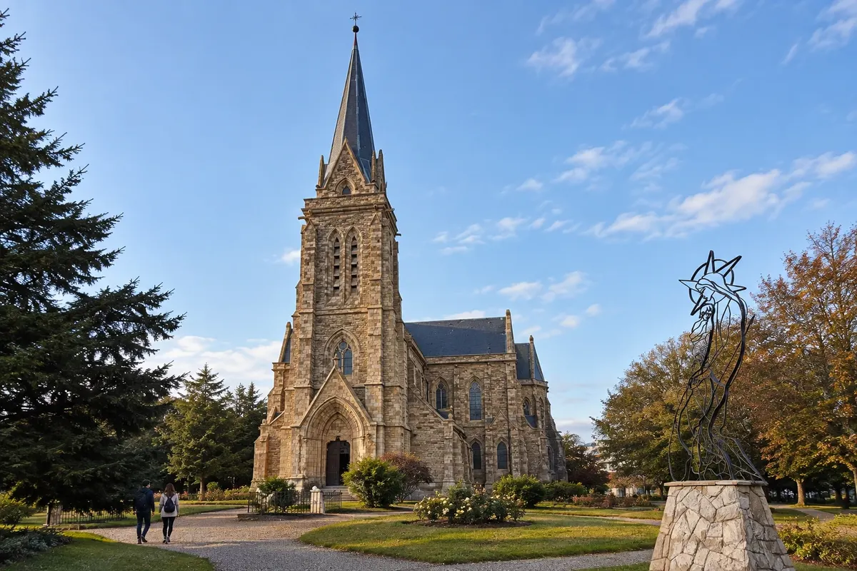
Neogothic stone temple beside the urban shore of Nahuel Huapi, with a tower, stained-glass windows and surrounding gardens.
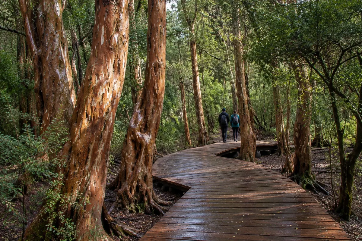
Protected area of Andean forest on the Circuito Chico, with trails among native trees and access to sections of Lagos Moreno and Nahuel Huapi.
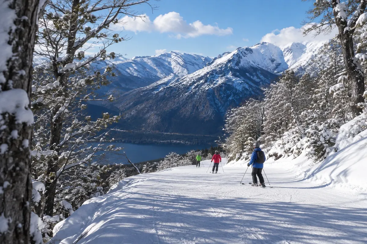
Mountain with ski runs, lifts and a village at the base. The visit also includes views of lakes Nahuel Huapi and Gutiérrez, depending on visibility.
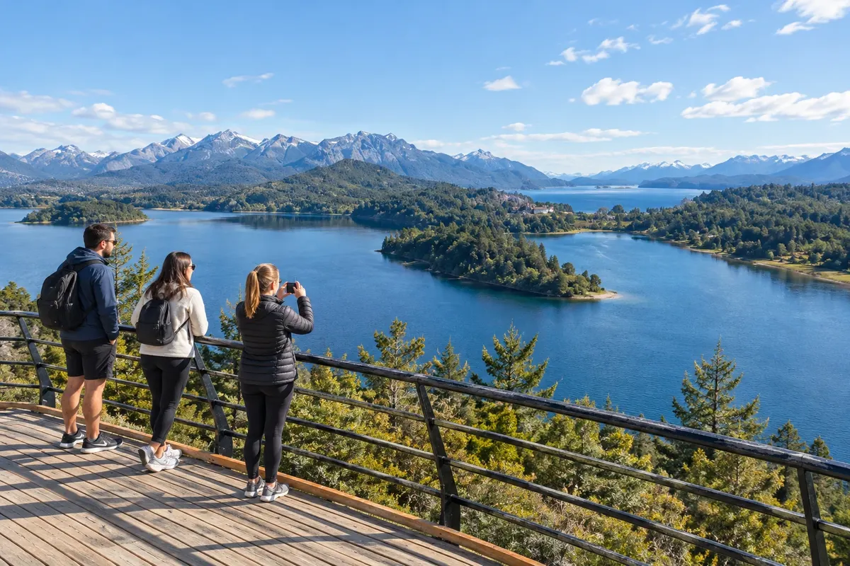
Route along the shores of Nahuel Huapi and Lake Moreno, with stops at viewpoints, beaches and woods in the west of Bariloche.
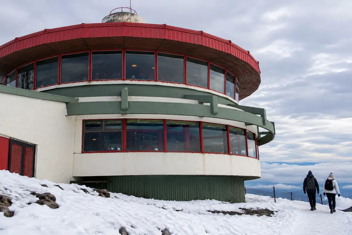
Mountain close to the center, accessible by cable car and featuring a revolving café at the top. The outing combines lake views and activities in the surroundings.
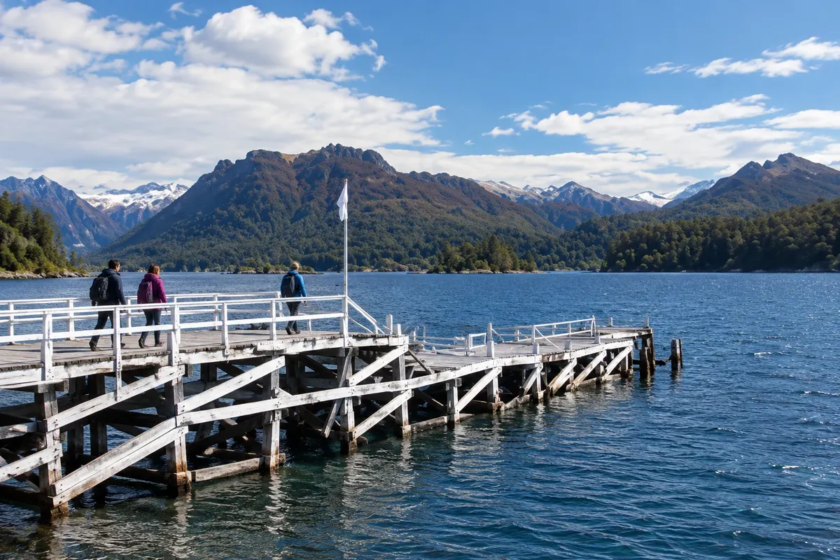
Island on Lake Nahuel Huapi visited by boat from Puerto Pañuelo, with disembarkation at Puerto Anchorena and walks among woods and beaches.
Pred odhodom
Bariloche – Río Negro Destinacija Bariloche and the Seven Lakes Route
Razdalje so približne. Pred potovanjem preverite lete in vozne rede avtobusov, vlakov ali ladij.
Check whether the connection requires changing airports. The air terminal is about 14 km from the center. Intercity buses arrive at the terminal in the eastern area; Ruta 40 links the town to Villa La Angostura.
Four days allow time for the center, Cerro Campanario and the trails of Parque Municipal Llao Llao. Set aside extra days if the trip also includes Villa La Angostura and San Martín de los Andes. Transfers along Avenida Bustillo deserve their own time.
From December to March, longer days usually favor outings around the lakes and forests. From June to September the cold is more intense and snow can appear in the mountains. In April and May, foliage often takes on autumn colors; rain and wind can alter choice of activities.
The seasons shown are the most usual ones; nature doesn't always follow the calendar.
The center is walkable. Urban buses and organized tours serve some of the attractions along Avenida Bustillo. A car helps string together Circuito Chico stops and travel to the other towns; to drive between June and September, check road conditions and the rental company's requirements.
Predlog poti
Pot povezuje znamenitosti na tej strani. Za oglede boste imeli dovolj časa.
Walk around the Centro Cívico square and observe the stone and wood buildings. Descend to the shore of Nahuel Huapi before continuing through the center.
Visit the Catedral Nuestra Señora del Nahuel Huapi. See the neo-Gothic exterior and, if visits are allowed at the time, the stained glass inside.
Return to the lakeside area near the Centro Cívico for a short walk. Bring a windbreaker layer even on December–March days.
Dine in the central commercial area, near your lodging. Chocolateries and restaurants are concentrated around Mitre street and nearby streets.
Check before you go. Opening hours and days change, and places may close for renovations, holidays or events. This itinerary is a suggestion from Cidade Turismo, not a commitment: plan yours by checking directly with each place you intend to visit.
Pred odhodom
The cold and snow-activity season is usually concentrated between June and September. Snow presence varies with altitude and weather; the urban center does not necessarily reflect mountain conditions.
Yes. The Centro Cívico, urban shore and the cathedral are in the central area. More distant excursions, like Campanario and Llao Llao, require a bus, hired transport or a car.
Four days are enough to see Bariloche without covering the entire Rota dos Sete Lagos. If you want to change base to Villa La Angostura and San Martín, set aside separate days for those towns and for the drive.
Več kot vodnik


