

Slap
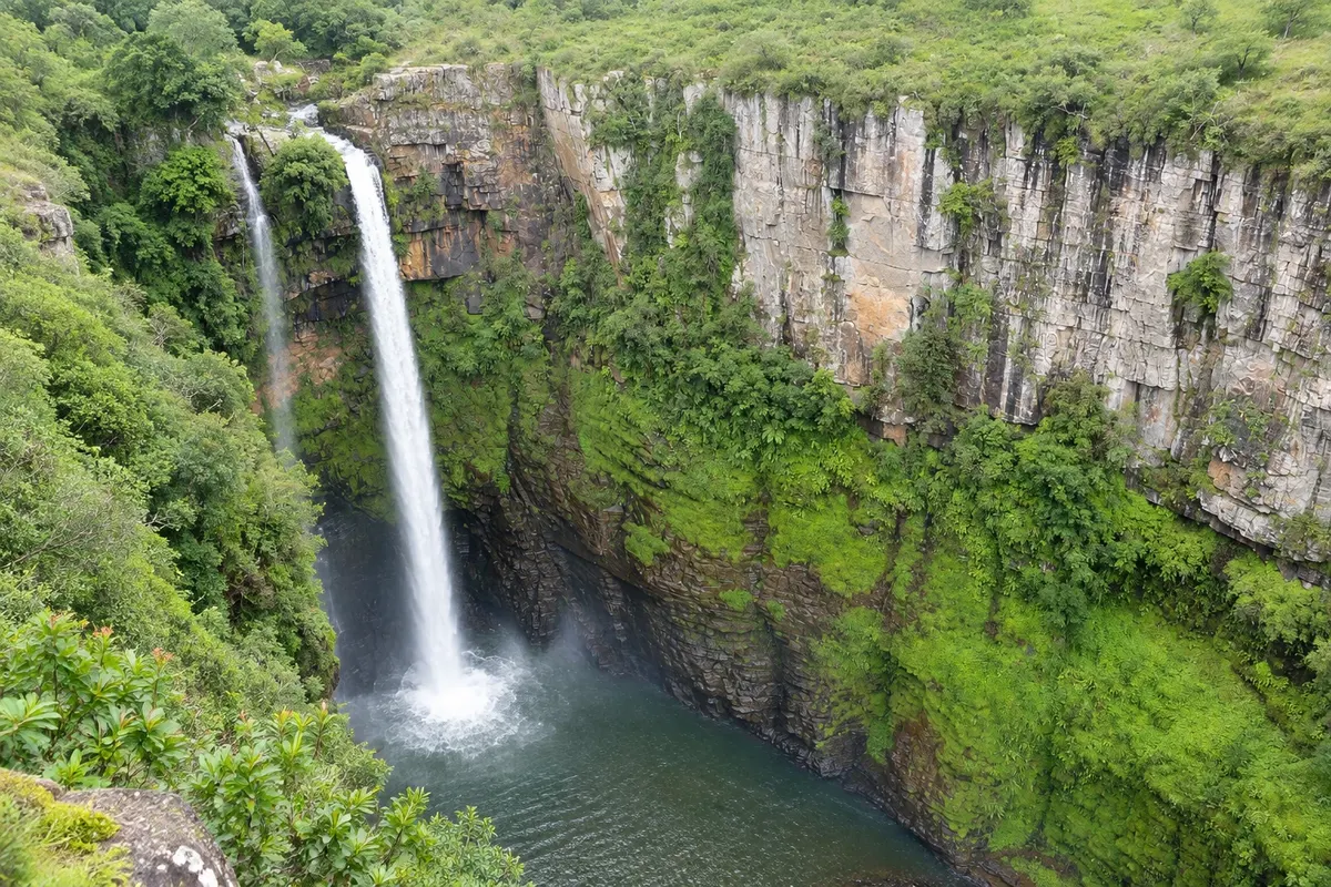
Mac-Mac Falls
A double drop of about 65 metres into a deep gorge between Sabie and Graskop, named by Scottish prospectors in the 19th century.

 Išči
 Brazilija
 Antarktika
 Argentina
 Bolivija
 Čile
 Kolumbija
 Ekvator
 Gvajana
 Francoska Gvajana
 Falklandski otoki (Malvini)
 Paragvaj
 Peru
 Surinam
 Urugvaj
 Venezuela
 Nemčija
 Avstrija
 Belgija
 Hrvaška
 Danska
 Slovaška
 Slovenija
 Španija
 Finska
 Francija
 Grčija
 Nizozemska
 Madžarska
 Irska
 Islandija
 Italija
 Luksemburg
 Norveška
 Poljska
 Portugalska
 Združeno kraljestvo
 Češka
 Švedska
 Švica
 Turčija
 Bermudi
 Kanada
 Združene države Amerike
 Grenlandija
 Mehika
 Sveta Peter in Mihael
 Dominikanska republika
 JaponskaTurčijaJužnoafriška republika
 Egipt
 Avstralija
 Fidži
 Nova Zelandija
 Papua Nova Gvineja
Mpumalanga · Južnoafriška republika
Destinacija: Panoramic Route and Blyde River Canyon.
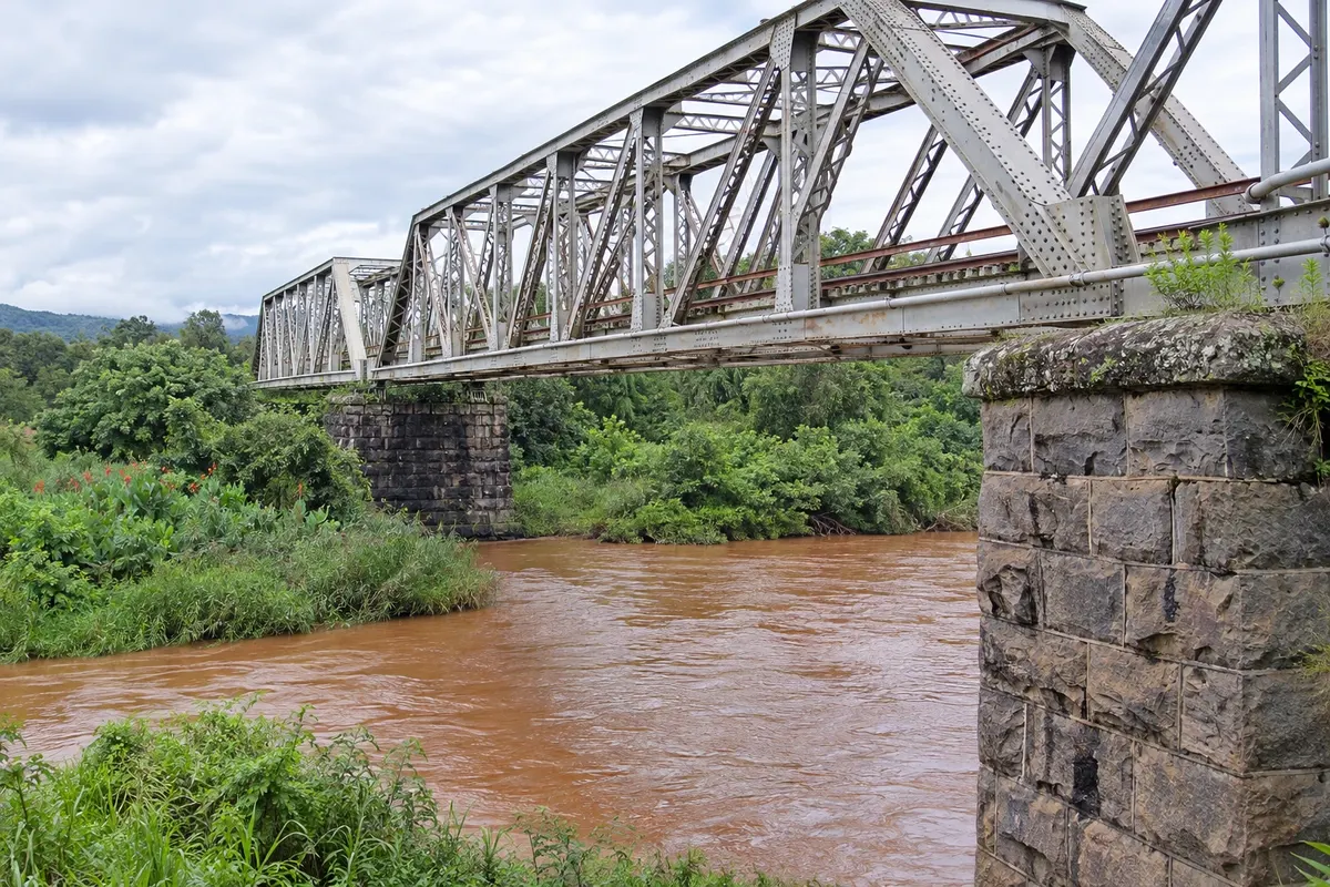
Na fotografiji: Sabie railway bridge
Illustrative images. The pictures in this guide are illustrations based on the real place, not photographs, and may differ from it.
Mesto
Sabie is a mountain town on the southern part of the Panorama Route, surrounded by plantations of pine and eucalyptus, about 27 km from Graskop. It began as a prospectors' camp at the end of the 19th century and became a center of the timber industry. Nearby are several easily accessible waterfalls, such as Mac-Mac, Lone Creek and Bridal Veil, and trails for hiking and mountain biking.
V vodniku še ni nastanitev – Sabie.
kako do tja · koliko dni · načrt poti · vprašanja
Doživite kraj
A double drop of about 65 metres into a deep gorge between Sabie and Graskop, named by Scottish prospectors in the 19th century.
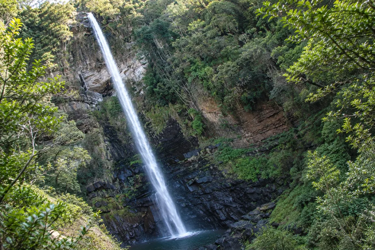
Two waterfalls in the forest west of Sabie: Lone Creek, about 68 metres with easy access, and Bridal Veil, which falls like a bride's veil.
Pred odhodom
Sabie – Mpumalanga Destinacija Panoramic Route and Blyde River Canyon približno 65 km stran (izhodišče: Mbombela)
Razdalje so približne. Pred potovanjem preverite lete in vozne rede avtobusov, vlakov ali ladij.
From Kruger Mpumalanga Airport (MQP), Sabie is about 75 km via the R40 and R537, just over an hour. From Graskop it's about 27 km via the R532. From Johannesburg, about 370 km via the N4 and Lydenburg.
One day for the waterfalls around town. With two days you can include mountain trails and a trip to Pilgrim's Rest.
In summer, from November to March, the waterfalls are fuller and the hills greener. Winter is dry and cold, with freezing nights.
The seasons shown are the most usual ones; nature doesn't always follow the calendar.
Yes. The waterfalls are up to 15 km from town center, and there is no public transport to them.
Predlog poti
Pot povezuje znamenitosti na tej strani. Za oglede boste imeli dovolj časa.
Follow the Old Lydenburg road west and visit the Bridal Veil and Lone Creek waterfalls.
Head north on the R532 to the Mac-Mac waterfall and the natural pools, Mac-Mac Pools.
Return to town and walk along the main street.
Have dinner at a town restaurant.
Check before you go. Opening hours and days change, and places may close for renovations, holidays or events. This itinerary is a suggestion from Cidade Turismo, not a commitment: plan yours by checking directly with each place you intend to visit.
Pred odhodom
Visit the Mac-Mac, Lone Creek and Bridal Veil waterfalls, hike the hills and continue to Pilgrim's Rest and Graskop.
About 27 km via the R532, roughly 25 minutes.
Yes, about 70 km from the Phabeni gate, via Hazyview.
One day for the waterfalls, two days including trails and Pilgrim's Rest.
Več kot vodnik


