Panoramic Route and Blyde River Canyon

Mpumalanga · Južnoafriška republika

Panoramic Route and Blyde River Canyon

Viewpoints over the Drakensberg escarpment, the Blyde River canyon, waterfalls amid pine forests and the gold-rush village of Pilgrim's Rest, about an hour from the Kruger.

Kruger, Mpumalanga and Limpopo

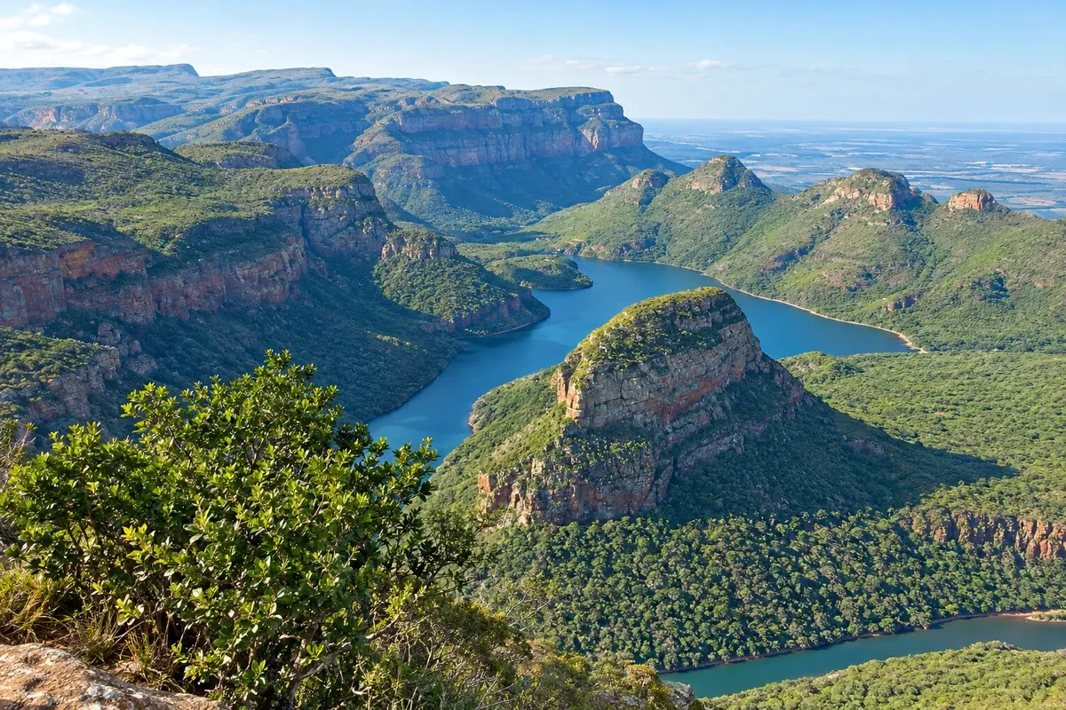
Na fotografiji: Blyde River Canyon

Illustrative images. The pictures in this guide are illustrations based on the real place, not photographs, and may differ from it.

Na voljo v trgovini Google Play Pošljite svoje fotografije

Spoznajte kraj

Pokrajina, ki jo doživite
v svojem ritmu.

The Panoramic Route is the road circuit that follows the edge of the Drakensberg escarpment in Mpumalanga, where the plateau drops suddenly about a thousand metres down to the Lowveld savanna. In a stretch of less than 100 km viewpoints, waterfalls, canyons and old villages come together, and for that reason the route is often done together with the Kruger, which lies just below.

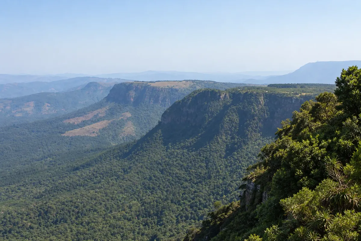
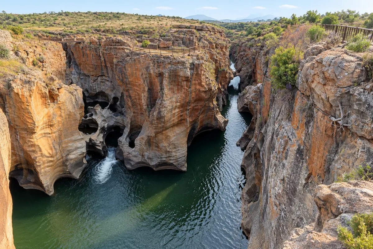
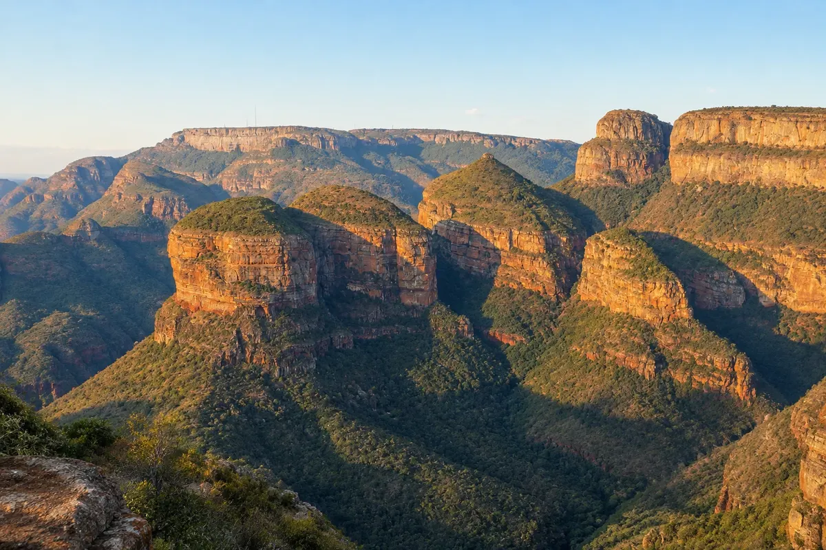
The focal point is the Blyde River canyon, about 26 km long, considered one of the largest in the world and covered in green forest. From the Three Rondavels viewpoint you can see the rounded peaks that resemble African huts and the Blydepoort dam down below. At the start of the canyon, Bourke's Luck potholes are cylindrical holes carved by water into the yellow rock, at the meeting of the Treur and Blyde rivers.

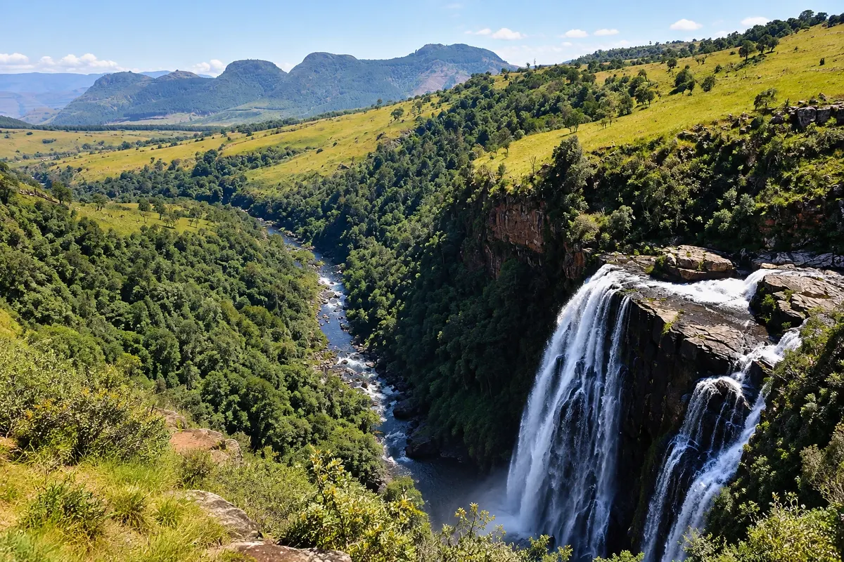
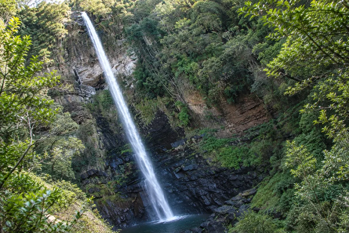
Further south, the escarpment has God's Window, a viewpoint from which, on a clear day, you can see the Lowveld to the horizon, and a sequence of waterfalls: Lisbon, Berlin, Mac-Mac, Lone Creek and Bridal Veil, many with names left by 19th-century prospectors. The region is covered in planted pine and eucalyptus forests, the economic base of Sabie and Graskop.

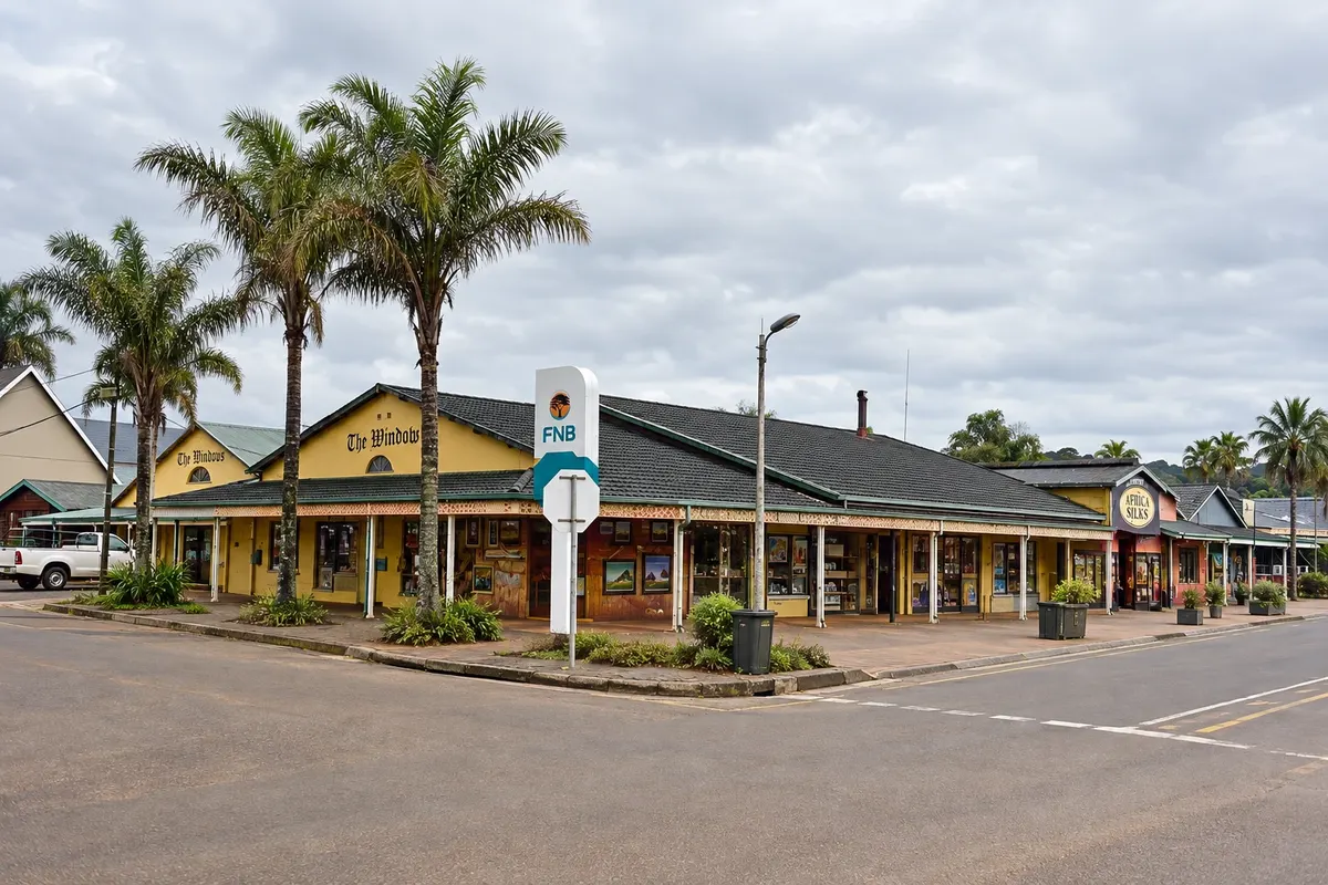
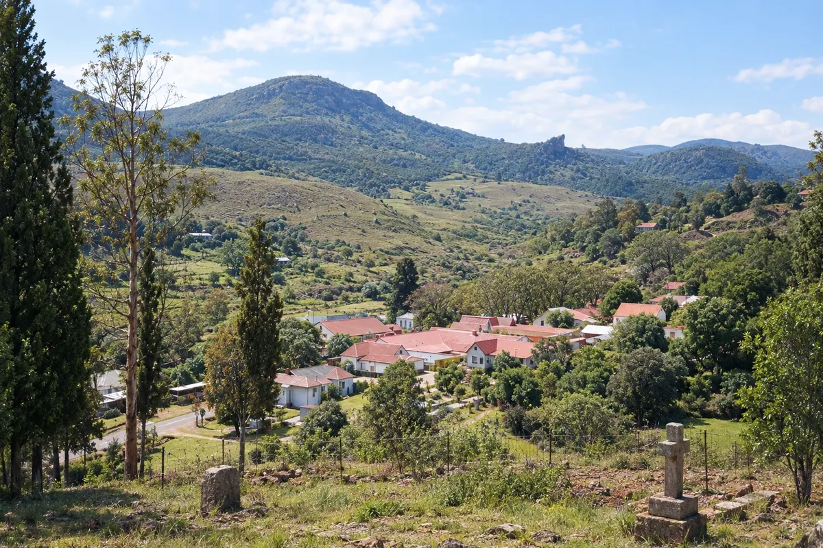
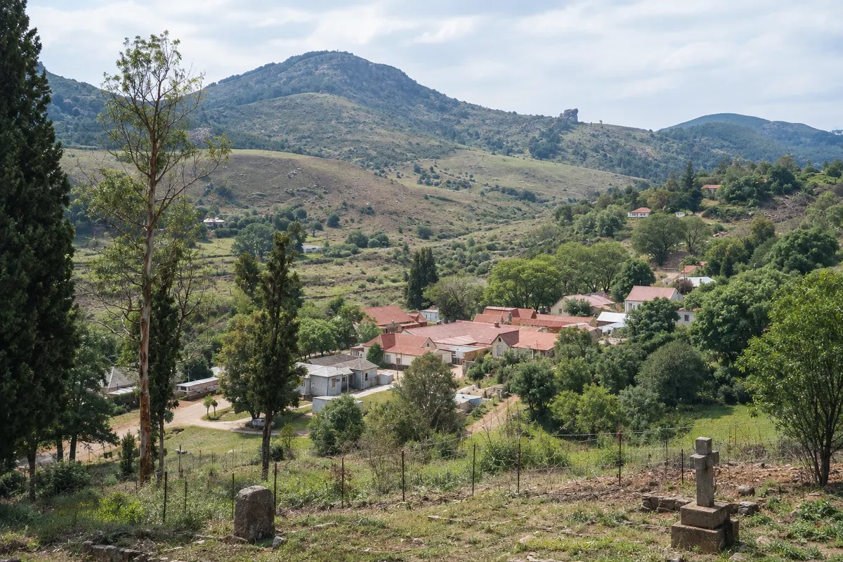
The history of the route is the history of gold: in 1873 alluvial gold was found in Pilgrim's Rest creek, and thousands of prospectors arrived in the region. The village was preserved with the corrugated iron and wooden houses of the time and today is an open-air museum.

This destination brings together 3 cities: Graskop, Sabie, Pilgrim's Rest.

Delite: WhatsApp
Delite svoja popotniška doživetja s fotografijami Pošljite fotografije vsakega kraja, ki ste ga obiskali. Največje število fotografij na kraj: 5.

Ena destinacija, več poti

Mesta na tej poti

Začnite v enem mestu ali v načrt poti vključite več mest.

Panoramic Route and Blyde River Canyon – lega
Pilgrim's RestSabieGraskop

Meje: South African Municipal Demarcation Board / OCHA ROSEA / geoBoundaries (CC BY 3.0 IGO). Priredba: Cidade Turismo.

Kako do tja:Panoramic Route and Blyde River Canyon

✈ Aeroporto Internacional Kruger Mpumalanga (MQP), kraj: Mbombela· 85 km do cilja (Graskop)

✈ Aeroporto de Hoedspruit (HDS), kraj: Hoedspruit· 90 km do cilja (Graskop)

Confirm before booking. International flights arrive in Johannesburg (JNB), and there are domestic flights to Mbombela (MQP) and Hoedspruit (HDS). Graskop is about 85 km from Mbombela airport and about 400 km from Johannesburg, roughly a 5-hour drive.

Predlagana točka prihoda:Graskop

Doživite kraj

Kaj početi – Panoramic Route and Blyde River Canyon

Mac-Mac Falls
Sabie · Mpumalanga · Slap

Mac-Mac Falls

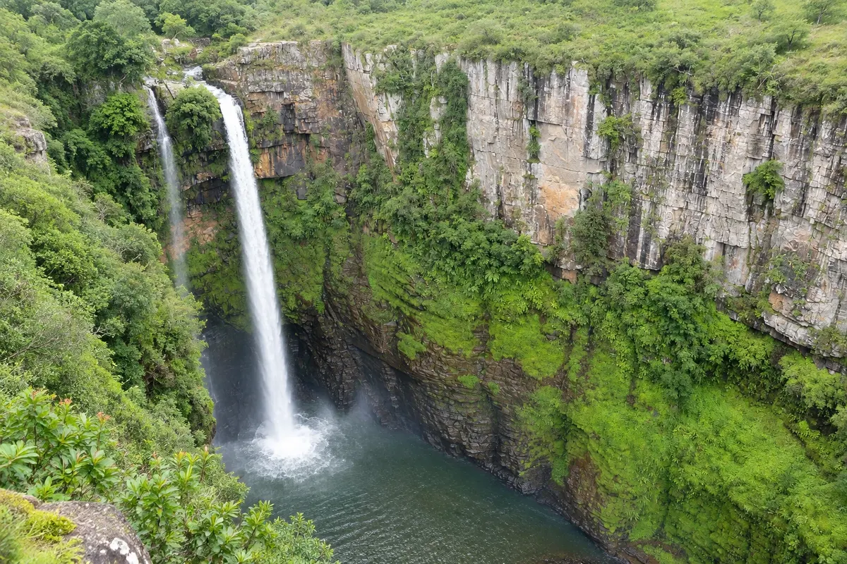
A double drop of about 65 metres into a deep gorge between Sabie and Graskop, named by Scottish prospectors in the 19th century.

God's Window
Graskop · Mpumalanga · Razgledišče

God's Window

Viewpoint on the edge of the Drakensberg escarpment, about 10 km from Graskop, overlooking the Lowveld roughly 900 meters below, with a trail through a moist forest.

Pilgrim's Rest Historic Village
Pilgrim's Rest · Mpumalanga · Historic town

Pilgrim's Rest Historic Village

Gold rush village from 1873, preserved with corrugated iron and wooden houses, small museums and the gold workings of the Diggings Museum.

Lisbon and Berlin Falls
Graskop · Mpumalanga · Slap

Lisbon and Berlin Falls

Two neighboring waterfalls near Graskop: Lisbon, about 94 meters high, the tallest in the region, and Berlin, which falls like a sail into a dark pool.

Panoramic Route and Blyde River Canyon – prikaži dodatne kraje (3)
Lone Creek and Bridal Veil Falls
Sabie · Mpumalanga · Slap

Lone Creek and Bridal Veil Falls

Two waterfalls in the forest west of Sabie: Lone Creek, about 68 metres with easy access, and Bridal Veil, which falls like a bride's veil.

Bourke's Luck Potholes
Graskop · Mpumalanga · Natural formation

Bourke's Luck Potholes

Cylindrical holes carved by water into the rock, at the meeting of the Treur and Blyde rivers, at the start of the canyon, with walkways over the rapids.

Three Rondavels Viewpoint
Graskop · Mpumalanga · Razgledišče

Three Rondavels Viewpoint

Viewpoint over the Blyde River Canyon, with three rounded peaks that resemble African huts and the Blydepoort dam down below.

Pred odhodom

Praktične informacije

Z nekaj načrtovanja boste imeli več časa za uživanje na poti.

Kdaj se odpraviti

The dry season, from May to September, has clearer skies and usually gives better visibility at the viewpoints, with cold nights. In summer, from November to March, the waterfalls are fuller, but afternoon mist and rain can close the view; go to the viewpoints early.

The seasons shown are the most usual ones; nature doesn't always follow the calendar.

Koliko dni ostati

One full day covers the main viewpoints, from God's Window to the Three Rondavels. With two days you can include the Sabie waterfalls and the village of Pilgrim's Rest at a relaxed pace. Many people combine the route with three days in the Kruger.

V katerem mestu prenočiti

Graskop sits in the middle of the route, near God's Window and the waterfalls, and has guesthouses and chalets. Sabie, larger, has more restaurants and is close to the southern waterfalls. In Pilgrim's Rest there is accommodation in historic village houses. On the canyon side there are chalets near the Blydepoort dam.

Spoštujte kraj

Odnesite svoje odpadke, upoštevajte oznake in podprite lokalne ponudnike. V naravi upoštevajte navodila za obiskovalce.

Odgovori na vaša vprašanja

Pogosta vprašanja – Panoramic Route and Blyde River Canyon

What is the Panoramic Route?

The road circuit on the edge of the Drakensberg escarpment in Mpumalanga, with viewpoints, waterfalls, the Blyde River canyon and the village of Pilgrim's Rest.

How long does the Panoramic Route take?

One full day for the main viewpoints; two days to include the Sabie waterfalls and Pilgrim's Rest.

Is the Panoramic Route near the Kruger?

Yes. Graskop is about 50 km from Hazyview and roughly one hour from the Phabeni gate.

When is visibility best at the viewpoints?

From May to September, in the dry season, the sky tends to be clearer; in summer, mist can close the view in the afternoon.

Do you need a car on the Panoramic Route?

Yes, or an organized tour. The viewpoints are spread along the R532 and R534, and there is no public transport between them. Driving is on the left.

Odkrijte druge destinacije Iskanje po zvezni državi in mestu

Več kot vodnik