Cabo Santa María Lighthouse
Odhod: La Paloma town center Peš Približno 1 uro Popoldne Lahko
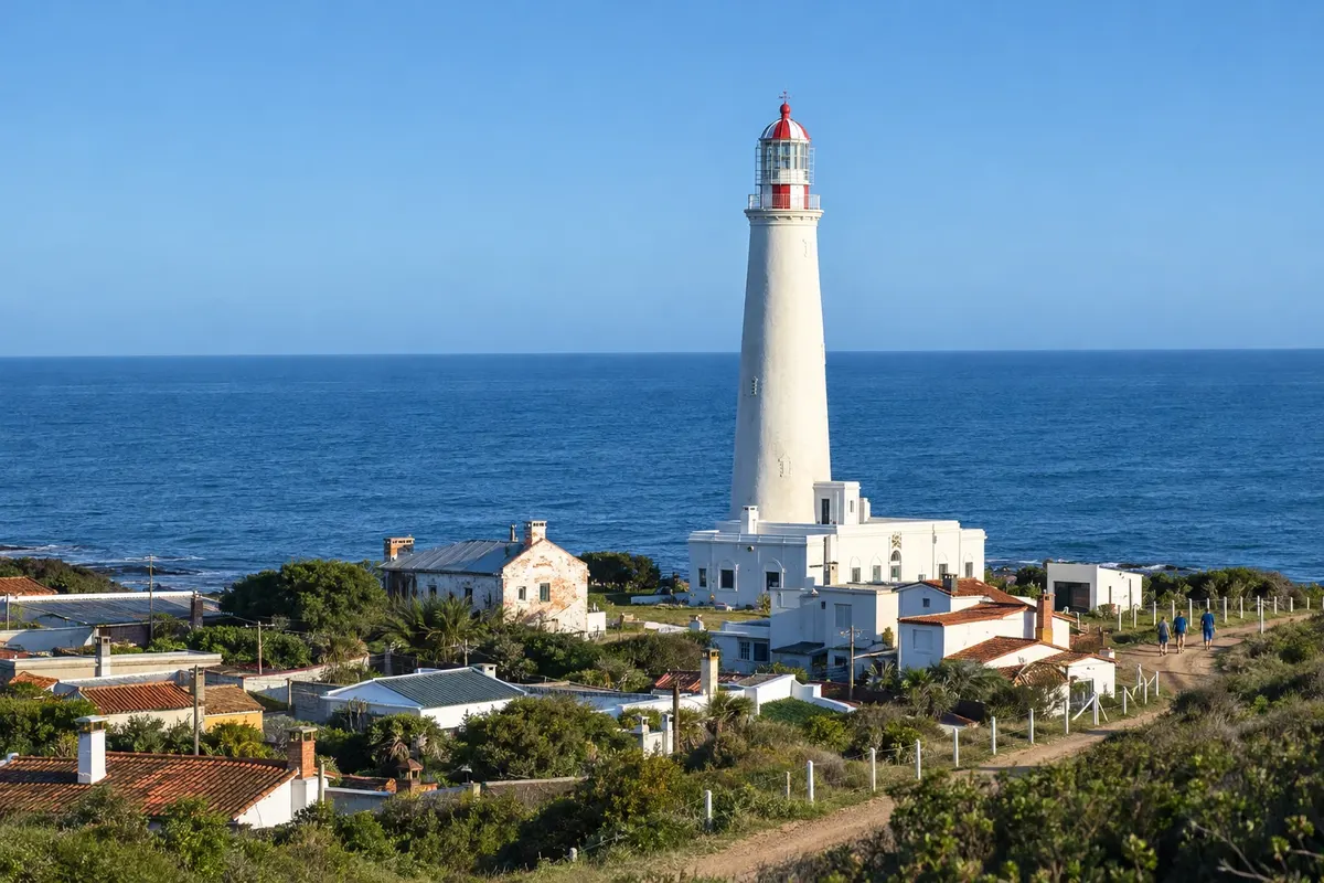
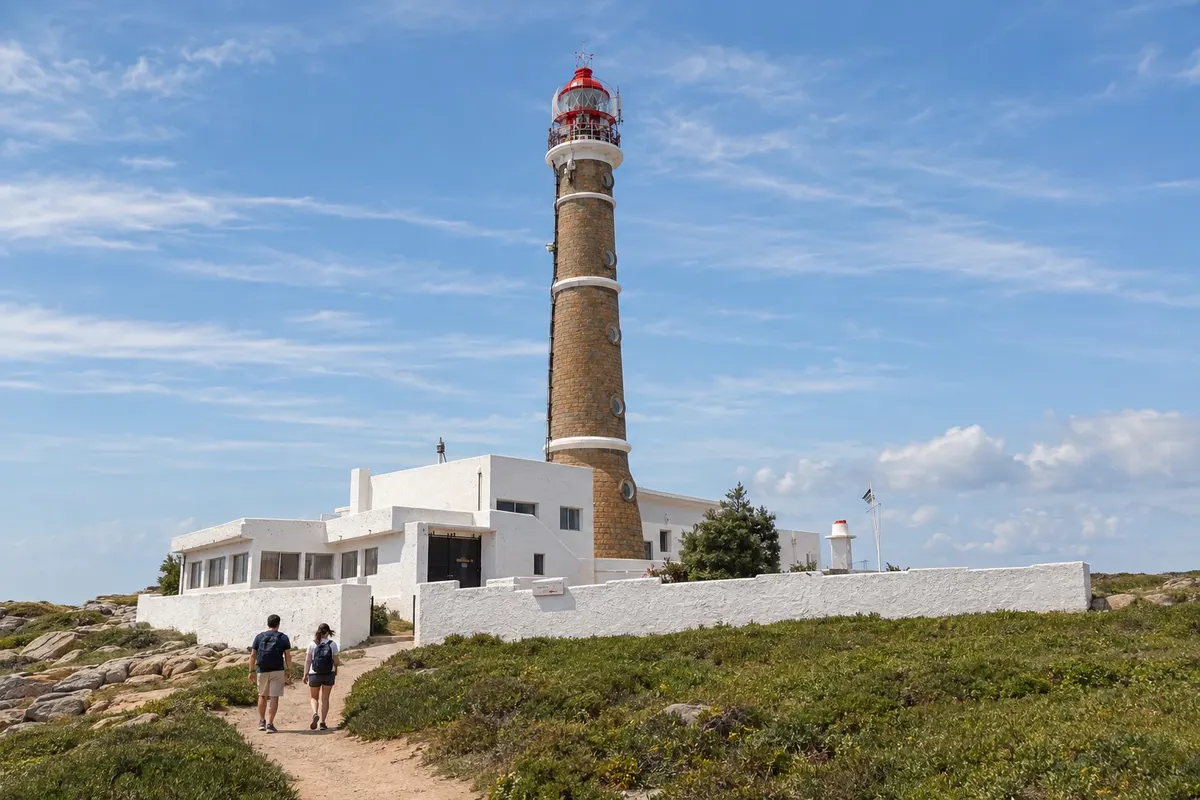
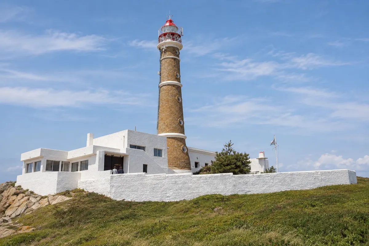
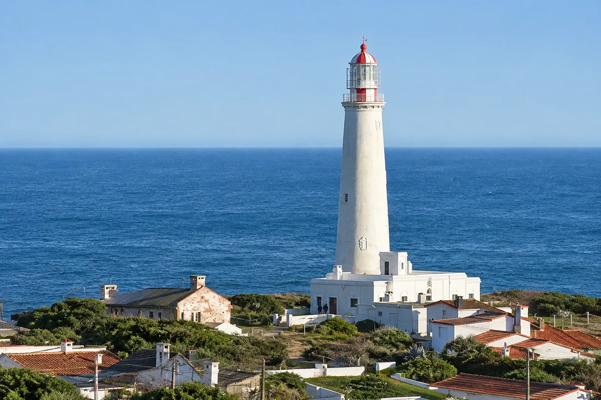
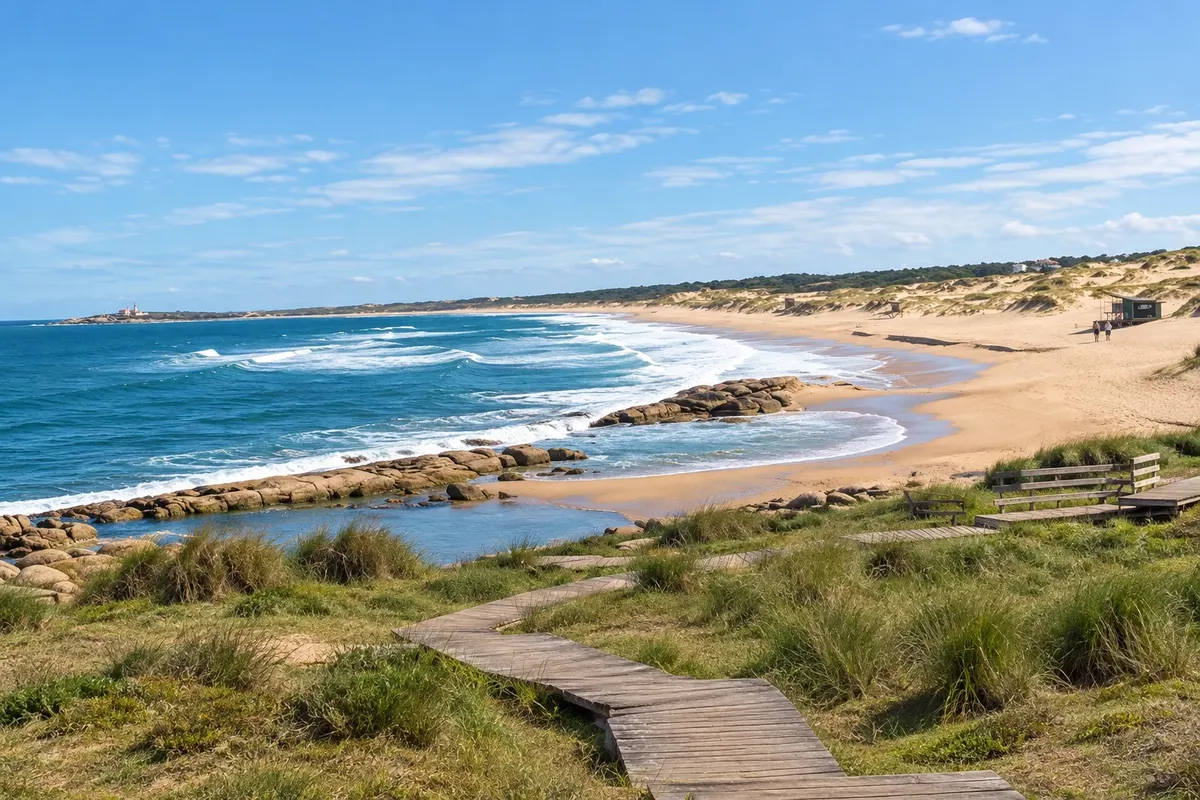
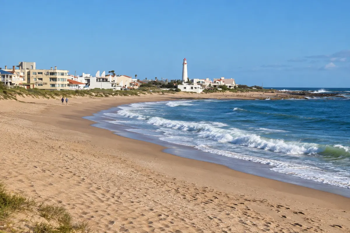
The Cabo Santa María Lighthouse is La Paloma’s lighthouse. Construction began in 1870, the tower collapsed in 1872 while still under construction, and the lighthouse was inaugurated in 1874. A spiral staircase of 143 steps leads to the top, with views of the resort, the port and the coastline around the cape. At the foot of the lighthouse is Playa del Faro, with rocks and natural tide pools, and next to it is Playa La Balconada, where many people gather late in the afternoon to watch the sunset.
Kraji na poti: Cabo Santa María Lighthouse, Playa del Faro, Playa La Balconada.
Vključuje: Separate paid admission, cash only; check the current rates. The climb is not allowed for children under 8 years old.
Nasvet: Go up late in the afternoon and come down in time for sunset at Playa La Balconada, which is next to it.
Najboljši čas za obisk: Vse leto.
La Paloma beaches and sunset at Playa La Balconada
Odhod: La Paloma town center Peš Pol dneva Popoldne Lahko
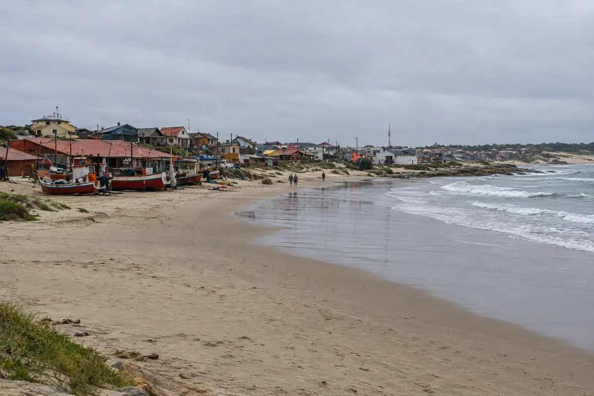
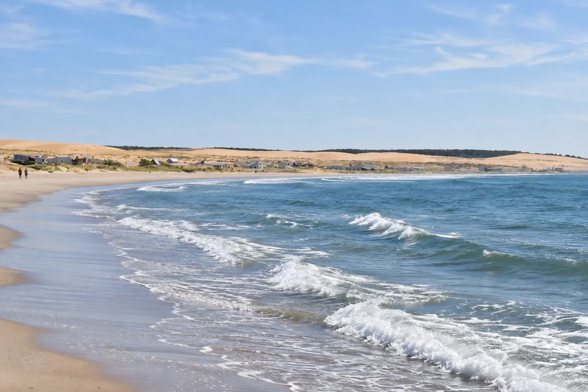
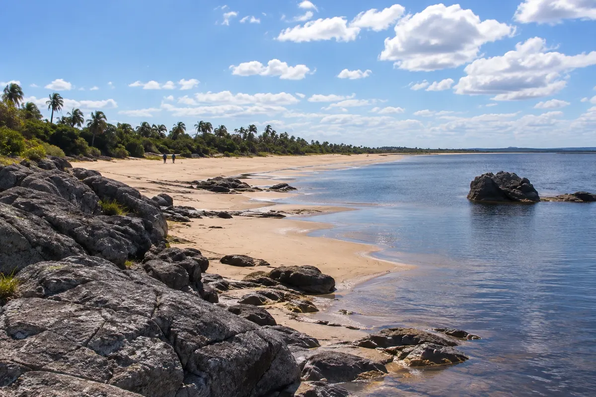
La Paloma occupies Cabo Santa María and has small and large beaches close to each other. Playa El Cabito is popular with families with small children and features the Cola de Ballena viewpoint. Bahía Grande has adapted access. In Los Botes is the Cristo de Lucho viewpoint. Playa del Faro has rocks and natural pools at the foot of the lighthouse. Playa La Serena attracts families and young people in summer, facing the open sea. At sunset the activity moves to Playa La Balconada, next to the lighthouse, where people gather to watch the sunset and often applaud when it ends. At the fishing port, artisanal fishers usually arrive with corvina, sole and small shark near dusk.
Kraji na poti: Playa La Balconada, Playa El Cabito, Bahía Grande, Playa Los Botes, Playa del Faro, Playa La Serena.
Vključuje: Beaches with free access; no services included.
Nasvet: Most beach services operate only in the summer season. For sunset, arrive at Playa La Balconada a little earlier.
Najboljši čas za obisk: December to February for swimming; the sunset at Playa La Balconada draws people year-round.
Laguna de Rocha: Barra de la Laguna trail and birdwatching
Odhod: Rincón de la Laguna (intersection of Routes 10 and 15) On foot, via a self-guided trail about a 1-hour trail Dopoldne Lahko
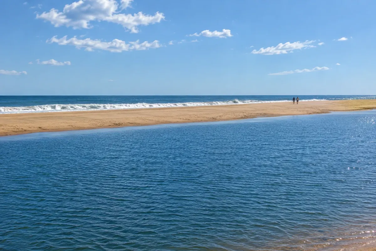
Laguna de Rocha is a protected area (Paisaje Protegido) of about 22,000 hectares, near La Paloma. The lagoon is shallow and connects to the sea from time to time through a sandbar that opens and closes depending on water volume, wind and waves. More than 220 bird species use the area, both resident and migratory. It is one of the few places in Uruguay with flamingos, and the black-necked swan population is among the largest in the world. The self-guided Barra de la Laguna trail starts at Rincón de la Laguna, at the intersection of Routes 10 and 15, and is 2.8 km. The path passes a bird hide and information panels explaining how the sandbar works, and ends on the dunes facing the sea. The first section is wheelchair accessible; after that the trail continues over sand. A community of artisanal fishers lives on the sandbar, harvesting shrimp, crab and fish. Operators from La Paloma run guided birdwatching departures.
Kraji na poti: Laguna de Rocha, Paisaje Protegido Laguna de Rocha, Rincón de la Laguna, Barra de la Laguna.
Vključuje: Self-guided trail; guided departures are charged separately. Check the current fee schedule.
Nasvet: Bring binoculars and footwear suitable for wet terrain. Walk carefully: some nests are on the ground and are hard to see. There are no lifeguards on the lagoon beach.
Najboljši čas za obisk: All year; there are resident and migratory birds in every season.
La Pedrera: cliff, beaches and the Cathay VIII
Odhod: La Paloma By car, along the coast Približno 3 ure Popoldne Lahko
La Pedrera is a small resort on a rocky cliff, neighboring La Paloma; from Cerro de la Virgen in La Paloma you can see it in the distance to the northeast. Playa El Desplayado is a small bay between rocks, popular with families. Playa del Barco attracts young people and surfers and preserves the remains of the fishing vessel Cathay VIII, which ran aground there in 1971. On the main avenue are the social and sports club, with shows in season, an artisan market and shops. In summer, La Pedrera holds a multi-day carnival. Southern right whales can also be seen from the shore: the season usually runs from July to October.
Kraji na poti: La Pedrera, Playa El Desplayado, Playa del Barco.
Vključuje: Self-guided visit, by car or taxi from La Paloma.
Nasvet: Go at late afternoon and stay for the activity on the main avenue, which is busier during the summer season.
Najboljši čas za obisk: December to February; carnival takes place in summer.
Laguna Negra
Odhod: Roundabout at Santa Teresa National Park (Route 9, km 302) By car, on a dirt road Približno 3 ure Popoldne Lahko
Laguna Negra, also called Laguna de los Difuntos, is the largest coastal lagoon in Uruguay and has no contact with the sea: it is fed by rain. Its dark color comes from a peat bottom. The second name comes from indigenous peoples, who used the caves in the nearby hills as a cemetery. To get there, follow Route 9 to km 302 and at the roundabout of Santa Teresa National Park take the road on the side opposite the park; it is a few kilometers of dirt road to the lagoon. The lagoon forms a protected area together with the Estación Biológica Potrerillo de Santa Teresa. Surrounding it are native forest, marshes, fields and rocky hills, as well as small calm-water beaches. You can hike, birdwatch, kayak and watch the sunset over the water. Local operators run guided departures.
Kraji na poti: Laguna Negra, Laguna de los Difuntos, Estación Biológica Potrerillo de Santa Teresa.
Vključuje: Visit on your own; guided departures and kayaking are charged separately. Check the current fee schedule.
Nasvet: Bring insect repellent, binoculars and water. After heavy rain, check the condition of the dirt road before you go.
Najboljši čas za obisk: Spring and summer.
Fuerte de San Miguel and Cerro Picudo
Odhod: Chuy (Chuí) By car, via Ruta 19 Približno 2 uri Dopoldne Lahko
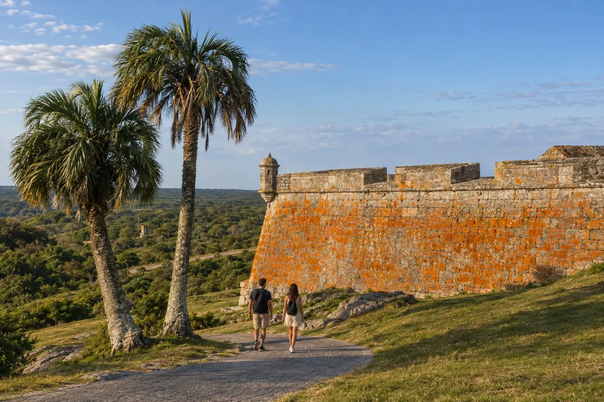
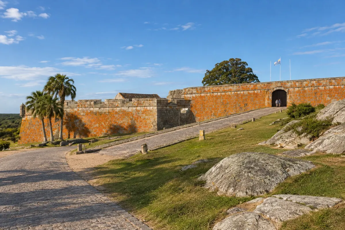
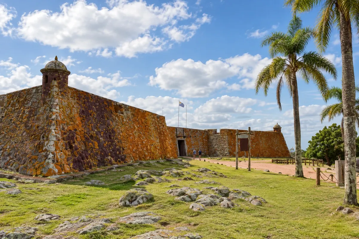
Fuerte de San Miguel sits atop Cerro San Miguel, on Ruta 19, about 7 km from Chuy (Chuí) and 6 km from Laguna Merín (Lagoa Mirim). It was built by the Spanish in 1734, taken by the Portuguese in 1737—who gave it its definitive shape—and retaken by the Spanish in 1763. It has been a national historic monument since 1937 and is part of San Miguel National Park. After crossing the drawbridge, there are reconstructions of the quarters and a military history museum with uniforms, weapons, decorations and replicas of colonial-period objects. Nearby are the old cemetery (Campo Santo), a creole museum with a 1816 stagecoach and an 1880 wagon, a clay-and-straw ranch and a replica of an old pulpería, the country store. A marked trail climbs Cerro Picudo, about 100 meters, with views of Laguna Merín, Chuy, the rice fields and the Fortaleza de Santa Teresa in the distance.
Kraji na poti: Fuerte de San Miguel, Cerro Picudo, San Miguel National Park, Laguna Merín.
Vključuje: Separate admission paid on site, paid only in Uruguayan pesos. Children under 12 and people over 65, with ID, do not pay. Check the current price table.
Nasvet: The fort is open every day.
Najboljši čas za obisk: Vse leto.
Hike across the dunes from Cabo Polonio to Cerro de la Buena Vista
Odhod: Playa de la Calavera (Cabo Polonio) On foot, across sand and dunes more than 4 hours, round trip Ves dan Zmerno zahtevno
From Playa de la Calavera, north of the Cabo Polonio village, a walk of about 7 km across the dunes leads to Cerro de la Buena Vista, near Barra de Valizas. The hill is the highest point on the Uruguayan coast and, between 1750 and 1777, marked the border between the Spanish and Portuguese empires under the Treaty of Madrid. The route crosses one of the few mobile dune fields in the region, with no shade and no services. Barra de Valizas is a small village at the mouth of Arroyo Valizas, which links Laguna de Castillos to the sea.
Kraji na poti: Playa de la Calavera, Cerro de la Buena Vista, Barra de Valizas, Arroyo Valizas.
Vključuje: Self-guided walk, no services included.
Nasvet: Bring water, a hat and sunscreen. Avoid very windy days that lift sand, and leave early so you can return in daylight. If you don’t know the route, consider hiring local guides.
Najboljši čas za obisk: Spring and autumn, with mild temperatures; in summer, depart very early.
southern right whales from coastal viewpoints
Odhod: La Paloma, Cabo Polonio or Punta del Diablo On foot, from onshore viewpoints od ene do dveh ur Dopoldne Lahko
The southern right whale passes along the Rocha coast in winter and spring; the season typically runs from July to October. Watching is done from shore, at high points along the coast. In La Paloma, Cerro de la Virgen, between La Aguada and Costa Azul, is the highest point in that stretch and has a wooden platform with benches. At Laguna de Rocha, the dunes at the end of the Barra de la Laguna trail also serve as a viewpoint. In La Coronilla, north of Santa Teresa National Park, the protected Cerro Verde area has two wooden viewpoints. Cabo Polonio and Punta del Diablo are also among the observation spots. The most common sign is a V-shaped blow, which can reach about 4 meters high. Whale presence close to the coast varies day to day.
Kraji na poti: Cerro de la Virgen, Barra de la Laguna, Cerro Verde, Cabo Polonio, Punta del Diablo.
Vključuje: Observation on your own, from shore.
Nasvet: Bring binoculars and warm clothes, because the wind on the coast is strong in winter. Ask at tourist information centers if there were sightings in the previous days.
Najboljši čas za obisk: July to October.


 Brazilija
 Antarktika
 Argentina
 Bolivija
 Čile
 Kolumbija
 Ekvator
 Gvajana
 Francoska Gvajana
 Falklandski otoki (Malvini)
 Paragvaj
 Peru
 Surinam
 Venezuela
 Nemčija
 Avstrija
 Belgija
 Hrvaška
 Danska
 Slovaška
 Slovenija
 Španija
 Finska
 Francija
 Grčija
 Nizozemska
 Madžarska
 Irska
 Islandija
 Italija
 Luksemburg
 Norveška
 Poljska
 Portugalska
 Združeno kraljestvo
 Češka
 Švedska
 Švica
 Turčija
 Bermudi
 Kanada
 Združene države Amerike
 Grenlandija
 Mehika
 Sveta Peter in Mihael
 Dominikanska republika
 Japonska
 Južnoafriška republika
 Egipt
 Avstralija
 Fidži
 Nova Zelandija
 Papua Nova Gvineja