Chivay

Arequipa · Peru

Chivay

Destinacija: Arequipa and the Colca Canyon.

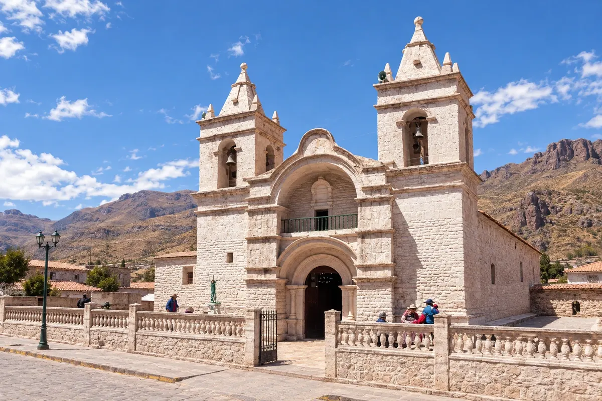
Na fotografiji: Igreja de Nuestra Señora de la Asunción, Chivay.

Illustrative images. The pictures in this guide are illustrations based on the real place, not photographs, and may differ from it.

Na voljo v trgovini Google Play Pošljite svoje fotografije

Mesto

Kaj lahko pričakujete – Chivay.

Chivay is the main village in the Colca Valley, at about 3,600 meters and 160 km from Arequipa. It has a plaza with a church, a market and simple hotels, and is the base for the canyon, for the La Calera hot springs and for the colonial villages of the valley, such as Yanque, Maca and Cabanaconde. The Cruz del Cóndor viewpoint is about 40 km away.

Delite: WhatsApp

Kje prenočiti

V vodniku še ni nastanitev – Chivay.

Kje jesti

V vodniku še ni restavracij – Chivay.

Poznate dobro možnost? Priporočite nam jo

Vaše potovanje

kako do tja · koliko dni · načrt poti · vprašanja

Doživite kraj

Chivay: kaj si ogledati

Cruz del Cóndor viewpoint
Razgledišče

Cruz del Cóndor viewpoint

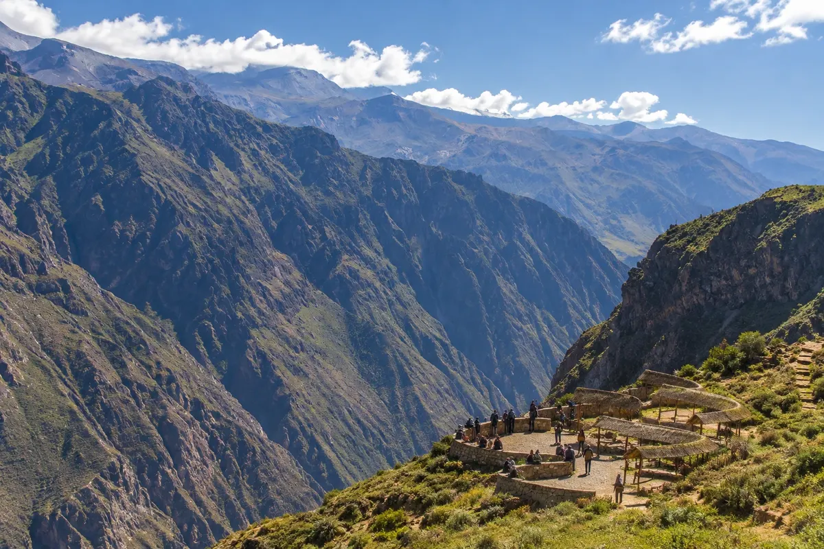
Viewpoint on the rim of the Colca Canyon, about 40 km from Chivay, with the river more than a thousand meters below. In the early morning hours, Andean condors often glide near the rim.
La Calera Hot Springs
Zdravilišče

La Calera Hot Springs

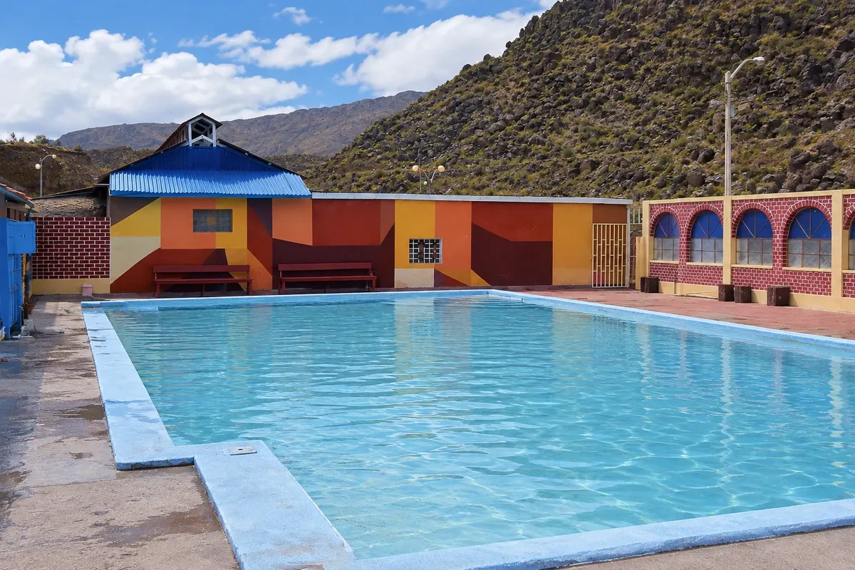
Thermal pools on the banks of the Colca River, 3 km from Chivay, fed by hot volcanic springs and surrounded by mountains, with changing-room facilities.
Salinas and Aguada Blanca National Reserve
Natural area

Salinas and Aguada Blanca National Reserve

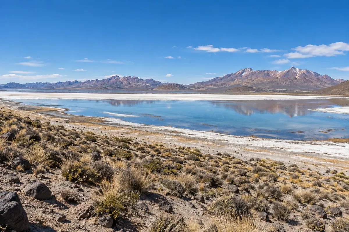
Protected area of 366,936 hectares of Andean high plains between Arequipa and the Colca, with vicunas, llamas, alpacas and flamingo lagoons, crossed by the road to Chivay.


Pred odhodom

Vaše potovanje – Chivay

Chivay – Arequipa Destinacija Arequipa and the Colca Canyon približno 160 km stran (izhodišče: Arequipa)

Kako do tja

  • Aeropuerto Internacional Alfredo Rodríguez Ballón (AQP) Arequipa · 165 km
  • Terminal Terrestre de Chivay 1 km

Razdalje so približne. Pred potovanjem preverite lete in vozne rede avtobusov, vlakov ali ladij.

From Arequipa it is about 160 km on a paved road, a 3–4 hour drive, passing through the Reserva Nacional de Salinas y Aguada Blanca and the Patapampa overlook, at nearly 4,900 meters. There are regular buses from Arequipa's bus terminal and vans from tour operators. The nearest airport is Arequipa.

Koliko dni

Two days: the first for the trip from Arequipa, with stops in the reserve, and the afternoon at the La Calera hot springs; the second for the Cruz del Cóndor in the morning, with stops in Yanque, Maca and the valley viewpoints, and the return to Arequipa. Those who want to hike down to the canyon floor add one or two days, starting from Cabanaconde.

Kdaj se odpraviti

The dry season usually runs from May to November, with clear skies and very cold nights, below zero. From December to March it usually rains in the afternoons and the terraces turn green. The condors tend to appear more often in the dry season. In July and August the villages hold festivals with dances, such as the wititi, recognized as Intangible Cultural Heritage by UNESCO.

The seasons shown are the most usual ones; nature doesn't always follow the calendar.

Ali potrebujete avto?

No. Agency tours leaving from Arequipa include all the stops, and there are regular buses to Chivay and Cabanaconde that pass by the Cruz del Cóndor. In Chivay, taxis and vans take you to La Calera and the villages. A car gives freedom, but the road rises above 4,800 meters.

Predlog poti

Predlagani vrstni red ogledov

Pot povezuje znamenitosti na tej strani. Za oglede boste imeli dovolj časa.

2 dni – Chivay

Dan 1

  1. Zjutraj
    Road from Arequipa

    Leave Arequipa early and stop at Pampa Cañahuas in the Reserva Nacional de Salinas y Aguada Blanca to see vicuñas.

  2. Popoldne
    Patapampa and Chivay

    Stop at the Patapampa overlook, at nearly 4,900 meters, and descend to the valley. Have a light lunch in Chivay and rest to acclimatize.

  3. Pozno popoldne
    La Calera

    Bath in the La Calera thermal pools, 3 km from the village, on the riverbank.

  4. Ponoči
    Night in Chivay

    Light dinner in the village. Nights are cold: bring warm clothes.

Dan 2

  1. Zjutraj
    Cruz del Cóndor

    Leave at dawn for the Cruz del Cóndor and wait for the condors, which usually appear in the early morning hours.

  2. Popoldne
    Valley villages

    On the way back, stop in Pinchollo, Maca and Yanque to see the colonial churches and the terraces.

  3. Pozno popoldne
    Viewpoints

    Stop at the Choquetico viewpoint, above the pre-Inca terraces, then continue to Chivay.

  4. Ponoči
    Return to Arequipa

    Return trip to Arequipa, arriving in the evening.

Check before you go. Opening hours and days change, and places may close for renovations, holidays or events. This itinerary is a suggestion from Cidade Turismo, not a commitment: plan yours by checking directly with each place you intend to visit.

Pred odhodom

Pogosta vprašanja

What is the altitude of Chivay?

About 3,600 meters. Many travelers feel the altitude on the first day. Take it easy and, if possible, spend a few days in Arequipa beforehand. Talk to your doctor before traveling.

Can you do the Colca in one day?

You can, with tours that depart Arequipa at dawn and return at night, but the day is long and the altitude takes its toll. With one night in Chivay, the visit to the Cruz del Cóndor is more relaxed.

What is the distance from Chivay to the Cruz del Cóndor?

About 40 km, a 1.5–2 hour drive along the road that passes Yanque, Achoma, Maca and Pinchollo.

Is it cold in Chivay?

Nights are cold year-round, and from May to August temperatures often drop below zero at dawn. During the day, with sun, it can be warm. Bring layered clothing.

What is the wititi?

It is a traditional dance of the Colca Valley, associated with courtship, performed at village festivals, mainly from July to August. It was recognized as Intangible Cultural Heritage by UNESCO in 2015.

Delite svoja popotniška doživetja s fotografijami Pošljite fotografije vsakega kraja, ki ste ga obiskali. Največje število fotografij na kraj: 5.
Ogled destinacije Arequipa and the Colca Canyon Poiščite drugo mesto

Več kot vodnik