

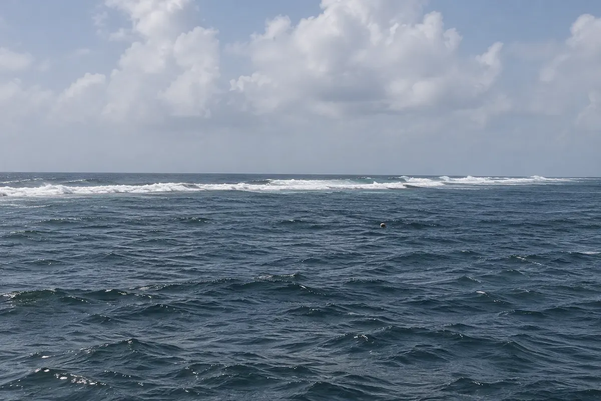
National park
Puerto Morelos Reef National Park
The coral reef in front of Puerto Morelos, a few hundred meters from the beach, protected as a national park and visited on guided snorkeling trips.

 Išči
 Brazilija
 Antarktika
 Argentina
 Bolivija
 Čile
 Kolumbija
 Ekvator
 Gvajana
 Francoska Gvajana
 Falklandski otoki (Malvini)
 Paragvaj
 Peru
 Surinam
 Urugvaj
 Venezuela
 Nemčija
 Avstrija
 Belgija
 Hrvaška
 Danska
 Slovaška
 Slovenija
 Španija
 Finska
 Francija
 Grčija
 Nizozemska
 Madžarska
 Irska
 Islandija
 Italija
 Luksemburg
 Norveška
 Poljska
 Portugalska
 Združeno kraljestvo
 Češka
 Švedska
 Švica
 Turčija
 Bermudi
 Kanada
 Združene države Amerike
 GrenlandijaMehika
 Sveta Peter in Mihael
 Dominikanska republika
 JaponskaTurčija
 Južnoafriška republika
 Egipt
 Avstralija
 Fidži
 Nova Zelandija
 Papua Nova Gvineja
Quintana Roo · Mehika
Destinacija: Riviera Maya (Playa del Carmen and Cozumel).
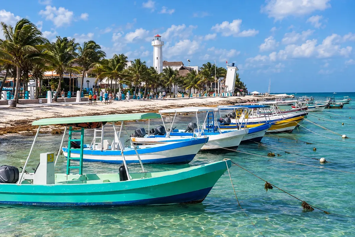
Na fotografiji: Puerto de Puerto Morelos
Illustrative images. The pictures in this guide are illustrations based on the real place, not photographs, and may differ from it.
Mesto
Puerto Morelos is a fishing village between Cancún and Playa del Carmen, about 20 km from Cancún airport. It has a seaside square, the leaning lighthouse, toppled by a hurricane in 1967 and left as a reminder, and the reef protected as a national park a few hundred meters from the beach, good for snorkeling. On the roadside is the Jardín Botánico Dr. Alfredo Barrera Marín. It’s the calmest village in the northern Riviera Maya.
V vodniku še ni nastanitev – Puerto Morelos.
kako do tja · koliko dni · načrt poti · vprašanja
Doživite kraj
The coral reef in front of Puerto Morelos, a few hundred meters from the beach, protected as a national park and visited on guided snorkeling trips.
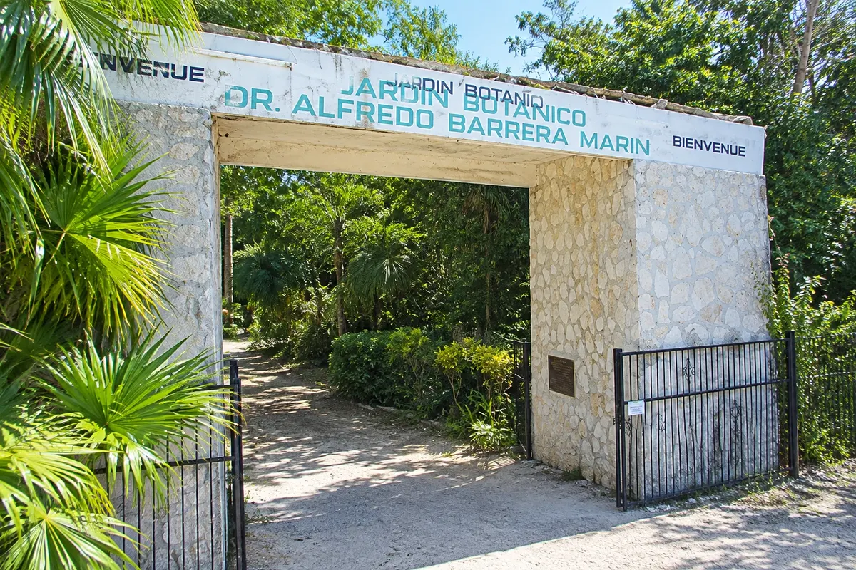
Tropical rainforest botanical garden on the roadside in Puerto Morelos, with trails, a chicle harvesters' camp, a Maya house and remains of a small pre-Hispanic structure.
Pred odhodom
Puerto Morelos – Quintana Roo Destinacija Riviera Maya (Playa del Carmen and Cozumel) približno 345 km stran (izhodišče: Chetumal)
Razdalje so približne. Pred potovanjem preverite lete in vozne rede avtobusov, vlakov ali ladij.
It is about 20 km from Cancún airport and 35 km from Playa del Carmen. Highway 307 buses stop at the junction with the village road, about 2 km from the center, from where you continue by taxi.
One day is enough for snorkeling at the reef, the square and the lighthouse. As a quiet base, the village works for a few days of beach close to the airport.
December to April is usually the dry season. The reef is clearer with no wind and no rain. June to November is the Caribbean hurricane season.
The seasons shown are the most usual ones; nature doesn't always follow the calendar.
Not needed for the village, which is explored on foot. A car helps for the Route of the Cenotes, the road that leaves the village inland, with several cenotes open to the public.
Predlog poti
Pot povezuje znamenitosti na tej strani. Za oglede boste imeli dovolj časa.
Hire at the square a registered fishing boat for snorkeling at the national park reef, a few minutes from the beach.
In the afternoon, go to the Jardín Botánico Dr. Alfredo Barrera Marín, on the roadside, for jungle trails and the chicle harvesters' camp.
In the late afternoon, walk along the beach to the leaning lighthouse and the village pier.
Dine at the seaside square, with fish and seafood restaurants run by local fishermen.
Check before you go. Opening hours and days change, and places may close for renovations, holidays or events. This itinerary is a suggestion from Cidade Turismo, not a commitment: plan yours by checking directly with each place you intend to visit.
Pred odhodom
Yes, about 20 km, roughly 20 minutes by car. It is one of the closest bases to the airport in the Riviera Maya.
The lighthouse was partially knocked over by Hurricane Beulah in 1967 and remained tilted. A new lighthouse was built beside it and the old one became a symbol of the village.
Yes. The reef is a few hundred meters from the beach, inside a national park, and boats depart from the square with registered guides.
A road that leaves the village inland toward Leona Vicario, with several cenotes open to the public along the way.
Več kot vodnik


