

National park
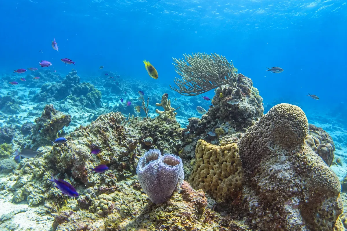
Cozumel Reefs National Park
The coral reefs off Cozumel's southwest coast, protected as a national park, with walls, caves and coral gardens known in the diving world.

 Išči
 Brazilija
 Antarktika
 Argentina
 Bolivija
 Čile
 Kolumbija
 Ekvator
 Gvajana
 Francoska Gvajana
 Falklandski otoki (Malvini)
 Paragvaj
 Peru
 Surinam
 Urugvaj
 Venezuela
 Nemčija
 Avstrija
 Belgija
 Hrvaška
 Danska
 Slovaška
 Slovenija
 Španija
 Finska
 Francija
 Grčija
 Nizozemska
 Madžarska
 Irska
 Islandija
 Italija
 Luksemburg
 Norveška
 Poljska
 Portugalska
 Združeno kraljestvo
 Češka
 Švedska
 Švica
 Turčija
 Bermudi
 Kanada
 Združene države Amerike
 GrenlandijaMehika
 Sveta Peter in Mihael
 Dominikanska republika
 JaponskaTurčija
 Južnoafriška republika
 Egipt
 Avstralija
 Fidži
 Nova Zelandija
 Papua Nova Gvineja
Quintana Roo · Mehika
Destinacija: Riviera Maya (Playa del Carmen and Cozumel).
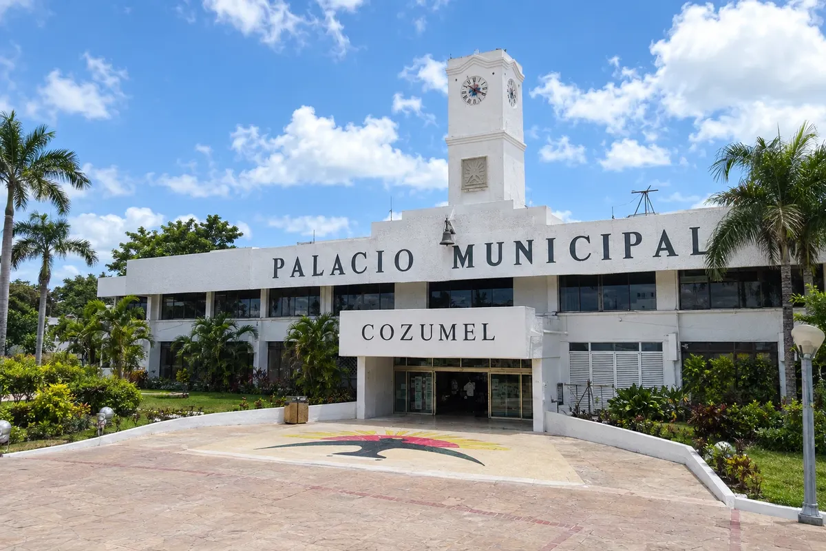
Na fotografiji: Palacio Municipal de Cozumel
Illustrative images. The pictures in this guide are illustrations based on the real place, not photographs, and may differ from it.
Mesto
Cozumel is the largest island in the Mexican Caribbean, about 20 km from Playa del Carmen. The town of San Miguel, on the west coast, has the boat pier and the waterfront. The reefs of Parque Nacional Arrecifes de Cozumel, such as Palancar and Colombia, make the island one of the world's best-known diving destinations. Inland is San Gervasio, the Maya sanctuary of the goddess Ixchel, and on the southern tip the Punta Sur park, with the Celarain lighthouse and the Colombia lagoon.
V vodniku še ni nastanitev – Cozumel.
kako do tja · koliko dni · načrt poti · vprašanja
Doživite kraj
The coral reefs off Cozumel's southwest coast, protected as a national park, with walls, caves and coral gardens known in the diving world.
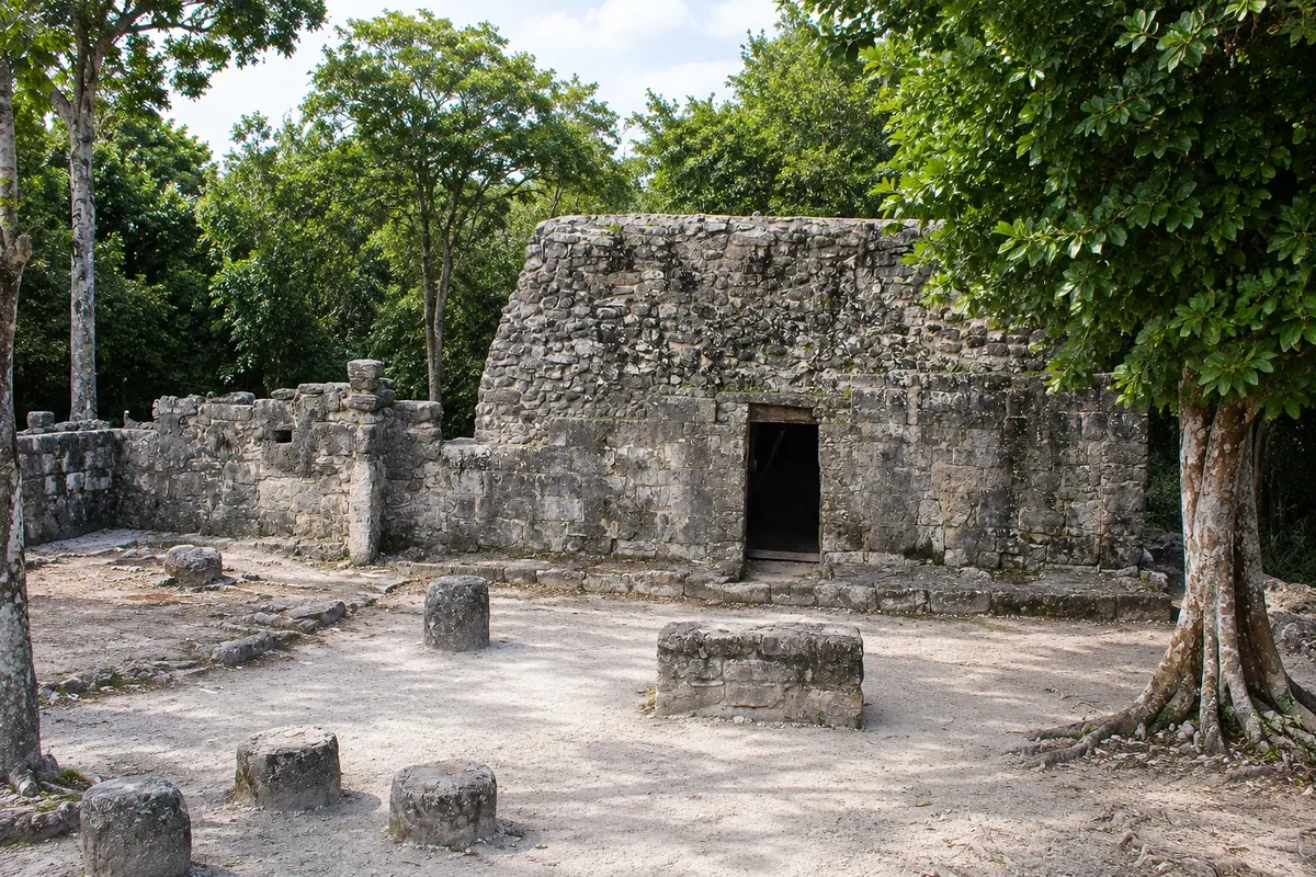
The main Maya site on Cozumel, inland on the island, associated with the cult of Ixchel, the goddess of the moon and fertility, who received female pilgrims from across the peninsula.
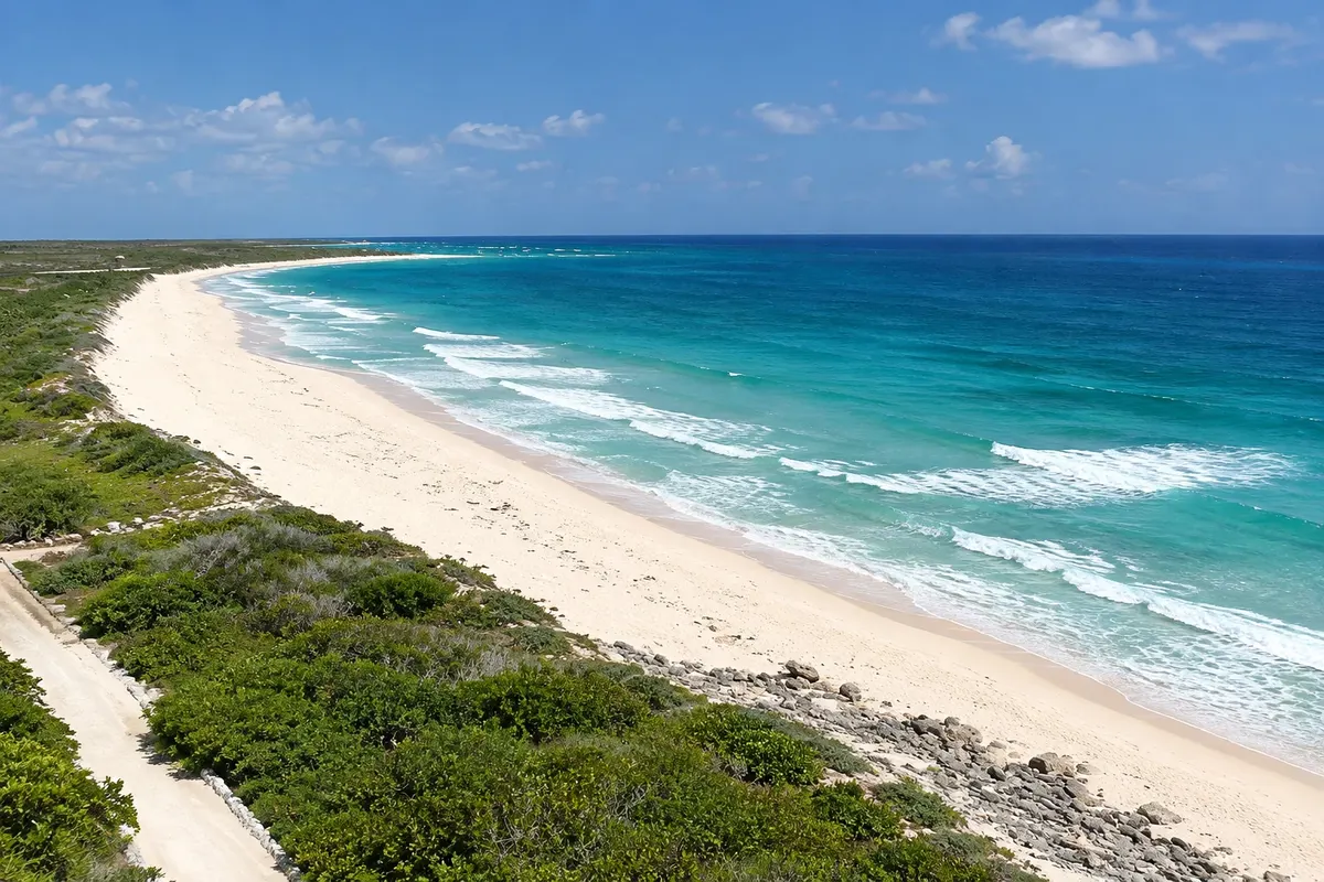
Reserve on the southern tip of Cozumel, featuring the Celarain lighthouse, the Colombia lagoon with crocodiles and birds, open-sea beaches and a small Mayan structure, El Caracol.
Pred odhodom
Cozumel – Quintana Roo Destinacija Riviera Maya (Playa del Carmen and Cozumel) približno 330 km stran (izhodišče: Chetumal)
Razdalje so približne. Pred potovanjem preverite lete in vozne rede avtobusov, vlakov ali ladij.
Boats depart from the Playa del Carmen pier several times a day and reach San Miguel in about 40 minutes. There is a car ferry from Calica, south of Playa del Carmen. Cozumel Airport (CZM) receives domestic flights and some international ones.
One day is enough for a dive or snorkel and to see the town. With two or three days you can fit in San Gervasio, Punta Sur and a drive along the east coast. Divers often stay four days or more.
The water is usually clearest from December to April, during the dry season. From May to October there is more rain. Hurricanes are more likely between August and October.
The seasons shown are the most usual ones; nature doesn't always follow the calendar.
Practical info. The road that circles the island is about 65 km long and there is no public transport to San Gervasio or Punta Sur. Cars, jeeps, motorcycles or scooters can be rented in San Miguel; taxis also cover the routes.
Predlog poti
Pot povezuje znamenitosti na tej strani. Za oglede boste imeli dovolj časa.
Leave in the morning on a dive or snorkel boat to the park's reefs on the southwest coast, such as Palancar or Colombia.
In the afternoon, drive or scooter to Punta Sur park, climb the Celarain lighthouse and see the Colombia lagoon.
Return along the east coast, with open sea and deserted beaches, stopping at the rocky viewpoints before crossing the island back to San Miguel.
Finish at the San Miguel waterfront, near the central square, with the sunset over the sea facing the mainland.
Check before you go. Opening hours and days change, and places may close for renovations, holidays or events. This itinerary is a suggestion from Cidade Turismo, not a commitment: plan yours by checking directly with each place you intend to visit.
Pred odhodom
No. Many boats run snorkel trips at shallower reefs. For the deep sites, such as the walls of Palancar, you need a diving certification or to do an introductory (try) dive with an instructor.
About 40 minutes, with several departures a day from the Playa del Carmen pier.
By rented car, jeep, motorcycle or scooter from San Miguel, via the roughly 65 km coastal road, or by taxi. There is no bus to the island interior.
Yes. The island is one of the busiest cruise ports in the Caribbean, and on ship days the center of San Miguel fills up.
Več kot vodnik


