

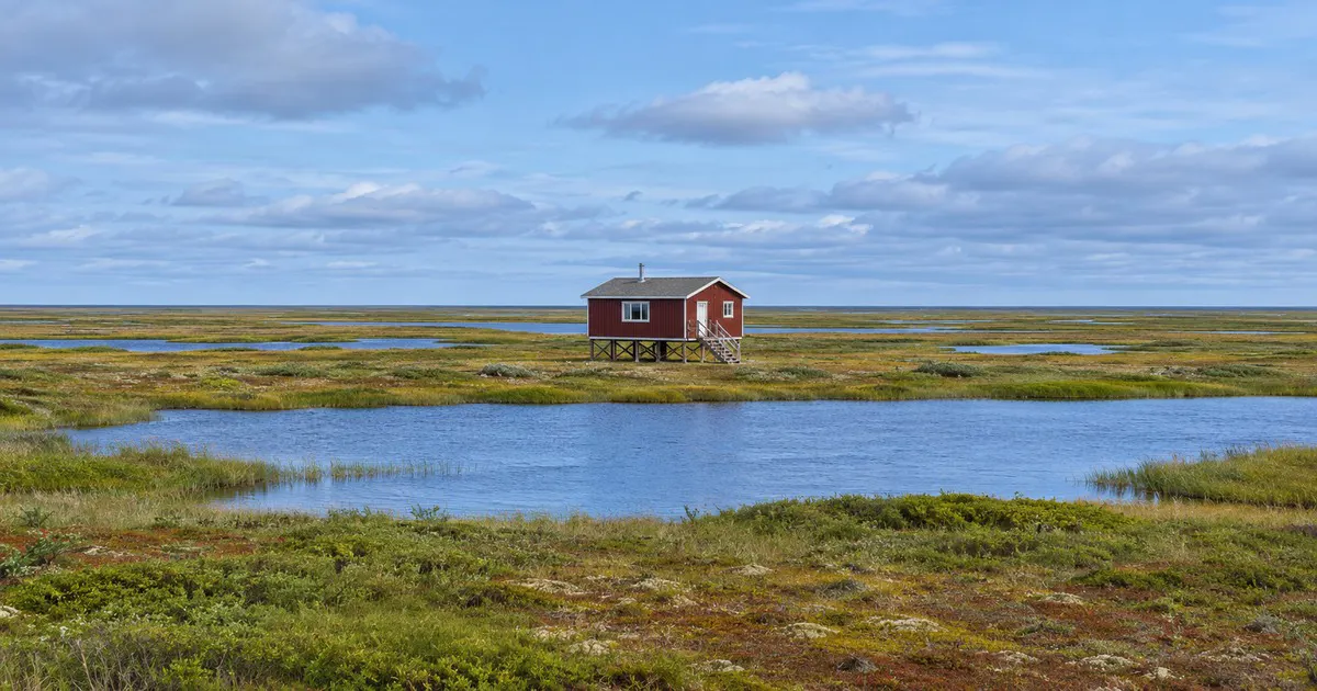
Ice cap
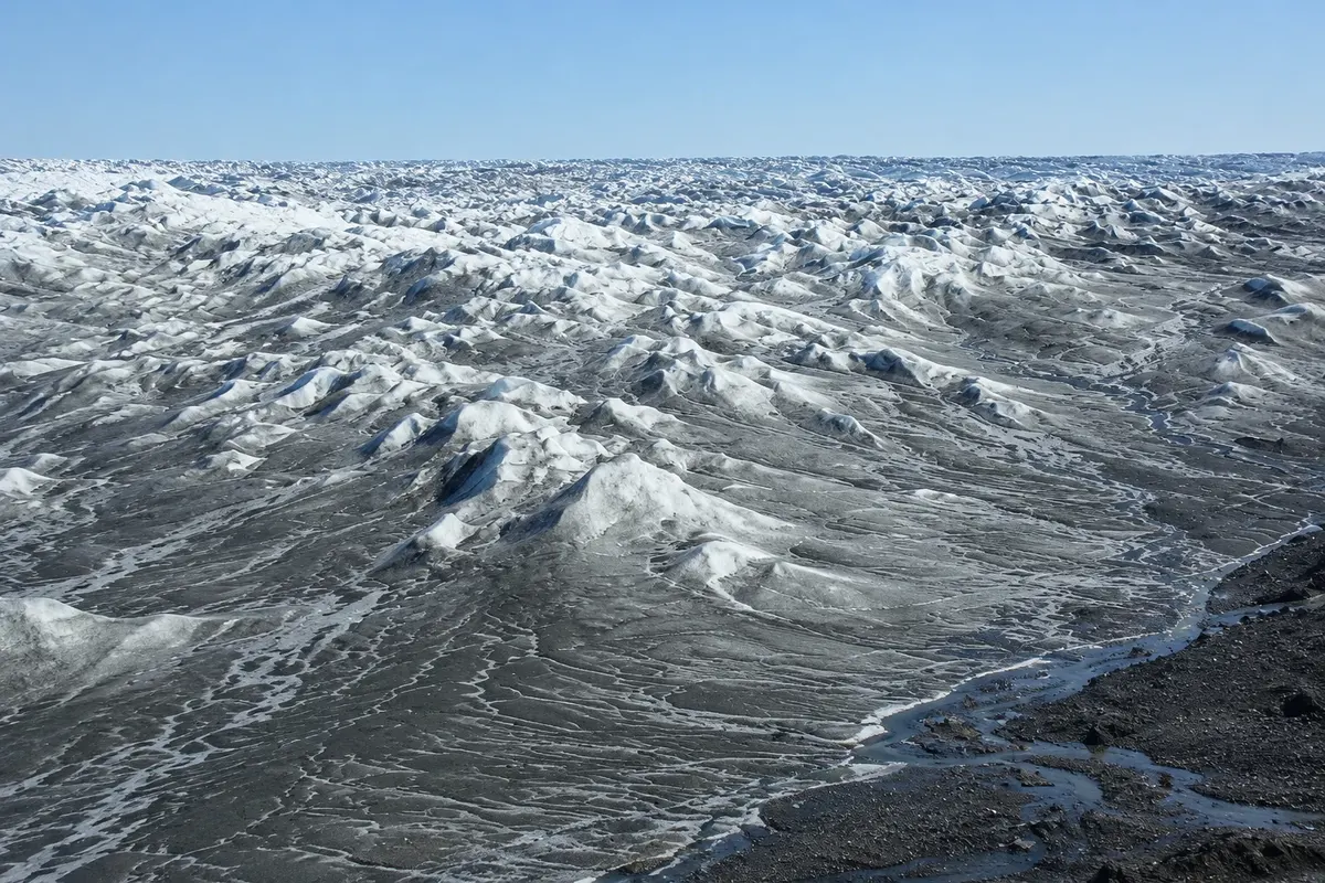
Point 660 Ice Sheet
The point at the ice-cap edge, about 35 km from Kangerlussuaq, where the dirt road from the settlement ends. From there you walk with a guide onto the ice cap.

 Išči
 Brazilija
 Antarktika
 Argentina
 Bolivija
 Čile
 Kolumbija
 Ekvator
 Gvajana
 Francoska Gvajana
 Falklandski otoki (Malvini)
 Paragvaj
 Peru
 Surinam
 Urugvaj
 Venezuela
 Nemčija
 Avstrija
 Belgija
 Hrvaška
 Danska
 Slovaška
 Slovenija
 Španija
 Finska
 Francija
 Grčija
 Nizozemska
 Madžarska
 Irska
 Islandija
 Italija
 Luksemburg
 Norveška
 Poljska
 Portugalska
 Združeno kraljestvo
 Češka
 Švedska
 Švica
 Turčija
 Bermudi
 Kanada
 Združene države AmerikeGrenlandija
 Mehika
 Sveta Peter in Mihael
 Dominikanska republika
 JaponskaTurčija
 Južnoafriška republika
 Egipt
 Avstralija
 Fidži
 Nova Zelandija
 Papua Nova Gvineja
Qeqqata · Grenlandija
Destinacija: Kangerlussuaq and the ice cap.
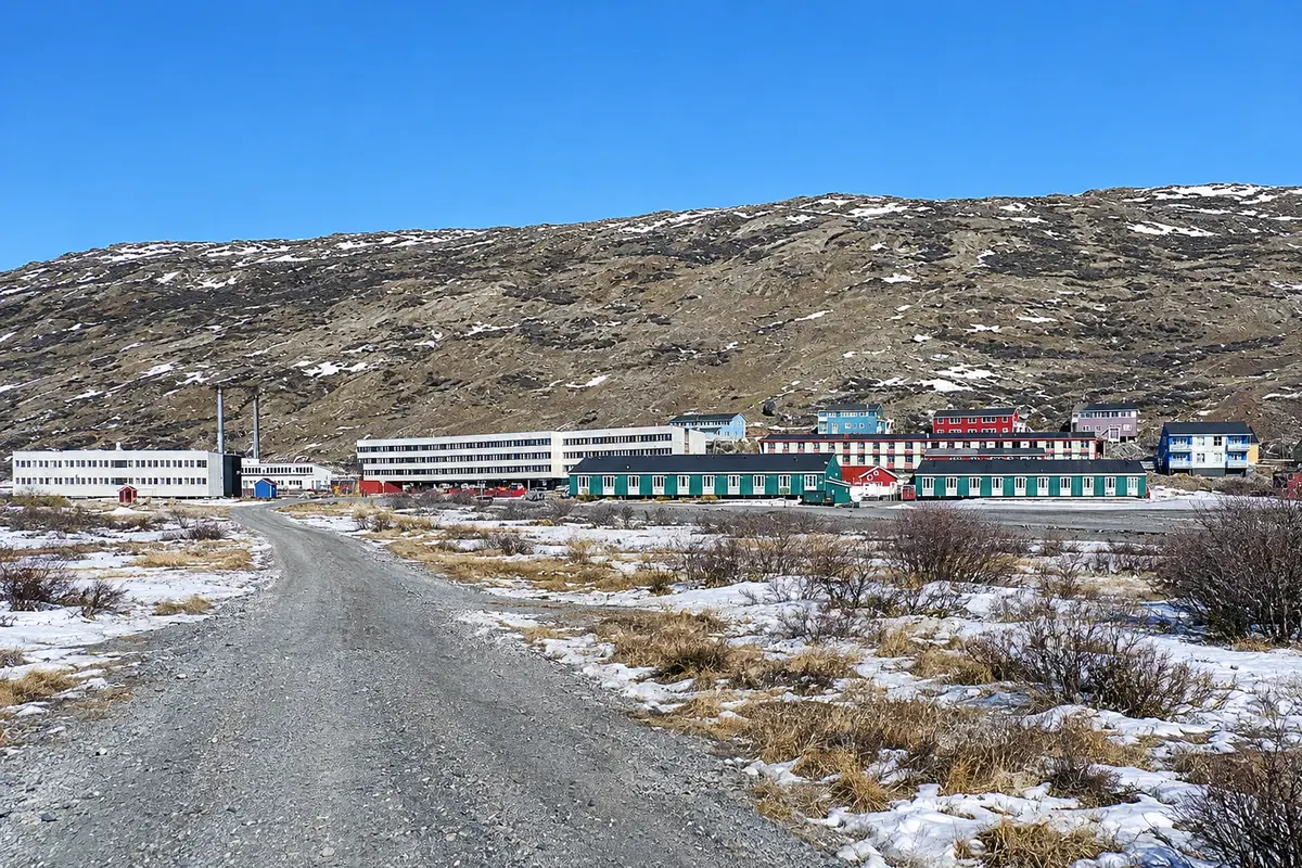
Na fotografiji: The village of Kangerlussuaq, between low buildings and tundra hills.
Illustrative images. The pictures in this guide are illustrations based on the real place, not photographs, and may differ from it.
Mesto
A settlement of a few hundred people at the head of the long Kangerlussuaq fjord, formed around a former U.S. airbase. It has the country’s driest and most stable climate and is the easiest place to reach the ice cap by road, along a dirt track to Point 660. The surrounding tundra has muskoxen and reindeer, and the Arctic Circle Trail begins here.
V vodniku še ni nastanitev – Kangerlussuaq.
kako do tja · koliko dni · načrt poti · vprašanja
Doživite kraj
The point at the ice-cap edge, about 35 km from Kangerlussuaq, where the dirt road from the settlement ends. From there you walk with a guide onto the ice cap.
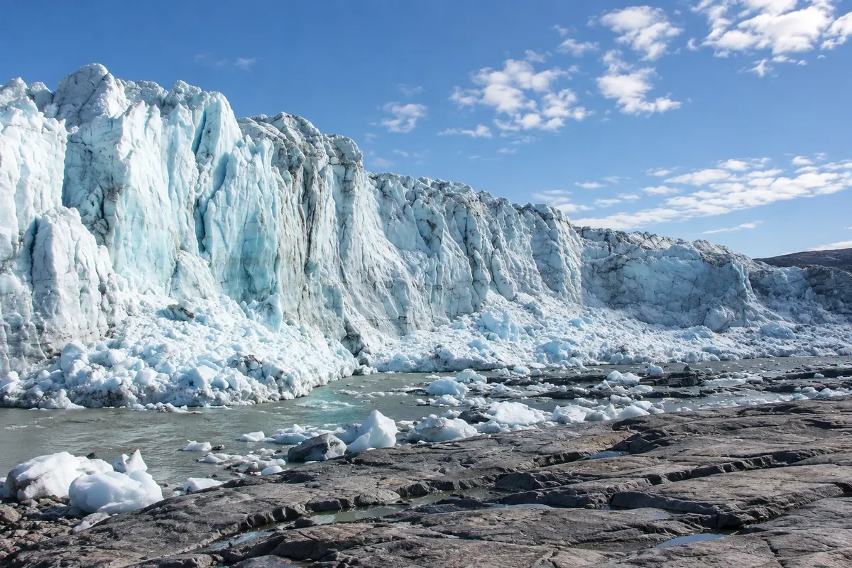
A tongue of ice that descends from the ice cap down to the tundra east of Kangerlussuaq, with a front tens of meters high. It lies along the road toward Point 660.
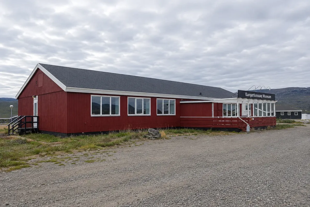
Small museum next to the airport that tells the history of the former American air base, opened in 1941, and of the settlement that grew around it.
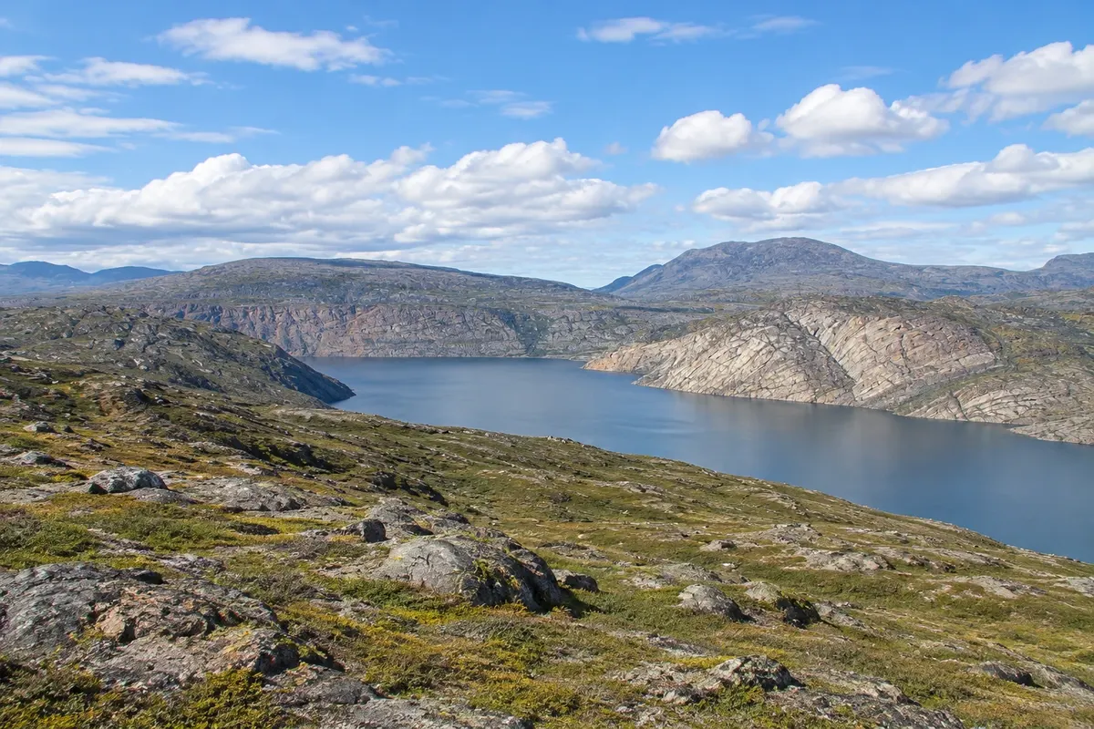
Long-distance trail between Kangerlussuaq and Sisimiut, covering more than 150 km across tundra, lakes and valleys north of the Arctic Circle, usually completed in one to two weeks.
Pred odhodom
Kangerlussuaq – Qeqqata približno 130 km stran (izhodišče: Sisimiut)
Razdalje so približne. Pred potovanjem preverite lete in vozne rede avtobusov, vlakov ali ladij.
The airport is in the settlement itself, with internal flights and, in some seasons, direct connections to Denmark. There is no road to the open sea: the open water lies more than 100 km away, at the fjord’s mouth.
One day is for the ice and glacier excursion; another for the tundra and the museum. Those arriving to hike to the coast should allow one to two weeks.
Summer opens the road to the ice and the trail season. From September to March, the dry air helps aurora visibility, and snow allows sledding and snowmobile outings.
The seasons shown are the most usual ones; nature doesn't always follow the calendar.
Not around the settlement, which is walkable. Ice excursions are operated by tour companies, using adapted vehicles.
Predlog poti
Pot povezuje znamenitosti na tej strani. Za oglede boste imeli dovolj časa.
Take the dirt-road excursion to the Russell Glacier and Point 660, with a guided walk on the ice.
Dan 1
Spend the day at the Russell Glacier and Point 660, with time for walking on the ice cap.
Dan 2
Visit the museum of the former base and walk around the village and the airport surroundings.
Go on a tundra tour in search of muskoxen and reindeer, with views over the fjord.
Check before you go. Opening hours and days change, and places may close for renovations, holidays or events. This itinerary is a suggestion from Cidade Turismo, not a commitment: plan yours by checking directly with each place you intend to visit.
Pred odhodom
Two days are enough for the ice cap, the Russell Glacier and a tundra trip. Those doing the Arctic Circle Trail need one to two weeks.
Yes, there are flights to Nuuk, Ilulissat, Sisimiut and other towns. Confirm schedules before buying tickets.
Because it is inland, far from the sea and near the ice cap, the settlement gets little precipitation, many clear days, warmer summers and colder winters than the coast.
On the dark nights from September to March, yes, when the sky is clear; the dry climate helps. Their appearance depends on solar activity.
Več kot vodnik


