

Jed · Hilo
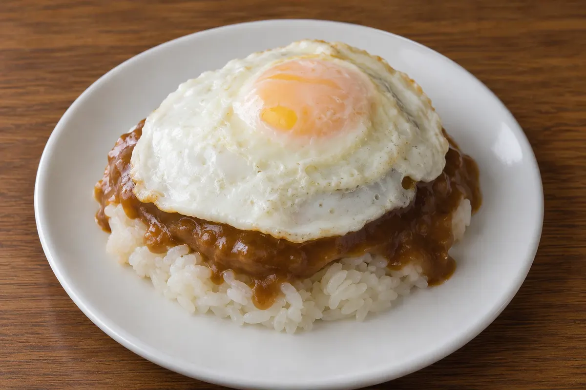
Loco moco
White rice topped with a hamburger, a fried egg and a dark meat gravy. Created in Hilo, on the Island of Hawaiʻi, in 1949, it became one of the islands’ most popular dishes.

 Išči
 Brazilija
 Antarktika
 Argentina
 Bolivija
 Čile
 Kolumbija
 Ekvator
 Gvajana
 Francoska Gvajana
 Falklandski otoki (Malvini)
 Paragvaj
 Peru
 Surinam
 Urugvaj
 Venezuela
 Nemčija
 Avstrija
 Belgija
 Hrvaška
 Danska
 Slovaška
 Slovenija
 Španija
 Finska
 Francija
 Grčija
 Nizozemska
 Madžarska
 Irska
 Islandija
 Italija
 Luksemburg
 Norveška
 Poljska
 Portugalska
 Združeno kraljestvo
 Češka
 Švedska
 Švica
 Turčija
 Bermudi
 KanadaZdružene države Amerike
 Grenlandija
 Mehika
 Sveta Peter in Mihael
 Dominikanska republika
 JaponskaTurčija
 Južnoafriška republika
 Egipt
 Avstralija
 Fidži
 Nova Zelandija
 Papua Nova Gvineja
Havaí · Združene države Amerike
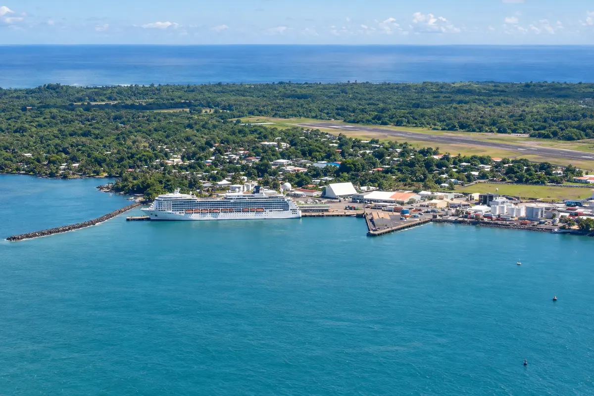
Destinacija: Hawaii Island (Big Island).
Na fotografiji: Hilo’s harbor
Illustrative images. The pictures in this guide are illustrations based on the real place, not photographs, and may differ from it.
Mesto
Largest town and county seat of the Island of Hawai‘i, on a bay of the east coast, the rainiest part of the island. It has a downtown of old wooden buildings, a farmers’ market, Japanese gardens on the waterfront and a museum about the tsunamis that hit the town. It is a base for Rainbow and ʻAkaka falls, for Mauna Kea and for Hawai‘i Volcanoes National Park, 45 km away.
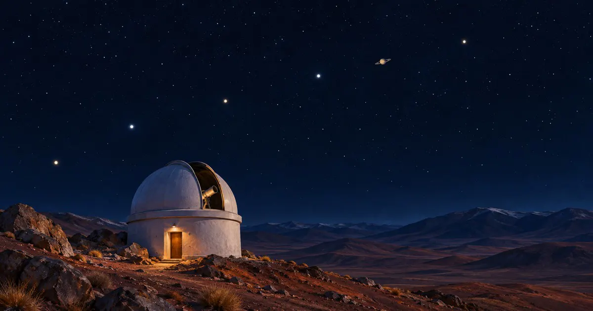
Ali boste pojav videli, je odvisno od vremena.
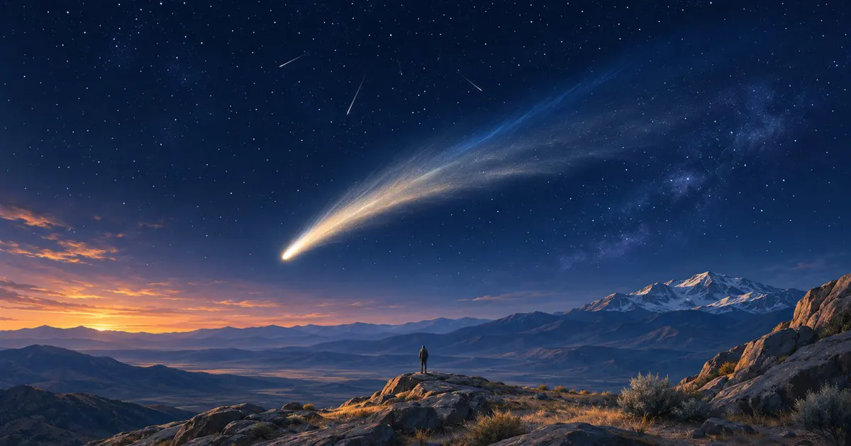
Za opazovanje potrebujete jasno nebo brez polne lune. Vidnost ni zagotovljena.
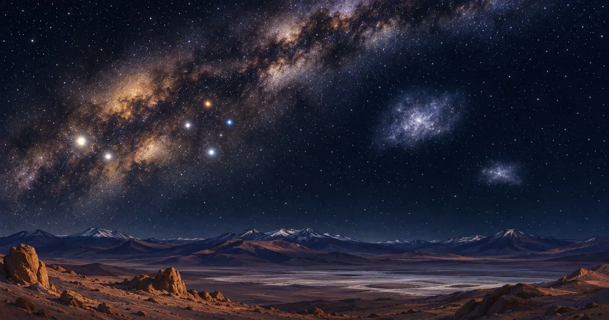
Za opazovanje potrebujete jasno nebo brez močne mesečine. Vidnost ni zagotovljena.
V vodniku še ni nastanitev – Hilo.
kako do tja · koliko dni · načrt poti · vprašanja
Lokalni okusi – of Združene države Amerike
Doživite kraj
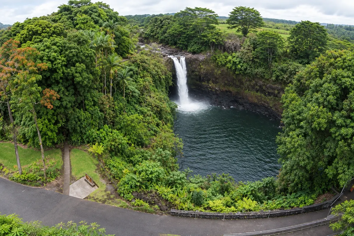
A drop of about 24 meters on the Wailuku River, a few minutes from downtown Hilo, over a lava cave. On sunny mornings the water mist often forms rainbows, which gave the place its name.
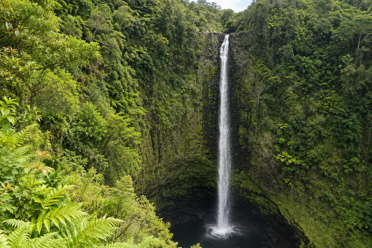
A waterfall of about 135 meters that drops into a forested gorge north of Hilo. A paved loop trail passes bamboo, heliconias and orchids and by another fall, Kahūnā.
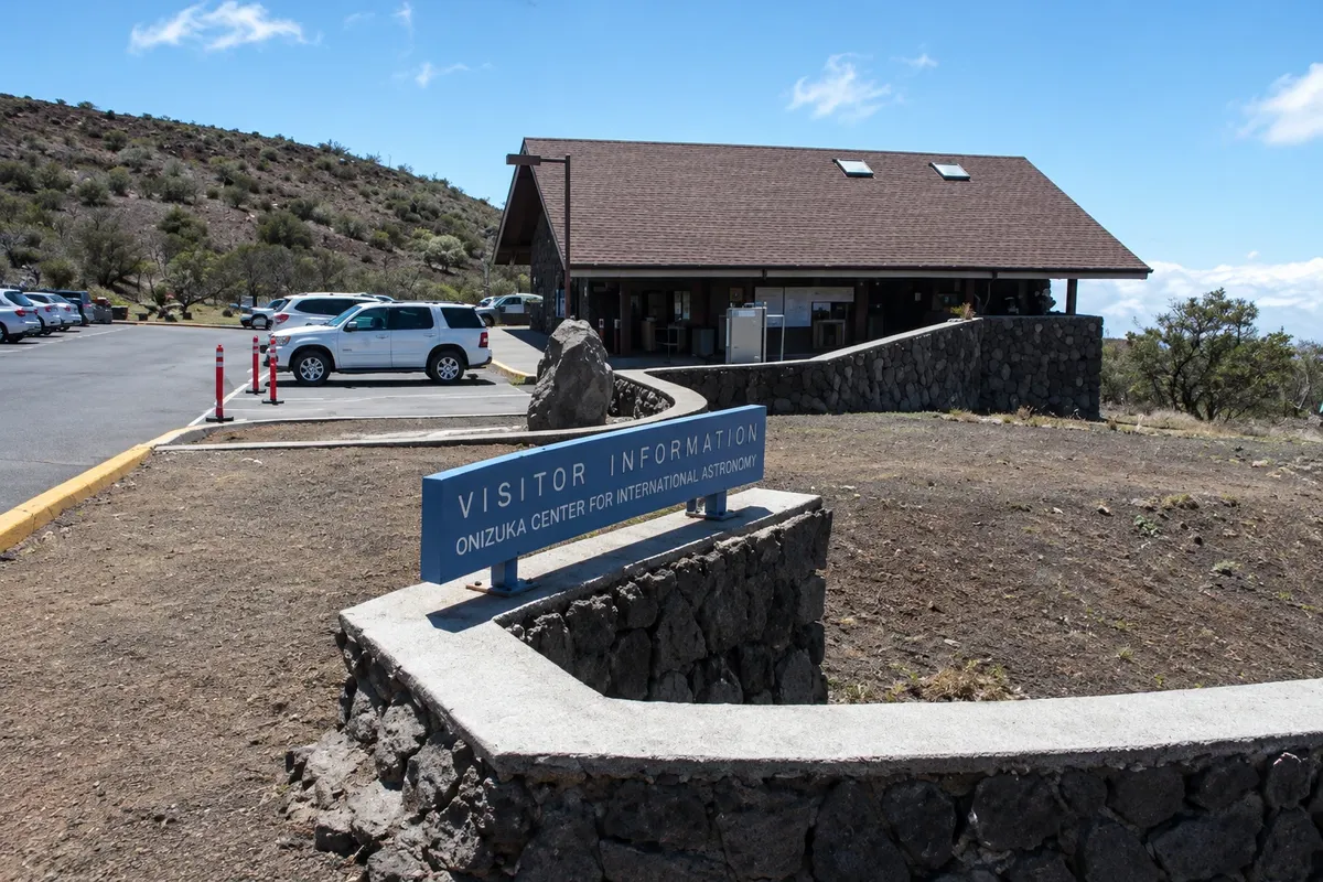
The highest point in Hawaiʻi, at 4,207 meters, a sacred mountain for Hawaiians and home to major observatories. The visitor center at 2,800 meters is reachable by regular cars; above it the road requires four-wheel drive.
Pred odhodom
Hilo – Hawaii Destinacija Hawaii Island (Big Island) približno 330 km stran (izhodišče: Honolulu)
Razdalje so približne. Pred potovanjem preverite lete in vozne rede avtobusov, vlakov ali ladij.
Hilo International Airport (ITO) is on the eastern edge of the town, with flights mainly from Honolulu. From Kona, the crossing via the Saddle Road takes about an hour and a half; via the north coast it’s more than two hours.
Two days for downtown, the waterfalls and Mauna Kea. Many visitors also use Hilo as a base for Hawai‘i Volcanoes National Park.
Year-round; it rains on many days, usually in the afternoon and evening, which keeps the waterfalls full and the landscape green. Temperatures range between 20 °C and 28 °C. From April to October it usually rains a little less.
The seasons shown are the most usual ones; nature doesn't always follow the calendar.
Yes, for the waterfalls outside downtown, Mauna Kea and Hawai‘i Volcanoes National Park. Island buses run infrequently. Drive on the right.
Predlog poti
Pot povezuje znamenitosti na tej strani. Za oglede boste imeli dovolj časa.
See Rainbow Falls in the morning sun and continue north to ʻAkaka Falls.
Return to downtown, pass by the farmers’ market and walk through the waterfront gardens.
Dan 1
Rainbow Falls and ʻAkaka Falls in the morning, downtown Hilo in the afternoon.
Dan 2
Drive up to the Mauna Kea visitor center at late afternoon and stay to stargaze; the summit requires a four-wheel-drive vehicle or an organized tour.
Check before you go. Opening hours and days change, and places may close for renovations, holidays or events. This itinerary is a suggestion from Cidade Turismo, not a commitment: plan yours by checking directly with each place you intend to visit.
Pred odhodom
Yes. Hilo is one of the rainiest towns in the United States, with rain on many days, usually in the afternoon and evening.
Volcano is at the park entrance; Hilo, 45 km away, has more services and is close to the waterfalls and Mauna Kea.
Rainbow and ʻAkaka falls, the farmers’ market and the waterfront gardens.
The town was hit by tsunamis in 1946 and 1960, which destroyed part of the waterfront. The museum tells that story and explains the warning systems.
Več kot vodnik


