Baños and the Avenue of the Volcanoes

Tungurahua · Cotopaxi · Ekvator

Baños and the Avenue of the Volcanoes

The Andean corridor south of Quito: Cotopaxi and the emerald crater of Quilotoa near Latacunga and, descending toward the Amazônia, the hot springs, waterfalls and Baños' Pailón del Diablo.

Highlands (Andes)

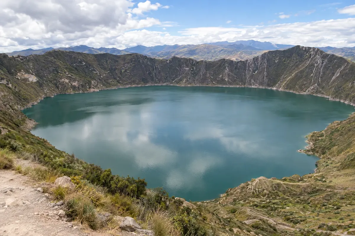
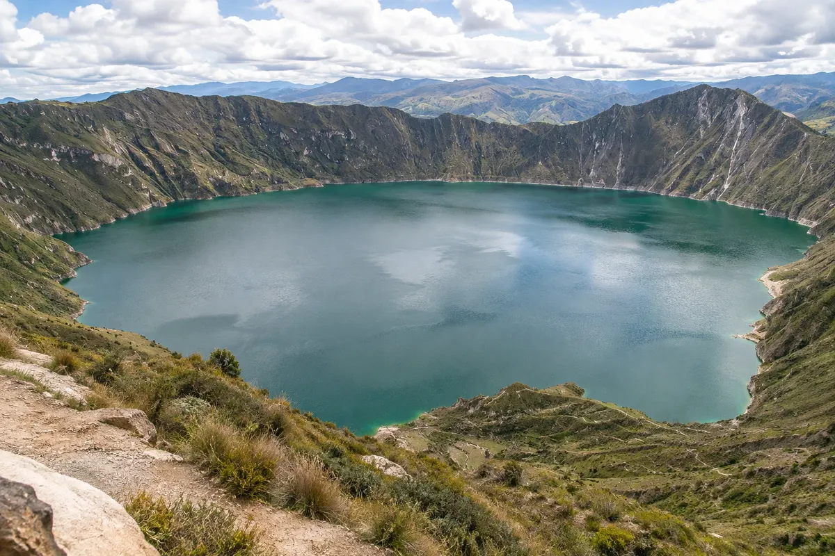
Na fotografiji: Laguna Quilotoa

Illustrative images. The pictures in this guide are illustrations based on the real place, not photographs, and may differ from it.

Na voljo v trgovini Google Play Pošljite svoje fotografije

Spoznajte kraj

Pokrajina, ki jo doživite
v svojem ritmu.

South of Quito, the Pan-American Highway runs through a valley between two ranges of volcanoes, which the naturalist Alexander von Humboldt called the Avenida dos Vulcões in the early 19th century. Peaks include Cotopaxi, Illiniza, Tungurahua and, farther south, Chimborazo, several with snow at their summits. Cities in this corridor, such as Latacunga and Ambato, sit between 2,500 and 2,800 meters.

Latacunga, capital of Cotopaxi province, at about 2,800 meters, is the base for Cotopaxi National Park, featuring the 5,897-meter volcano, the lagoon of Limpiopungo and the páramo, and for Laguna Quilotoa, a water-filled crater with emerald-green water high on the western range, surrounded by kichwa communities. The town has a colonial center of volcanic stone and the Mama Negra festival.

Baños de Agua Santa lies lower, at about 1,800 meters, in the Pastaza River valley, at the foot of Tungurahua, where the Andes begin to descend toward the Amazônia. It’s a town of volcanic hot springs, pilgrimage to the Virgem do Agua Santa and adventure sports. The road to Puyo, the Ruta de las Cascadas, passes dozens of waterfalls down to the Pailón del Diablo, and high on the slope is the Casa del Árbol, with a swing over the valley.

The region’s volcanoes go through active phases: check before you go whether the park and trails are open. Many travelers feel the altitude in the first days, especially at Cotopaxi and Quilotoa: take it easy.

This destination brings together 3 cities: Baños de Agua Santa, Latacunga, Ambato.

Delite: WhatsApp
Delite svoja popotniška doživetja s fotografijami Pošljite fotografije vsakega kraja, ki ste ga obiskali. Največje število fotografij na kraj: 5.

Ena destinacija, več poti

Mesta na tej poti

Začnite v enem mestu ali v načrt poti vključite več mest.

Baños and the Avenue of the Volcanoes – lega
AmbatoBaños de Agua SantaLatacunga

Obrisi: Natural Earth (javna domena). Priredba: Cidade Turismo.

Kako do tja:Baños and the Avenue of the Volcanoes

✈ Aeropuerto Internacional Mariscal Sucre (UIO), kraj: Quito· 180 km do cilja (Baños de Agua Santa)

Check before booking. Mariscal Sucre Airport in Quito is the most used; Latacunga is about 90 km along the Pan-American, and Baños about 180 km, three to four hours by bus from the Quitumbe terminal. Latacunga also has a small airport with few flights.

Predlagana točka prihoda:Baños de Agua Santa

Doživite kraj

Kaj početi – Baños and the Avenue of the Volcanoes

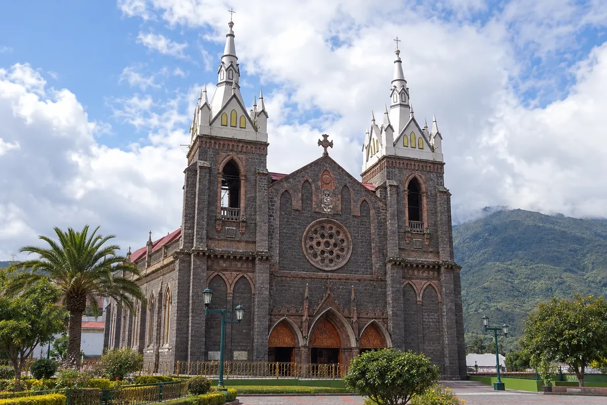
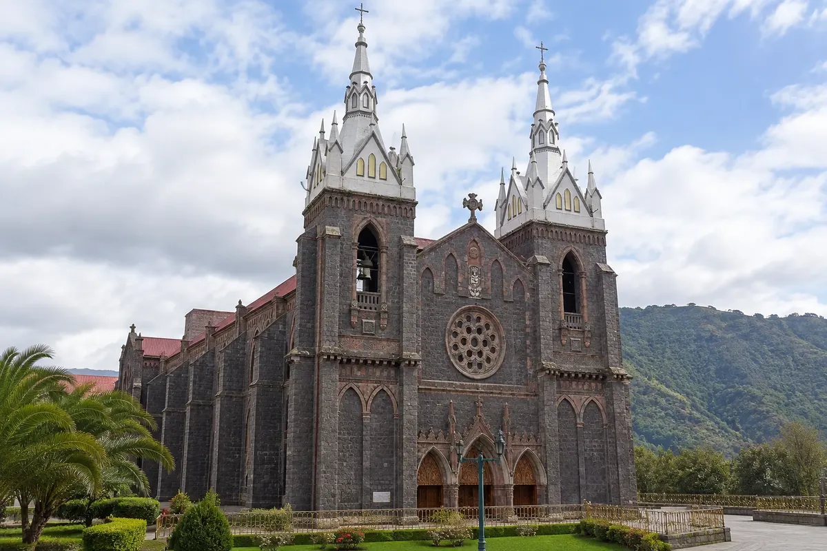
Basilica of Our Lady of the Holy Water (Baños Basilica)
Baños de Agua Santa · Tungurahua · Cerkev

Basilica of Our Lady of the Holy Water (Baños Basilica)

The dark stone basilica in the center of Baños, a pilgrimage center to the Virgin of Agua Santa, with the interior walls covered in paintings that tell of miracles attributed to her.

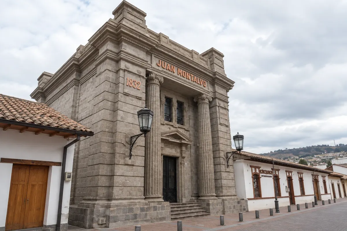
House and Mausoleum of Montalvo
Ambato · Tungurahua · Muzej

House and Mausoleum of Montalvo

House where the writer Juan Montalvo was born, on the corner of Juan Montalvo Park. It gathers objects, manuscripts and portraits and houses the mausoleum where the writer’s remains rest.

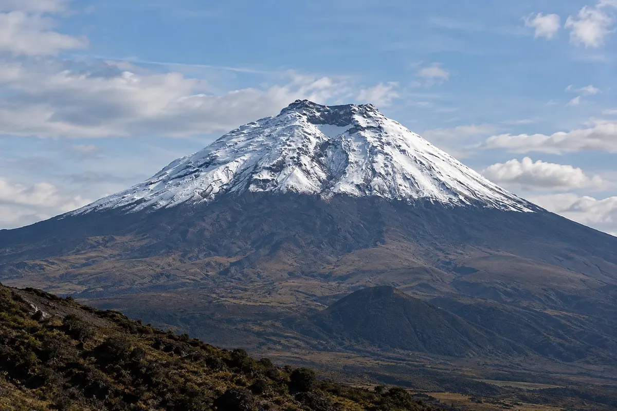
Cotopaxi National Park
Latacunga · Cotopaxi · Park

Cotopaxi National Park

The park of the Cotopaxi volcano, at 5,897 meters, with its snow-covered cone, the páramo, the Limpiopungo lagoon and wild horses. You can drive up to about 4,600 meters.

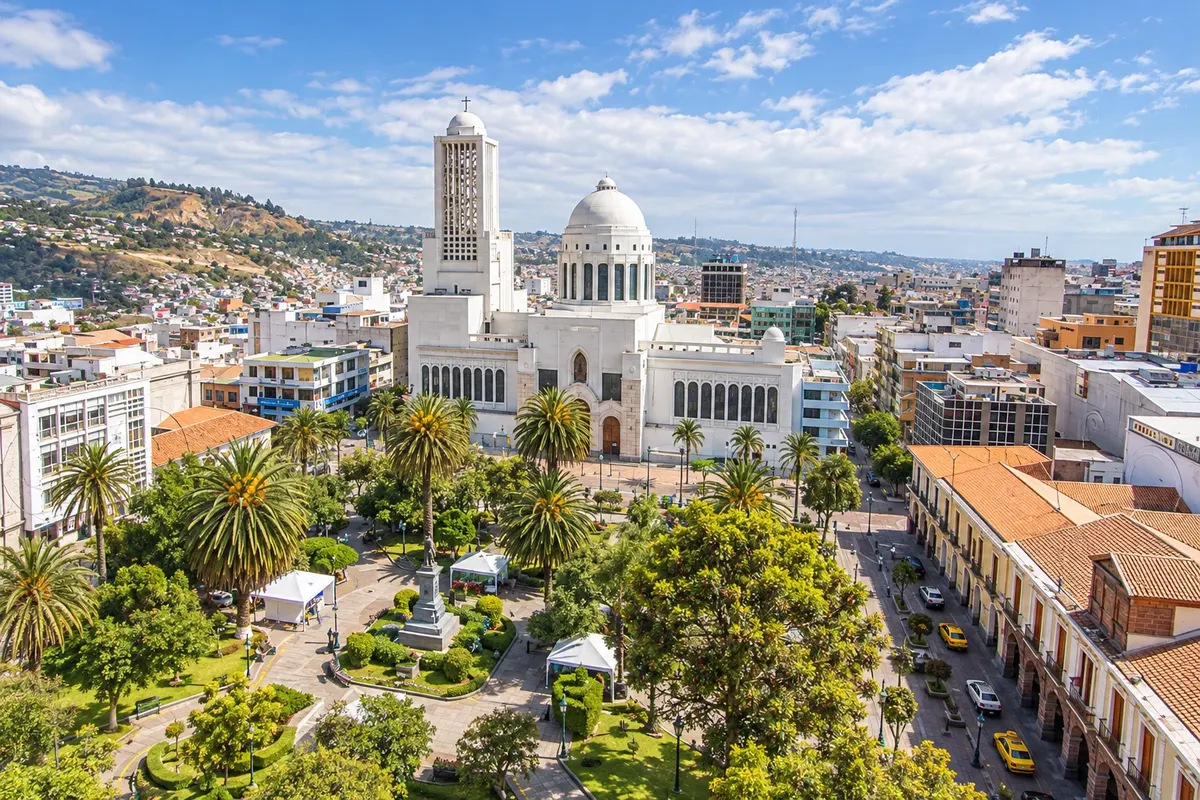
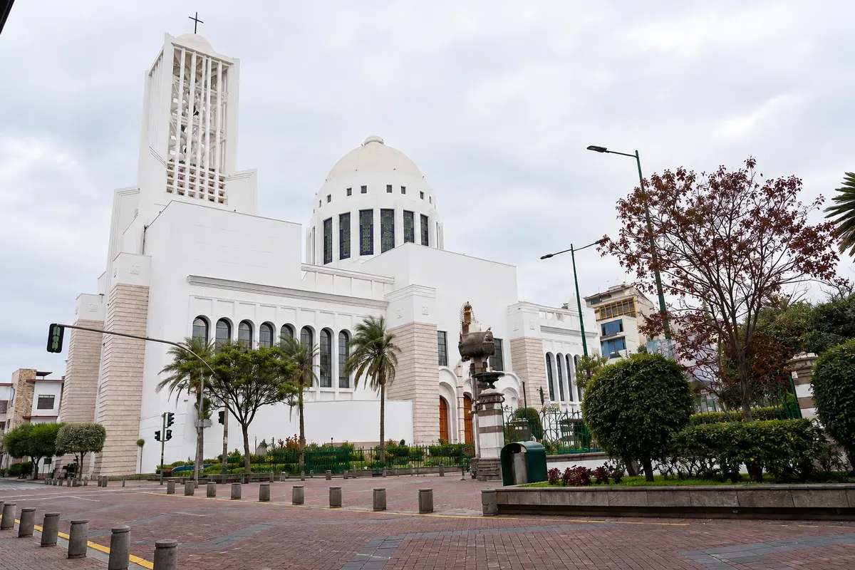
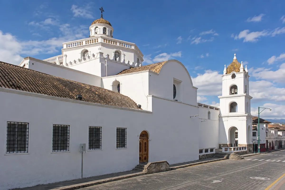
Cathedral of the Elevation
Ambato · Tungurahua · Cerkev

Cathedral of the Elevation

Modern cathedral of Ambato, inaugurated in 1954 facing Juan Montalvo Park, on the site of the church destroyed by the 1949 earthquake. It has been a minor basilica since 1961 and is the seat of the diocese.

Baños and the Avenue of the Volcanoes – prikaži dodatne kraje (8)
Quilotoa Lagoon
Latacunga · Cotopaxi · Lagoon

Quilotoa Lagoon

Volcanic crater about 3 km across with an emerald-green lake at the bottom, at about 3,900 meters in the western range. Trail down to the water and walk along the rim.

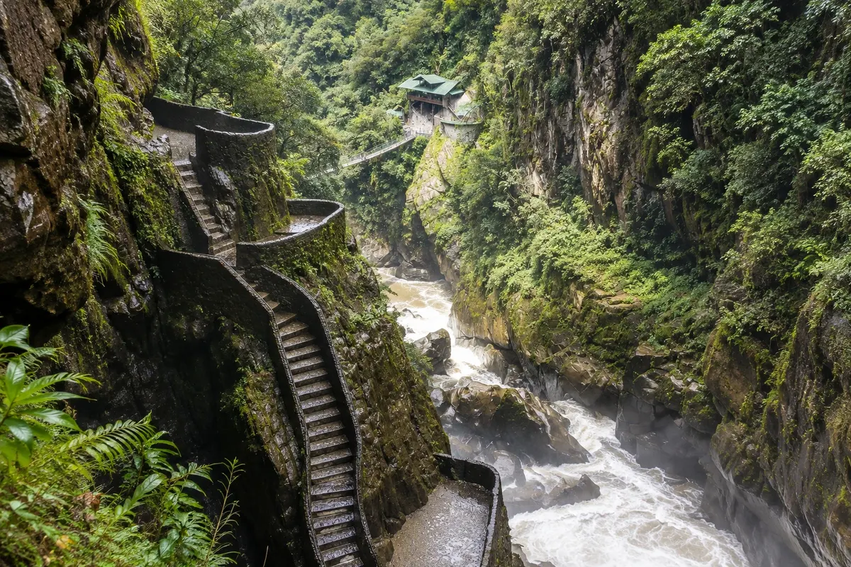
Pailón del Diablo (Devil's Cauldron)
Baños de Agua Santa · Tungurahua · Slap

Pailón del Diablo (Devil's Cauldron)

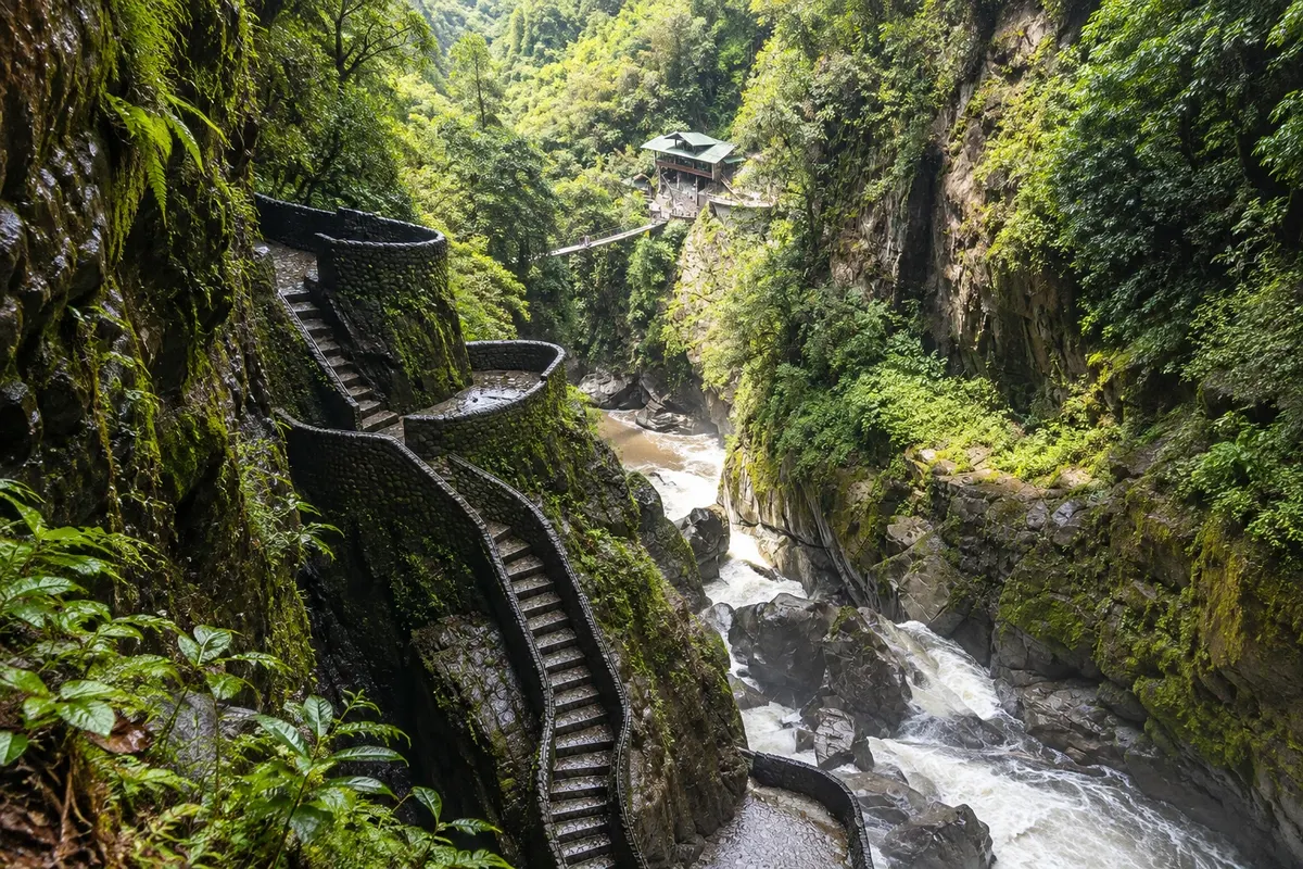
Waterfall of about 80 meters on the Río Verde, which plunges down a narrow cliff before reaching the Pastaza. Walkways, stairs and a suspension bridge bring you close to the fall, in the middle of the forest.

Historic Center of Latacunga
Latacunga · Cotopaxi · Trg

Historic Center of Latacunga

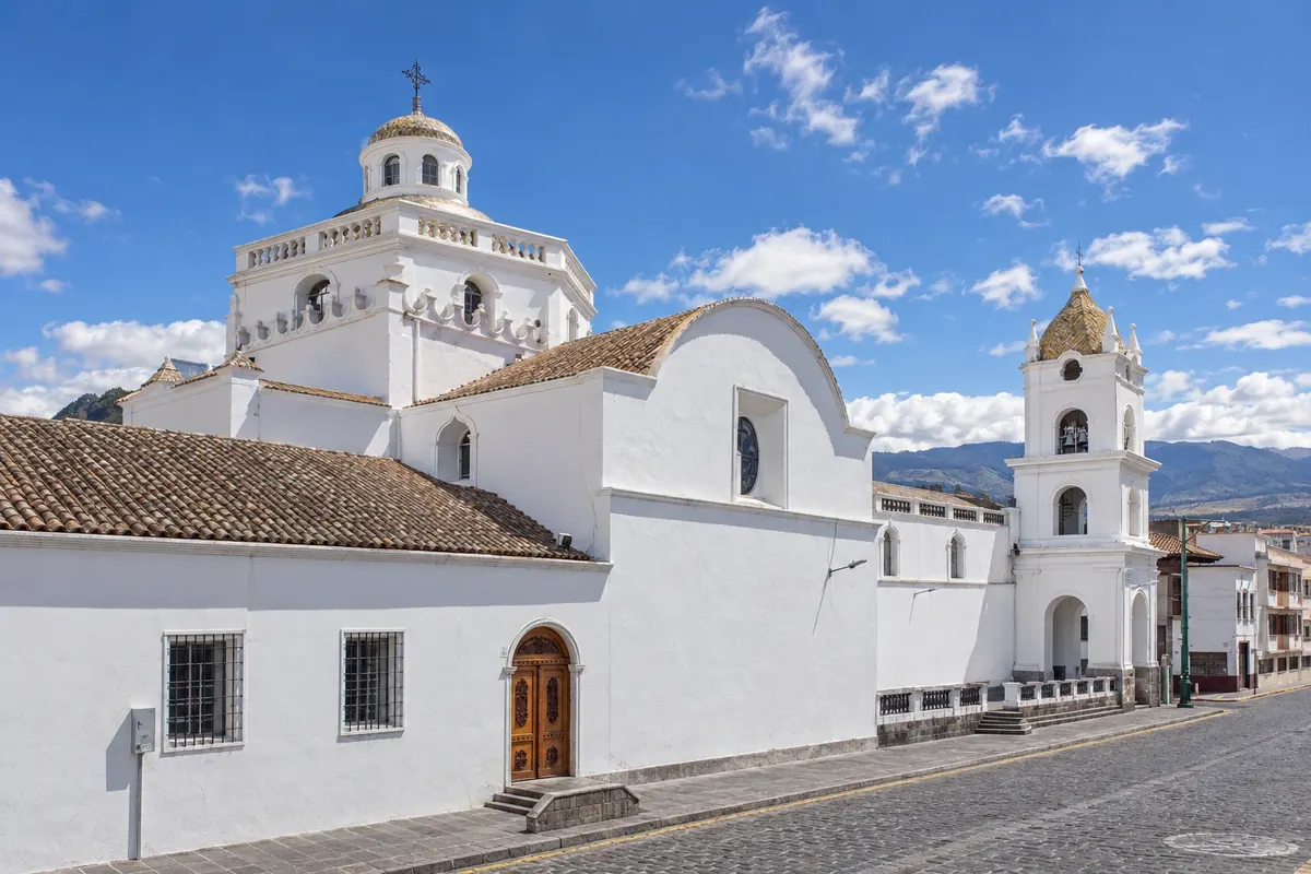
The colonial center of Latacunga, built with volcanic pumice stone, around Parque Vicente León, with the cathedral, the town hall and old houses.

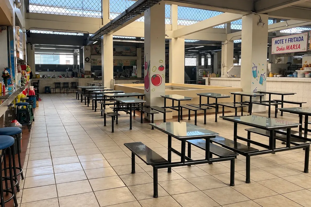
Central Market of Ambato
Ambato · Tungurahua · Tržnica

Central Market of Ambato

Market in central Ambato with stalls selling regional fruits, juices and typical food. It is the traditional place to eat llapingachos, served by families that have kept the dish for generations.

Baños–Puyo Waterfall Route
Baños de Agua Santa · Tungurahua · Ride

Baños–Puyo Waterfall Route

The road from Baños to Río Verde, in the Pastaza river valley, with waterfalls one after another like the Agoyán and the Manto de la Novia, tarabitas and tunnels. It can be done by bicycle, chiva or car.

Baños de Agua Santa · Tungurahua · Razgledišče

The Treehouse and Swing of the End of the World

Viewpoint on the hillside above Baños, at about 2,600 meters, with a treehouse and swings over the valley, facing the Tungurahua volcano.

Atocha-La Liria Botanical Garden
Ambato · Tungurahua · Botanični vrt

Atocha-La Liria Botanical Garden

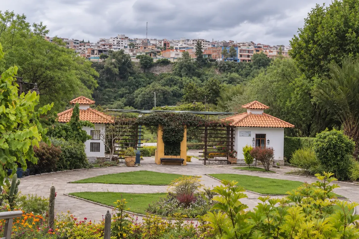
Botanical garden of about 14 hectares on the banks of the Ambato River, in the Atocha neighborhood, with the Juan León Mera estate—author of the national anthem's lyrics—and the Martínez-Holguín house-museum.

Baños de Agua Santa · Tungurahua · Zdravilišče

Thermal Baths of the Virgin (Baños Hot Springs)

The volcanic thermal pools in downtown Baños, at the foot of a waterfall, which gave the city its name. Hot, brown mineral-rich water, with cold pools next to them.

Pred odhodom

Praktične informacije

Z nekaj načrtovanja boste imeli več časa za uživanje na poti.

Kdaj se odpraviti

Temperature varies little through the year: in the highlands, mild days and cold nights; in Baños, lower down, the climate is milder and more humid. From June to September the sky is usually clearer for viewing Cotopaxi; from October to May it rains more often, generally in the afternoon. In September and November Latacunga celebrates the Mama Negra.

The seasons shown are the most usual ones; nature doesn't always follow the calendar.

Koliko dni ostati

Three to four days: one or two in Latacunga for Cotopaxi and Quilotoa, and two in Baños for the hot springs, the Ruta de las Cascadas, the Pailón del Diablo and the Casa del Árbol. With more time, the Quilotoa Loop trek takes two to three days.

V katerem mestu prenočiti

In Latacunga, simple hotels in the historic center; on the outskirts of Cotopaxi, old haciendas and lodges in the páramo with volcano views. At Quilotoa, community guesthouses on the crater rim. In Baños, hotels and hostels in the center near the Basílica and the hot springs, and spa hotels on the hillsides.

Spoštujte kraj

Odnesite svoje odpadke, upoštevajte oznake in podprite lokalne ponudnike. V naravi upoštevajte navodila za obiskovalce.

Odgovori na vaša vprašanja

Pogosta vprašanja – Baños and the Avenue of the Volcanoes

Is Cotopaxi open to visitors?

The park is usually open, but the volcano goes through active phases and some trails and sectors may be closed. Check before you go whether the park and trails are open.

Can you do Cotopaxi as a day trip from Quito?

Yes — with a tour or a driver: it’s about two hours to the park entrance. Staying in Latacunga or at a hacienda lets you arrive early, when the sky is clearer.

How to get from Latacunga to Baños?

By bus, with a change in Ambato, in about two hours, or by car.

What are the altitudes of Quilotoa and Cotopaxi?

The rim of Quilotoa is at about 3,900 meters; Cotopaxi’s parking area is near 4,600 meters. Many travelers feel the altitude: take it easy and, if in doubt, consult your doctor before traveling.

Do you need a car?

It’s not mandatory: buses link the towns, and tours and pickup trucks take visitors to Cotopaxi, Quilotoa and the waterfalls. A car helps if you want to combine several places in one day.

Odkrijte druge destinacije Iskanje po zvezni državi in mestu

Več kot vodnik