

 Antarktika
 Argentina
 Bolivija
 Čile
 Kolumbija
 Ekvator
 Gvajana
 Francoska Gvajana
 Falklandski otoki (Malvini)
 Paragvaj
 Peru
 Surinam
 Urugvaj
 Venezuela
 Nemčija
 Avstrija
 Belgija
 Hrvaška
 Danska
 Slovaška
 Slovenija
 Španija
 Finska
 Francija
 Grčija
 Nizozemska
 Madžarska
 Irska
 Islandija
 Italija
 Luksemburg
 Norveška
 Poljska
 Portugalska
 Združeno kraljestvo
 Češka
 Švedska
 Švica
 Turčija
 Bermudi
 Kanada
 Združene države Amerike
 Grenlandija
 Mehika
 Sveta Peter in Mihael
 Dominikanska republika
 Japonska
 Južnoafriška republika
 Egipt
 Avstralija
 Fidži
 Nova Zelandija
 Papua Nova Gvineja
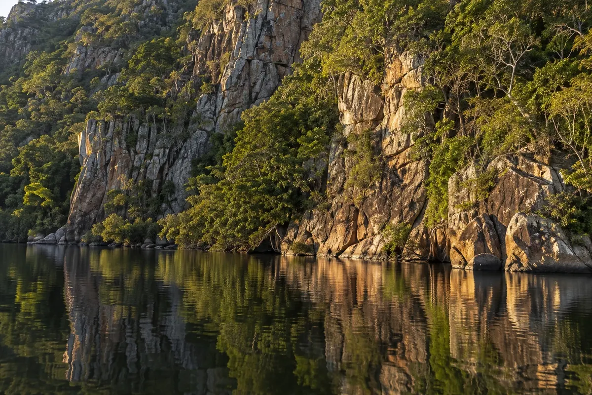
mountain range / viewpoint · Corumbá, MS
Serra do Amolar
A chain of mountains that breaks the Pantanal plain on the border with Bolivia, reached by boat along the Paraguay River. The view from the top reveals the whole Pantanal stretching to the horizon.
Illustrative images. The pictures in this guide are illustrations based on the real place, not photographs, and may differ from it.


Pogled na kraj
Serra do Amolar v slikah
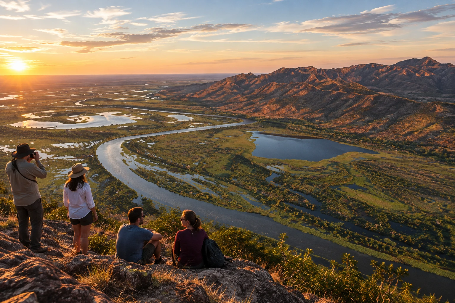
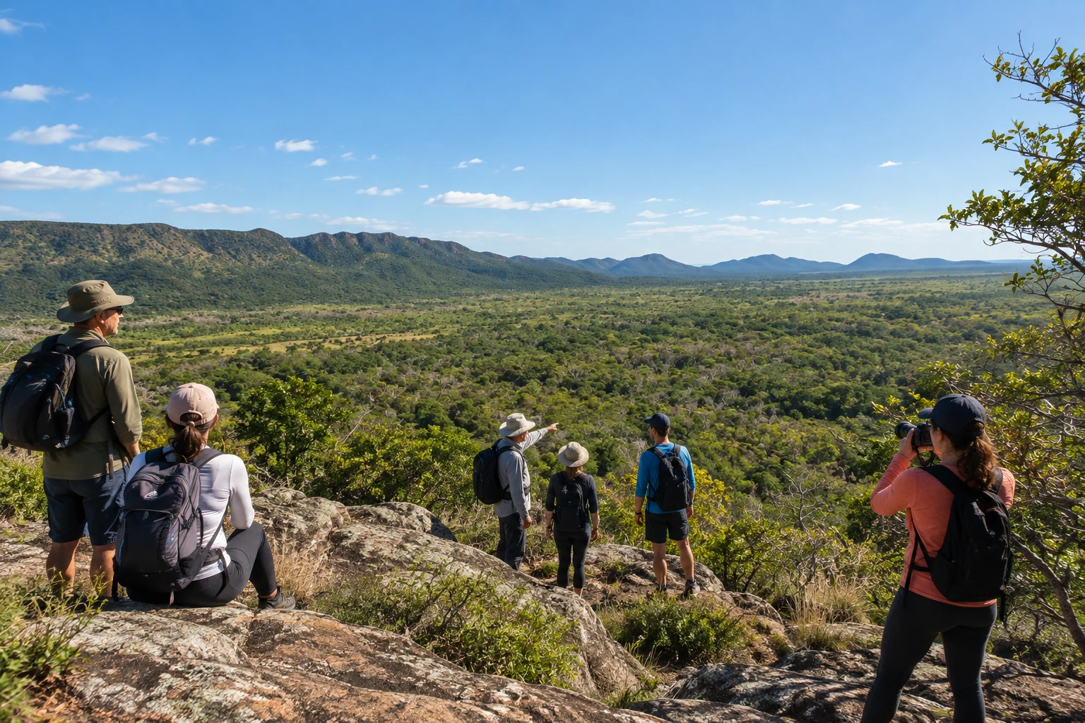
These pictures are illustrations based on the real place, not photographs. They may differ from the place.
Kliknite fotografijo za povečavo.



Spoznajte
O znamenitosti Serra do Amolar
The Serra do Amolar is a group of hills rising from the middle of the Pantanal plain, on the border between Brazil and Bolivia, in the municipality of Corumbá. About 80 kilometers long, it is the only mountain range inside the Pantanal and holds the highest points of the biome. On one side runs the Paraguay River; on the other, large lakes such as Gaíva open onto Bolivian territory.
The region is one of the best-preserved areas of the Pantanal. Private reserves, public lands and the Parque Nacional do Pantanal Mato-Grossense form the Serra do Amolar Protection and Conservation Network. The Instituto Homem Pantaneiro, founded in 2002, runs research bases in the range and organizes tourist visits.
Access is by river only. Itineraries depart from Corumbá's Porto Geral and travel up the Paraguay River for several hours, usually on trips of a few days with lodging on the boat or at the institute's bases. Along the way and in the hills you see caimans, birds, monkeys and, with luck, jaguars and giant otters.
The trails lead to viewpoints where you see the flooded plain stretching to the horizon, with the river and bays below. Some paths are flat and others have steep climbs, so the trip calls for some fitness. There are also boat and kayak trips and ancient rock paintings on the cliffs.
It is a remote destination, with small groups and scheduled departures. It is worthwhile if you want untouched nature, photography and wildlife watching, and you are fine with several days away from the city and without urban comforts.
Pred odhodom
Praktične informacije
Cidade Turismo reviews its information regularly, but something may have changed. Check with the place before planning your trip.
Koliko časa si vzemite
Itineraries usually last three to five days, including the round-trip boat journey from Corumbá.
Najboljši čas
In the driest season, in the middle of the year, when the trails are accessible and there are fewer mosquitoes; in the early morning and late afternoon the light is better and wildlife appears more often. Check the official website for the months with departures.
Kako do tja
It is northwest of Corumbá (MS), on the border with Bolivia, and can only be reached by boat, traveling up the Paraguay River from Corumbá's Porto Geral. There is no road; visits are made on organized itineraries linked to the Instituto Homem Pantaneiro.
Nasvet
Book well in advance, because groups are small, and bring insect repellent, a hat, long-sleeved clothing and sturdy shoes for the trails.
Uradno spletno mesto
Odgovori na vaša vprašanja
Pogosta vprašanja – Serra do Amolar
How do I get to the Serra do Amolar?
Only by boat, traveling up the Paraguay River from Corumbá's Porto Geral (MS). There is no road to the range.
Can you visit the Serra do Amolar on your own?
The usual way is on organized itineraries linked to the Instituto Homem Pantaneiro, with guides, boat transportation and lodging included. Groups are small and you need to book in advance.
Can you climb the hills?
Yes. The itineraries include trails to viewpoints, some flat and others with steep climbs. From the top you see the Pantanal plain, the river and the lakes.
How many days do I need for the Serra do Amolar?
Itineraries usually last three to five days, because the boat journey from Corumbá takes several hours each way.
What is the best time to visit the Serra do Amolar?
The driest season, in the middle of the year, is best for the trails and has fewer mosquitoes. Check the official website for the months with scheduled departures.
Več kot vodnik


