

 Antarktika
 Argentina
 Bolivija
 Čile
 Kolumbija
 Ekvator
 Gvajana
 Francoska Gvajana
 Falklandski otoki (Malvini)
 Paragvaj
 Peru
 Surinam
 Urugvaj
 Venezuela
 Nemčija
 Avstrija
 Belgija
 Hrvaška
 Danska
 Slovaška
 Slovenija
 Španija
 Finska
 Francija
 Grčija
 Nizozemska
 Madžarska
 Irska
 Islandija
 Italija
 Luksemburg
 Norveška
 Poljska
 Portugalska
 Združeno kraljestvo
 Češka
 Švedska
 Švica
 Turčija
 Bermudi
 Kanada
 Združene države Amerike
 Grenlandija
 Mehika
 Sveta Peter in Mihael
 Dominikanska republika
 Japonska
 Južnoafriška republika
 Egipt
 Avstralija
 Fidži
 Nova Zelandija
 Papua Nova Gvineja
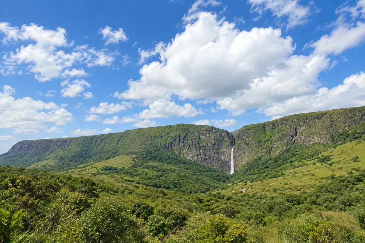
Slap · Vargem Bonita, MG
Cachoeira Casca d'Anta
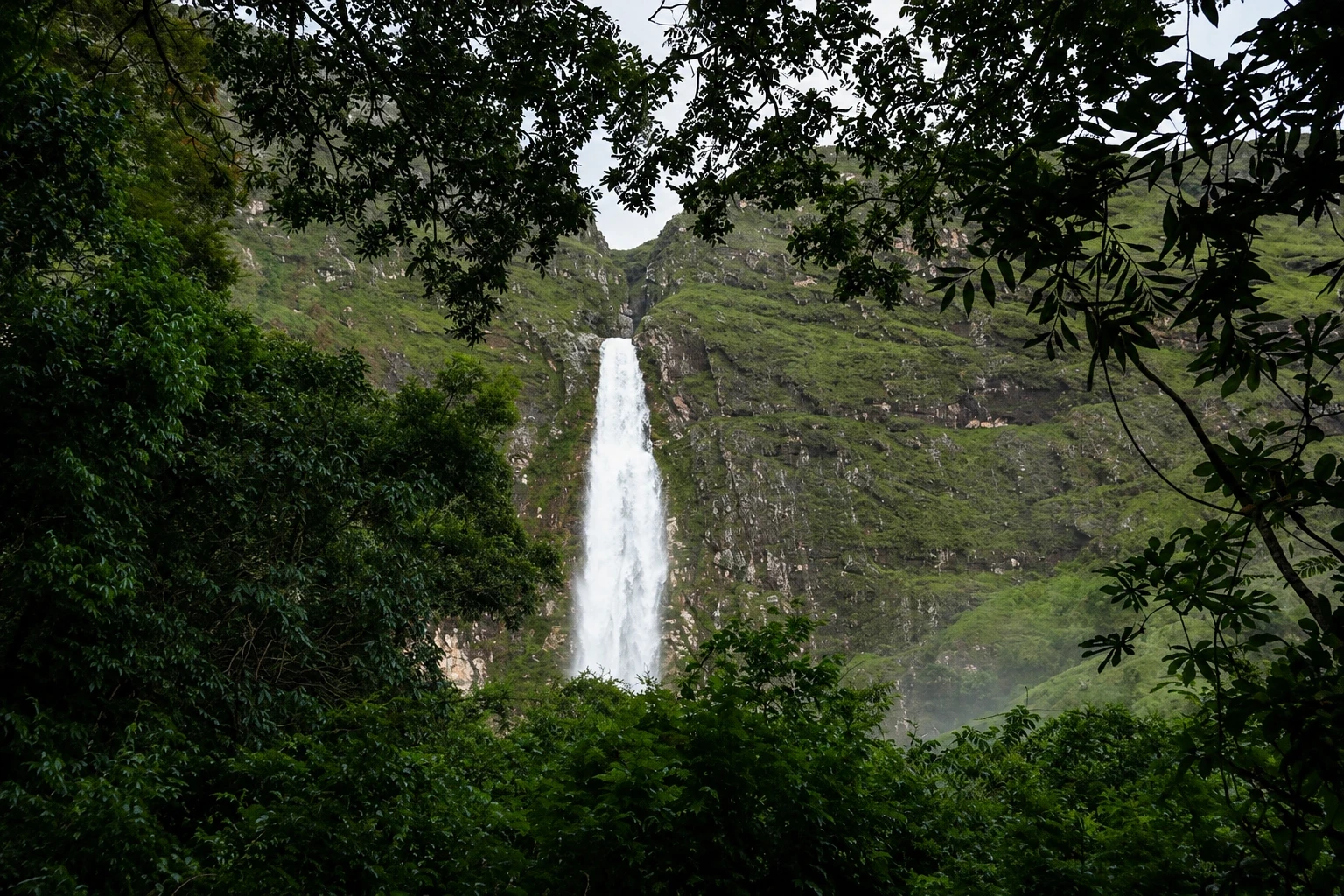
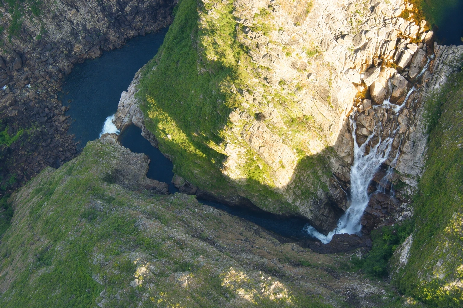
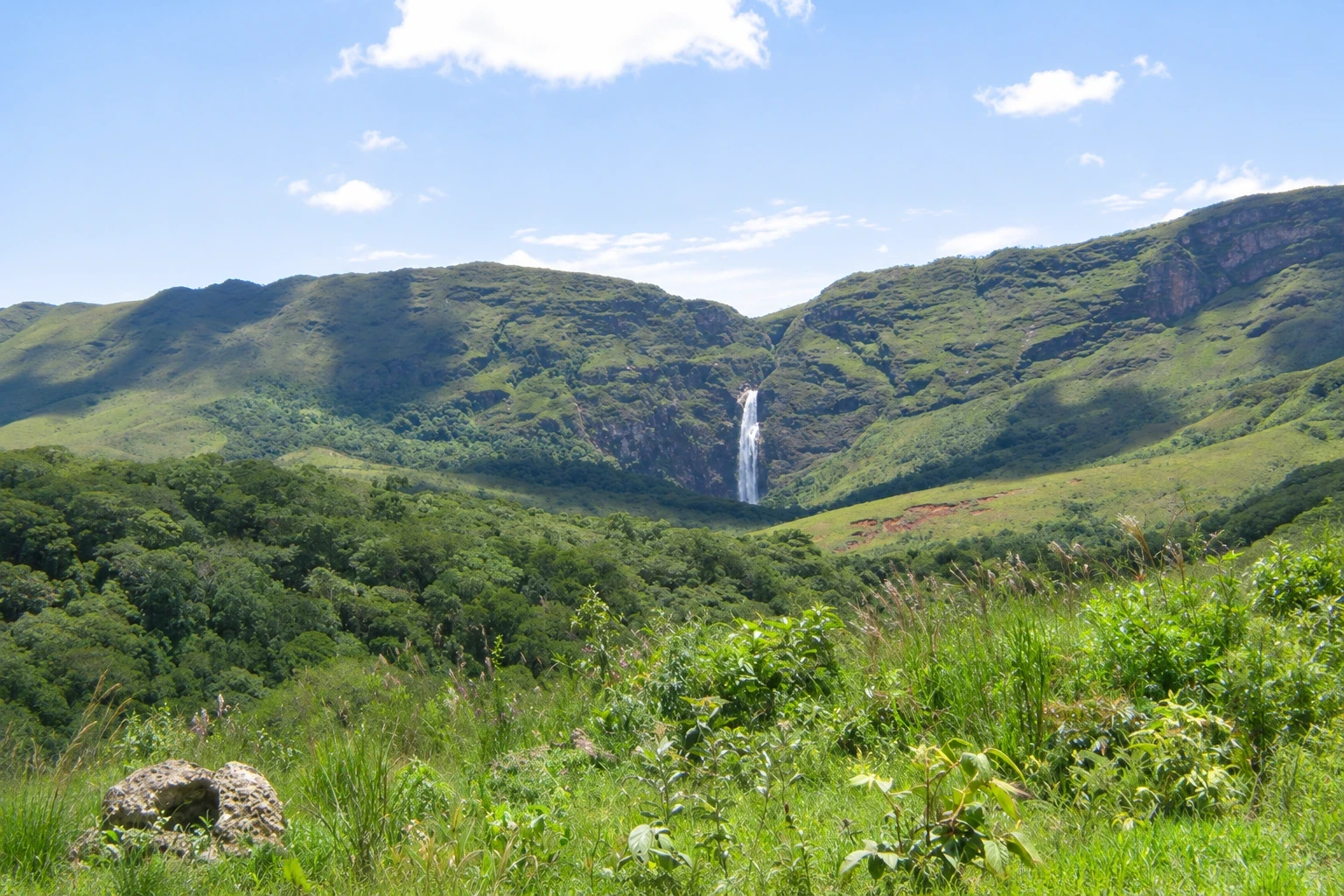
First major drop of the Rio São Francisco, with 186 meters, on the edge of the Serra da Canastra. The lower section, with the pool at the foot of the fall, is visited via Portaria 4 of the national park; the upper section, with pools before the plunge, via Portaria 1.
Illustrative images. The pictures in this guide are illustrations based on the real place, not photographs, and may differ from it.


Pogled na kraj
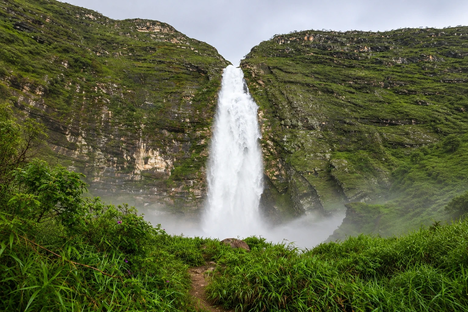
Cachoeira Casca d'Anta v slikah
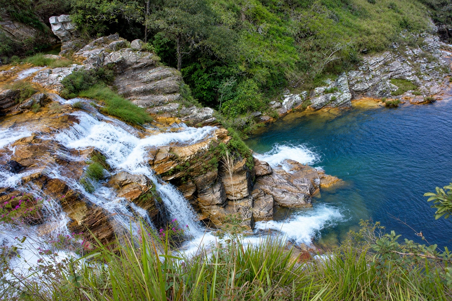
These pictures are illustrations based on the real place, not photographs. They may differ from the place.
Kliknite fotografijo za povečavo.
Spoznajte
O znamenitosti Cachoeira Casca d'Anta
Cachoeira Casca d'Anta is the point where the Rio São Francisco, after running about 14 km across the Canastra plateau, plunges over a quartzite escarpment in a 186-meter drop. It is the river's largest waterfall and one of the highest in Brazil. It lies within Serra da Canastra National Park, in the territory of São Roque de Minas, near the district of São José do Barreiro. The name comes from a tree, the casca-d'anta, which used to be common near the waterfall.
The lower section is the most visited. From Portaria 4, an approximately 1.5 km trail through riparian forest leads to the base of the waterfall, where the water falls into a cold, dark pool framed by the rock wall. Along the way the river runs over rocks and forms small pools.
From the lower section a steep trail of about 3.3 km one-way climbs the escarpment to the upper section. It is a demanding ascent, for those who are fit and start early.
The upper section is also reachable by car via Portaria 1, after more than 30 km of dirt road across the plateau. There the river forms natural pools and small falls before the drop, and a lookout shows the São Francisco valley far below. The full fall is not visible from above: to see it head-on you must go to the lower section.
Pred odhodom
Praktične informacije
Cidade Turismo reviews its information regularly, but something may have changed. Check with the place before planning your trip.
Koliko časa si vzemite
Half a day for the lower section, including the roughly 1.5 km trail and a swim in the pool. The upper section via Portaria 1 takes a full day along with other stops on the plateau. Walking from the lower to the upper section takes a large part of the day.
Najboljši čas
From April to October the roads and trails are usually drier. From November to March the fall generally has more water, but the river rises quickly with the rains and park staff may close access to the pool. Holidays and July gather more people in both sections.
Kako do tja
Lower section: from Vargem Bonita follow about 22 km of dirt road, passing São José do Barreiro, to Portaria 4; from there a roughly 1.5 km trail. From São Roque de Minas it is about 37 km. Upper section: via Portaria 1, about 7 km from São Roque de Minas, and then more than 30 km along the park's main dirt road.
Nasvet
Bring sturdy footwear for the rocks and swimwear: the pool water is cold year-round. On days of heavy rain in the plateau, follow park staff instructions and move away from the riverbed. Entrance is charged at the gate; check the current fee schedule.
Odgovori na vaša vprašanja
Pogosta vprašanja – Cachoeira Casca d'Anta
What is the height of Cachoeira Casca d'Anta?
The drop is 186 meters. It is the first major fall of the Rio São Francisco and the largest along the river's entire course.
Is it better to see Casca d'Anta from above or from below?
They are different visits. From below, via Portaria 4, you can see the entire fall and bathe in the pool at the base of the cliff. From above, via Portaria 1, there are the natural pools before the drop and the viewpoint over the valley, but the fall does not appear in full. Those with time do both.
Can you bathe in Casca d'Anta?
Yes, in the pool at the lower part and in the natural pools at the upper part, in the areas indicated by the park staff. On days of heavy rain access to the water may be closed.
How long is the trail to the lower part of Casca d'Anta?
The trail from Portaria 4 to the base of the fall is about 1.5 km, with sections of rock and riparian forest and little ascent.
Več kot vodnik


